   |
Vital Statistics:
| Length: | 7½mls (12km) |
| Ascent: | 1,467ft (447m) |
| Time: | 4¼hrs |
| Grade: |  |
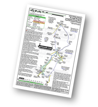
Route outline for walk d101:
Grindleford Station - Padley Gorge - Lawrence Field - Toad's Mouth - Hathersage Moor - Carl Wark - Higger Tor - Fiddler's Elbow - Upper Burbage Bridge - Burbage Moor - Burbage Rocks - Longshaw Country Park - Sheffield Plantation - Nether Padley - Oaks Wood - Grindleford Station
Points of Interest/Notes on this walk:
The odd shaped lumps of rock strewn across so many of the South West's tors are collectively known as 'clitter'.
Peaks, Summits and Tops reached on this walk:
 0 English Mountains |
 0 Wainwrights |
 0 English Nuttalls |
 0 English Deweys |
 0 Wainwright Outlying Fells |
 0 Marilyns |
 3 Bridgets |
Peak Bagging Statistics for this walk:
The highest point of this walk is Burbage Edge at 500m (1641ft). Burbage Edge is known as an English Bridget. The summit of Burbage Edge is marked by an Ordnance Survey Trig Point.
Completing this walk will also take you to the top of Higger Tor at 434m (1424ft). Higger Tor is known as an English Bridget.
You will also reach the summit of Burbage Rocks at 429m (1408ft). Burbage Rocks is known as an English Bridget.
You can find this walk and other nearby walks on these unique free-to-access Interactive Walk Planning Maps:
1:25,000 scale OS Explorer Maps (orange/yellow covers):
1:50,000 scale OS Landranger Maps (pink/magenta covers):
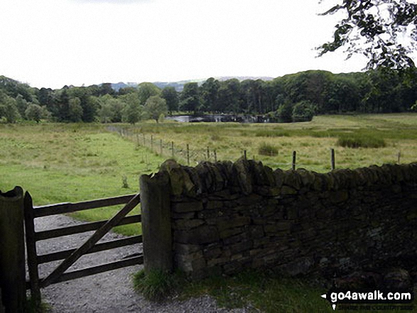
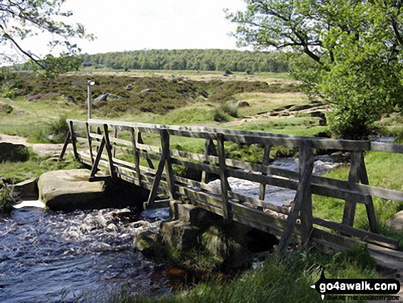
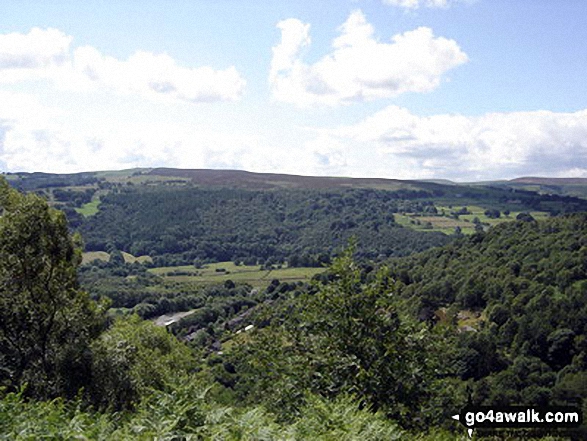
Some Photos and Pictures from Walk d101 Padley Gorge, Burbage Rocks and Longshaw Country Park from Grindleford Station
In no particular order . . .
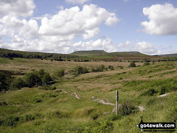
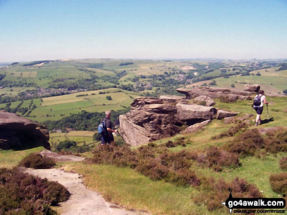
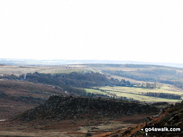
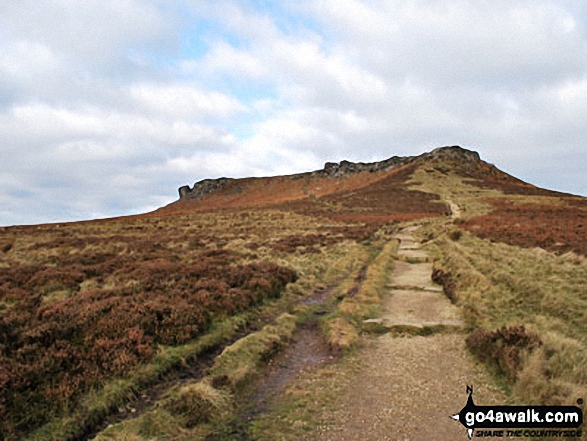
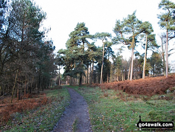
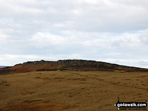
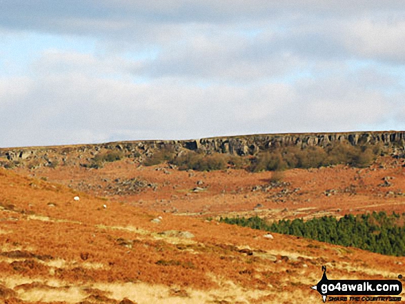
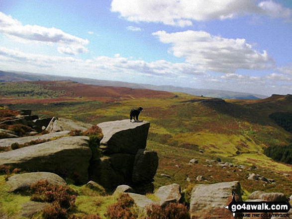
Holly my Collie on Burbage Rocks looking out to Carl Wark with Higger Tor to the right. Kinder Scout is in the far distance
Send us your photographs and pictures from your walks and hikes
We would love to see your photographs and pictures from walk d101 Padley Gorge, Burbage Rocks and Longshaw Country Park from Grindleford Station. Send them in to us as email attachments (configured for any computer) along with your name and where the picture was taken to:
and we shall do our best to publish them.
(Guide Resolution = 300dpi. At least = 660 pixels (wide) x 440 pixels (high).)

You can also submit photos from walk d101 Padley Gorge, Burbage Rocks and Longshaw Country Park from Grindleford Station via our Facebook Page.
NB. Please indicate where each photo was taken.


