Wales - a fully detailed list of all the Mountains, Peaks, Tops and Hills (Page 4 of 7)
Wales is defined as the whole of the principality of Wales which includes the National Parks of Snowdonia,
Bannau Brycheiniog (The Brecon Beacons) and The Pembrokeshire Coast as well as Mynyddoedd Cambria (The Cambrian Mountains), Radnor Forest, Anglesey, The Llynn Peninsula, The Preseli Mountains and The Gower Peninsula.
If you count only the Nuttalls there are 188 tops to climb, bag & conquer and the highest point is Snowdon (Yr Wyddfa) at 1,085m (3,561ft).
To see these Mountains, Peaks, Tops and Hills displayed in different ways - see the options in the left-hand column and towards the bottom of this page.
LOG ON and RELOAD this page to show which Mountains, Peaks, Tops and Hills you have already climbed, bagged & conquered [. . . more details]
Page 4 of 7 Go to page:
1 2 3 4 5 6 7 |
See this list in: Alphabetical Order
| Height Order‡
To reverse the order select the link again.
Mountain, Peak, Top or Hill:
Bagged
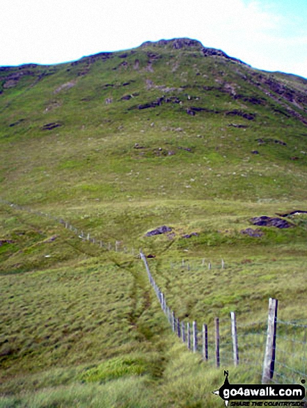
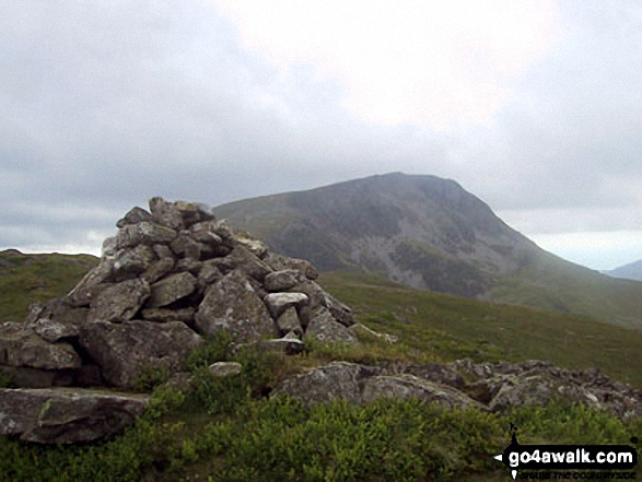
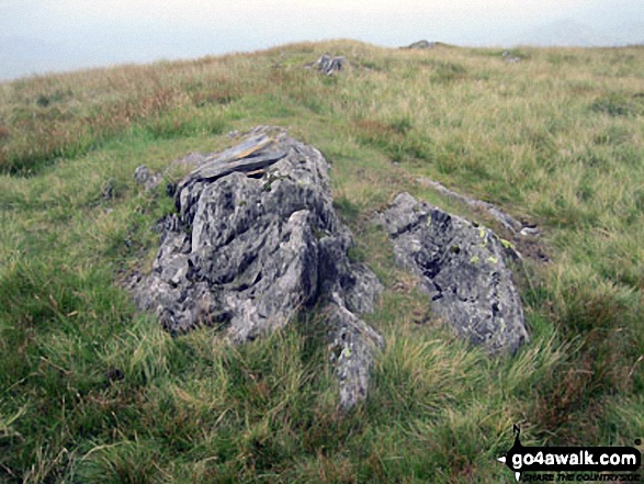
91. Moel yr Ewig
695m (2,280ft)
Nuttall (91st in Wales, 232nd in England & Wales)
To walk, climb & bag Moel yr Ewig use this easy-to-follow walk:
See the location of Moel yr Ewig and walks up it on a google MapMoel yr Ewig is on interactive maps:
OS Explorer (Orange Covers): 255
OS Landranger (Pink Covers): 125
Moel yr Ewig is on downloadable PDF you can Print or Save to your Phone:
|
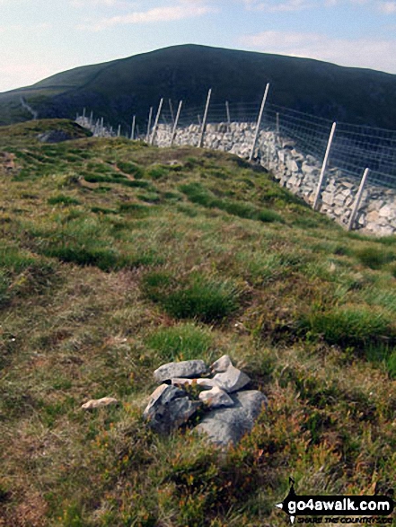
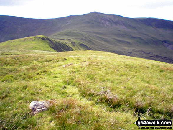
92. Foel Wen
691m (2,267ft)
Mountain (71st in Wales, 181st in England & Wales)
Nuttall (92nd in Wales, 235th in England & Wales)
To walk, climb & bag Foel Wen use this easy-to-follow walk:
See the location of Foel Wen and walks up it on a google MapFoel Wen is on interactive maps:
OS Explorer (Orange Covers): 255
OS Landranger (Pink Covers): 125
Foel Wen is on downloadable PDF you can Print or Save to your Phone:
|
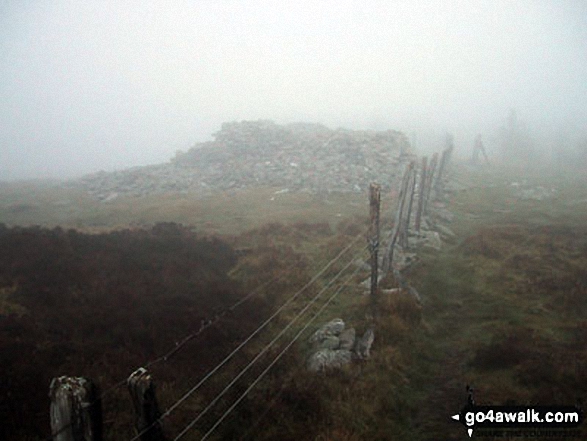
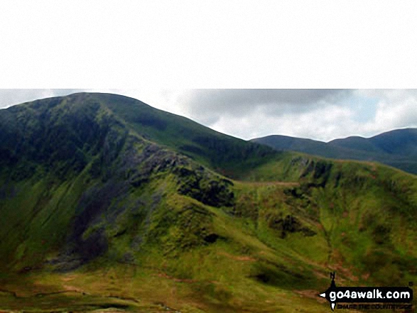
93. Twmpa (Lord Hereford's Knob)
690m (2,264ft)
Mountain (72nd in Wales, 183rd in England & Wales)
Nuttall (93rd in Wales, 237th in England & Wales)
To walk, climb & bag Twmpa (Lord Hereford's Knob) use any of these easy-to-follow walks:
See the location of Twmpa (Lord Hereford's Knob) and walks up it on a google MapTwmpa (Lord Hereford's Knob) is on interactive maps:
OS Explorer (Orange Covers): OL13
OS Landranger (Pink Covers): 161
Twmpa (Lord Hereford's Knob) is on downloadable PDF you can Print or Save to your Phone:
|
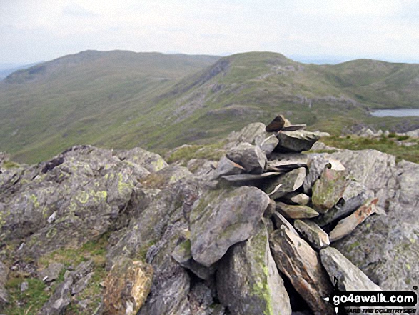
94. Craigysgafn
689m (2,263ft)
Nuttall (94th in Wales, 238th in England & Wales)
To walk, climb & bag Craigysgafn use any of these easy-to-follow walks:
See the location of Craigysgafn and walks up it on a google MapCraigysgafn is on interactive maps:
OS Explorer (Orange Covers): OL18
OS Landranger (Pink Covers): 124
Craigysgafn is on downloadable PDF you can Print or Save to your Phone:
|
95. Arenig Fach
689m (2,261ft)
Mountain (73rd in Wales, 184th in England & Wales)
Nuttall (95th in Wales, 239th in England & Wales)
Marilyn (36th in Wales, 613th in GB)
OS Trig Point
To walk, climb & bag Arenig Fach use this easy-to-follow walk:
See the location of Arenig Fach and walks up it on a google MapArenig Fach is on interactive maps:
OS Explorer (Orange Covers): OL18
OS Landranger (Pink Covers): 124 and
125
Arenig Fach is on downloadable PDF you can Print or Save to your Phone:
|
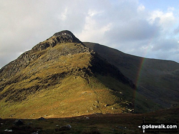
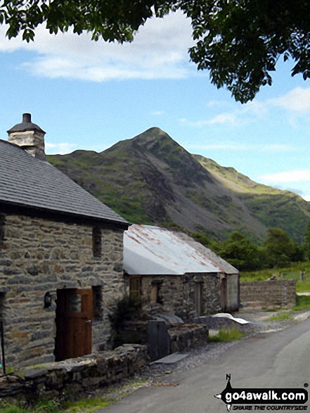
96. Cnicht
689m (2,260ft)
Mountain (74th in Wales, 185th in England & Wales)
Nuttall (96th in Wales, 241st in England & Wales)
Cnicht is often referred to as the Welsh Matterhorn. When viewed from the village of Croesor and the south-west, Cnicht appears to be a perfect pyramid shaped mountain that resembles the Matterhorn on the border between Italy and Switzerland.
To walk, climb & bag Cnicht use any of these easy-to-follow walks:
See the location of Cnicht and walks up it on a google MapCnicht is on interactive maps:
OS Explorer (Orange Covers): OL17
OS Landranger (Pink Covers): 115
Cnicht is on downloadable PDF you can Print or Save to your Phone:
|
97. Foel Hafod-fynydd
689m (2,260ft)
Mountain (75th in Wales, 186th in England & Wales)
Nuttall (97th in Wales, 242nd in England & Wales)
To walk, climb & bag Foel Hafod-fynydd use this easy-to-follow walk:
See the location of Foel Hafod-fynydd and walks up it on a google MapFoel Hafod-fynydd is on interactive maps:
OS Explorer (Orange Covers): OL23
OS Landranger (Pink Covers): 124
Foel Hafod-fynydd is on downloadable PDF you can Print or Save to your Phone:
|
98. Cnicht (North Top)
688m (2,257ft)
Nuttall (98th in Wales, 243rd in England & Wales)
To walk, climb & bag Cnicht (North Top) use any of these easy-to-follow walks:
See the location of Cnicht (North Top) and walks up it on a google MapCnicht (North Top) is on interactive maps:
OS Explorer (Orange Covers): OL17
OS Landranger (Pink Covers): 117
Cnicht (North Top) is on downloadable PDF you can Print or Save to your Phone:
|
99. Foel Wen (South Top)
687m (2,256ft)
Nuttall (99th in Wales, 244th in England & Wales)
To walk, climb & bag Foel Wen (South Top) use this easy-to-follow walk:
See the location of Foel Wen (South Top) and walks up it on a google MapFoel Wen (South Top) is on interactive maps:
OS Explorer (Orange Covers): 255
OS Landranger (Pink Covers): 125
Foel Wen (South Top) is on downloadable PDF you can Print or Save to your Phone:
|
100. Gwaun y Llwyni
685m (2,247ft)
Mountain (76th in Wales, 189th in England & Wales)
Nuttall (100th in Wales, 247th in England & Wales)
To walk, climb & bag Gwaun y Llwyni use this easy-to-follow walk:
See the location of Gwaun y Llwyni and walks up it on a google MapGwaun y Llwyni is on interactive maps:
OS Explorer (Orange Covers): OL23
OS Landranger (Pink Covers): 124
Gwaun y Llwyni is on downloadable PDF you can Print or Save to your Phone:
|
101. Pen y Brynfforchog
685m (2,247ft)
Mountain (77th in Wales, 190th in England & Wales)
Nuttall (101st in Wales, 248th in England & Wales)
To walk, climb & bag Pen y Brynfforchog use this easy-to-follow walk:
See the location of Pen y Brynfforchog and walks up it on a google MapPen y Brynfforchog is on interactive maps:
OS Explorer (Orange Covers): OL23
OS Landranger (Pink Covers): 124
Pen y Brynfforchog is on downloadable PDF you can Print or Save to your Phone:
|
102. Y Garn (Pumlumon)
684m (2,245ft)
Mountain (78th in Wales, 191st in England & Wales)
Nuttall (102nd in Wales, 250th in England & Wales)
To walk, climb & bag Y Garn (Pumlumon) use this easy-to-follow walk:
See the location of Y Garn (Pumlumon) and walks up it on a google MapY Garn (Pumlumon) is on interactive maps:
OS Explorer (Orange Covers): 213
OS Landranger (Pink Covers): 135
A downloadable go4awalk.com PDF Peak Bagging Map featuring Y Garn (Pumlumon) will be available soon. |
103. Gau Graig
683m (2,242ft)
Nuttall (103rd in Wales, 253rd in England & Wales)
Gau Graig was deleted from Mountain (Hewitt) status in May, 2015 after a survey found the 'prominence' to be only 25.4m
To walk, climb & bag Gau Graig use either of these easy-to-follow walks:
See the location of Gau Graig and walks up it on a google MapGau Graig is on interactive maps:
OS Explorer (Orange Covers): OL23
OS Landranger (Pink Covers): 124
Gau Graig is on downloadable PDF you can Print or Save to your Phone:
|
104. Crib-y-rhiw
681m (2,235ft)
Nuttall (104th in Wales, 254th in England & Wales)
To walk, climb & bag Crib-y-rhiw use this easy-to-follow walk:
See the location of Crib-y-rhiw and walks up it on a google MapCrib-y-rhiw is on interactive maps:
OS Explorer (Orange Covers): OL18
OS Landranger (Pink Covers): 124
Crib-y-rhiw is on downloadable PDF you can Print or Save to your Phone:
|
105. Mynydd Tarw
681m (2,235ft)
Mountain (79th in Wales, 193rd in England & Wales)
Nuttall (105th in Wales, 256th in England & Wales)
To walk, climb & bag Mynydd Tarw use this easy-to-follow walk:
See the location of Mynydd Tarw and walks up it on a google MapMynydd Tarw is on interactive maps:
OS Explorer (Orange Covers): 255
OS Landranger (Pink Covers): 125
Mynydd Tarw is on downloadable PDF you can Print or Save to your Phone:
|
106. Godor
679m (2,229ft)
Nuttall (106th in Wales, 259th in England & Wales)
To walk, climb & bag Godor use this easy-to-follow walk:
See the location of Godor and walks up it on a google MapGodor is on interactive maps:
OS Explorer (Orange Covers): 255
OS Landranger (Pink Covers): 125
Godor is on downloadable PDF you can Print or Save to your Phone:
|
107. Chwarel y Fan
679m (2,228ft)
Mountain (86th in Wales, 214th in England & Wales)
Nuttall (107th in Wales, 260th in England & Wales)
Chwarel y Fan is the highest point in the county of Monmouthshire.
To walk, climb & bag Chwarel y Fan use either of these easy-to-follow walks:
See the location of Chwarel y Fan and walks up it on a google MapChwarel y Fan is on interactive maps:
OS Explorer (Orange Covers): OL13
OS Landranger (Pink Covers): 161
Chwarel y Fan is on downloadable PDF you can Print or Save to your Phone:
|
108. Maesglase (Craig Rhiw-erch)
678m (2,226ft)
Mountain (82nd in Wales, 199th in England & Wales)
Nuttall (108th in Wales, 261st in England & Wales)
Marilyn (38th in Wales, 641st in GB)
To walk, climb & bag Maesglase (Craig Rhiw-erch) use this easy-to-follow walk:
See the location of Maesglase (Craig Rhiw-erch) and walks up it on a google MapMaesglase (Craig Rhiw-erch) is on interactive maps:
OS Explorer (Orange Covers): OL23
OS Landranger (Pink Covers): 124 and
125
Maesglase (Craig Rhiw-erch) is on downloadable PDF you can Print or Save to your Phone:
|
109. Creigiau Gleision
678m (2,225ft)
Mountain (80th in Wales, 197th in England & Wales)
Nuttall (109th in Wales, 263rd in England & Wales)
Marilyn (37th in Wales, 634th in GB)
To walk, climb & bag Creigiau Gleision use any of these easy-to-follow walks:
See the location of Creigiau Gleision and walks up it on a google MapCreigiau Gleision is on interactive maps:
OS Explorer (Orange Covers): OL17
OS Landranger (Pink Covers): 115
Creigiau Gleision is on downloadable PDF you can Print or Save to your Phone:
|
110. Waun Lefrith (Bannau Sir Gaer)
677m (2,221ft)
Nuttall (110th in Wales, 264th in England & Wales)
To walk, climb & bag Waun Lefrith (Bannau Sir Gaer) use any of these easy-to-follow walks:
See the location of Waun Lefrith (Bannau Sir Gaer) and walks up it on a google MapWaun Lefrith (Bannau Sir Gaer) is on interactive maps:
OS Explorer (Orange Covers): OL12
OS Landranger (Pink Covers): 160
Waun Lefrith (Bannau Sir Gaer) is on downloadable PDF you can Print or Save to your Phone:
|
111. Moel Druman
676m (2,219ft)
Mountain (81st in Wales, 198th in England & Wales)
Nuttall (111th in Wales, 266th in England & Wales)
To walk, climb & bag Moel Druman use this easy-to-follow walk:
See the location of Moel Druman and walks up it on a google MapMoel Druman is on interactive maps:
OS Explorer (Orange Covers): OL17
OS Landranger (Pink Covers): 115
Moel Druman is on downloadable PDF you can Print or Save to your Phone:
|
112. Godor (North Top)
675m (2,215ft)
Nuttall (112th in Wales, 271st in England & Wales)
To walk, climb & bag Godor (North Top) use this easy-to-follow walk:
See the location of Godor (North Top) and walks up it on a google MapGodor (North Top) is on interactive maps:
OS Explorer (Orange Covers): 255
OS Landranger (Pink Covers): 125
Godor (North Top) is on downloadable PDF you can Print or Save to your Phone:
|
113. Moel Cynghorion
674m (2,212ft)
Mountain (83rd in Wales, 205th in England & Wales)
Nuttall (113th in Wales, 274th in England & Wales)
Marilyn (39th in Wales, 643rd in GB)
To walk, climb & bag Moel Cynghorion use any of these easy-to-follow walks:
See the location of Moel Cynghorion and walks up it on a google MapMoel Cynghorion is on interactive maps:
OS Explorer (Orange Covers): OL17
OS Landranger (Pink Covers): 115
Moel Cynghorion is on downloadable PDF you can Print or Save to your Phone:
|
114. Ysgafell Wen
672m (2,206ft)
Mountain (84th in Wales, 208th in England & Wales)
Nuttall (114th in Wales, 279th in England & Wales)
To walk, climb & bag Ysgafell Wen use this easy-to-follow walk:
See the location of Ysgafell Wen and walks up it on a google MapYsgafell Wen is on interactive maps:
OS Explorer (Orange Covers): OL17
OS Landranger (Pink Covers): 115
Ysgafell Wen is on downloadable PDF you can Print or Save to your Phone:
|
115. Esgeiriau Gwynion
671m (2,202ft)
Mountain (85th in Wales, 213th in England & Wales)
Nuttall (115th in Wales, 284th in England & Wales)
Marilyn (40th in Wales, 650th in GB)
To walk, climb & bag Esgeiriau Gwynion use this easy-to-follow walk:
See the location of Esgeiriau Gwynion and walks up it on a google MapEsgeiriau Gwynion is on interactive maps:
OS Explorer (Orange Covers): OL23
OS Landranger (Pink Covers): 124
Esgeiriau Gwynion is on downloadable PDF you can Print or Save to your Phone:
|
116. Waun-oer
670m (2,198ft)
Mountain (87th in Wales, 215th in England & Wales)
Nuttall (116th in Wales, 286th in England & Wales)
OS Trig Point
To walk, climb & bag Waun-oer use either of these easy-to-follow walks:
See the location of Waun-oer and walks up it on a google MapWaun-oer is on interactive maps:
OS Explorer (Orange Covers): OL23
OS Landranger (Pink Covers): 124
Waun-oer is on downloadable PDF you can Print or Save to your Phone:
|
117. Carnedd y Filiast (Arenigs)
669m (2,195ft)
Mountain (89th in Wales, 217th in England & Wales)
Nuttall (117th in Wales, 287th in England & Wales)
Marilyn (41st in Wales, 652nd in GB)
OS Trig Point
We hope to have walks that climb & bag Carnedd y Filiast (Arenigs) very soon
See the location of Carnedd y Filiast (Arenigs) and walks up it on a google MapCarnedd y Filiast (Arenigs) is on interactive maps:
OS Explorer (Orange Covers): OL18
OS Landranger (Pink Covers): 124 and
125
Carnedd y Filiast (Arenigs) is on downloadable PDF you can Print or Save to your Phone:
|
118. Ysgafell Wen (North Top)
669m (2,195ft)
Mountain (88th in Wales, 216th in England & Wales)
Nuttall (118th in Wales, 288th in England & Wales)
To walk, climb & bag Ysgafell Wen (North Top) use this easy-to-follow walk:
See the location of Ysgafell Wen (North Top) and walks up it on a google MapYsgafell Wen (North Top) is on interactive maps:
OS Explorer (Orange Covers): OL17
OS Landranger (Pink Covers): 115
Ysgafell Wen (North Top) is on downloadable PDF you can Print or Save to your Phone:
|
119. Fan Fraith
668m (2,192ft)
Nuttall (119th in Wales, 290th in England & Wales)
To walk, climb & bag Fan Fraith use either of these easy-to-follow walks:
See the location of Fan Fraith and walks up it on a google MapFan Fraith is on interactive maps:
OS Explorer (Orange Covers): OL12
OS Landranger (Pink Covers): 160
Fan Fraith is on downloadable PDF you can Print or Save to your Phone:
|
120. Foel Cedig
668m (2,192ft)
Mountain (90th in Wales, 219th in England & Wales)
Nuttall (120th in Wales, 291st in England & Wales)
Marilyn (42nd in Wales, 656th in GB)
Foel Cedig became a Welsh Mountain (Hewitt), a 'Nuttall' and a 'Marilyn' in 2018 when it was found to be slightly higher that Cyrniau Nod 800m to the SE.
To walk, climb & bag Foel Cedig use either of these easy-to-follow walks:
See the location of Foel Cedig and walks up it on a google MapFoel Cedig is on interactive maps:
OS Explorer (Orange Covers): 239 and
255
OS Landranger (Pink Covers): 125
Foel Cedig is on downloadable PDF you can Print or Save to your Phone:
|
Page 4 of 7 Go to page:
1 2 3 4 5 6 7 |
View these 188 Mountains, Peaks, Tops and Hills:
Is there a Mountain, Peak, Top or Hill missing from the above google map or list?
Let us know an we will add it to our database.

 Snowdon (Yr Wyddfa) in The BerwynsWales


