England - a fully detailed list of all the Mountains, Peaks, Tops and Hills (Page 5 of 6)
England is defined as the whole of the country of England which includes the National Parks of Dartmoor, Exmoor, The Lake District, The Peak District, The North York Moors, Northumberland, The South Downs and The Yorkshire Dales, as well as The Chilterns, The Cotswolds, The Forest of Bowland, The North Peninnes, The Shropshire Hills and The South Peninnes.
If you count only the Mountains (Hewitts) there are 180 tops to climb, bag & conquer and the highest point is Scafell Pike at 978m (3,210ft).
To see these Mountains, Peaks, Tops and Hills displayed in different ways - see the options in the left-hand column and towards the bottom of this page.
LOG ON and RELOAD this page to show which Mountains, Peaks, Tops and Hills you have already climbed, bagged & conquered [. . . more details]
Page 5 of 6 Go to page:
1 2 3 4 5 6 |
See this list in: Alphabetical Order
| Height Order‡
To reverse the order select the link again.
Mountain, Peak, Top or Hill:
Bagged
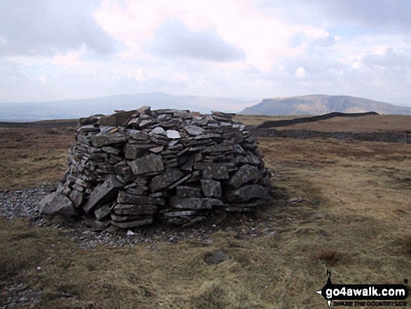
121. Lovely Seat
675m (2,214ft)
Mountain (121st in England, 204th in England & Wales)
Nuttall (161st in England, 273rd in England & Wales)
Lovely Seat was promoted to Marilyn status in 1995 but demoted again in 2010.
To walk, climb & bag Lovely Seat use this easy-to-follow walk:
See the location of Lovely Seat and walks up it on a google MapLovely Seat is on interactive maps:
OS Explorer (Orange Covers): OL30
OS Landranger (Pink Covers): 98
Lovely Seat is on downloadable PDF you can Print or Save to your Phone:
|
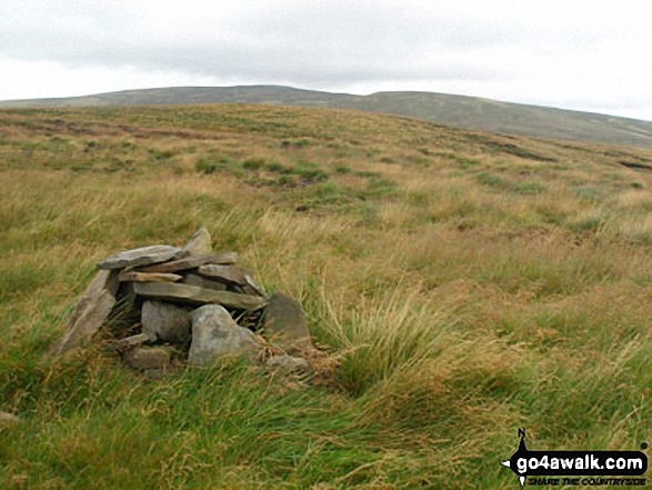
122. Murton Fell
673m (2,210ft)
Mountain (122nd in England, 206th in England & Wales)
Nuttall (163rd in England, 276th in England & Wales)
To walk, climb & bag Murton Fell use either of these easy-to-follow walks:
See the location of Murton Fell and walks up it on a google MapMurton Fell is on interactive maps:
OS Explorer (Orange Covers): OL19
OS Landranger (Pink Covers): 91
Murton Fell is on downloadable PDF you can Print or Save to your Phone:
|
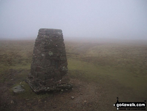
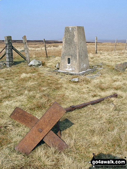
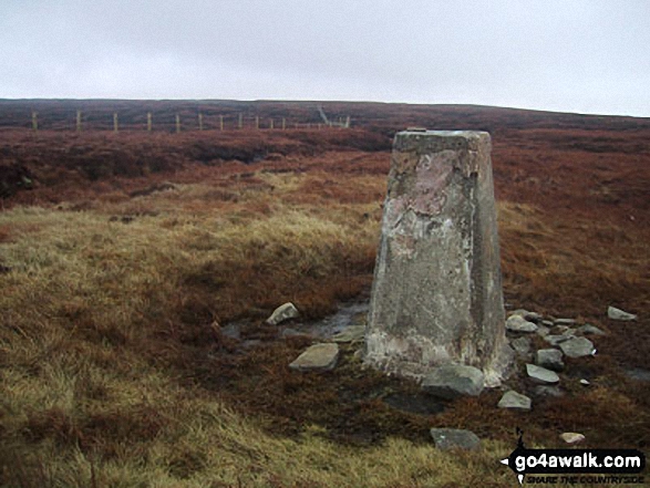
123. Killhope Law
673m (2,208ft)
Mountain (123rd in England, 207th in England & Wales)
Nuttall (165th in England, 278th in England & Wales)
OS Trig Point
To walk, climb & bag Killhope Law use any of these easy-to-follow walks:
See the location of Killhope Law and walks up it on a google MapKillhope Law is on interactive maps:
OS Explorer (Orange Covers): OL31
OS Landranger (Pink Covers): 86 and
87
Killhope Law is on downloadable PDF you can Print or Save to your Phone:
|
124. Great Knoutberry Hill (Widdale Fell)
672m (2,205ft)
Mountain (124th in England, 209th in England & Wales)
Nuttall (166th in England, 280th in England & Wales)
Marilyn (38th in England, 647th in GB)
OS Trig Point
To walk, climb & bag Great Knoutberry Hill (Widdale Fell) use any of these easy-to-follow walks:
See the location of Great Knoutberry Hill (Widdale Fell) and walks up it on a google MapGreat Knoutberry Hill (Widdale Fell) is on interactive maps:
OS Explorer (Orange Covers): OL2
OS Landranger (Pink Covers): 98
Great Knoutberry Hill (Widdale Fell) is on downloadable PDF you can Print or Save to your Phone:
|
125. Loadpot Hill
672m (2,205ft)
Wainwright (No. 102)
Mountain (125th in England, 210th in England & Wales)
Nuttall (167th in England, 281st in England & Wales)
OS Trig Point
To walk, climb & bag Loadpot Hill use any of these easy-to-follow walks:
See the location of Loadpot Hill and walks up it on a google MapLoadpot Hill is on interactive maps:
OS Explorer (Orange Covers): OL5
OS Landranger (Pink Covers): 90
Loadpot Hill is on downloadable PDF you can Print or Save to your Phone:
*Version including the walk routes marked on it that you need to follow to Walk all 214 Wainwrights in just 59 walks. |
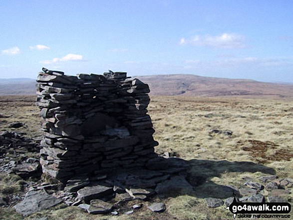
126. Rogan's Seat
672m (2,205ft)
Mountain (126th in England, 211th in England & Wales)
Nuttall (168th in England, 282nd in England & Wales)
Marilyn (39th in England, 648th in GB)
To walk, climb & bag Rogan's Seat use this easy-to-follow walk:
See the location of Rogan's Seat and walks up it on a google MapRogan's Seat is on interactive maps:
OS Explorer (Orange Covers): OL30
OS Landranger (Pink Covers): 91 and
92
Rogan's Seat is on downloadable PDF you can Print or Save to your Phone:
|
127. Scar Crags
672m (2,205ft)
Wainwright (No. 101)
Mountain (127th in England, 212th in England & Wales)
Nuttall (169th in England, 283rd in England & Wales)
To walk, climb & bag Scar Crags use any of these easy-to-follow walks:
See the location of Scar Crags and walks up it on a google MapScar Crags is on interactive maps:
OS Explorer (Orange Covers): OL4
OS Landranger (Pink Covers): 89 and
90
Scar Crags is on downloadable PDF you can Print or Save to your Phone:
*Version including the walk routes marked on it that you need to follow to Walk all 214 Wainwrights in just 59 walks. |
128. Dodd Fell Hill
668m (2,192ft)
Mountain (128th in England, 218th in England & Wales)
Nuttall (171st in England, 289th in England & Wales)
Marilyn (40th in England, 655th in GB)
OS Trig Point
To walk, climb & bag Dodd Fell Hill use this easy-to-follow walk:
See the location of Dodd Fell Hill and walks up it on a google MapDodd Fell Hill is on interactive maps:
OS Explorer (Orange Covers): OL2 and
OL30
OS Landranger (Pink Covers): 98
Dodd Fell Hill is on downloadable PDF you can Print or Save to your Phone:
|
129. Fountains Fell
668m (2,192ft)
Mountain (129th in England, 220th in England & Wales)
Nuttall (172nd in England, 292nd in England & Wales)
Marilyn (41st in England, 657th in GB)
To walk, climb & bag Fountains Fell use this easy-to-follow walk:
See the location of Fountains Fell and walks up it on a google MapFountains Fell is on interactive maps:
OS Explorer (Orange Covers): OL2
OS Landranger (Pink Covers): 98
Fountains Fell is on downloadable PDF you can Print or Save to your Phone:
|
130. Little Fell (Lunds Fell) (Mallerstang)
667m (2,189ft)
Mountain (130th in England, 221st in England & Wales)
Nuttall (174th in England, 294th in England & Wales)
A survey in Oct 2022 detrmined that the summit of Little Fell was at Sails, 500m S of the high point marked on OS Map OL19. However, the name of top remains Little Fell (Lunds Fell) (Mallerstang).
To walk, climb & bag Little Fell (Lunds Fell) (Mallerstang) use this easy-to-follow walk:
See the location of Little Fell (Lunds Fell) (Mallerstang) and walks up it on a google MapLittle Fell (Lunds Fell) (Mallerstang) is on interactive maps:
OS Explorer (Orange Covers): OL19
OS Landranger (Pink Covers): 98
Little Fell (Lunds Fell) (Mallerstang) is on downloadable PDF you can Print or Save to your Phone:
|
131. Black Fell (Haresceugh Fell)
664m (2,179ft)
Mountain (131st in England, 224th in England & Wales)
Nuttall (176th in England, 298th in England & Wales)
OS Trig Point
To walk, climb & bag Black Fell (Haresceugh Fell) use either of these easy-to-follow walks:
See the location of Black Fell (Haresceugh Fell) and walks up it on a google MapBlack Fell (Haresceugh Fell) is on interactive maps:
OS Explorer (Orange Covers): OL31
OS Landranger (Pink Covers): 86
Black Fell (Haresceugh Fell) is on downloadable PDF you can Print or Save to your Phone:
|
132. Tarn Crag (Sleddale)
664m (2,179ft)
Wainwright (No. 104)
Mountain (132nd in England, 225th in England & Wales)
Nuttall (177th in England, 300th in England & Wales)
Marilyn (42nd in England, 667th in GB)
To walk, climb & bag Tarn Crag (Sleddale) use this easy-to-follow walk:
See the location of Tarn Crag (Sleddale) and walks up it on a google MapTarn Crag (Sleddale) is on interactive maps:
OS Explorer (Orange Covers): OL7
OS Landranger (Pink Covers): 90
Tarn Crag (Sleddale) is on downloadable PDF you can Print or Save to your Phone:
*Version including the walk routes marked on it that you need to follow to Walk all 214 Wainwrights in just 59 walks. |
133. Carrock Fell
662m (2,173ft)
Wainwright (No. 106)
Mountain (133rd in England, 228th in England & Wales)
Nuttall (179th in England, 304th in England & Wales)
OS Trig Point
To walk, climb & bag Carrock Fell use either of these easy-to-follow walks:
See the location of Carrock Fell and walks up it on a google MapCarrock Fell is on interactive maps:
OS Explorer (Orange Covers): OL5
OS Landranger (Pink Covers): 90
Carrock Fell is on downloadable PDF you can Print or Save to your Phone:
*Version including the walk routes marked on it that you need to follow to Walk all 214 Wainwrights in just 59 walks. |
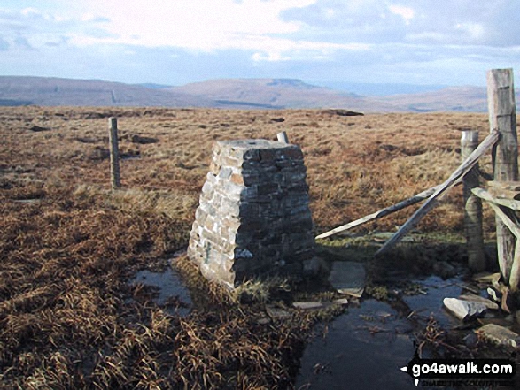
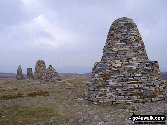
134. Nine Standards Rigg
662m (2,172ft)
Mountain (134th in England, 229th in England & Wales)
Nuttall (180th in England, 306th in England & Wales)
Marilyn (43rd in England, 673rd in GB)
OS Trig Point
To walk, climb & bag Nine Standards Rigg use any of these easy-to-follow walks:
See the location of Nine Standards Rigg and walks up it on a google MapNine Standards Rigg is on interactive maps:
OS Explorer (Orange Covers): OL19
OS Landranger (Pink Covers): 91 and
92
Nine Standards Rigg is on downloadable PDF you can Print or Save to your Phone:
|
135. Whiteless Pike
660m (2,166ft)
Wainwright (No. 105)
Mountain (135th in England, 234th in England & Wales)
Nuttall (181st in England, 310th in England & Wales)
To walk, climb & bag Whiteless Pike use any of these easy-to-follow walks:
See the location of Whiteless Pike and walks up it on a google MapWhiteless Pike is on interactive maps:
OS Explorer (Orange Covers): OL4
OS Landranger (Pink Covers): 89 and
90
Whiteless Pike is on downloadable PDF you can Print or Save to your Phone:
*Version including the walk routes marked on it that you need to follow to Walk all 214 Wainwrights in just 59 walks. |
136. High Pike (Caldbeck)
658m (2,160ft)
Wainwright (No. 107)
Mountain (136th in England, 236th in England & Wales)
Nuttall (182nd in England, 315th in England & Wales)
OS Trig Point
To walk, climb & bag High Pike (Caldbeck) use either of these easy-to-follow walks:
See the location of High Pike (Caldbeck) and walks up it on a google MapHigh Pike (Caldbeck) is on interactive maps:
OS Explorer (Orange Covers): OL5
OS Landranger (Pink Covers): 90
High Pike (Caldbeck) is on downloadable PDF you can Print or Save to your Phone:
*Version including the walk routes marked on it that you need to follow to Walk all 214 Wainwrights in just 59 walks. |
137. Place Fell
657m (2,156ft)
Wainwright (No. 108)
Mountain (137th in England, 238th in England & Wales)
Nuttall (184th in England, 319th in England & Wales)
Marilyn (44th in England, 684th in GB)
OS Trig Point
To walk, climb & bag Place Fell use any of these easy-to-follow walks:
See the location of Place Fell and walks up it on a google MapPlace Fell is on interactive maps:
OS Explorer (Orange Covers): OL5
OS Landranger (Pink Covers): 90
Place Fell is on downloadable PDF you can Print or Save to your Phone:
*Version including the walk routes marked on it that you need to follow to Walk all 214 Wainwrights in just 59 walks. |
138. Grey Nag
656m (2,153ft)
Mountain (138th in England, 239th in England & Wales)
Nuttall (185th in England, 320th in England & Wales)
OS Trig Point
To walk, climb & bag Grey Nag use either of these easy-to-follow walks:
See the location of Grey Nag and walks up it on a google MapGrey Nag is on interactive maps:
OS Explorer (Orange Covers): OL31
OS Landranger (Pink Covers): 86
Grey Nag is on downloadable PDF you can Print or Save to your Phone:
|
139. Selside Pike
655m (2,150ft)
Wainwright (No. 110)
Mountain (139th in England, 241st in England & Wales)
Nuttall (187th in England, 323rd in England & Wales)
To walk, climb & bag Selside Pike use any of these easy-to-follow walks:
See the location of Selside Pike and walks up it on a google MapSelside Pike is on interactive maps:
OS Explorer (Orange Covers): OL5
OS Landranger (Pink Covers): 90
Selside Pike is on downloadable PDF you can Print or Save to your Phone:
*Version including the walk routes marked on it that you need to follow to Walk all 214 Wainwrights in just 59 walks. |
140. Harter Fell (Eskdale)
654m (2,146ft)
Wainwright (No. 112)
Mountain (140th in England, 242nd in England & Wales)
Nuttall (188th in England, 325th in England & Wales)
Marilyn (45th in England, 687th in GB)
OS Trig Point
To walk, climb & bag Harter Fell (Eskdale) use any of these easy-to-follow walks:
See the location of Harter Fell (Eskdale) and walks up it on a google MapHarter Fell (Eskdale) is on interactive maps:
OS Explorer (Orange Covers): OL6
OS Landranger (Pink Covers): 96
Harter Fell (Eskdale) is on downloadable PDF you can Print or Save to your Phone:
*Version including the walk routes marked on it that you need to follow to Walk all 214 Wainwrights in just 59 walks. |
141. High Spy
653m (2,143ft)
Wainwright (No. 113)
Mountain (141st in England, 243rd in England & Wales)
Nuttall (189th in England, 326th in England & Wales)
To walk, climb & bag High Spy use any of these easy-to-follow walks:
See the location of High Spy and walks up it on a google MapHigh Spy is on interactive maps:
OS Explorer (Orange Covers): OL4
OS Landranger (Pink Covers): 89 and
90
High Spy is on downloadable PDF you can Print or Save to your Phone:
*Version including the walk routes marked on it that you need to follow to Walk all 214 Wainwrights in just 59 walks. |
142. Comb Fell
652m (2,139ft)
Mountain (142nd in England, 245th in England & Wales)
Nuttall (190th in England, 328th in England & Wales)
To walk, climb & bag Comb Fell use this easy-to-follow walk:
See the location of Comb Fell and walks up it on a google MapComb Fell is on interactive maps:
OS Explorer (Orange Covers): OL16
OS Landranger (Pink Covers): 80
A downloadable go4awalk.com PDF Peak Bagging Map featuring Comb Fell will be available soon. |
143. Rossett Pike
651m (2,136ft)
Wainwright (No. 115)
Mountain (143rd in England, 246th in England & Wales)
Nuttall (191st in England, 329th in England & Wales)
To walk, climb & bag Rossett Pike use any of these easy-to-follow walks:
See the location of Rossett Pike and walks up it on a google MapRossett Pike is on interactive maps:
OS Explorer (Orange Covers): OL6
OS Landranger (Pink Covers): 89 and
90
Rossett Pike is on downloadable PDF you can Print or Save to your Phone:
*Version including the walk routes marked on it that you need to follow to Walk all 214 Wainwrights in just 59 walks. |
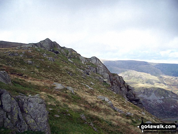
144. Three Pikes
650m (2,134ft)
Mountain (144th in England, 247th in England & Wales)
Nuttall (192nd in England, 331st in England & Wales)
To walk, climb & bag Three Pikes use any of these easy-to-follow walks:
See the location of Three Pikes and walks up it on a google MapThree Pikes is on interactive maps:
OS Explorer (Orange Covers): OL31
OS Landranger (Pink Covers): 91 and
92
Three Pikes is on downloadable PDF you can Print or Save to your Phone:
|
145. Simon Fell
650m (2,133ft)
Mountain (145th in England, 249th in England & Wales)
Nuttall (193rd in England, 333rd in England & Wales)
To walk, climb & bag Simon Fell use this easy-to-follow walk:
See the location of Simon Fell and walks up it on a google MapSimon Fell is on interactive maps:
OS Explorer (Orange Covers): OL2
OS Landranger (Pink Covers): 98
Simon Fell is on downloadable PDF you can Print or Save to your Phone:
|
146. Viewing Hill
649m (2,130ft)
Mountain (146th in England, 250th in England & Wales)
Nuttall (194th in England, 334th in England & Wales)
To walk, climb & bag Viewing Hill use this easy-to-follow walk:
See the location of Viewing Hill and walks up it on a google MapViewing Hill is on interactive maps:
OS Explorer (Orange Covers): OL31
OS Landranger (Pink Covers): 91
Viewing Hill is on downloadable PDF you can Print or Save to your Phone:
|
147. Fleetwith Pike
648m (2,126ft)
Wainwright (No. 116)
Mountain (147th in England, 253rd in England & Wales)
Nuttall (195th in England, 337th in England & Wales)
To walk, climb & bag Fleetwith Pike use any of these easy-to-follow walks:
See the location of Fleetwith Pike and walks up it on a google MapFleetwith Pike is on interactive maps:
OS Explorer (Orange Covers): OL4
OS Landranger (Pink Covers): 89 and
90
Fleetwith Pike is on downloadable PDF you can Print or Save to your Phone:
*Version including the walk routes marked on it that you need to follow to Walk all 214 Wainwrights in just 59 walks. |
148. Base Brown
646m (2,120ft)
Wainwright (No. 117)
Mountain (148th in England, 254th in England & Wales)
Nuttall (196th in England, 338th in England & Wales)
To walk, climb & bag Base Brown use either of these easy-to-follow walks:
See the location of Base Brown and walks up it on a google MapBase Brown is on interactive maps:
OS Explorer (Orange Covers): OL4
OS Landranger (Pink Covers): 89 and
90
Base Brown is on downloadable PDF you can Print or Save to your Phone:
*Version including the walk routes marked on it that you need to follow to Walk all 214 Wainwrights in just 59 walks. |
149. Yockenthwaite Moor
643m (2,110ft)
Mountain (149th in England, 255th in England & Wales)
Nuttall (197th in England, 345th in England & Wales)
OS Trig Point
To walk, climb & bag Yockenthwaite Moor use this easy-to-follow walk:
See the location of Yockenthwaite Moor and walks up it on a google MapYockenthwaite Moor is on interactive maps:
OS Explorer (Orange Covers): OL30
OS Landranger (Pink Covers): 98
Yockenthwaite Moor is on downloadable PDF you can Print or Save to your Phone:
|
150. Fell Head (Howgills)
640m (2,100ft)
Mountain (150th in England, 257th in England & Wales)
Nuttall (199th in England, 347th in England & Wales)
To walk, climb & bag Fell Head (Howgills) use any of these easy-to-follow walks:
See the location of Fell Head (Howgills) and walks up it on a google MapFell Head (Howgills) is on interactive maps:
OS Explorer (Orange Covers): OL19
OS Landranger (Pink Covers): 97
Fell Head (Howgills) is on downloadable PDF you can Print or Save to your Phone:
|
Page 5 of 6 Go to page:
1 2 3 4 5 6 |
View these 180 Mountains, Peaks, Tops and Hills:
Is there a Mountain, Peak, Top or Hill missing from the above google map or list?
Let us know an we will add it to our database.

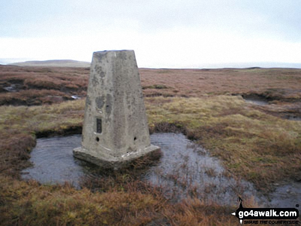
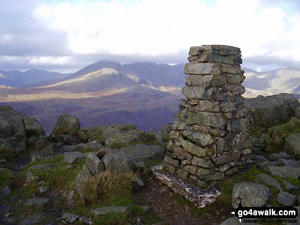
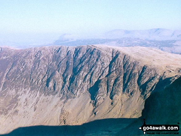
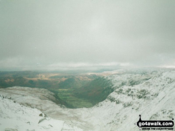
 The view from Scafell Pike in England


