Walk n151 Killhope Law and Carrshield Moor from Allenheads
This 12¾ mile, Grade 6 (Moderate), easy-to-follow, hand-crafted walk, complete with GPS Waypoints, starts at Allenheads & will take about 6½ hrs to complete.
   |
Vital Statistics:
| Length: | 12¾mls (20.5km) |
| Ascent: | 1,759ft (536m) |
| Time: | 6½hrs |
| Grade: |  |

Route outline for walk n151:
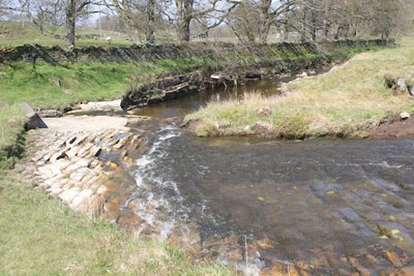
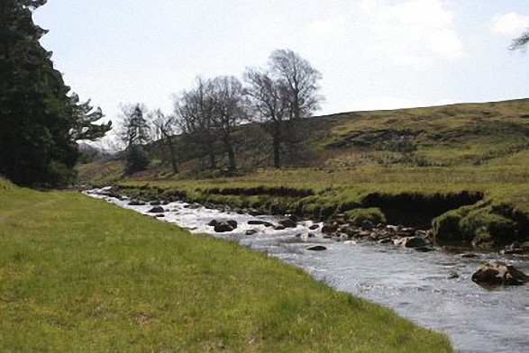
Allenheads - Dirt Pots - The Weardale Way - Killhope Law - Shivery Hill - Carshield Moor - Scum Hill - Hartley Moor - Nan Davison's Cleugh - Philipson's Fold - Knockshield Moor - Black Way (Track) - Swinhope Shield - High Knock Shield - Knock Shield - Knockburn Farm - River East Allen - Low Sipton Shield - Sipton Terrace - Teedham Green - Corn Mill - Low Huntwell - Dirt Pots - Allenheads
Peaks, Summits and Tops reached on this walk:
 1 English Mountain |
 0 Wainwrights |
 1 English Nuttall |
 0 English Deweys |
 0 Wainwright Outlying Fells |
 0 Marilyns |
 0 Bridgets |
Peak Bagging Statistics for this walk:
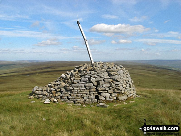
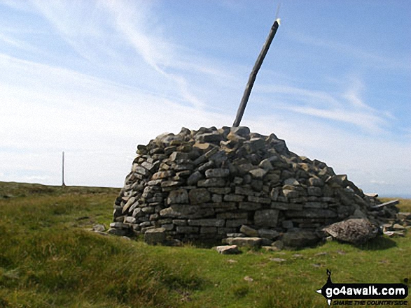
The highest point of this walk is Killhope Law at 673m (2208ft). Killhope Law is classified as an English Mountain (Hewitt) (123rd highest in England, 207th highest in England & Wales)
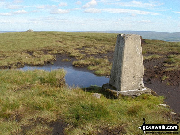
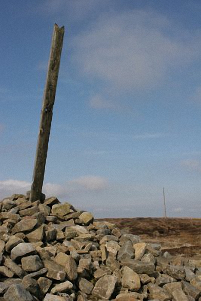
Killhope Law is also known as an English Nuttall (165th highest in England, 278th highest in England & Wales). The summit of Killhope Law is marked by an Ordnance Survey Trig Point.
National Trails & Long Paths included on this walk:
Part of this walk follows a section of The Weardale Way, a 117km (73 miles) linear footpath connecting Roker in Tyne and Wear, England with Wearhead in County Durham, England. The Weardale Way is waymarked by named posts. For more walks that include a section of this trail see The Weardale Way.
You can find this walk and other nearby walks on these unique Interactive Walk Planning Maps:
(worth a look if you're new to go4awalk.com & have never seen one of these before.)
1:25,000 scale OS Explorer Maps (orange/yellow covers):
1:50,000 scale OS Landranger Map (pink/magenta covers):
Some Photos and Pictures from Walk n151 Killhope Law and Carrshield Moor from Allenheads
In no particular order . . .


Send us your photographs and pictures from your walks and hikes
We would love to see your photographs and pictures from walk n151 Killhope Law and Carrshield Moor from Allenheads. Send them in to us as email attachments (configured for any computer) along with your name and where the picture was taken to:
and we shall do our best to publish them.
(Guide Resolution = 300dpi. At least = 660 pixels (wide) x 440 pixels (high).)

You can also submit photos from walk n151 Killhope Law and Carrshield Moor from Allenheads via our Facebook Page.
NB. Please indicate where each photo was taken.
To contribute to go4awalk.com or to contact us about anything at all - see Talk To Us.
For help see Help.
go4awalk.com and go4awalk.co.uk are registered trademarks of TMDH Limited.
Copyright © 2000-2026 TMDH Limited. All rights reserved.
Copyright Terms & Conditions Privacy Statement
A - Z Walks Home Log On/Accounts Photo Gallery Walk Ideas and Collections Fell Facts Hill Skills Walking Questions and Answers Your Stories News Competitions Product Reviews/Gear Tests Walking Gear Guides Peaks and Mountains Peak Bagging Find New Walking Friends Camping GPS Waypoints for Walking Contents Walk Search Talk To Us go4awalk.com Help Free Example Walks Newsletter


