All the Mountains, Peaks, Tops and Hills in The Dark Peak Area of The Peak District, Derbyshire, Greater Manchester, West Yorkshire and South Yorkshire, England as a detailed list
The Dark Peak Area of The Peak District National Park, Derbyshire, Greater Manchester, West Yorkshire and South Yorkshire is area within the National Park boundary north of the A6 from Hazel Grove to Chapel-en-le-Frith, the A623 to Sparrowpit, the minor road from Sparrowpit along Rushup Edge to Castleton and the A6187 from Castleton to Sheffield.
If you include all the Mountains (Hewitts), the Deweys, the Nuttalls, the Marilyns and the Bridgets (Hills) there are 58 tops to climb, bag & conquer and the highest point is Kinder Scout at 636m (2,087ft).
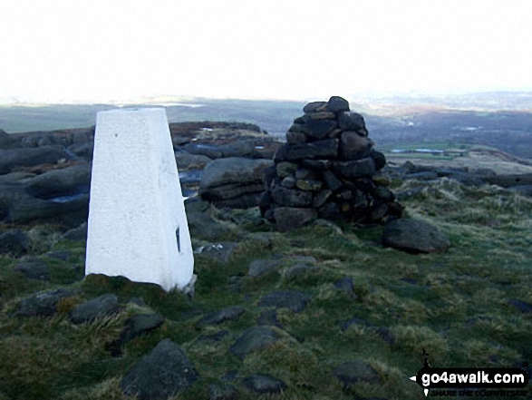
![]() Your Personal Bagging Record for The Dark Peak Area of The Peak District
Your Personal Bagging Record for The Dark Peak Area of The Peak District
When logged on, you can mark each Mountain, Peak, Top or Hill as 'bagged' by either:
- if you opt to display the tops in this area using a google map, click or tap on its symbol on the map below. This will open a text window. Click or tap on the 'Record [mountain name] as Bagged, Climbed & Conquered' link towards the bottom of the text window, or
- if you opt to display the tops in this area as a list, click or tap on the red 'not yet' symbol to the right of the name of each 'top'
Either method will open a new page where you can complete all your details such as:
- when you bagged the Mountain, Peak, Top or Hill;
- which route you took
- who you went with
- what the weather was like
- any other comment that will remind you of the day
Once you have completed your details and click or tap the submit button, you will automatically return to this page and the top you bagged will show with a green tick.
NB. None of the above fields are 'mandatory' - you can leave them blank if you wish.
NNB. You also have the option whether to display your peak bagging exploits to other users of this site or keep them private so only you can see them when you are logged on.
Furthermore, since you can also access your Personal Mountain & Hill Bagging Record via go4awalk Mobile you can quickly & easily record, edit and view your achievements - whether you are at home/work on your desktop computer or in the pub/at the top of a mountain with your Mobile Phone. (You can even download your Personal Mountain & Hill Bagging Record as a .csv file for importing into and saving with spreadsheet software like Excel or NeoOffice!)
This facility costs one credit to initially access your personal bagging record. Once accessed, all other interactions, such as recording other Mountains, Peaks, Tops and Hills as 'bagged' or altering an existing bagging record, are free.
Click REGISTER to register and purchase credits.
LOG ON and RELOAD this page to show which Mountains, Peaks, Tops and Hills you have already climbed, bagged & conquered. [ . . . remove this text]
Page 2 of 2 Go to page: 1 2 |
See this list in: Alphabetical Order
| Height Order‡
To reverse the order select the link again.
Mountain, Peak, Top or Hill:
Bagged

![]()
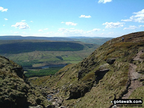
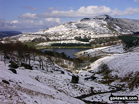
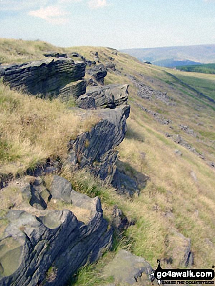
31. Westend Moor (Alport Moor)
503m (1,650ft)
Send it in and we'll publish it here.
Westend Moor (Alport Moor) is on interactive maps:
|

![]()
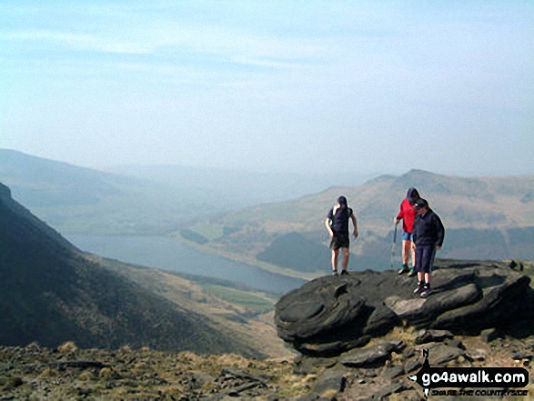
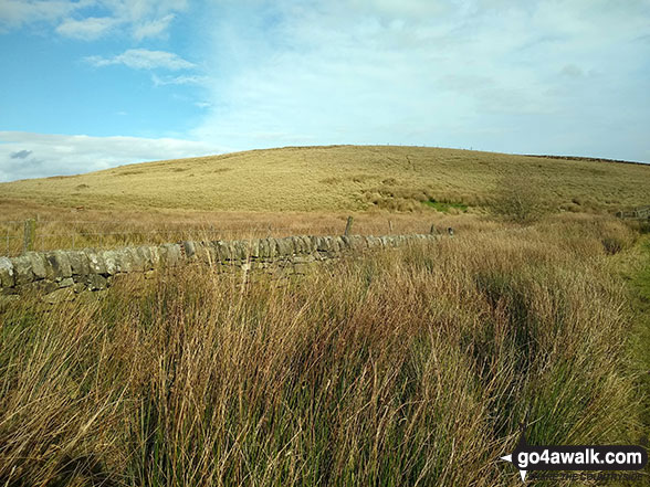
32. West Nab
500m (1,641ft)
West Nab is on interactive maps:
West Nab is on downloadable PDF you can Print or Save to your Phone: |
![]()
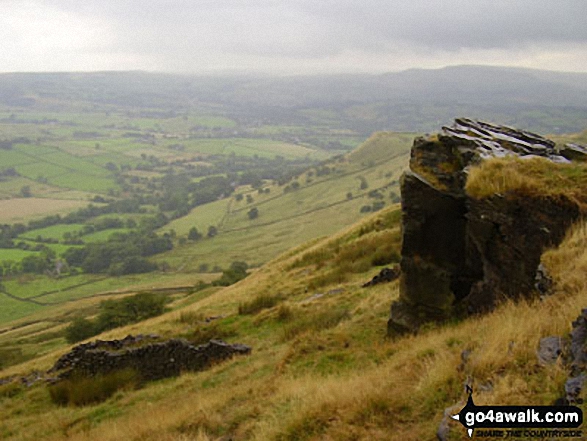
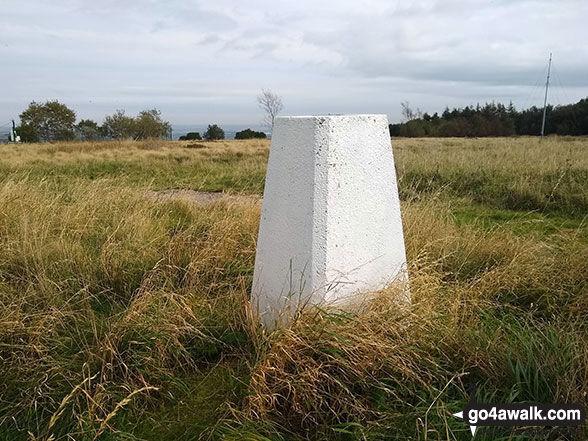
33. Dead Edge End
499m (1,637ft)
Dead Edge End is on interactive maps:
Dead Edge End is on downloadable PDF you can Print or Save to your Phone: |
![]()
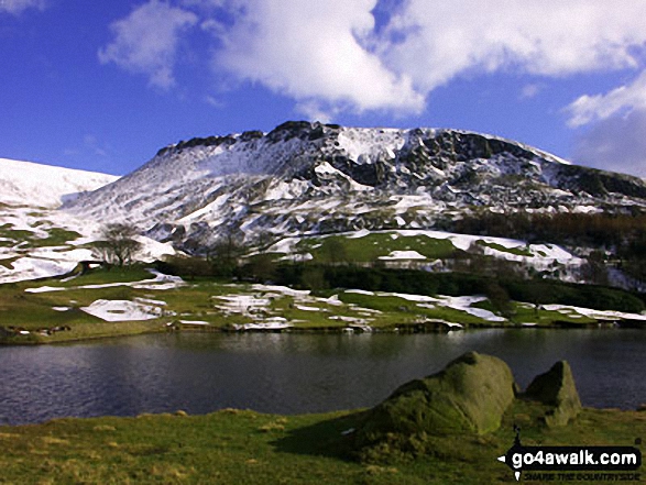
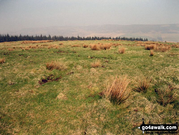
34. Stable Stones Brow (Hoarstone Edge)
495m (1,625ft)
Stable Stones Brow (Hoarstone Edge) is on interactive maps:
Stable Stones Brow (Hoarstone Edge) is on downloadable PDF you can Print or Save to your Phone: |
![]()
35. South Head (Hayfield)
494m (1,621ft)
South Head (Hayfield) is on interactive maps:
South Head (Hayfield) is on downloadable PDF you can Print or Save to your Phone: |
![]()
36. Millstone Rocks (Lad's Leap)
493m (1,618ft)
Millstone Rocks (Lad's Leap) is on interactive maps:
Millstone Rocks (Lad's Leap) is on downloadable PDF you can Print or Save to your Phone: |
![]()
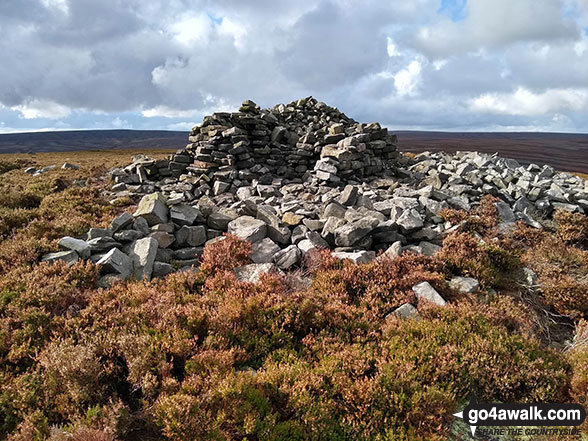
37. Pike Lowe
478m (1,569ft)
Pike Lowe is on interactive maps:
Pike Lowe is on downloadable PDF you can Print or Save to your Phone: |
![]()
38. Lose Hill (Ward's Piece)
476m (1,562ft)
Lose Hill (Ward's Piece) is on interactive maps:
Lose Hill (Ward's Piece) is on downloadable PDF you can Print or Save to your Phone: |
![]()
39. Snailsden
475m (1,559ft)
Snailsden is on interactive maps:
Snailsden is on downloadable PDF you can Print or Save to your Phone: |

![]()
40. Mount Famine
473m (1,552ft)
Mount Famine is on interactive maps:
Mount Famine is on downloadable PDF you can Print or Save to your Phone: |
![]()
41. Alphin Pike
469m (1,539ft)
Alphin Pike is on interactive maps:
Alphin Pike is on downloadable PDF you can Print or Save to your Phone: |
![]()
42. Winhill Pike (Win Hill)
462m (1,516ft)
Winhill Pike (Win Hill) is on interactive maps:
Winhill Pike (Win Hill) is on downloadable PDF you can Print or Save to your Phone: |
![]()
43. High Neb (Stanage Edge)
458m (1,503ft)
High Neb (Stanage Edge) is on interactive maps:
High Neb (Stanage Edge) is on downloadable PDF you can Print or Save to your Phone: |
![]()
44. Stanage Edge (Stanage Edge)
457m (1,500ft)
Stanage Edge (Stanage Edge) is on interactive maps:
Stanage Edge (Stanage Edge) is on downloadable PDF you can Print or Save to your Phone: |
![]()
45. Dick Hill
453m (1,487ft)
Dick Hill is on interactive maps:
Dick Hill is on downloadable PDF you can Print or Save to your Phone: |
![]()
46. Ashway Rocks
452m (1,483ft)
Ashway Rocks is on interactive maps:
Ashway Rocks is on downloadable PDF you can Print or Save to your Phone: |
![]()
47. Chinley Churn
451m (1,480ft)
Chinley Churn is on interactive maps:
|
![]()
48. Great Dove Stone Rocks
450m (1,477ft)
Great Dove Stone Rocks is on interactive maps:
Great Dove Stone Rocks is on downloadable PDF you can Print or Save to your Phone: |
![]()
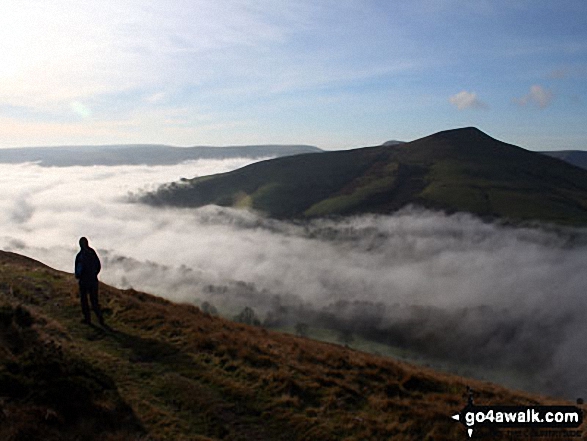
49. Back Tor (Hollins Cross)
438m (1,438ft)
Back Tor (Hollins Cross) is on interactive maps:
Back Tor (Hollins Cross) is on downloadable PDF you can Print or Save to your Phone: |
![]()
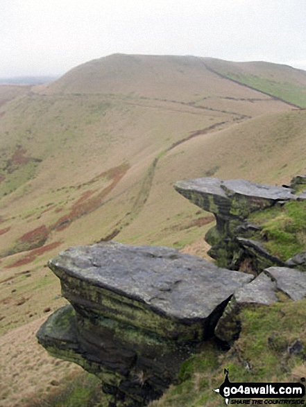
50. Higger Tor
434m (1,424ft)
Higger Tor is on interactive maps:
Higger Tor is on downloadable PDF you can Print or Save to your Phone: |
![]()
51. Burbage Rocks
429m (1,408ft)
Burbage Rocks is on interactive maps:
Burbage Rocks is on downloadable PDF you can Print or Save to your Phone: |
![]()
52. Bamford Moor
426m (1,398ft)
Bamford Moor is on interactive maps:
Bamford Moor is on downloadable PDF you can Print or Save to your Phone: |
![]()
53. Cown Edge Rocks
410m (1,345ft)
Cown Edge Rocks is on interactive maps:
Cown Edge Rocks is on downloadable PDF you can Print or Save to your Phone: |
![]()
54. Lodge Moor (Ughill Moors)
409m (1,342ft)
Lodge Moor (Ughill Moors) is on interactive maps:
Lodge Moor (Ughill Moors) is on downloadable PDF you can Print or Save to your Phone: |
![]()
55. Onesmoor (Kirk Edge)
395m (1,296ft)
Onesmoor (Kirk Edge) is on interactive maps:
Onesmoor (Kirk Edge) is on downloadable PDF you can Print or Save to your Phone: |
![]()
56. Bridge-end Pasture
392m (1,287ft)
Bridge-end Pasture is on interactive maps:
Bridge-end Pasture is on downloadable PDF you can Print or Save to your Phone: |
![]()
57. Crook Hill (Ladybower)
382m (1,254ft)
Crook Hill (Ladybower) is on interactive maps:
Crook Hill (Ladybower) is on downloadable PDF you can Print or Save to your Phone: |
![]()
58. Lantern Pike
373m (1,224ft)
Lantern Pike is on interactive maps:
Lantern Pike is on downloadable PDF you can Print or Save to your Phone: |
Page 2 of 2 Go to page: 1 2 |
# Whether you print a copy or download it to your phone, this Peak Baggers' Map will prove incredibly useful if you want to know what's what when you are up in the mountains and cannot get a phone signal
Is there a Mountain, Peak, Top or Hill missing from the above google map or list?
Let us know an we will add it to our database.

To contribute to go4awalk.com or to contact us about anything at all - see Talk To Us.
For help see Help.
go4awalk.com and go4awalk.co.uk are registered trademarks of TMDH Limited.
Copyright © 2000-2025 TMDH Limited. All rights reserved.
Copyright Terms & Conditions Privacy Statement
A - Z Walks Home Log On/Accounts Photo Gallery Walk Ideas and Collections Fell Facts Hill Skills Walking Questions and Answers Your Stories News Competitions Product Reviews/Gear Tests Walking Gear Guides Peaks and Mountains Peak Bagging Find New Walking Friends Camping GPS Waypoints for Walking Contents Walk Search Talk To Us go4awalk.com Help Free Example Walks Newsletter


