   |
Vital Statistics:
| Length: | 8¾mls (14km) |
| Ascent: | 1,316ft (401m) |
| Time: | 4½hrs |
| Grade: |  |
Route outline for walk wy106:
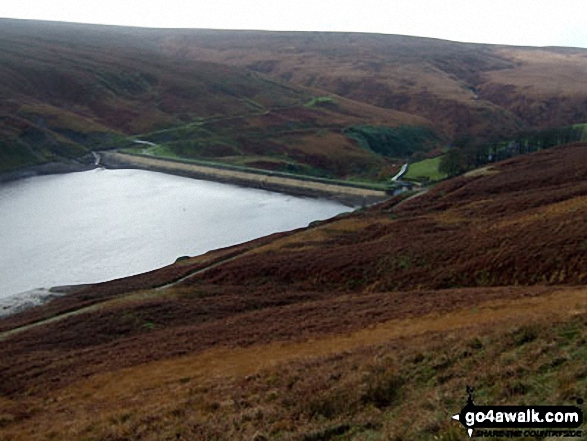
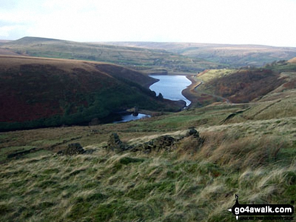
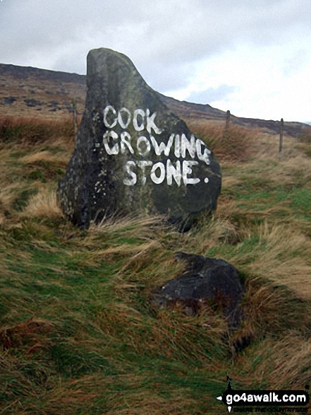
Meltham - Royd Edge - Meltham Moor - Cock Crowing Stone - West Nab - Hey Sike Clough - Horseley Head Moss - Wessenden - Binn Moor - Deer Hill Reservoir - Meltham
Peaks, Summits and Tops reached on this walk:
 0 English Mountains |
 0 Wainwrights |
 0 English Nuttalls |
 1 English Dewey |
 0 Wainwright Outlying Fells |
 0 Marilyns |
 0 Bridgets |
Peak Bagging Statistics for this walk:
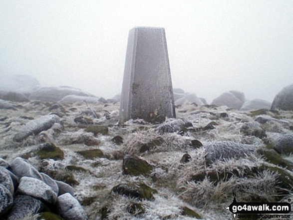
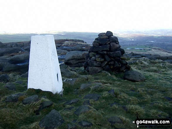
The highest point of this walk is West Nab at 500m (1641ft). West Nab is also known as an English Dewey (180th highest in England, 420th in England & Wales) The summit of West Nab is marked by an Ordnance Survey Trig Point.
You can find this walk and other nearby walks on these unique free-to-access Interactive Walk Planning Maps:
1:25,000 scale OS Explorer Maps (orange/yellow covers):
1:50,000 scale OS Landranger Map (pink/magenta covers):
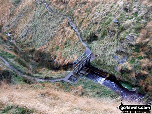
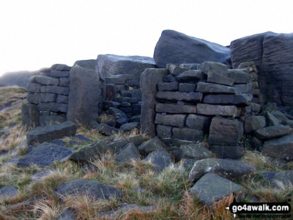
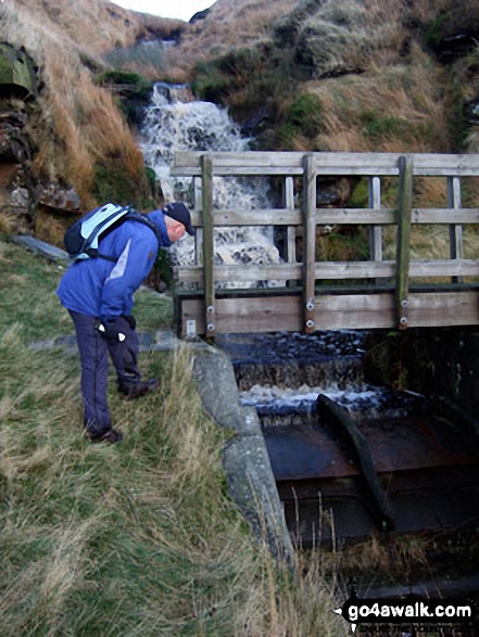
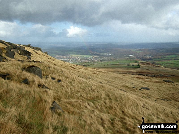
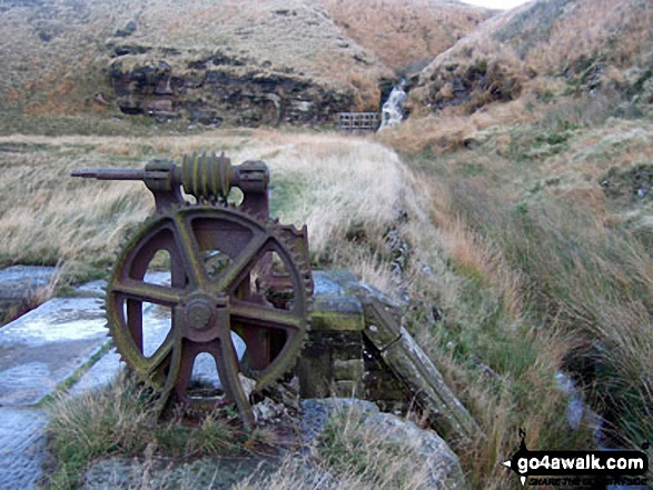
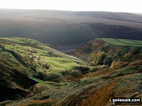
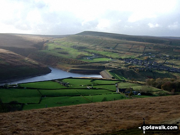
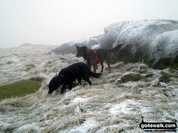
Some Photos and Pictures from Walk wy106 West Nab and Horseley Head Moss from Meltham
In no particular order . . .
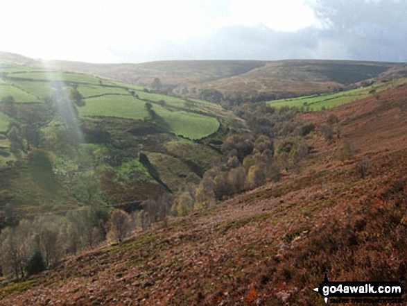
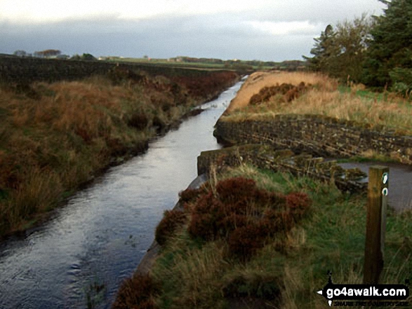
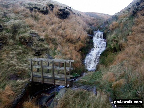
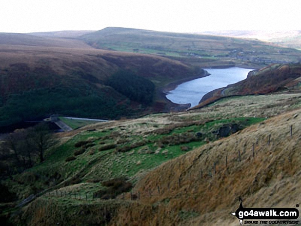
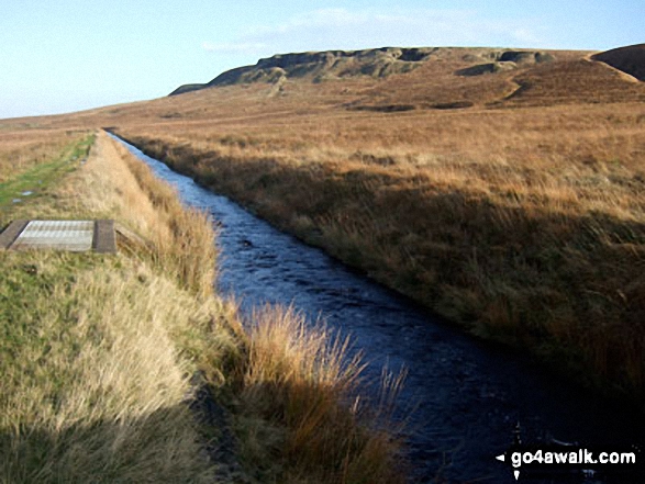
The (now suddenly full) Drainwater Ditch on Binn Moor with Shooters Nab beyond
Send us your photographs and pictures from your walks and hikes
We would love to see your photographs and pictures from walk wy106 West Nab and Horseley Head Moss from Meltham. Send them in to us as email attachments (configured for any computer) along with your name and where the picture was taken to:
and we shall do our best to publish them.
(Guide Resolution = 300dpi. At least = 660 pixels (wide) x 440 pixels (high).)

You can also submit photos from walk wy106 West Nab and Horseley Head Moss from Meltham via our Facebook Page.
NB. Please indicate where each photo was taken.


