The North West region of England - a fully detailed list of all the Mountains, Peaks, Tops and Hills (Page 8 of 16)
The North West region of England comprises the traditional counties of Cheshire, Cumbria, Greater Manchester, Lancashire and Mersyside and includes The Lake District National Park, The Forest of Bowland, parts of The Yorkshire Dales National Park and parts of the Peak District National Park.
If you include all the Mountains (Hewitts), the Deweys, the Nuttalls, the Marilyns, the Bridgets (Hills) and all the Mountains, Tops, Peaks and Hills with a Trig Point on them there are 464 tops to climb, bag & conquer and the highest point is Scafell Pike at 978m (3,210ft).
To see these Mountains, Peaks, Tops and Hills displayed in different ways - see the options in the left-hand column and towards the bottom of this page.
![]() Your Personal Bagging Record for North West
Your Personal Bagging Record for North West
LOG ON and RELOAD this page to show which Mountains, Peaks, Tops and Hills you have already climbed, bagged & conquered [. . . more details]
See this list in: Alphabetical Order
| Height Order‡
To reverse the order select the link again.
Mountain, Peak, Top or Hill:
Bagged

![]()
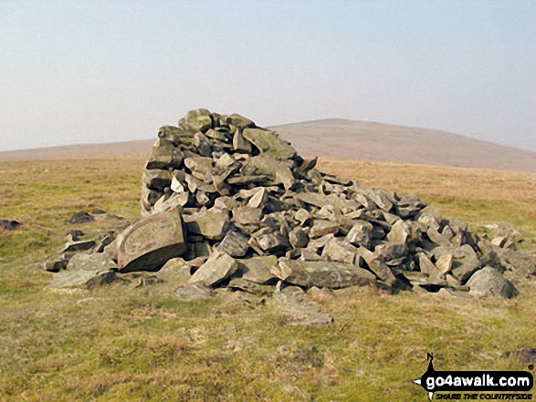
211. Hartsop Dodd
619m (2,031ft)
Hartsop Dodd is on interactive maps:
Hartsop Dodd is on downloadable PDF you can Print or Save to your Phone: *Version including the walk routes marked on it that you need to follow to Walk all 214 Wainwrights in just 59 walks. |

![]()
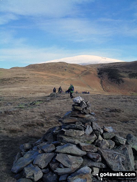
212. Yewbarrow (North Top)
616m (2,023ft)
Yewbarrow (North Top) is on interactive maps:
Yewbarrow (North Top) is on downloadable PDF you can Print or Save to your Phone: *Version including the walk routes marked on it that you need to follow to Walk all 214 Wainwrights in just 59 walks. |
![]()
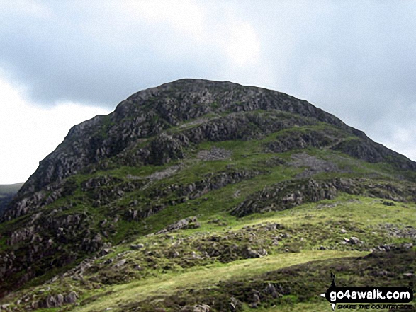
213. Great Lingy Hill
616m (2,022ft)
Great Lingy Hill is on interactive maps:
Great Lingy Hill is on downloadable PDF you can Print or Save to your Phone: *Version including the walk routes marked on it that you need to follow to Walk all 214 Wainwrights in just 59 walks. |

![]()
214. Great Borne
616m (2,021ft)
Great Borne is on interactive maps:
Great Borne is on downloadable PDF you can Print or Save to your Phone: *Version including the walk routes marked on it that you need to follow to Walk all 214 Wainwrights in just 59 walks. |
![]()
215. Flinty Fell
614m (2,016ft)
Flinty Fell is on interactive maps:
Flinty Fell is on downloadable PDF you can Print or Save to your Phone: |
![]()
216. White Maiden
612m (2,010ft)
White Maiden is on interactive maps:
A downloadable go4awalk.com PDF Peak Bagging Map featuring White Maiden will be available soon. |
![]()
217. Heron Pike
612m (2,008ft)
Heron Pike is on interactive maps:
Heron Pike is on downloadable PDF you can Print or Save to your Phone: *Version including the walk routes marked on it that you need to follow to Walk all 214 Wainwrights in just 59 walks. |
![]()
218. Rosthwaite Cam (Rosthwaite Fell)
612m (2,008ft)
Rosthwaite Cam (Rosthwaite Fell) is on interactive maps:
Rosthwaite Cam (Rosthwaite Fell) is on downloadable PDF you can Print or Save to your Phone: *Version including the walk routes marked on it that you need to follow to Walk all 214 Wainwrights in just 59 walks. |
![]()
219. Bullman Hills
610m (2,001ft)
Bullman Hills is on interactive maps:
Bullman Hills is on downloadable PDF you can Print or Save to your Phone: |
![]()
220. Miller Moss
610m (2,001ft)
Miller Moss is on interactive maps:
Miller Moss is on downloadable PDF you can Print or Save to your Phone: *Version including the walk routes marked on it that you need to follow to Walk all 214 Wainwrights in just 59 walks. |

![]()
221. Calf Top
609m (2,000ft)
Calf Top is on interactive maps:
Calf Top is on downloadable PDF you can Print or Save to your Phone: |
![]()
222. Renwick Fell (Thack Moor)
609m (2,000ft)
Renwick Fell (Thack Moor) is on interactive maps:
Renwick Fell (Thack Moor) is on downloadable PDF you can Print or Save to your Phone: |

![]()
223. Benty Hill
609m (1,998ft)
Benty Hill is on interactive maps:
Benty Hill is on downloadable PDF you can Print or Save to your Phone: |

![]()
224. Illgill Head
609m (1,997ft)
Illgill Head is on interactive maps:
Illgill Head is on downloadable PDF you can Print or Save to your Phone: *Version including the walk routes marked on it that you need to follow to Walk all 214 Wainwrights in just 59 walks. |

![]()
225. High Seat (Ashness Fell)
608m (1,995ft)
High Seat (Ashness Fell) is on interactive maps:
High Seat (Ashness Fell) is on downloadable PDF you can Print or Save to your Phone: *Version including the walk routes marked on it that you need to follow to Walk all 214 Wainwrights in just 59 walks. |

![]()
226. Arant Haw
605m (1,985ft)
Arant Haw is on interactive maps:
Arant Haw is on downloadable PDF you can Print or Save to your Phone: |
![]()
227. Green Bell
605m (1,985ft)
Green Bell is on interactive maps:
Green Bell is on downloadable PDF you can Print or Save to your Phone: |
![]()
228. Watch Hill (Graystone Edge)
602m (1,975ft)
Watch Hill (Graystone Edge) is on interactive maps:
Watch Hill (Graystone Edge) is on downloadable PDF you can Print or Save to your Phone: |

![]()
229. Black Combe
600m (1,969ft)
Black Combe is on interactive maps:
A downloadable go4awalk.com PDF Peak Bagging Map featuring Black Combe will be available soon. |
![]()
230. Brownber Head
600m (1,969ft)
Brownber Head is on interactive maps:
Brownber Head is on downloadable PDF you can Print or Save to your Phone: |
![]()
231. Hay Stacks (Haystacks)
597m (1,959ft)
Hay Stacks (Haystacks) is on interactive maps:
Hay Stacks (Haystacks) is on downloadable PDF you can Print or Save to your Phone: *Version including the walk routes marked on it that you need to follow to Walk all 214 Wainwrights in just 59 walks. |

![]()
232. Staneshaw Rigg
596m (1,956ft)
Staneshaw Rigg is on interactive maps:
|
![]()
233. Murton Pike
594m (1,950ft)
Murton Pike is on interactive maps:
Murton Pike is on downloadable PDF you can Print or Save to your Phone: |
![]()
234. Roman Fell
594m (1,950ft)
Roman Fell is on interactive maps:
Roman Fell is on downloadable PDF you can Print or Save to your Phone: |
![]()
235. St Raven's Edge
593m (1,946ft)
St Raven's Edge is on interactive maps:
St Raven's Edge is on downloadable PDF you can Print or Save to your Phone: *Version including the walk routes marked on it that you need to follow to Walk all 214 Wainwrights in just 59 walks. |
![]()
236. Blotting Raise (Croglin Fell)
591m (1,940ft)
Send it in and we'll publish it here.
Blotting Raise (Croglin Fell) is on interactive maps:
Blotting Raise (Croglin Fell) is on downloadable PDF you can Print or Save to your Phone: |
![]()
237. Bleaberry Fell
590m (1,936ft)
Bleaberry Fell is on interactive maps:
Bleaberry Fell is on downloadable PDF you can Print or Save to your Phone: *Version including the walk routes marked on it that you need to follow to Walk all 214 Wainwrights in just 59 walks. |
![]()
238. Little Dodd (Ennerdale)
590m (1,936ft)
Little Dodd (Ennerdale) is on interactive maps:
|
![]()
239. Black Crags (Langdale)
588m (1,929ft)
Black Crags (Langdale) is on interactive maps:
Black Crags (Langdale) is on downloadable PDF you can Print or Save to your Phone: *Version including the walk routes marked on it that you need to follow to Walk all 214 Wainwrights in just 59 walks. |
![]()
240. Simon's Seat (Howgills)
587m (1,926ft)
Simon's Seat (Howgills) is on interactive maps:
Simon's Seat (Howgills) is on downloadable PDF you can Print or Save to your Phone: |
View these 464 Mountains, Peaks, Tops and Hills:
- On an Interactive Google Map (loads faster)
- On an Interactive Google Map with a list of tops below it.
(makes it easier to locate a particular top) - On a Detailed List in:
Alphabetical Order | Height Order - On one page with 'yet-to-be-bagged' listed 1st & then 'already-bagged' tops listed 2nd in:
Alphabetical Order | Height Order - On one page with 'already-bagged' tops listed 1st & then 'yet-to-be-bagged' tops listed 2nd in:
Alphabetical Order | Height Order
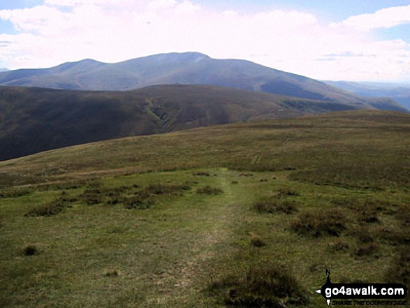
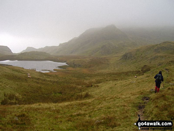
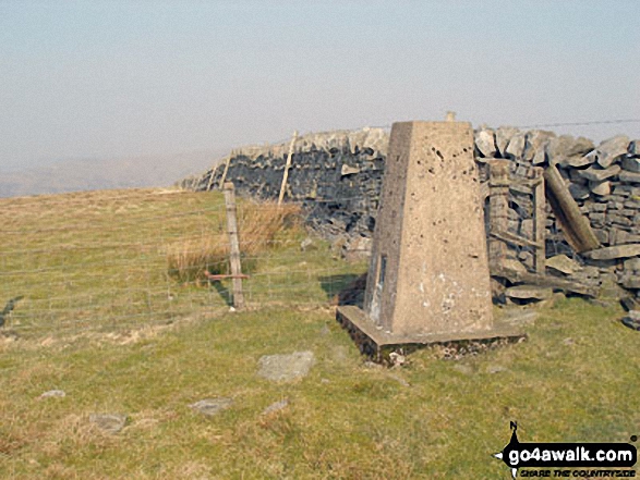
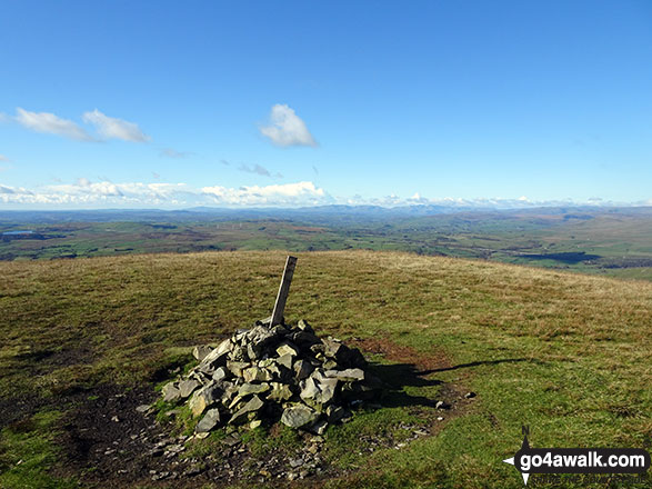
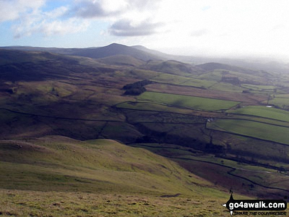
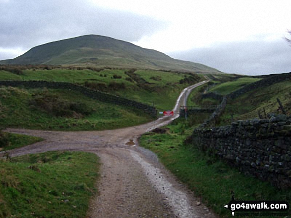
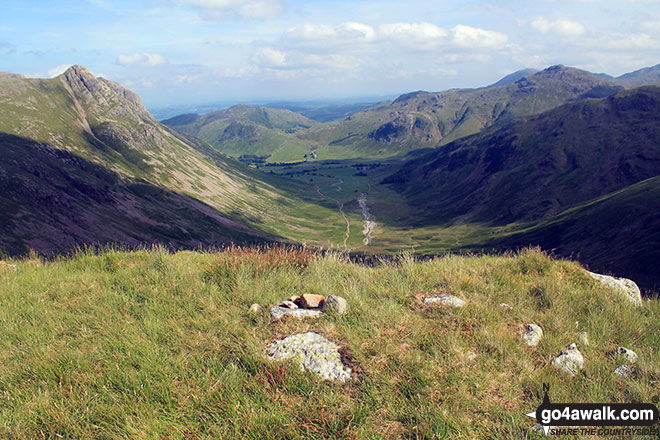
 The view from Scafell Pike in The Howgill Fells Area area of The Yorkshire Dales
Photo: David Cochrane
Is there a Mountain, Peak, Top or Hill missing from the above google map or list?
Let us know an we will add it to our database.

To contribute to go4awalk.com or to contact us about anything at all - see Talk To Us.
For help see Help.
go4awalk.com and go4awalk.co.uk are registered trademarks of TMDH Limited.
Copyright © 2000-2025 TMDH Limited. All rights reserved.
Copyright Terms & Conditions Privacy Statement
A - Z Walks Home Log On/Accounts Photo Gallery Walk Ideas and Collections Fell Facts Hill Skills Walking Questions and Answers Your Stories News Competitions Product Reviews/Gear Tests Walking Gear Guides Peaks and Mountains Peak Bagging Find New Walking Friends Camping GPS Waypoints for Walking Contents Walk Search Talk To Us go4awalk.com Help Free Example Walks Newsletter


