   |
Vital Statistics:
| Length: | 4mls (6.5km) |
| Ascent: | 1,293ft (394m) |
| Time: | 2¾hrs |
| Grade: |  |
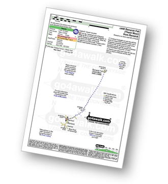
Route outline for walk c448:
Renwick - Townend - Renwick Fell (Thack Moor) - Townfoot - Renwick
Peaks, Summits and Tops reached on this walk:
 1 English Mountain |
 0 Wainwrights |
 1 English Nuttall |
 0 English Deweys |
 0 Wainwright Outlying Fells |
 0 Marilyns |
 0 Bridgets |
Peak Bagging Statistics for this walk:
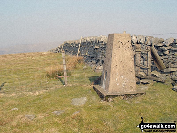
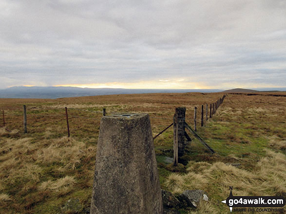
The highest point of this walk is Renwick Fell (Thack Moor) at 609m (2000ft). Renwick Fell (Thack Moor) is classified as an English Mountain (Hewitt) (179th highest in England, 316th highest in England & Wales)
Renwick Fell (Thack Moor) is also known as an English Nuttall (254th highest in England, 443rd highest in England & Wales). The summit of Renwick Fell (Thack Moor) is marked by an Ordnance Survey Trig Point. Renwick Fell (Thack Moor) was reclassified from a 'Dewey' to a Mountain (Hewitt) and 'Nuttall' in April 2013. Formerly thought to be fractionally under the 609.6m (2000ft) required for mountain status, the Ordnance Survey has confirmed the height to be 609.62m (2000ft and 3/4 inch).
You can find this walk and other nearby walks on these unique free-to-access Interactive Walk Planning Maps:
1:25,000 scale OS Explorer Map (orange/yellow covers):
1:50,000 scale OS Landranger Map (pink/magenta covers):
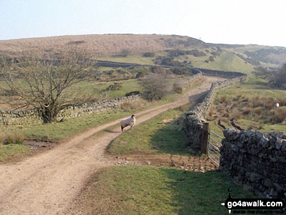
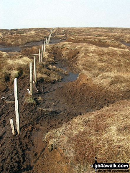
Some Photos and Pictures from Walk c448 Renwick Fell (Thack Moor) from Renwick
In no particular order . . .
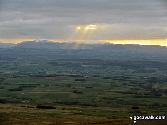
Sun and snow on Skiddaw and Blencathra from Black Fell (Haresceugh Fell)
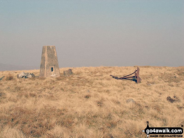
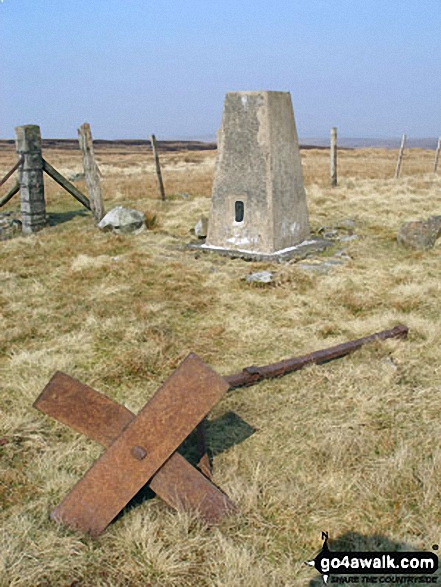
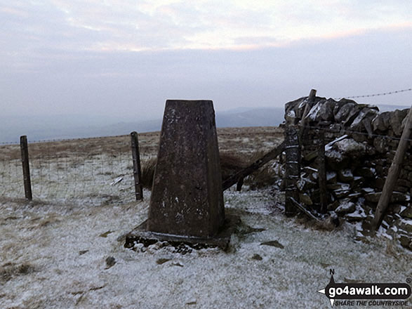
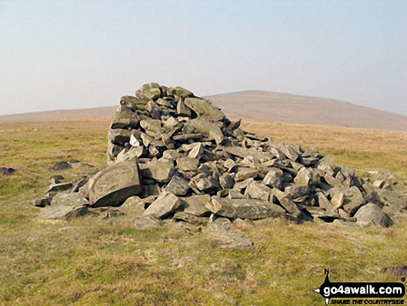
Renwick Fell (Thack Moor) summit Trig Point under a light dusting of snow
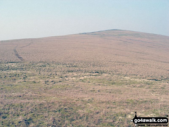
Currick near the summit of Watch Hill (Graystone Edge) with Renwick Fell (Thack Moor) in the background
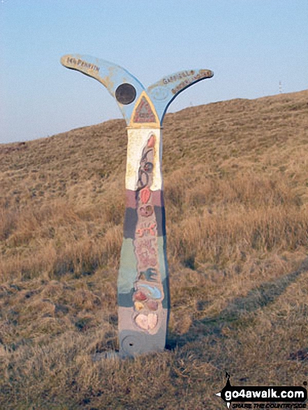
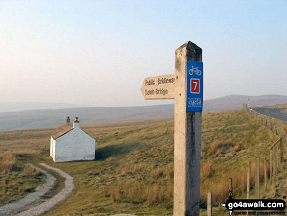
Waypoint marker for the c2c (coast to coast) cycle route near Hartside Top Cafe
Send us your photographs and pictures from your walks and hikes
We would love to see your photographs and pictures from walk c448 Renwick Fell (Thack Moor) from Renwick. Send them in to us as email attachments (configured for any computer) along with your name and where the picture was taken to:
and we shall do our best to publish them.
(Guide Resolution = 300dpi. At least = 660 pixels (wide) x 440 pixels (high).)

You can also submit photos from walk c448 Renwick Fell (Thack Moor) from Renwick via our Facebook Page.
NB. Please indicate where each photo was taken.


