   |
Vital Statistics:
| Length: | 11¼mls (18km) |
| Ascent: | 5,100ft (1,554m) |
| Time: | 9¼hrs |
| Grade: |  |
Route outline for walk c133:
Greendale Farm - Middle Fell (Wasdale) - Seatallan - Pots of Ashness - Gowder Crag - Haycock - Great Scoat Fell - Steeple - Scoat Fell (Little Scoat Fell) - Red Pike (Wasdale) - Dore Head - Yewbarrow (North Top) - Yewbarrow - Bell Rib - Dropping Crag - Overbeck Bridge - Wast Water - Greendale Farm
Peaks, Summits and Tops reached on this walk:
 6 English Mountains |
 7 Wainwrights |
 7 English Nuttalls |
 1 English Dewey |
 0 Wainwright Outlying Fells |
 1 Marilyn |
 0 Bridgets |
Peak Bagging Statistics for this walk:
The highest point of this walk is Scoat Fell (Little Scoat Fell) at 841m (2759ft). Scoat Fell (Little Scoat Fell) is classified as an English Mountain (Hewitt) (28th highest in England, 54th highest in England & Wales) and a Wainwright (No. 23).
Scoat Fell (Little Scoat Fell) is also known as an English Nuttall (34th highest in England, 62nd highest in England & Wales).
Completing this walk will also take you to the top of Red Pike (Wasdale) at 826m (2711ft). Red Pike (Wasdale) is classified as an English Mountain (Hewitt) (33rd highest in England, 63rd highest in England & Wales) and a Wainwright (No. 26).
Red Pike (Wasdale) is also known as an English Nuttall (39th highest in England, 73rd highest in England & Wales).
You will also reach the summit of Steeple at 819m (2688ft). Steeple is classified as an Wainwright (No. 28).
Steeple is also known as an English Nuttall (41st highest in England, 77th highest in England & Wales).
Along the way you will also bag:
- Haycock at 797m (2616ft). Haycock is classified as an English Mountain (Hewitt) (44th highest in England, 81st highest in England & Wales), a Wainwright (No. 36) and an English Nuttall (51st highest in England, 97th highest in England & Wales).
- Seatallan at 692m (2271ft). Seatallan is classified as an English Mountain (Hewitt) (109th England, 180th highest in England & Wales), a Wainwright (No. 94), an English Nuttall (143rd highest in England, 234th highest in England & Wales) and an English Marilyn (34th England, 611th highest in the UK). The summit of Seatallan is marked by an Ordnance Survey Trig Point.
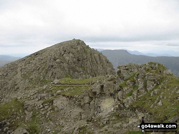
- Yewbarrow at 628m (2062ft). Yewbarrow is classified as an English Mountain (Hewitt) (161st highest in England, 279th highest in England & Wales), a Wainwright (No. 124) and an English Nuttall (216th highest in England, 378th highest in England & Wales).
- Yewbarrow (North Top) at 616m (2023ft). Yewbarrow (North Top) is classified as an English Mountain (Hewitt) (170th England, 298th Eng & Wal) and an English Nuttall (238th highest in England, 414th highest in England & Wales).
- Middle Fell (Wasdale) at 582m (1910ft). Middle Fell (Wasdale) is classified as a Wainwright (No. 135) and an English Dewey (27th highest in England, 65th highest in England & Wales)
You can find this walk and other nearby walks on these unique free-to-access Interactive Walk Planning Maps:
1:25,000 scale OS Explorer Maps (orange/yellow covers):
1:50,000 scale OS Landranger Map (pink/magenta covers):
Some Photos and Pictures from Walk c133 The Netherbeck Round from Greendale
In no particular order . . .
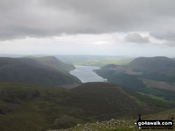
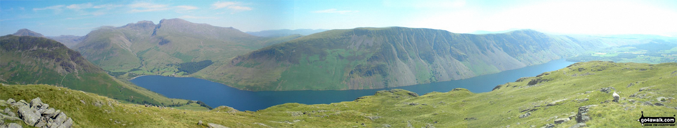
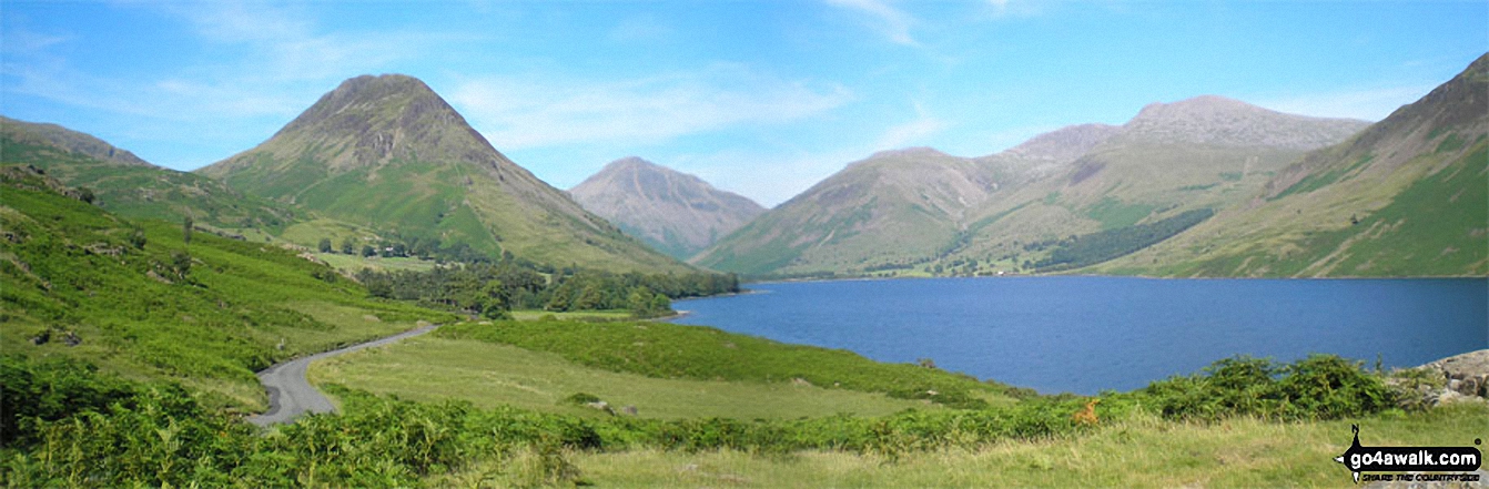
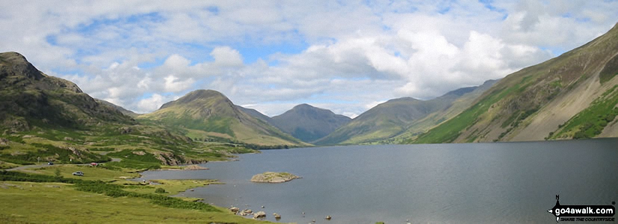
Yewbarrow (left), Great Gable (centre in cloud), Lingmell and the shoulder or Scafell Pike (right) from across Wast Water
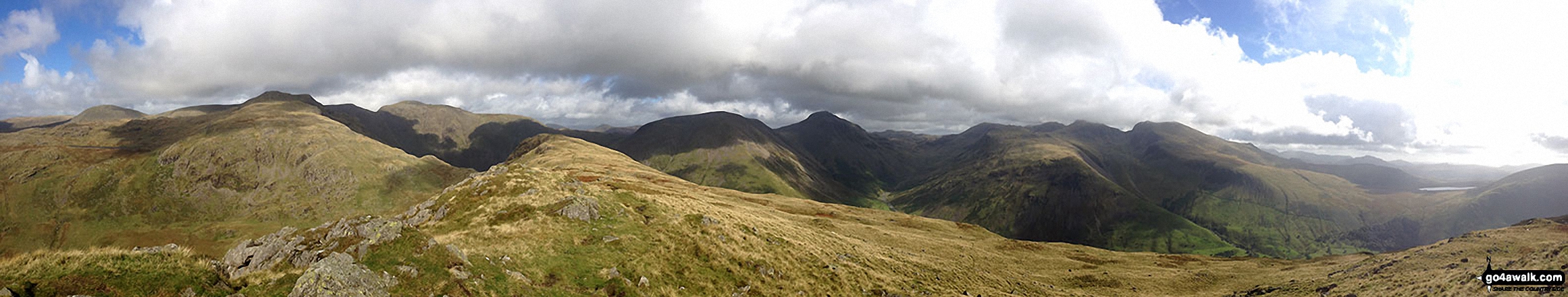
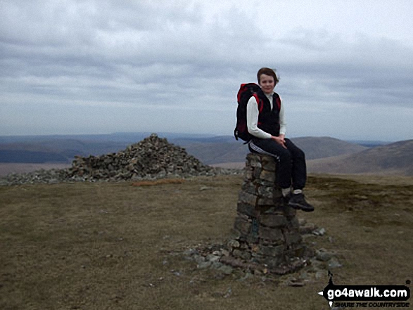
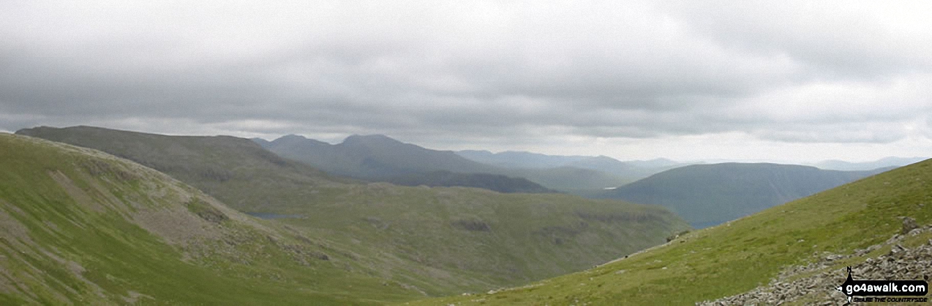
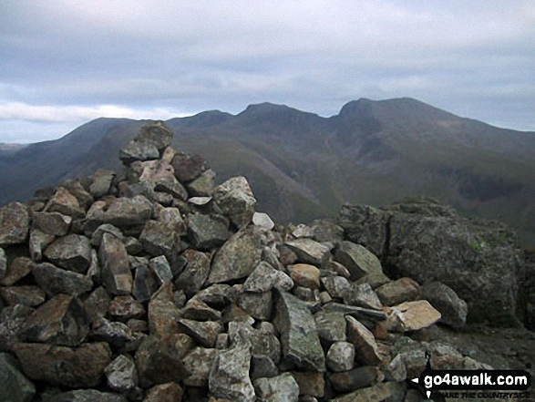
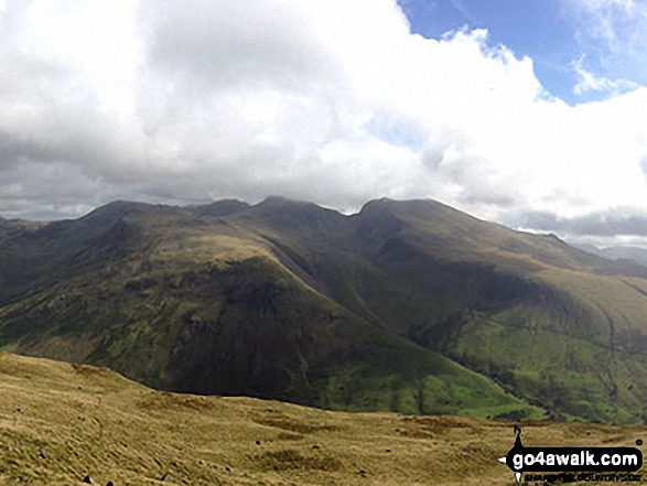
Haycock, Little Scoat Fell, Red Pike (Wasdale), Pillar, Top of Stirrup Crag, Kirk Fell, Great Gable, Great End, Lingmell, Scafell Pike, Sca Fell, Slightside, Harter Fell (Eskdale) and Burnmoor Tarn from the summit of Yewbarrow
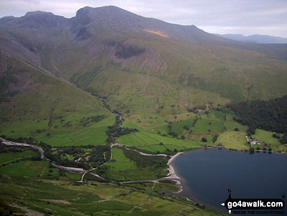
Wasdale Head featuring Yewbarrow (left), the shoulder of Kirk Fell, Great Gable (centre) and Lingmell (right) from across Wast Water
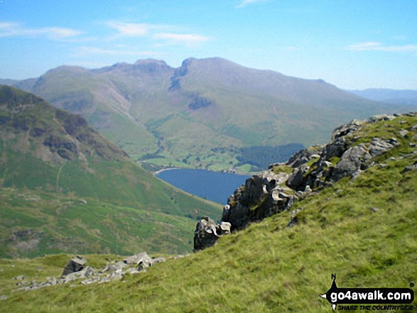
Yewbarrow, Wasdale Head, Wast Water, Lingmell, Scafell Pike, Mickledore and Sca Fell, Illgill Head and Whin Rigg from below Middle Fell (Wasdale)
Wasdale Head featuring Yewbarrow (left), Great Gable (centre), Lingmell (right) and the lower slopes of Scafell Pike (right) from across Wast Water
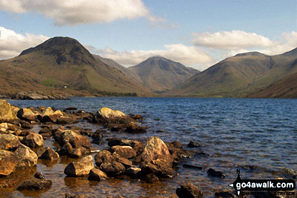
Yewbarrow, Great Gable, Lingmell, Scafell Pike and Sca Fell from Wast Water
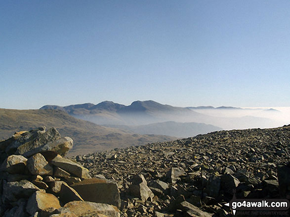
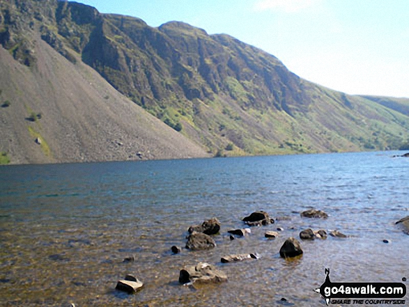
*Kirk Fell (left), Great Gable (centre) Lingmell, Scafell Pike (partially hidden) and Illgill Head across Wast Water
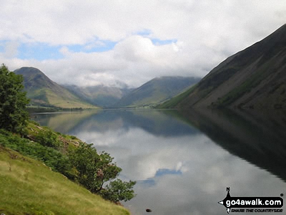
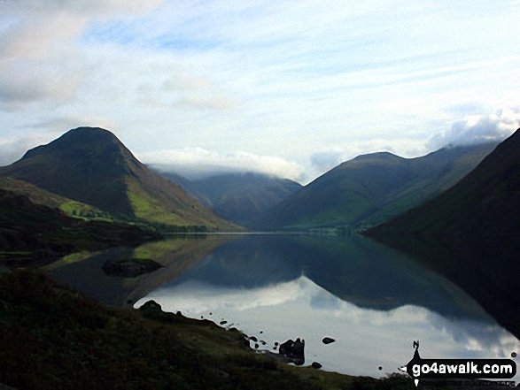
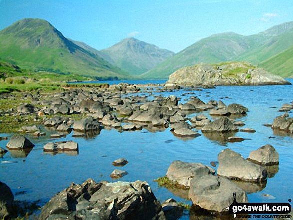
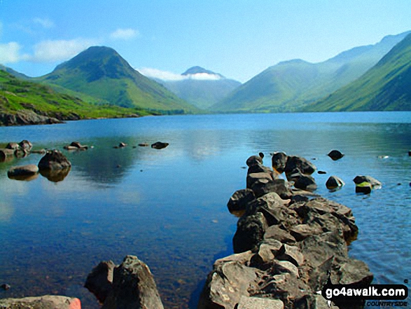
Yewbarrow (left), Great Gable (in cloud centre), Lingmell (centre right) and the Wast Water screes (right) reflected in Wast Water
Lingmell, Scafell Pike, Mickledore and Sca Fell above Wast Water from near Middle Fell (Wasdale)
Kirk Fell (left), Great Gable (centre) and Lingmell from across Wast Water
Great End, Lingmell, Scafell Pike, Sca Fell and Slightside from the summit of Yewbarrow
. . . load all 83 walk photos from Walk c133 The Netherbeck Round from Greendale
Send us your photographs and pictures from your walks and hikes
We would love to see your photographs and pictures from walk c133 The Netherbeck Round from Greendale. Send them in to us as email attachments (configured for any computer) along with your name and where the picture was taken to:
and we shall do our best to publish them.
(Guide Resolution = 300dpi. At least = 660 pixels (wide) x 440 pixels (high).)

You can also submit photos from walk c133 The Netherbeck Round from Greendale via our Facebook Page.
NB. Please indicate where each photo was taken.


