   |
Vital Statistics:
| Length: | 8¾mls (14km) |
| Ascent: | 2,347ft (715m) |
| Time: | 5½hrs |
| Grade: |  |
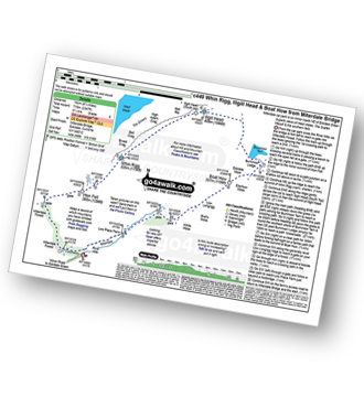
Route outline for walk c440:
Miterdale Bridge - Porterthwaite - Miterdale Forest - Irton Fell - Greathall Gill - Whin Rigg - Illgill Head - Burnmoor Tarn - Burnmoor Lodge - Eskdale Moor - Ellerhow Moss - Boat How - Low Longrigg - River Mite - Low Place Farm - Miterdale Bridge
Peaks, Summits and Tops reached on this walk:
 0 English Mountains |
 2 Wainwrights |
 0 English Nuttalls |
 2 English Deweys |
 1 Wainwright Outlying Fells |
 1 Marilyn |
 0 Bridgets |
Peak Bagging Statistics for this walk:
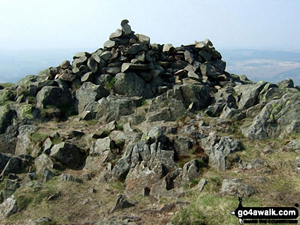
The highest point of this walk is Illgill Head at 609m (1997ft). Illgill Head is classified as an Wainwright (No. 129).
Illgill Head is also known as an English Dewey (2nd highest in England, 4th in England & Wales) and an English Marilyn (52nd highest in England, 757th highest in the UK).
Completing this walk will also take you to the top of Whin Rigg at 535m (1756ft). Whin Rigg is classified as an Wainwright (No. 156).
Whin Rigg is also known as an English Dewey (103rd highest in England, 239th in England & Wales)
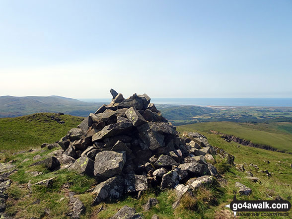
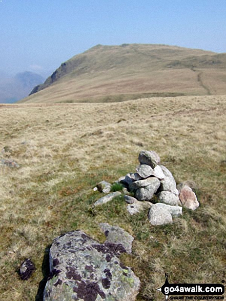
You will also reach the summit of Boat How at 337m (1106ft). Boat How is also known as an Wainwright Outlying Fell (No. 63)
You can find this walk and other nearby walks on these unique free-to-access Interactive Walk Planning Maps:
1:25,000 scale OS Explorer Map (orange/yellow covers):
1:50,000 scale OS Landranger Map (pink/magenta covers):
Some Photos and Pictures from Walk c440 Whin Rigg, Illgill Head and Boat How from Miterdale Bridge
In no particular order . . .
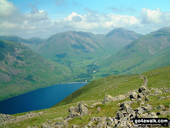
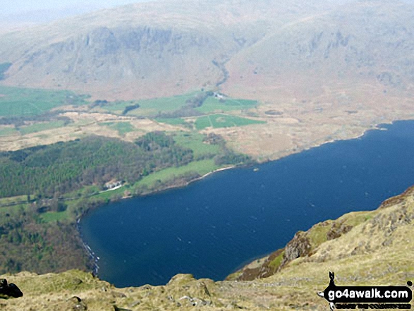
Wast Water, Yewbarrow (left), Kirk Fell (centre left), Great Gable (centre right) and Lingmell Fell (right) from Illgill Head
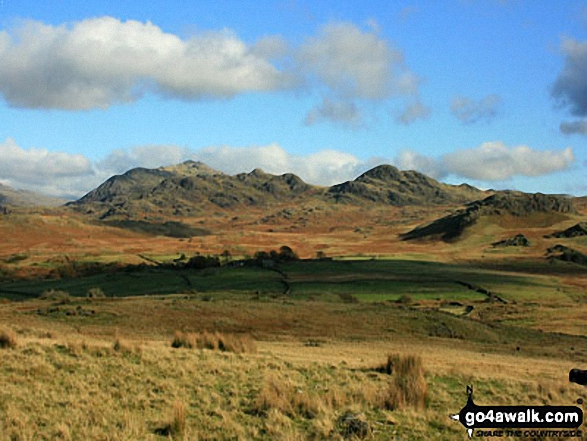

Red Pike (centre left), Pillar, Yewbarrow (centre), Kirk Fell & Great Gable (right) beyond Wast Water from Whin Rigg
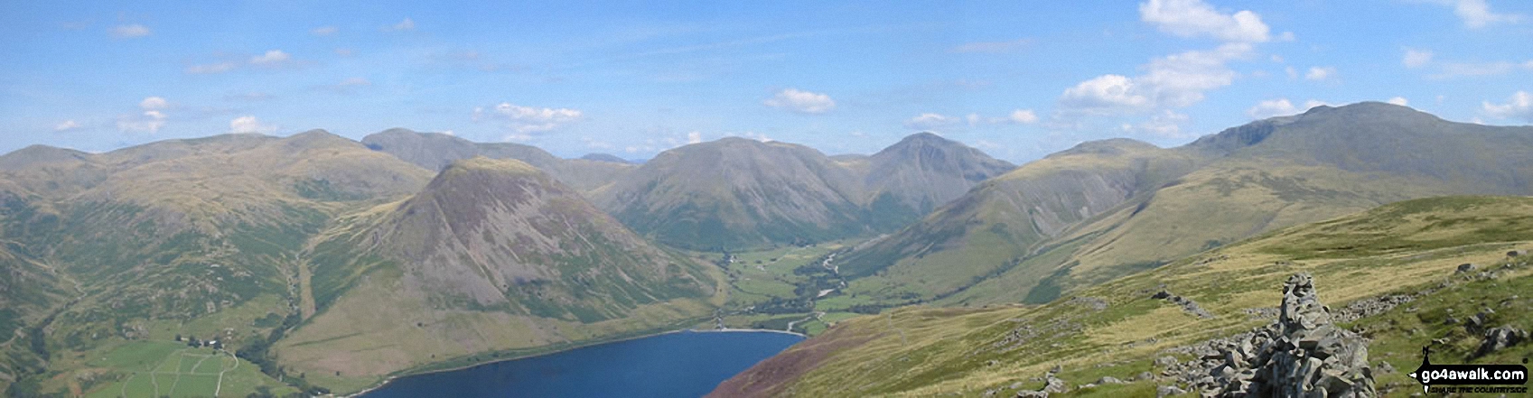
*From Left to right: Caw Fell, Seatallan, Red Pike, Pillar, Yewbarrow, Kirk Fell, Great Gable, Lingmell and Sca Fell and Wast Water (foreground) from Illgill Head (NB. Scafell Pike is largely hidden behind Sca Fell)
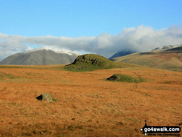
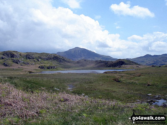
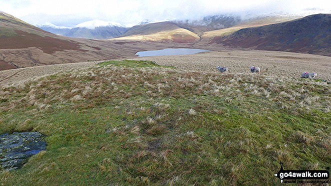
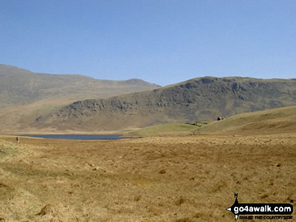
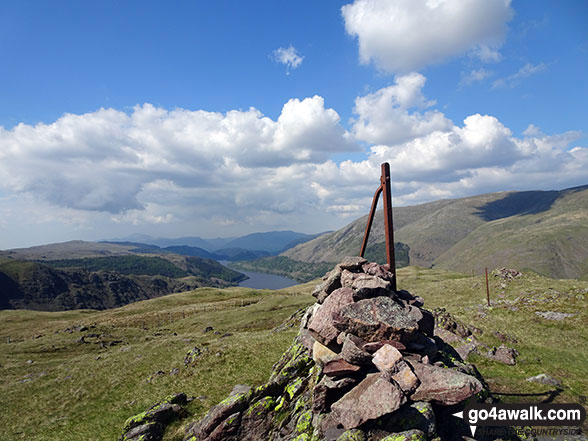
Burnmoor Tarn and the snow-capped Wasdale Fells from the summit of Boat How
. . . load all 26 walk photos from Walk c440 Whin Rigg, Illgill Head and Boat How from Miterdale Bridge
Send us your photographs and pictures from your walks and hikes
We would love to see your photographs and pictures from walk c440 Whin Rigg, Illgill Head and Boat How from Miterdale Bridge. Send them in to us as email attachments (configured for any computer) along with your name and where the picture was taken to:
and we shall do our best to publish them.
(Guide Resolution = 300dpi. At least = 660 pixels (wide) x 440 pixels (high).)

You can also submit photos from walk c440 Whin Rigg, Illgill Head and Boat How from Miterdale Bridge via our Facebook Page.
NB. Please indicate where each photo was taken.


