The North West region of England - a fully detailed list of all the Mountains, Peaks, Tops and Hills (Page 2 of 3)
The North West region of England comprises the traditional counties of Cheshire, Cumbria, Greater Manchester, Lancashire and Mersyside and includes The Lake District National Park, The Forest of Bowland, parts of The Yorkshire Dales National Park and parts of the Peak District National Park.
If you count only the Marilyns there are 81 tops to climb, bag & conquer and the highest point is Scafell Pike at 978m (3,210ft).
To see these Mountains, Peaks, Tops and Hills displayed in different ways - see the options in the left-hand column and towards the bottom of this page.
LOG ON and RELOAD this page to show which Mountains, Peaks, Tops and Hills you have already climbed, bagged & conquered [. . . more details]
Page 2 of 3 Go to page:
1 2 3 |
See this list in: Alphabetical Order
| Height Order‡
To reverse the order select the link again.
Mountain, Peak, Top or Hill:
Bagged
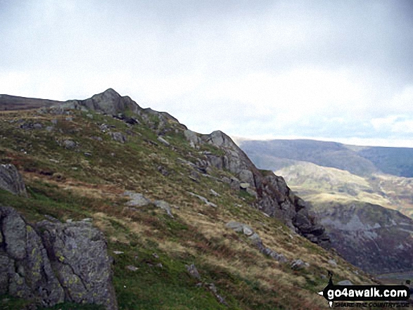
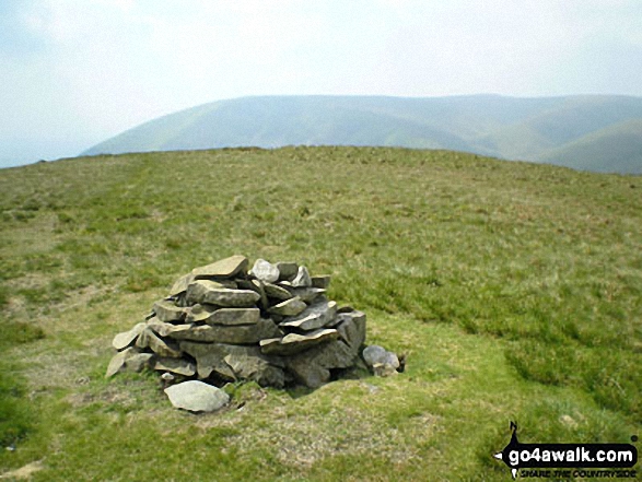
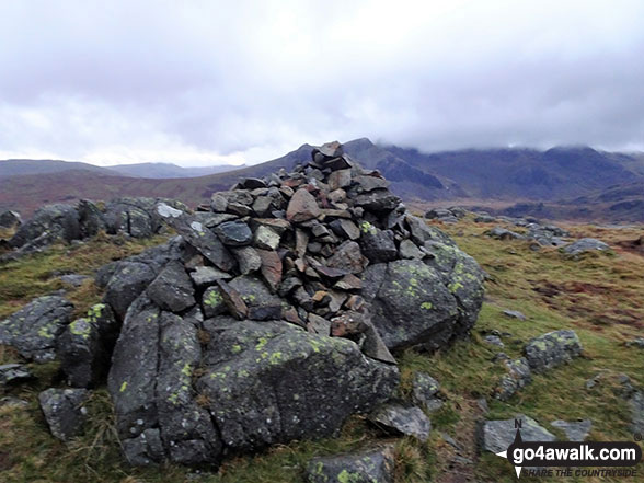
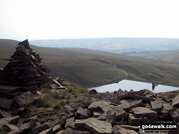
31. Tarn Crag (Sleddale)
664m (2,179ft)
Wainwright (No. 104)
Mountain (132nd in England, 225th in England & Wales)
Nuttall (177th in England, 300th in England & Wales)
Marilyn (42nd in England, 667th in GB)
To walk, climb & bag Tarn Crag (Sleddale) use this easy-to-follow walk:
See the location of Tarn Crag (Sleddale) and walks up it on a google MapTarn Crag (Sleddale) is on interactive maps:
OS Explorer (Orange Covers): OL7
OS Landranger (Pink Covers): 90
Tarn Crag (Sleddale) is on downloadable PDF you can Print or Save to your Phone:
*Version including the walk routes marked on it that you need to follow to Walk all 214 Wainwrights in just 59 walks. |
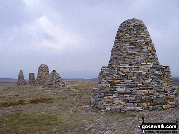
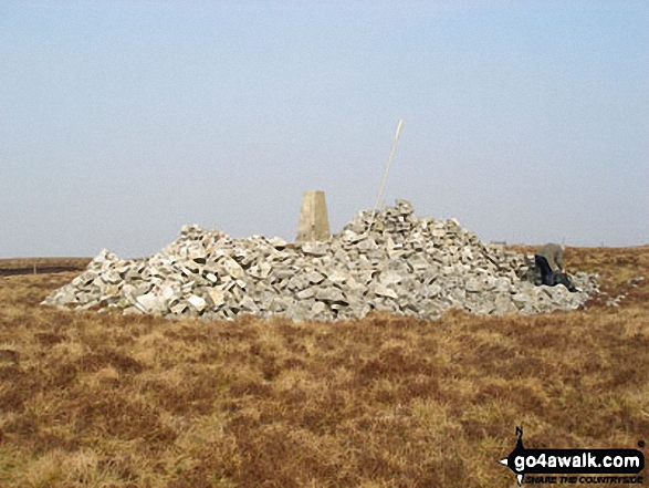
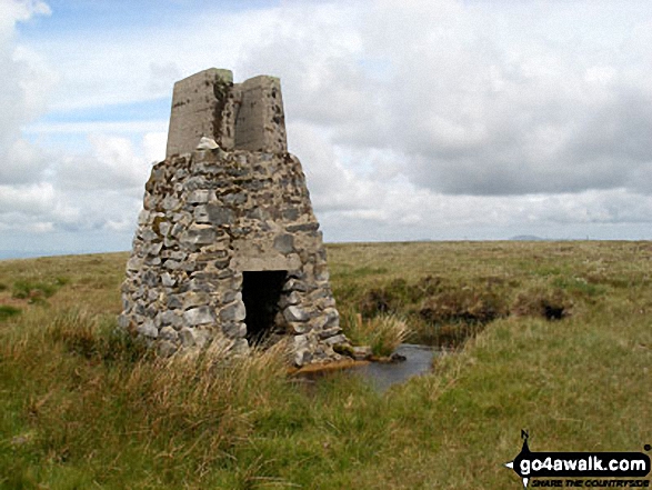
32. Nine Standards Rigg
662m (2,172ft)
Mountain (134th in England, 229th in England & Wales)
Nuttall (180th in England, 306th in England & Wales)
Marilyn (43rd in England, 673rd in GB)
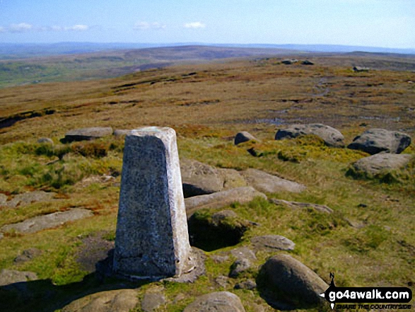
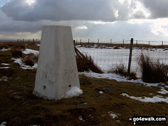
OS Trig Point
To walk, climb & bag Nine Standards Rigg use any of these easy-to-follow walks:
See the location of Nine Standards Rigg and walks up it on a google MapNine Standards Rigg is on interactive maps:
OS Explorer (Orange Covers): OL19
OS Landranger (Pink Covers): 91 and
92
Nine Standards Rigg is on downloadable PDF you can Print or Save to your Phone:
|
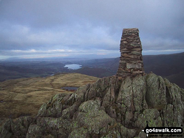
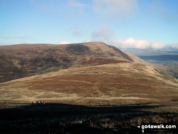
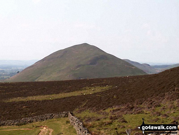
33. Place Fell
657m (2,156ft)
Wainwright (No. 108)
Mountain (137th in England, 238th in England & Wales)
Nuttall (184th in England, 319th in England & Wales)
Marilyn (44th in England, 684th in GB)
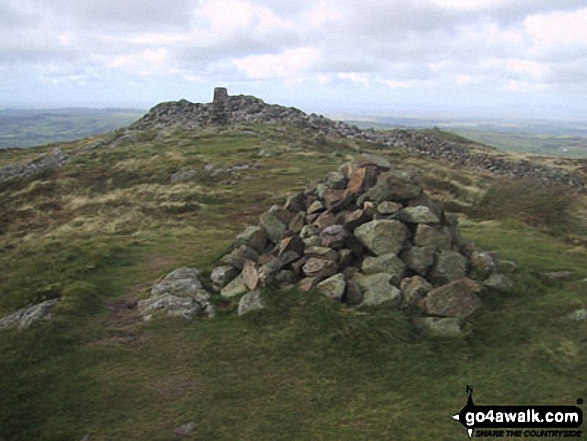
OS Trig Point
To walk, climb & bag Place Fell use any of these easy-to-follow walks:
See the location of Place Fell and walks up it on a google MapPlace Fell is on interactive maps:
OS Explorer (Orange Covers): OL5
OS Landranger (Pink Covers): 90
Place Fell is on downloadable PDF you can Print or Save to your Phone:
*Version including the walk routes marked on it that you need to follow to Walk all 214 Wainwrights in just 59 walks. |
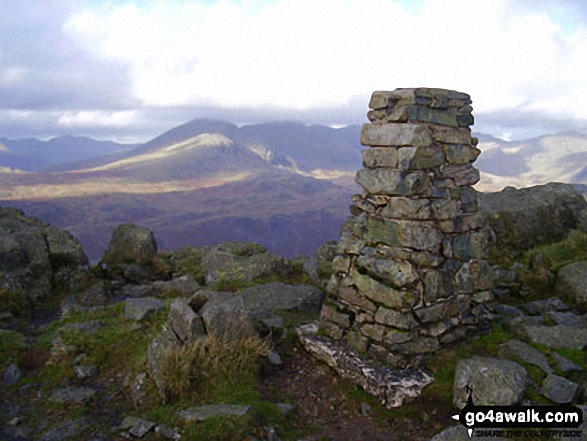
34. Harter Fell (Eskdale)
654m (2,146ft)
Wainwright (No. 112)
Mountain (140th in England, 242nd in England & Wales)
Nuttall (188th in England, 325th in England & Wales)
Marilyn (45th in England, 687th in GB)
OS Trig Point
To walk, climb & bag Harter Fell (Eskdale) use any of these easy-to-follow walks:
See the location of Harter Fell (Eskdale) and walks up it on a google MapHarter Fell (Eskdale) is on interactive maps:
OS Explorer (Orange Covers): OL6
OS Landranger (Pink Covers): 96
Harter Fell (Eskdale) is on downloadable PDF you can Print or Save to your Phone:
*Version including the walk routes marked on it that you need to follow to Walk all 214 Wainwrights in just 59 walks. |
35. Yarlside
639m (2,097ft)
Mountain (152nd in England, 260th in England & Wales)
Nuttall (201st in England, 349th in England & Wales)
Marilyn (46th in England, 704th in GB)
To walk, climb & bag Yarlside use any of these easy-to-follow walks:
See the location of Yarlside and walks up it on a google MapYarlside is on interactive maps:
OS Explorer (Orange Covers): OL19
OS Landranger (Pink Covers): 98
Yarlside is on downloadable PDF you can Print or Save to your Phone:
|
36. Cold Fell Pike (Geltsdale)
621m (2,038ft)
Mountain (167th in England, 290th in England & Wales)
Nuttall (230th in England, 400th in England & Wales)
Marilyn (48th in England, 725th in GB)
OS Trig Point
To walk, climb & bag Cold Fell Pike (Geltsdale) use either of these easy-to-follow walks:
See the location of Cold Fell Pike (Geltsdale) and walks up it on a google MapCold Fell Pike (Geltsdale) is on interactive maps:
OS Explorer (Orange Covers): OL31
OS Landranger (Pink Covers): 86
Cold Fell Pike (Geltsdale) is on downloadable PDF you can Print or Save to your Phone:
|
37. Calf Top
609m (2,000ft)
Mountain (180th in England, 317th in England & Wales)
Nuttall (253rd in England, 441st in England & Wales)
Marilyn (51st in England, 752nd in GB)
OS Trig Point
Calf Top was reclassified from a 'Dewey' to a Mountain (Hewitt) and 'Nuttall' in September 2016. Formerly thought to be fractionally under the 609.6m (2000ft) required for mountain status, the Ordnance Survey recalculated the height of the mountain using the OSTN15/OSGM15 transformation to a height of 609.606m (2000ft and 1/4 inch).
To walk, climb & bag Calf Top use this easy-to-follow walk:
See the location of Calf Top and walks up it on a google MapCalf Top is on interactive maps:
OS Explorer (Orange Covers): OL2
OS Landranger (Pink Covers): 98
Calf Top is on downloadable PDF you can Print or Save to your Phone:
|
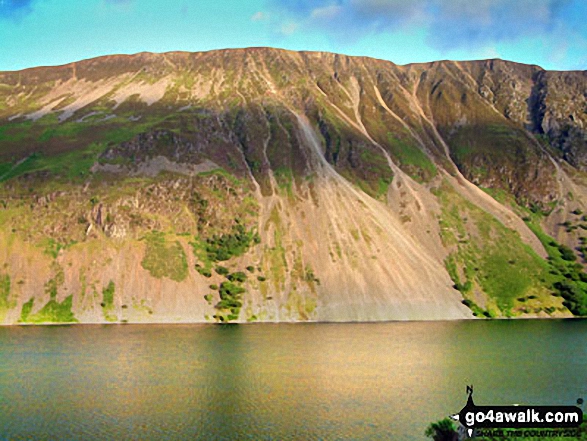
38. Illgill Head
609m (1,997ft)
Wainwright (No. 129)
Dewey (2nd in England, 4th in England & Wales)
Marilyn (52nd in England, 757th in GB)
To walk, climb & bag Illgill Head use any of these easy-to-follow walks:
See the location of Illgill Head and walks up it on a google MapIllgill Head is on interactive maps:
OS Explorer (Orange Covers): OL6
OS Landranger (Pink Covers): 89
Illgill Head is on downloadable PDF you can Print or Save to your Phone:
*Version including the walk routes marked on it that you need to follow to Walk all 214 Wainwrights in just 59 walks. |
39. Black Combe
600m (1,969ft)
Dewey (12th in England, 25th in England & Wales)
Wainwright Outlying Fell (No. 2)
Marilyn (54th in England, 769th in GB)
OS Trig Point
A rare location in the United Kingdom where, on a clear day, you can see five countries - England, Scotland, Wales, Northern Ireland & Southern Ireland and the self-governing British Crown dependency, The Isle of Man.
William Wordsworth claimed that the summit of Black Combe offered "the amplest range of unobstructed prospect may be seen that British ground commands."
To walk, climb & bag Black Combe use either of these easy-to-follow walks:
See the location of Black Combe and walks up it on a google MapBlack Combe is on interactive maps:
OS Explorer (Orange Covers): OL6
OS Landranger (Pink Covers): 96
A downloadable go4awalk.com PDF Peak Bagging Map featuring Black Combe will be available soon. |
40. Blake Fell
573m (1,881ft)
Wainwright (No. 139)
Dewey (37th in England, 82nd in England & Wales)
Marilyn (56th in England, 810th in GB)
OS Trig Point
To walk, climb & bag Blake Fell use any of these easy-to-follow walks:
See the location of Blake Fell and walks up it on a google MapBlake Fell is on interactive maps:
OS Explorer (Orange Covers): OL4
OS Landranger (Pink Covers): 89
Blake Fell is on downloadable PDF you can Print or Save to your Phone:
*Version including the walk routes marked on it that you need to follow to Walk all 214 Wainwrights in just 59 walks. |
41. Whitfell (Whit Fell)
573m (1,880ft)
Dewey (39th in England, 85th in England & Wales)
Wainwright Outlying Fell (No. 5)
Marilyn (57th in England, 811th in GB)
OS Trig Point
To walk, climb & bag Whitfell (Whit Fell) use this easy-to-follow walk:
See the location of Whitfell (Whit Fell) and walks up it on a google MapWhitfell (Whit Fell) is on interactive maps:
OS Explorer (Orange Covers): OL6
OS Landranger (Pink Covers): 96
A downloadable go4awalk.com PDF Peak Bagging Map featuring Whitfell (Whit Fell) will be available soon. |
42. Mallowdale Pike (Mallowdale Fell)
561m (1,841ft)
Dewey (52nd in England, 120th in England & Wales)
Marilyn (58th in England, 845th in GB)
OS Trig Point
To walk, climb & bag Mallowdale Pike (Mallowdale Fell) use either of these easy-to-follow walks:
See the location of Mallowdale Pike (Mallowdale Fell) and walks up it on a google MapMallowdale Pike (Mallowdale Fell) is on interactive maps:
OS Explorer (Orange Covers): OL41
OS Landranger (Pink Covers): 102
Mallowdale Pike (Mallowdale Fell) is on downloadable PDF you can Print or Save to your Phone:
|
43. Shining Tor
559m (1,835ft)
Dewey (54th in England, 124th in England & Wales)
Marilyn (59th in England, 851st in GB)
OS Trig Point
Shining Tor is the highest point in the county of Cheshire.
To walk, climb & bag Shining Tor use any of these easy-to-follow walks:
See the location of Shining Tor and walks up it on a google MapShining Tor is on interactive maps:
OS Explorer (Orange Covers): OL24
OS Landranger (Pink Covers): 118
Shining Tor is on downloadable PDF you can Print or Save to your Phone:
|
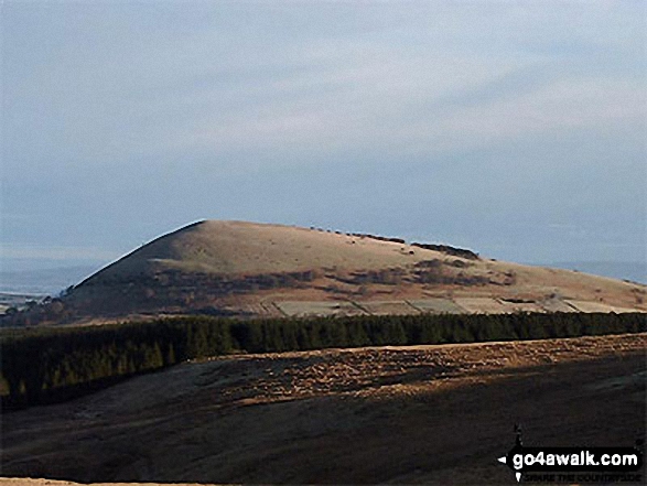
44. Pendle Hill (Beacon or Big End)
557m (1,828ft)
Dewey (58th in England, 134th in England & Wales)
Marilyn (60th in England, 854th in GB)
OS Trig Point
To walk, climb & bag Pendle Hill (Beacon or Big End) use any of these easy-to-follow walks:
See the location of Pendle Hill (Beacon or Big End) and walks up it on a google MapPendle Hill (Beacon or Big End) is on interactive maps:
OS Explorer (Orange Covers): OL21 and
OL41
OS Landranger (Pink Covers): 103
Pendle Hill (Beacon or Big End) is on downloadable PDF you can Print or Save to your Phone:
|
45. Aye Gill Pike
556m (1,824ft)
Dewey (60th in England, 139th in England & Wales)
Marilyn (61st in England, 856th in GB)
OS Trig Point
To walk, climb & bag Aye Gill Pike use either of these easy-to-follow walks:
See the location of Aye Gill Pike and walks up it on a google MapAye Gill Pike is on interactive maps:
OS Explorer (Orange Covers): OL2
OS Landranger (Pink Covers): 98
Aye Gill Pike is on downloadable PDF you can Print or Save to your Phone:
|
46. Lord's Seat (Whinlatter)
552m (1,812ft)
Wainwright (No. 147)
Dewey (66th in England, 153rd in England & Wales)
Marilyn (63rd in England, 868th in GB)
OS Trig Point
To walk, climb & bag Lord's Seat (Whinlatter) use any of these easy-to-follow walks:
See the location of Lord's Seat (Whinlatter) and walks up it on a google MapLord's Seat (Whinlatter) is on interactive maps:
OS Explorer (Orange Covers): OL4
OS Landranger (Pink Covers): 89 and
90
Lord's Seat (Whinlatter) is on downloadable PDF you can Print or Save to your Phone:
*Version including the walk routes marked on it that you need to follow to Walk all 214 Wainwrights in just 59 walks. |
47. Hard Knott
549m (1,802ft)
Wainwright (No. 151)
Dewey (72nd in England, 166th in England & Wales)
Marilyn (64th in England, 879th in GB)
To walk, climb & bag Hard Knott use either of these easy-to-follow walks:
See the location of Hard Knott and walks up it on a google MapHard Knott is on interactive maps:
OS Explorer (Orange Covers): OL6
OS Landranger (Pink Covers): 89 and
90
Hard Knott is on downloadable PDF you can Print or Save to your Phone:
*Version including the walk routes marked on it that you need to follow to Walk all 214 Wainwrights in just 59 walks. |
48. White Hill (Forest of Bowland)
544m (1,785ft)
Dewey (84th in England, 195th in England & Wales)
Marilyn (65th in England, 891st in GB)
OS Trig Point
To walk, climb & bag White Hill (Forest of Bowland) use either of these easy-to-follow walks:
See the location of White Hill (Forest of Bowland) and walks up it on a google MapWhite Hill (Forest of Bowland) is on interactive maps:
OS Explorer (Orange Covers): OL41
OS Landranger (Pink Covers): 103
White Hill (Forest of Bowland) is on downloadable PDF you can Print or Save to your Phone:
|
49. Great Mell Fell
537m (1,762ft)
Wainwright (No. 154)
Dewey (98th in England, 229th in England & Wales)
Marilyn (67th in England, 901st in GB)
OS Trig Point
To walk, climb & bag Great Mell Fell use either of these easy-to-follow walks:
See the location of Great Mell Fell and walks up it on a google MapGreat Mell Fell is on interactive maps:
OS Explorer (Orange Covers): OL5
OS Landranger (Pink Covers): 90
Great Mell Fell is on downloadable PDF you can Print or Save to your Phone:
*Version including the walk routes marked on it that you need to follow to Walk all 214 Wainwrights in just 59 walks. |
50. Fair Snape Fell
520m (1,706ft)
Dewey (138th in England, 317th in England & Wales)
Marilyn (70th in England, 937th in GB)
To walk, climb & bag Fair Snape Fell use any of these easy-to-follow walks:
See the location of Fair Snape Fell and walks up it on a google MapFair Snape Fell is on interactive maps:
OS Explorer (Orange Covers): OL41
OS Landranger (Pink Covers): 102
Fair Snape Fell is on downloadable PDF you can Print or Save to your Phone:
|
51. Lad Law (Boulsworth Hill)
517m (1,697ft)
Dewey (143rd in England, 331st in England & Wales)
Marilyn (73rd in England, 942nd in GB)
OS Trig Point
To walk, climb & bag Lad Law (Boulsworth Hill) use this easy-to-follow walk:
See the location of Lad Law (Boulsworth Hill) and walks up it on a google MapLad Law (Boulsworth Hill) is on interactive maps:
OS Explorer (Orange Covers): OL21
OS Landranger (Pink Covers): 103
Lad Law (Boulsworth Hill) is on downloadable PDF you can Print or Save to your Phone:
|
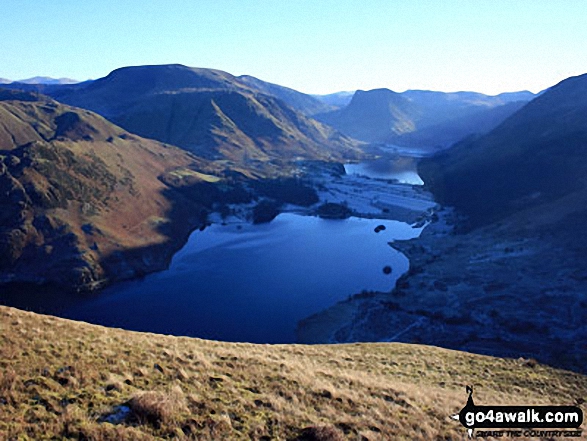
52. Mellbreak
512m (1,680ft)
Wainwright (No. 168)
Dewey (156th in England, 358th in England & Wales)
Marilyn (75th in England, 962nd in GB)
To walk, climb & bag Mellbreak use any of these easy-to-follow walks:
See the location of Mellbreak and walks up it on a google MapMellbreak is on interactive maps:
OS Explorer (Orange Covers): OL4
OS Landranger (Pink Covers): 89
Mellbreak is on downloadable PDF you can Print or Save to your Phone:
*Version including the walk routes marked on it that you need to follow to Walk all 214 Wainwrights in just 59 walks. |
53. Little Mell Fell
505m (1,657ft)
Wainwright (No. 173)
Dewey (172nd in England, 398th in England & Wales)
Marilyn (77th in England, 980th in GB)
OS Trig Point
To walk, climb & bag Little Mell Fell use either of these easy-to-follow walks:
See the location of Little Mell Fell and walks up it on a google MapLittle Mell Fell is on interactive maps:
OS Explorer (Orange Covers): OL5
OS Landranger (Pink Covers): 90
Little Mell Fell is on downloadable PDF you can Print or Save to your Phone:
*Version including the walk routes marked on it that you need to follow to Walk all 214 Wainwrights in just 59 walks. |
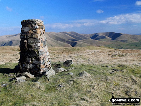
54. Grayrigg Forest
494m (1,621ft)
Marilyn (80th in England, 994th in GB)
OS Trig Point
To walk, climb & bag Grayrigg Forest use this easy-to-follow walk:
See the location of Grayrigg Forest and walks up it on a google MapGrayrigg Forest is on interactive maps:
OS Explorer (Orange Covers): OL7
OS Landranger (Pink Covers): 97
A downloadable go4awalk.com PDF Peak Bagging Map featuring Grayrigg Forest will be available soon. |
55. Dufton Pike
481m (1,579ft)
Marilyn (81st in England, 1025th in GB)
To walk, climb & bag Dufton Pike use either of these easy-to-follow walks:
See the location of Dufton Pike and walks up it on a google MapDufton Pike is on interactive maps:
OS Explorer (Orange Covers): OL19
OS Landranger (Pink Covers): 91
Dufton Pike is on downloadable PDF you can Print or Save to your Phone:
|
56. Hail Storm Hill
477m (1,566ft)
Marilyn (82nd in England, 1035th in GB)
To walk, climb & bag Hail Storm Hill use any of these easy-to-follow walks:
See the location of Hail Storm Hill and walks up it on a google MapHail Storm Hill is on interactive maps:
OS Explorer (Orange Covers): OL21
OS Landranger (Pink Covers): 109
Hail Storm Hill is on downloadable PDF you can Print or Save to your Phone:
|
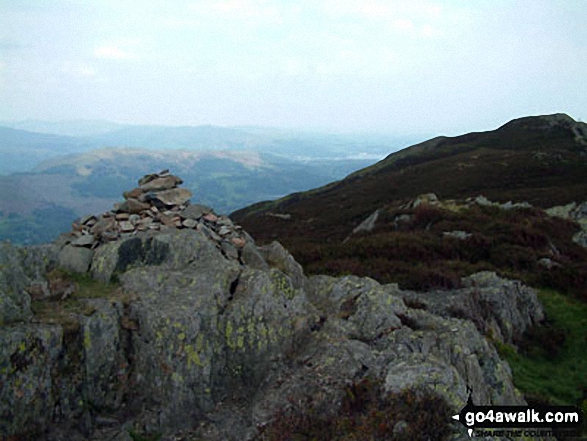
57. Lingmoor Fell
469m (1,539ft)
Wainwright (No. 184)
Marilyn (83rd in England, 1052nd in GB)
To walk, climb & bag Lingmoor Fell use either of these easy-to-follow walks:
See the location of Lingmoor Fell and walks up it on a google MapLingmoor Fell is on interactive maps:
OS Explorer (Orange Covers): OL6 and
OL7
OS Landranger (Pink Covers): 90
Lingmoor Fell is on downloadable PDF you can Print or Save to your Phone:
*Version including the walk routes marked on it that you need to follow to Walk all 214 Wainwrights in just 59 walks. |
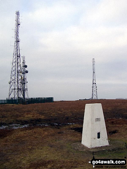
58. Winter Hill (Rivington Moor)
456m (1,497ft)
Marilyn (85th in England, 1093rd in GB)
OS Trig Point
To walk, climb & bag Winter Hill (Rivington Moor) use either of these easy-to-follow walks:
See the location of Winter Hill (Rivington Moor) and walks up it on a google MapWinter Hill (Rivington Moor) is on interactive maps:
OS Explorer (Orange Covers): 287
OS Landranger (Pink Covers): 109
Winter Hill (Rivington Moor) is on downloadable PDF you can Print or Save to your Phone:
|
59. Freeholds Top
455m (1,493ft)
Marilyn (86th in England, 1095th in GB)
OS Trig Point
To walk, climb & bag Freeholds Top use this easy-to-follow walk:
See the location of Freeholds Top and walks up it on a google MapFreeholds Top is on interactive maps:
OS Explorer (Orange Covers): OL21
OS Landranger (Pink Covers): 103
Freeholds Top is on downloadable PDF you can Print or Save to your Phone:
|
60. Binsey
447m (1,467ft)
Wainwright (No. 192)
Marilyn (89th in England, 1113th in GB)
OS Trig Point
To walk, climb & bag Binsey use either of these easy-to-follow walks:
See the location of Binsey and walks up it on a google MapBinsey is on interactive maps:
OS Explorer (Orange Covers): OL4
OS Landranger (Pink Covers): 89 and
90
Binsey is on downloadable PDF you can Print or Save to your Phone:
*Version including the walk routes marked on it that you need to follow to Walk all 214 Wainwrights in just 59 walks. |
Page 2 of 3 Go to page:
1 2 3 |
View these 81 Mountains, Peaks, Tops and Hills:
Is there a Mountain, Peak, Top or Hill missing from the above google map or list?
Let us know an we will add it to our database.

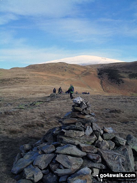
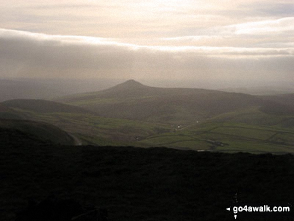
 The view from Scafell Pike in The Northern Fells area of The Lake District


