
![]()
Whitfell (Whit Fell)
573m (1880ft)
The South Western Marches, The Lake District, Cumbria, England
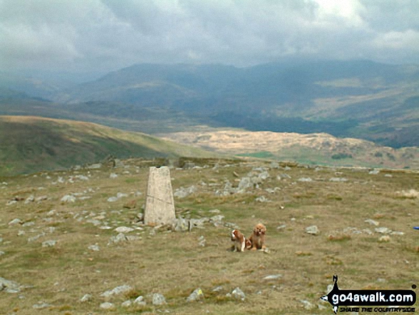
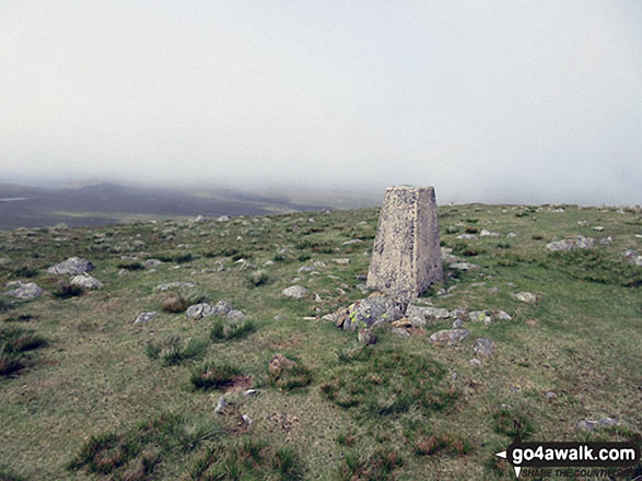
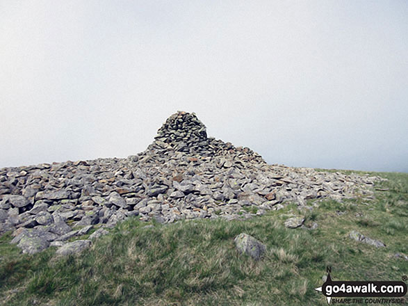
The summit of Whitfell (Whit Fell) is marked by an Ordnance Survey Trig Point.
Not familiar with this top?
   |
|---|
Vital Statistics:
| Length: | 10.25ml (16.5km) |
|---|---|
| Ascent: | 2,198ft (670m) |
| Time: | 6 hrs |
| Grade: |  (Moderate) (Moderate) |
Route Summary:
Broad Oak - Whitrow Beck - Waberthwaite Fell - Rowantree Falls - Stainton Pike - Whitfell (Whit Fell) - Burn Moor - Buck Barrow - Kinmont Buck Barrow - Whitrow Beck - Broad Oak
See Whitfell (Whit Fell) and the surrounding tops on our free-to-access 'Google Style' Peak Bagging Maps:
The South Western Marches area of The Lake District National Park
Less data - quicker to download
The Whole of The Lake District National Park
More data - might take a little longer to download
A go4awalk.com downloadable Peak Bagging Map in PDF format featuring Whitfell (Whit Fell) should be available soon.
You can find Whitfell (Whit Fell) & all the walks that climb it on these unique free-to-access Interactive Walk Planning Maps:
1:25,000 scale OS Explorer Map (orange/yellow covers):
1:50,000 scale OS Landranger Map (pink/magenta covers):
 Fellow go4awalkers who have already walked, climbed, summited & bagged Whitfell (Whit Fell)
Trevor Williams walked up Whitfell (Whit Fell) on February 7th, 2025 [with] Paul [weather] windy,cold - good
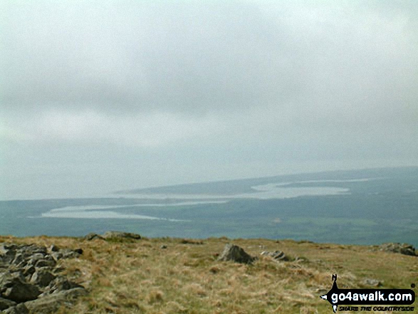
David Lord climbed Whitfell (Whit Fell) on March 12th, 2017 [from/via/route] from a small car park at the top of Corneyfell road. [with] Debbie Lord [weather] warm, sunny day. - An excellent walk/climb that affords excellent views over the Duddon estuary & also inland to the big Lakeland fells.superb views all round.
Dave Gay bagged Whitfell (Whit Fell) on October 25th, 2017 [from/via/route] Great Paddy Crag - Buck Barrow - Whit Fell - Burn Moor - Kinmont BB. From the Fell Road as in Wainwrights Outlying Fells with a diversion to Great Paddy Crag. [with] Solo [weather] windy day with varying visibility Clear but cloudy - good views
Christine Shepherd hiked Whitfell (Whit Fell) on May 28th, 2017 [from/via/route] Walked from Broad Oak using walk c373. [with] On my own [weather] Very misty at first but retraced my steps to this fell when the sky cleared & the sun came out. - Don't usually do a fell twice in one day but the change in weather conditions meant that I had a chance to see the view so I went back.
Andy Pearce summited Whitfell (Whit Fell) on June 12th, 2015 [from/via/route] 1 of 13 peaks from the top of the Corney Fell Road [with] Anita Pearce & Stan [weather] High cloud, brilliant walking conditions earlier on, warmed up as the Sun came out, became oppressive later on in the afternoon
Paul Booth, Peter Thwaites, Louise Sandwith, Mike Walker, David Preston and Mark Davidson have all walked, climbed & bagged Whitfell (Whit Fell).
To add (or remove) your name and experiences on this page - Log On and edit your Personal Mountain Bagging Record
More Photographs & Pictures of views from, on or of Whitfell (Whit Fell)
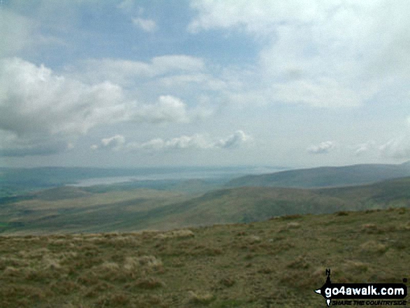
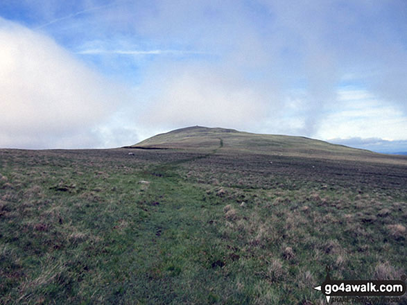
Burnmoor (left) and Whitfell (Whit Fell) (centre) from Kinmont Buck Barrow
Send us your photographs and pictures on, of, or from Whitfell (Whit Fell)
If you would like to add your walk photographs and pictures featuring views from, on or of Whitfell (Whit Fell) to this page, please send them as email attachments (configured for any computer) along with your name to:
and we shall do our best to publish them.
(Guide Resolution = 300dpi. At least = 660pixels (wide) x 440 pixels (high).)

You can also submit photos via our Facebook Page.
NB. Please indicate where each photo was taken and whether you wish us to credit your photos with a Username or your First Name/Last Name.
Not familiar with this top?


