   |
Vital Statistics:
| Length: | 12¼mls (19.5km) |
| Ascent: | 1,960ft (515m) |
| Time: | 6¼hrs |
| Grade: |  |
Route outline for walk l117:
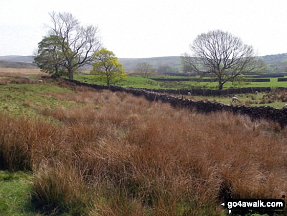
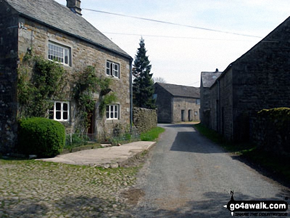
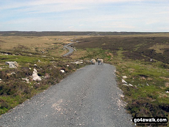
Abbeystead - Stoops Bridge - Tarnbrook Wyre - Lee - Tarnbrook - Higher Syke - Black Side of Tarnbrook Fell - Gables Clough - Tarnbrook Fell - Brown Syke - Mallowdale Pike (Mallowdale Fell) - Ward's Stone (Mallowdale Fell) - Ward's Stone Breast - Cabin Flat - Lee Fell - Grizedale Head - Rotten Hill - Margery's Hill - Higher Lee Farm - Rakehouse Barn - Grizedale Bridge - Abbeystead
Peaks, Summits and Tops reached on this walk:
 0 English Mountains |
 0 Wainwrights |
 0 English Nuttalls |
 1 English Dewey |
 0 Wainwright Outlying Fells |
 1 Marilyn |
 1 Bridget |
Peak Bagging Statistics for this walk:
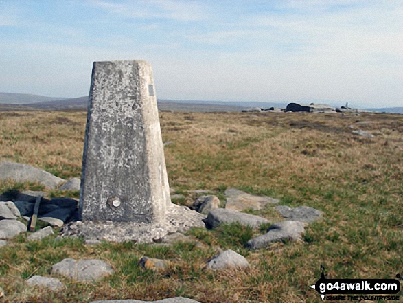
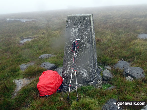
The highest point of this walk is Mallowdale Pike (Mallowdale Fell) at 561m (1841ft). Mallowdale Pike (Mallowdale Fell) is also known as an English Dewey (52nd highest in England, 120th in England & Wales) and an English Marilyn (58th highest in England, 845th highest in the UK). The summit of Mallowdale Pike (Mallowdale Fell) is marked by an Ordnance Survey Trig Point.
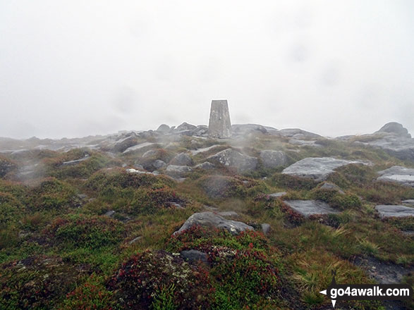
Completing this walk will also take you to the top of Ward's Stone (Mallowdale Fell) at 560m (1837ft). Ward's Stone (Mallowdale Fell) is known as an English Bridget. The summit of Ward's Stone (Mallowdale Fell) is marked by an Ordnance Survey Trig Point.
You can find this walk and other nearby walks on these unique free-to-access Interactive Walk Planning Maps:
1:25,000 scale OS Explorer Map (orange/yellow covers):
1:50,000 scale OS Landranger Map (pink/magenta covers):
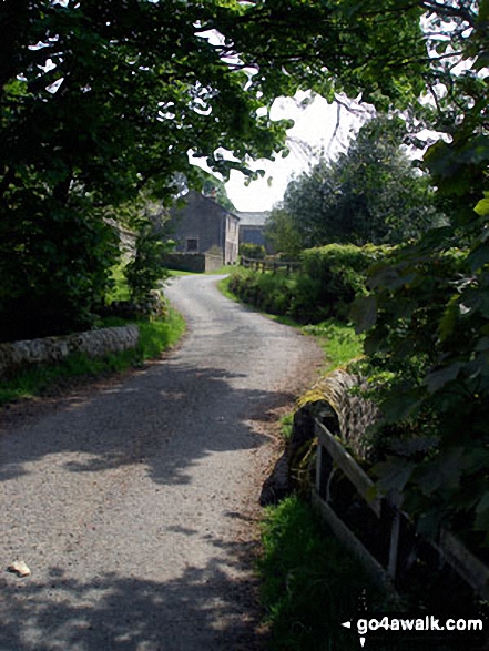
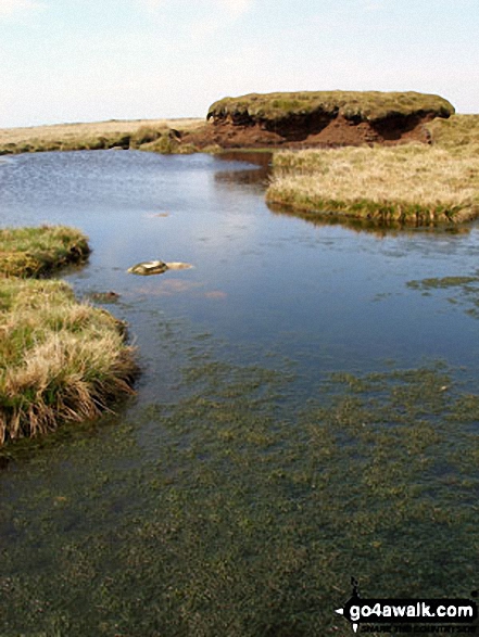
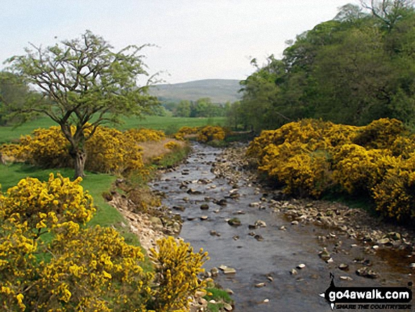
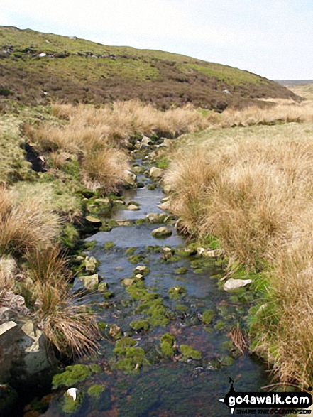
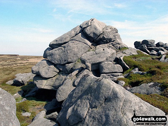
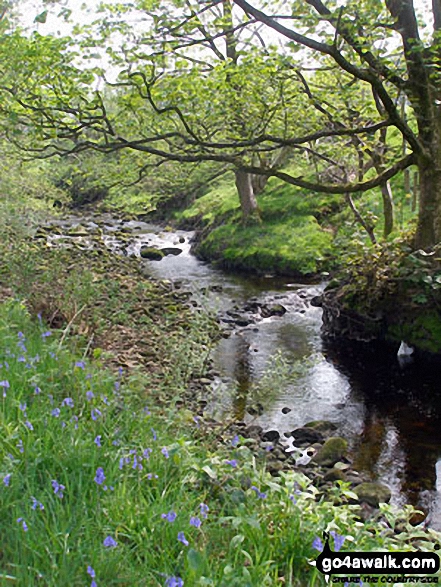
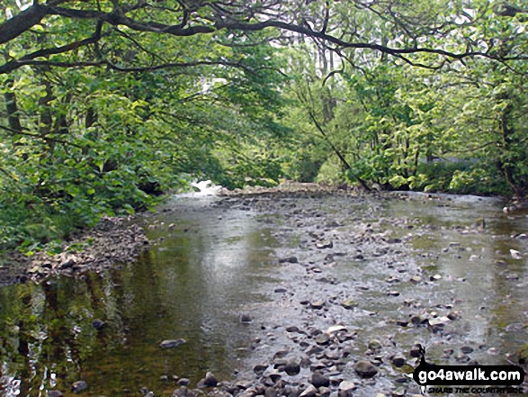
Some Photos and Pictures from Walk l117 Mallowdale Pike and Ward's Stone from Abbeystead
In no particular order . . .
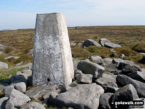
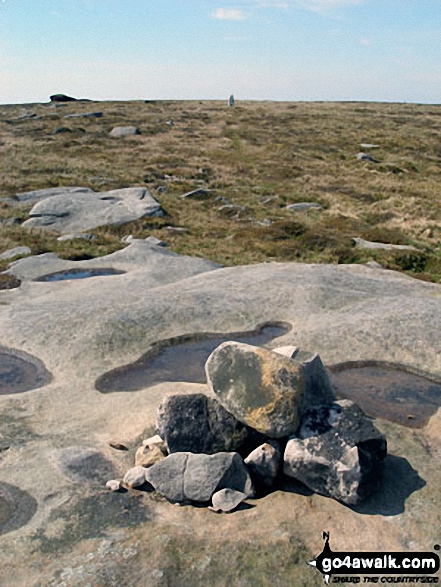
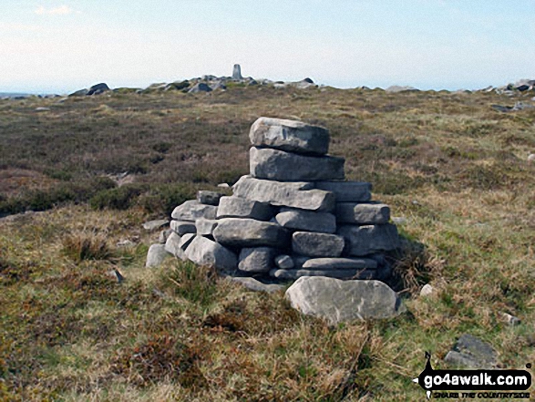
Grey Mare and Foal (rock formations) from Mallowdale Pike (Mallowdale Fell) Trig Point
Send us your photographs and pictures from your walks and hikes
We would love to see your photographs and pictures from walk l117 Mallowdale Pike and Ward's Stone from Abbeystead. Send them in to us as email attachments (configured for any computer) along with your name and where the picture was taken to:
and we shall do our best to publish them.
(Guide Resolution = 300dpi. At least = 660 pixels (wide) x 440 pixels (high).)

You can also submit photos from walk l117 Mallowdale Pike and Ward's Stone from Abbeystead via our Facebook Page.
NB. Please indicate where each photo was taken.


