England - a fully detailed list of all the Mountains, Peaks, Tops and Hills (Page 7 of 9)
England is defined as the whole of the country of England which includes the National Parks of Dartmoor, Exmoor, The Lake District, The Peak District, The North York Moors, Northumberland, The South Downs and The Yorkshire Dales, as well as The Chilterns, The Cotswolds, The Forest of Bowland, The North Peninnes, The Shropshire Hills and The South Peninnes.
If you count only the Nuttalls there are 254 tops to climb, bag & conquer and the highest point is Scafell Pike at 978m (3,210ft).
To see these Mountains, Peaks, Tops and Hills displayed in different ways - see the options in the left-hand column and towards the bottom of this page.
![]() Your Personal Bagging Record for England
Your Personal Bagging Record for England
LOG ON and RELOAD this page to show which Mountains, Peaks, Tops and Hills you have already climbed, bagged & conquered [. . . more details]
See this list in: Alphabetical Order
| Height Order‡
To reverse the order select the link again.
Mountain, Peak, Top or Hill:
Bagged

![]()
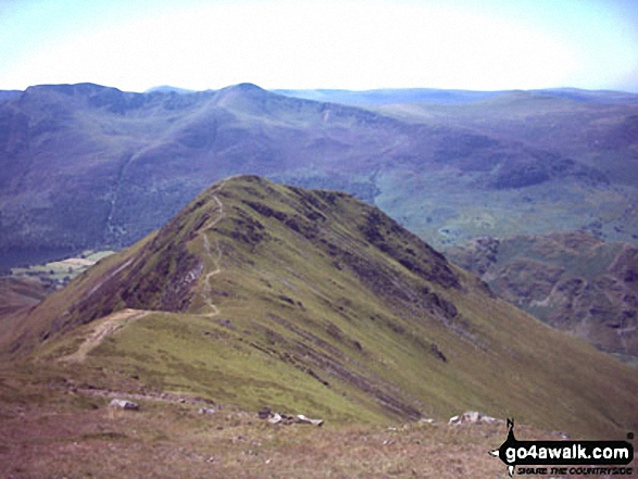
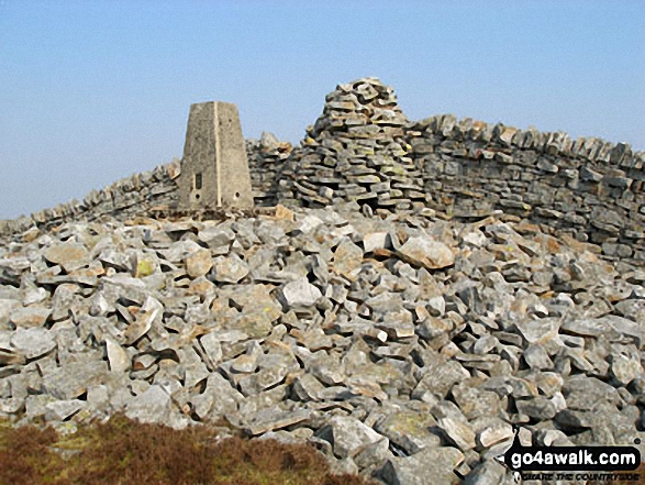
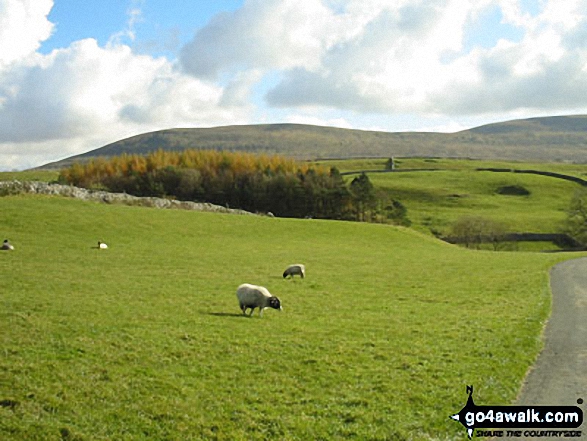
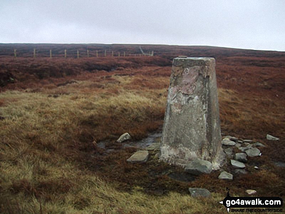
181. Whiteless Pike
660m (2,166ft)
Whiteless Pike is on interactive maps:
Whiteless Pike is on downloadable PDF you can Print or Save to your Phone: *Version including the walk routes marked on it that you need to follow to Walk all 214 Wainwrights in just 59 walks. |
![]()
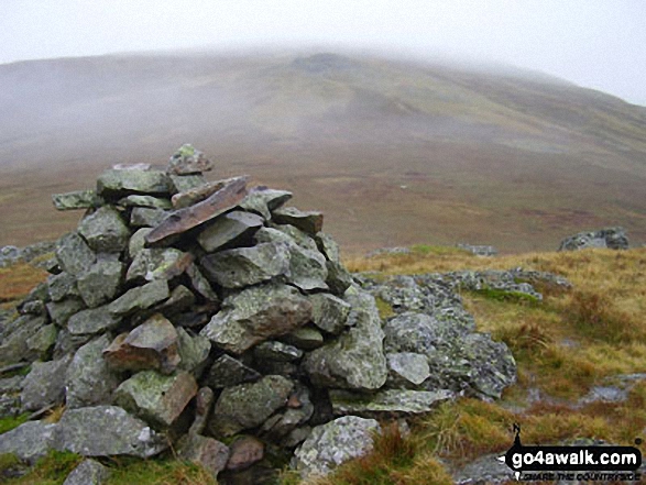
182. High Pike (Caldbeck)
658m (2,160ft)
High Pike (Caldbeck) is on interactive maps:
High Pike (Caldbeck) is on downloadable PDF you can Print or Save to your Phone: *Version including the walk routes marked on it that you need to follow to Walk all 214 Wainwrights in just 59 walks. |
![]()
183. Long Man Hill
658m (2,159ft)
Long Man Hill is on interactive maps:
Long Man Hill is on downloadable PDF you can Print or Save to your Phone: |
![]()
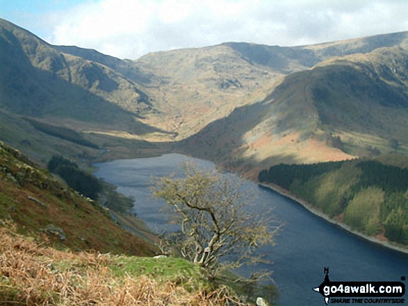
184. Place Fell
657m (2,156ft)
Place Fell is on interactive maps:
Place Fell is on downloadable PDF you can Print or Save to your Phone: *Version including the walk routes marked on it that you need to follow to Walk all 214 Wainwrights in just 59 walks. |
![]()
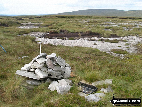
185. Grey Nag
656m (2,153ft)
Grey Nag is on interactive maps:
Grey Nag is on downloadable PDF you can Print or Save to your Phone: |
![]()
186. Low Saddle (Coldbarrow Fell)
656m (2,153ft)
Low Saddle (Coldbarrow Fell) is on interactive maps:
Low Saddle (Coldbarrow Fell) is on downloadable PDF you can Print or Save to your Phone: *Version including the walk routes marked on it that you need to follow to Walk all 214 Wainwrights in just 59 walks. |
![]()
187. Selside Pike
655m (2,150ft)
Selside Pike is on interactive maps:
Selside Pike is on downloadable PDF you can Print or Save to your Phone: *Version including the walk routes marked on it that you need to follow to Walk all 214 Wainwrights in just 59 walks. |
![]()
188. Harter Fell (Eskdale)
654m (2,146ft)
Harter Fell (Eskdale) is on interactive maps:
Harter Fell (Eskdale) is on downloadable PDF you can Print or Save to your Phone: *Version including the walk routes marked on it that you need to follow to Walk all 214 Wainwrights in just 59 walks. |
![]()
189. High Spy
653m (2,143ft)
High Spy is on interactive maps:
High Spy is on downloadable PDF you can Print or Save to your Phone: *Version including the walk routes marked on it that you need to follow to Walk all 214 Wainwrights in just 59 walks. |
![]()
190. Comb Fell
652m (2,139ft)
Comb Fell is on interactive maps:
A downloadable go4awalk.com PDF Peak Bagging Map featuring Comb Fell will be available soon. |
![]()
191. Rossett Pike
651m (2,136ft)
Rossett Pike is on interactive maps:
Rossett Pike is on downloadable PDF you can Print or Save to your Phone: *Version including the walk routes marked on it that you need to follow to Walk all 214 Wainwrights in just 59 walks. |
![]()
192. Three Pikes
650m (2,134ft)
Three Pikes is on interactive maps:
Three Pikes is on downloadable PDF you can Print or Save to your Phone: |
![]()
193. Simon Fell
650m (2,133ft)
Simon Fell is on interactive maps:
Simon Fell is on downloadable PDF you can Print or Save to your Phone: |
![]()
194. Viewing Hill
649m (2,130ft)
Viewing Hill is on interactive maps:
Viewing Hill is on downloadable PDF you can Print or Save to your Phone: |
![]()
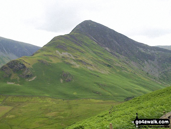
195. Fleetwith Pike
648m (2,126ft)
Fleetwith Pike is on interactive maps:
Fleetwith Pike is on downloadable PDF you can Print or Save to your Phone: *Version including the walk routes marked on it that you need to follow to Walk all 214 Wainwrights in just 59 walks. |
![]()
196. Base Brown
646m (2,120ft)
Base Brown is on interactive maps:
Base Brown is on downloadable PDF you can Print or Save to your Phone: *Version including the walk routes marked on it that you need to follow to Walk all 214 Wainwrights in just 59 walks. |
![]()
197. Yockenthwaite Moor
643m (2,110ft)
Yockenthwaite Moor is on interactive maps:
Yockenthwaite Moor is on downloadable PDF you can Print or Save to your Phone: |
![]()
198. Dodd (Buttermere)
641m (2,104ft)
Dodd (Buttermere) is on interactive maps:
Dodd (Buttermere) is on downloadable PDF you can Print or Save to your Phone: *Version including the walk routes marked on it that you need to follow to Walk all 214 Wainwrights in just 59 walks. |
![]()
199. Fell Head (Howgills)
640m (2,100ft)
Fell Head (Howgills) is on interactive maps:
Fell Head (Howgills) is on downloadable PDF you can Print or Save to your Phone: |
![]()
200. Iron Crag
640m (2,100ft)
Iron Crag is on interactive maps:
Iron Crag is on downloadable PDF you can Print or Save to your Phone: *Version including the walk routes marked on it that you need to follow to Walk all 214 Wainwrights in just 59 walks. |
![]()
201. Yarlside
639m (2,097ft)
Yarlside is on interactive maps:
Yarlside is on downloadable PDF you can Print or Save to your Phone: |
![]()
202. Grey Crag (Sleddale)
638m (2,094ft)
Grey Crag (Sleddale) is on interactive maps:
Grey Crag (Sleddale) is on downloadable PDF you can Print or Save to your Phone: *Version including the walk routes marked on it that you need to follow to Walk all 214 Wainwrights in just 59 walks. |
![]()
203. Causey Pike
637m (2,091ft)
Causey Pike is on interactive maps:
Causey Pike is on downloadable PDF you can Print or Save to your Phone: *Version including the walk routes marked on it that you need to follow to Walk all 214 Wainwrights in just 59 walks. |
![]()
204. Harrop Pike
637m (2,091ft)
Harrop Pike is on interactive maps:
Harrop Pike is on downloadable PDF you can Print or Save to your Phone: *Version including the walk routes marked on it that you need to follow to Walk all 214 Wainwrights in just 59 walks. |
![]()
205. Little Hart Crag
637m (2,091ft)
Little Hart Crag is on interactive maps:
Little Hart Crag is on downloadable PDF you can Print or Save to your Phone: *Version including the walk routes marked on it that you need to follow to Walk all 214 Wainwrights in just 59 walks. |
![]()
206. Tom Smith's Stone Top
637m (2,091ft)
Tom Smith's Stone Top is on interactive maps:
Tom Smith's Stone Top is on downloadable PDF you can Print or Save to your Phone: |
![]()
207. Kinder Scout
636m (2,087ft)
Kinder Scout is on interactive maps:
Kinder Scout is on downloadable PDF you can Print or Save to your Phone: |
![]()
208. Fiend's Fell
634m (2,081ft)
Fiend's Fell is on interactive maps:
Fiend's Fell is on downloadable PDF you can Print or Save to your Phone: |
![]()
209. High Spy (North Top)
634m (2,081ft)
High Spy (North Top) is on interactive maps:
High Spy (North Top) is on downloadable PDF you can Print or Save to your Phone: *Version including the walk routes marked on it that you need to follow to Walk all 214 Wainwrights in just 59 walks. |
![]()
210. Honister Crag (Black Star)
634m (2,080ft)
Honister Crag (Black Star) is on interactive maps:
Honister Crag (Black Star) is on downloadable PDF you can Print or Save to your Phone: *Version including the walk routes marked on it that you need to follow to Walk all 214 Wainwrights in just 59 walks. |
View these 254 Mountains, Peaks, Tops and Hills:
- On an Interactive Google Map (loads faster)
- On an Interactive Google Map with a list of tops below it.
(makes it easier to locate a particular top) - On a Detailed List in:
Alphabetical Order | Height Order - On one page with 'yet-to-be-bagged' listed 1st & then 'already-bagged' tops listed 2nd in:
Alphabetical Order | Height Order - On one page with 'already-bagged' tops listed 1st & then 'yet-to-be-bagged' tops listed 2nd in:
Alphabetical Order | Height Order
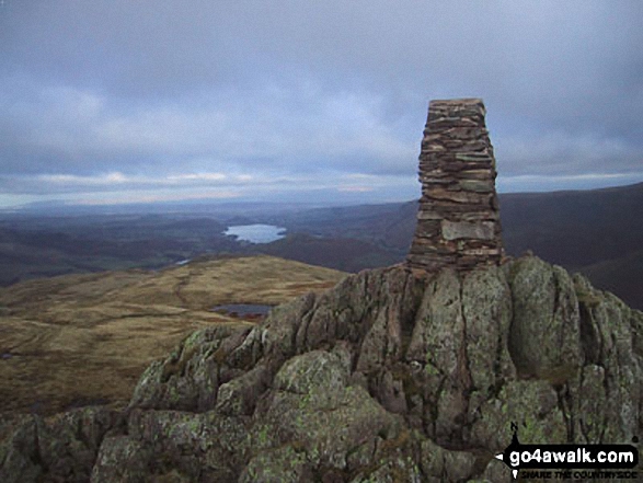
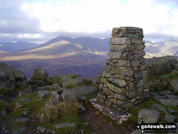
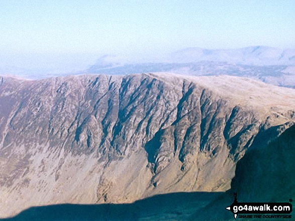
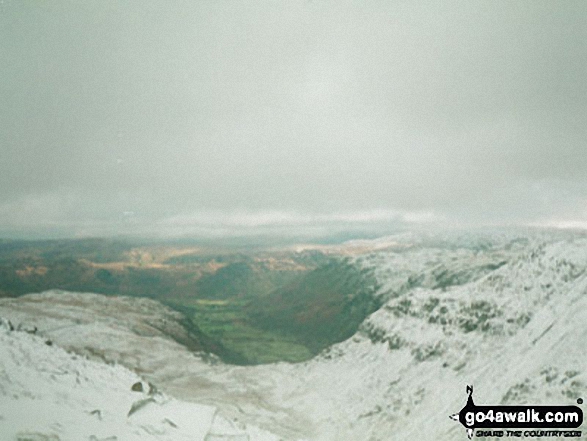
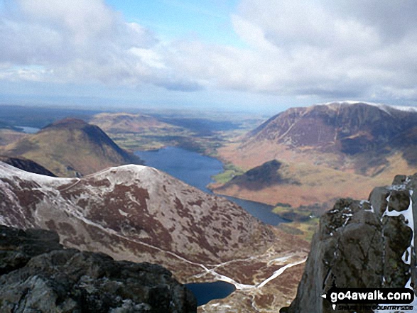
 The view from Scafell Pike in England
Photo: David Cochrane
Is there a Mountain, Peak, Top or Hill missing from the above google map or list?
Let us know an we will add it to our database.

To contribute to go4awalk.com or to contact us about anything at all - see Talk To Us.
For help see Help.
go4awalk.com and go4awalk.co.uk are registered trademarks of TMDH Limited.
Copyright © 2000-2025 TMDH Limited. All rights reserved.
Copyright Terms & Conditions Privacy Statement
A - Z Walks Home Log On/Accounts Photo Gallery Walk Ideas and Collections Fell Facts Hill Skills Walking Questions and Answers Your Stories News Competitions Product Reviews/Gear Tests Walking Gear Guides Peaks and Mountains Peak Bagging Find New Walking Friends Camping GPS Waypoints for Walking Contents Walk Search Talk To Us go4awalk.com Help Free Example Walks Newsletter


