The Southern Dales Area of The Yorkshire Dales National Park - a fully detailed list of all the Mountains, Peaks, Tops and Hills
The Southern Dales Area of The Yorkshire Dales National Park, Cumbria and North Yorkshire is the area:
- Within the National Park south of the A684 from Sedbergh to Leyburn via Hawes, Bainbridge and Aysgarth
If you count only the Nuttalls there are 19 tops to climb, bag & conquer and the highest point is Whernside at 736m (2,416ft).
To see these Mountains, Peaks, Tops and Hills displayed in different ways - see the options in the left-hand column and towards the bottom of this page.
![]() Your Personal Bagging Record for The Southern Dales Area of The Yorkshire Dales
Your Personal Bagging Record for The Southern Dales Area of The Yorkshire Dales
LOG ON and RELOAD this page to show which Mountains, Peaks, Tops and Hills you have already climbed, bagged & conquered [. . . more details]
See this list in: Alphabetical Order
| Height Order‡
To reverse the order select the link again.
Mountain, Peak, Top or Hill:
Bagged

![]()
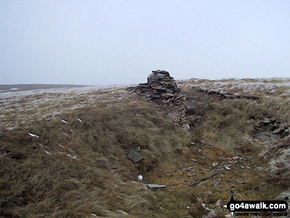
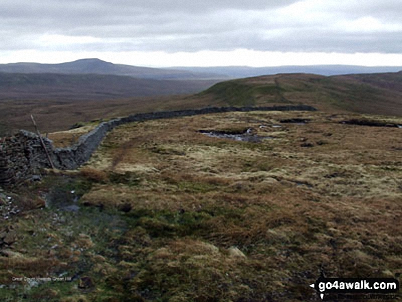
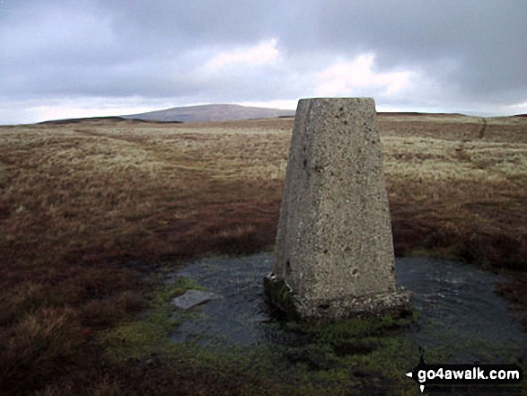
1. Whernside
736m (2,416ft)
Whernside is on interactive maps:
Whernside is on downloadable PDF you can Print or Save to your Phone: |
![]()
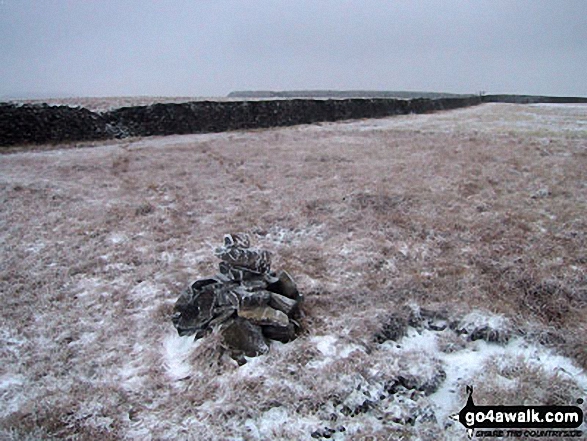
2. Ingleborough
724m (2,375ft)
Ingleborough is on interactive maps:
Ingleborough is on downloadable PDF you can Print or Save to your Phone: |
![]()
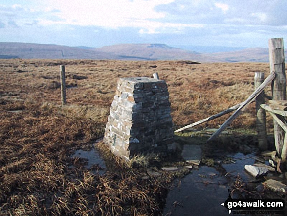
3. Great Whernside
704m (2,310ft)
Great Whernside is on interactive maps:
Great Whernside is on downloadable PDF you can Print or Save to your Phone: |
![]()
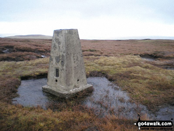
4. Buckden Pike
702m (2,303ft)
Buckden Pike is on interactive maps:
Buckden Pike is on downloadable PDF you can Print or Save to your Phone: |
![]()
5. Pen-y-ghent
694m (2,277ft)
Pen-y-ghent is on interactive maps:
Pen-y-ghent is on downloadable PDF you can Print or Save to your Phone: |
![]()
6. Great Coum
687m (2,254ft)
Great Coum is on interactive maps:
Great Coum is on downloadable PDF you can Print or Save to your Phone: |
![]()
7. Plover Hill
680m (2,231ft)
Plover Hill is on interactive maps:
Plover Hill is on downloadable PDF you can Print or Save to your Phone: |
![]()
8. Great Knoutberry Hill (Widdale Fell)
672m (2,205ft)
Great Knoutberry Hill (Widdale Fell) is on interactive maps:
Great Knoutberry Hill (Widdale Fell) is on downloadable PDF you can Print or Save to your Phone: |
![]()
9. Dodd Fell Hill
668m (2,192ft)
Dodd Fell Hill is on interactive maps:
Dodd Fell Hill is on downloadable PDF you can Print or Save to your Phone: |
![]()
10. Fountains Fell
668m (2,192ft)
Fountains Fell is on interactive maps:
Fountains Fell is on downloadable PDF you can Print or Save to your Phone: |
![]()
11. Fountains Fell (South Top)
663m (2,176ft)
Fountains Fell (South Top) is on interactive maps:
Fountains Fell (South Top) is on downloadable PDF you can Print or Save to your Phone: |
![]()
12. Simon Fell
650m (2,133ft)
Simon Fell is on interactive maps:
Simon Fell is on downloadable PDF you can Print or Save to your Phone: |
![]()
13. Yockenthwaite Moor
643m (2,110ft)
Yockenthwaite Moor is on interactive maps:
Yockenthwaite Moor is on downloadable PDF you can Print or Save to your Phone: |
![]()
14. Green Hill (Gragareth)
628m (2,061ft)
Green Hill (Gragareth) is on interactive maps:
Green Hill (Gragareth) is on downloadable PDF you can Print or Save to your Phone: |
![]()
15. Gragareth
628m (2,060ft)
Gragareth is on interactive maps:
Gragareth is on downloadable PDF you can Print or Save to your Phone: |
![]()
16. Darnbrook Fell
624m (2,047ft)
Darnbrook Fell is on interactive maps:
Darnbrook Fell is on downloadable PDF you can Print or Save to your Phone: |
![]()
17. Drumaldrace (Wether Fell)
614m (2,015ft)
Drumaldrace (Wether Fell) is on interactive maps:
Drumaldrace (Wether Fell) is on downloadable PDF you can Print or Save to your Phone: |
![]()
18. Birks Fell
610m (2,002ft)
Birks Fell is on interactive maps:
Birks Fell is on downloadable PDF you can Print or Save to your Phone: |
![]()
19. Calf Top
609m (2,000ft)
Calf Top is on interactive maps:
Calf Top is on downloadable PDF you can Print or Save to your Phone: |
View these 19 Mountains, Peaks, Tops and Hills:
- On a Downloadable PDF you can Print or Save to your Phone#
- On an Interactive Google Map (loads faster)
- On an Interactive Google Map with a list of tops below it.
(makes it easier to locate a particular top) - On a Detailed List in:
Alphabetical Order | Height Order - On one page with 'yet-to-be-bagged' listed 1st & then 'already-bagged' tops listed 2nd in:
Alphabetical Order | Height Order - On one page with 'already-bagged' tops listed 1st & then 'yet-to-be-bagged' tops listed 2nd in:
Alphabetical Order | Height Order
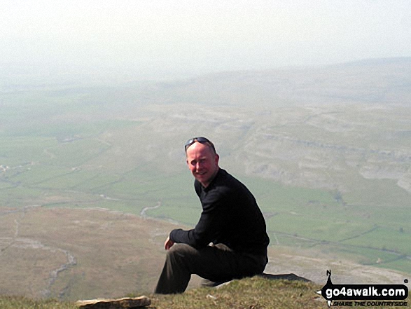
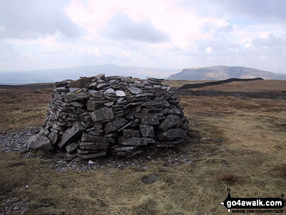
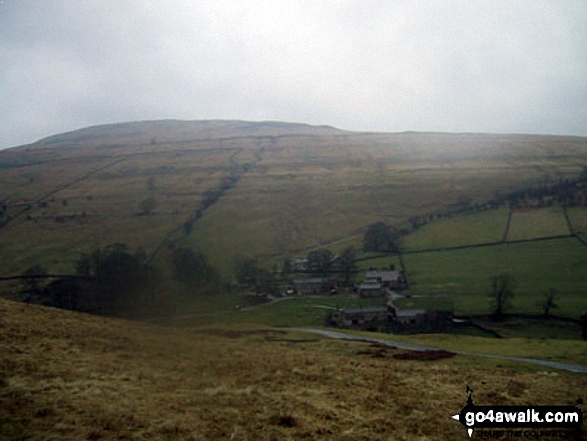
 Whernside in The Southern Dales Area of The Yorkshire Dales
Photo: David Hayter
# Whether you print a copy or download it to your phone, this Peak Baggers' Map will prove incredibly useful if you want to know what's what when you are up in the mountains and cannot get a phone signal.
Is there a Mountain, Peak, Top or Hill missing from the above google map or list?
Let us know an we will add it to our database.
To contribute to go4awalk.com or to contact us about anything at all - see Talk To Us.
For help see Help.
go4awalk.com and go4awalk.co.uk are registered trademarks of TMDH Limited.
Copyright © 2000-2025 TMDH Limited. All rights reserved.
Copyright Terms & Conditions Privacy Statement
A - Z Walks Home Log On/Accounts Photo Gallery Walk Ideas and Collections Fell Facts Hill Skills Walking Questions and Answers Your Stories News Competitions Product Reviews/Gear Tests Walking Gear Guides Peaks and Mountains Peak Bagging Find New Walking Friends Camping GPS Waypoints for Walking Contents Walk Search Talk To Us go4awalk.com Help Free Example Walks Newsletter


