The North West region of England - a fully detailed list of all the Mountains, Peaks, Tops and Hills (Page 6 of 16)
The North West region of England comprises the traditional counties of Cheshire, Cumbria, Greater Manchester, Lancashire and Mersyside and includes The Lake District National Park, The Forest of Bowland, parts of The Yorkshire Dales National Park and parts of the Peak District National Park.
If you include all the Mountains (Hewitts), the Deweys, the Nuttalls, the Marilyns, the Bridgets (Hills) and all the Mountains, Tops, Peaks and Hills with a Trig Point on them there are 464 tops to climb, bag & conquer and the highest point is Scafell Pike at 978m (3,210ft).
To see these Mountains, Peaks, Tops and Hills displayed in different ways - see the options in the left-hand column and towards the bottom of this page.
![]() Your Personal Bagging Record for North West of
Your Personal Bagging Record for North West of
LOG ON and RELOAD this page to show which Mountains, Peaks, Tops and Hills you have already climbed, bagged & conquered [. . . more details]
See this list in: Alphabetical Order‡
| Height Order
To reverse the order select the link again.
Mountain, Peak, Top or Hill:
Bagged

![]()
151. Great Dummacks
663m (2,175ft)
Great Dummacks is on interactive maps:
Great Dummacks is on downloadable PDF you can Print or Save to your Phone: |

![]()
152. Great Dun Fell
848m (2,783ft)
Great Dun Fell is on interactive maps:
Great Dun Fell is on downloadable PDF you can Print or Save to your Phone: |

![]()
153. Great End
910m (2,987ft)
Great End is on interactive maps:
Great End is on downloadable PDF you can Print or Save to your Phone: *Version including the walk routes marked on it that you need to follow to Walk all 214 Wainwrights in just 59 walks. |

![]()
154. Great Gable
899m (2,951ft)
Great Gable is on interactive maps:
Great Gable is on downloadable PDF you can Print or Save to your Phone: *Version including the walk routes marked on it that you need to follow to Walk all 214 Wainwrights in just 59 walks. |

![]()
155. Great Hameldon
409m (1,342ft)
Great Hameldon is on interactive maps:
Great Hameldon is on downloadable PDF you can Print or Save to your Phone: |
![]()
156. Great Hill
381m (1,250ft)
Great Hill is on interactive maps:
Great Hill is on downloadable PDF you can Print or Save to your Phone: |

![]()
157. Great How (Eskdale Fell)
522m (1,713ft)
Great How (Eskdale Fell) is on interactive maps:
Great How (Eskdale Fell) is on downloadable PDF you can Print or Save to your Phone: *Version including the walk routes marked on it that you need to follow to Walk all 214 Wainwrights in just 59 walks. |
![]()
158. Great How (Thirlmere)
333m (1,092ft)
Send it in and we'll publish it here.
Great How (Thirlmere) is on interactive maps:
|

![]()
159. Great Knipe
515m (1,690ft)
Great Knipe is on interactive maps:
Great Knipe is on downloadable PDF you can Print or Save to your Phone: |

![]()
160. Great Knott
695m (2,281ft)
Great Knott is on interactive maps:
Great Knott is on downloadable PDF you can Print or Save to your Phone: *Version including the walk routes marked on it that you need to follow to Walk all 214 Wainwrights in just 59 walks. |

![]()
161. Great Knoutberry Hill (Widdale Fell)
672m (2,205ft)
Great Knoutberry Hill (Widdale Fell) is on interactive maps:
Great Knoutberry Hill (Widdale Fell) is on downloadable PDF you can Print or Save to your Phone: |
![]()
162. Great Lingy Hill
616m (2,022ft)
Great Lingy Hill is on interactive maps:
Great Lingy Hill is on downloadable PDF you can Print or Save to your Phone: *Version including the walk routes marked on it that you need to follow to Walk all 214 Wainwrights in just 59 walks. |

![]()
163. Great Mell Fell
537m (1,762ft)
Great Mell Fell is on interactive maps:
Great Mell Fell is on downloadable PDF you can Print or Save to your Phone: *Version including the walk routes marked on it that you need to follow to Walk all 214 Wainwrights in just 59 walks. |
![]()
164. Great Rigg
766m (2,514ft)
Great Rigg is on interactive maps:
Great Rigg is on downloadable PDF you can Print or Save to your Phone: *Version including the walk routes marked on it that you need to follow to Walk all 214 Wainwrights in just 59 walks. |

![]()
165. Great Stickle (Dunnerdale Fells)
305m (1,001ft)
Great Stickle (Dunnerdale Fells) is on interactive maps:
A downloadable go4awalk.com PDF Peak Bagging Map featuring Great Stickle (Dunnerdale Fells) will be available soon. |
![]()
166. Green Bell
605m (1,985ft)
Green Bell is on interactive maps:
Green Bell is on downloadable PDF you can Print or Save to your Phone: |
![]()
167. Green Crag (Buttermere)
528m (1,732ft)
Green Crag (Buttermere) is on interactive maps:
Green Crag (Buttermere) is on downloadable PDF you can Print or Save to your Phone: *Version including the walk routes marked on it that you need to follow to Walk all 214 Wainwrights in just 59 walks. |
![]()
168. Green Gable
801m (2,629ft)
Green Gable is on interactive maps:
Green Gable is on downloadable PDF you can Print or Save to your Phone: *Version including the walk routes marked on it that you need to follow to Walk all 214 Wainwrights in just 59 walks. |
![]()
169. Green Hill (Gragareth)
628m (2,061ft)
Green Hill (Gragareth) is on interactive maps:
Green Hill (Gragareth) is on downloadable PDF you can Print or Save to your Phone: |
![]()
170. Green Side (White Stones)
795m (2,609ft)
Green Side (White Stones) is on interactive maps:
Green Side (White Stones) is on downloadable PDF you can Print or Save to your Phone: *Version including the walk routes marked on it that you need to follow to Walk all 214 Wainwrights in just 59 walks. |
![]()
171. Grey Crag (Sleddale)
638m (2,094ft)
Grey Crag (Sleddale) is on interactive maps:
Grey Crag (Sleddale) is on downloadable PDF you can Print or Save to your Phone: *Version including the walk routes marked on it that you need to follow to Walk all 214 Wainwrights in just 59 walks. |
![]()
172. Grey Friar
773m (2,536ft)
Grey Friar is on interactive maps:
Grey Friar is on downloadable PDF you can Print or Save to your Phone: *Version including the walk routes marked on it that you need to follow to Walk all 214 Wainwrights in just 59 walks. |
![]()
173. Grey Knotts
697m (2,287ft)
Grey Knotts is on interactive maps:
Grey Knotts is on downloadable PDF you can Print or Save to your Phone: *Version including the walk routes marked on it that you need to follow to Walk all 214 Wainwrights in just 59 walks. |
![]()
174. Grisedale Pike
791m (2,596ft)
Grisedale Pike is on interactive maps:
Grisedale Pike is on downloadable PDF you can Print or Save to your Phone: *Version including the walk routes marked on it that you need to follow to Walk all 214 Wainwrights in just 59 walks. |

![]()
175. Gummer's How
321m (1,054ft)
Gummer's How is on interactive maps:
A downloadable go4awalk.com PDF Peak Bagging Map featuring Gummer's How will be available soon. |

![]()
176. Hail Storm Hill
477m (1,566ft)
Hail Storm Hill is on interactive maps:
Hail Storm Hill is on downloadable PDF you can Print or Save to your Phone: |
![]()
177. Hallin Fell
388m (1,273ft)
Hallin Fell is on interactive maps:
Hallin Fell is on downloadable PDF you can Print or Save to your Phone: *Version including the walk routes marked on it that you need to follow to Walk all 214 Wainwrights in just 59 walks. |
![]()
178. Hampsfell
221m (725ft)
Hampsfell is on interactive maps:
A downloadable go4awalk.com PDF Peak Bagging Map featuring Hampsfell will be available soon. |
![]()
179. Hangingstone Hill (Eddisbury Hill)
176m (577ft)
Hangingstone Hill (Eddisbury Hill) is on interactive maps:
Hangingstone Hill (Eddisbury Hill) is on downloadable PDF you can Print or Save to your Phone: |
![]()
180. Hannah Moor
463m (1,519ft)
Hannah Moor is on interactive maps:
|
View these 464 Mountains, Peaks, Tops and Hills:
- On an Interactive Google Map with a list of tops below it.
(makes it easier to locate a particular top) - On a Detailed List in:
Alphabetical Order | Height Order - On one page with 'yet-to-be-bagged' listed 1st
& then 'already-bagged' tops listed 2nd in:
Alphabetical Order | Height Order - On one page with 'already-bagged' tops listed 1st
& then 'yet-to-be-bagged' tops listed 2nd in:
Alphabetical Order | Height Order
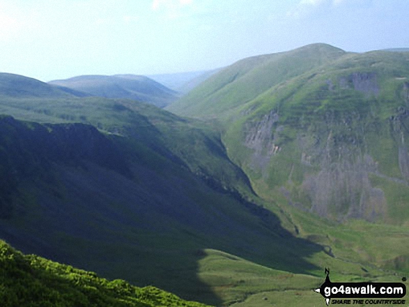
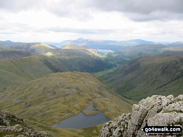
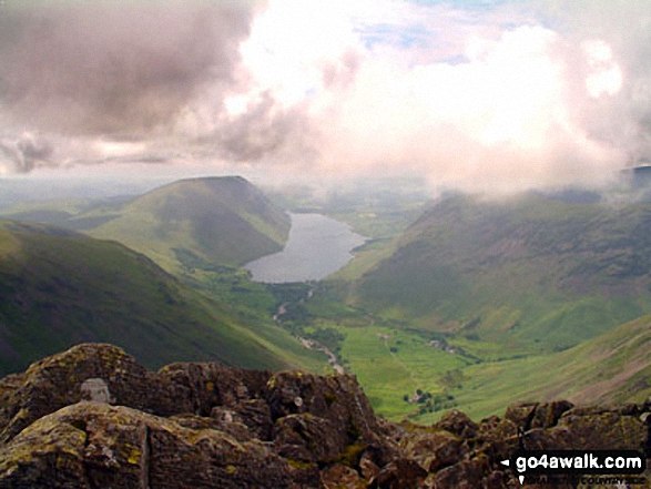
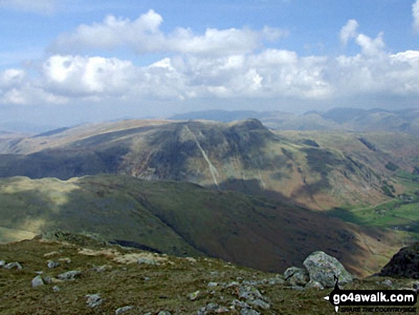
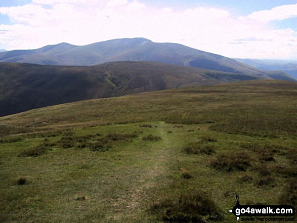
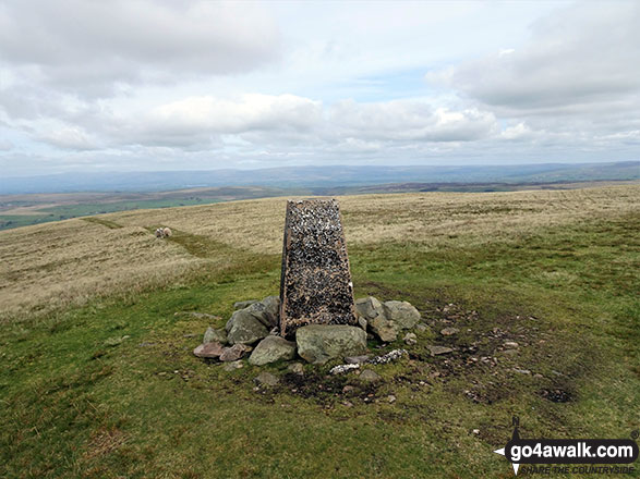
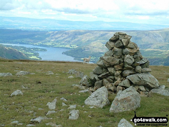
 The view from Scafell Pike in The White Peak Area area of
Photo: David Cochrane
Is there a Mountain, Peak, Top or Hill missing from the above google map or list?
Let us know an we will add it to our database.

To contribute to go4awalk.com or to contact us about anything at all - see Talk To Us.
For help see Help.
go4awalk.com and go4awalk.co.uk are registered trademarks of TMDH Limited.
Copyright © 2000-2026 TMDH Limited. All rights reserved.
Copyright Terms & Conditions Privacy Statement
A - Z Walks Home Log On/Accounts Photo Gallery Walk Ideas and Collections Fell Facts Hill Skills Walking Questions and Answers Your Stories News Competitions Product Reviews/Gear Tests Walking Gear Guides Peaks and Mountains Peak Bagging Find New Walking Friends Camping GPS Waypoints for Walking Contents Walk Search Talk To Us go4awalk.com Help Free Example Walks Newsletter


