
![]()
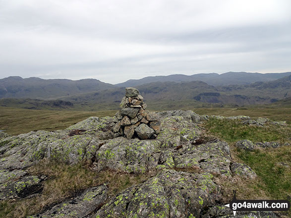
Great How (Eskdale Fell)
522m (1713ft)
The Southern Fells, The Lake District, Cumbria, England
Not familiar with this top?
See Great How (Eskdale Fell) and the surrounding tops on our free-to-access 'Google Style' Peak Bagging Maps:
The Southern Fells of The Lake District National Park
Less data - quicker to download
The Whole of The Lake District National Park
More data - might take a little longer to download
See Great How (Eskdale Fell) and the surrounding tops on our downloadable Peak Bagging Maps in PDF format:

NB: Whether you print off a copy or download it to your phone, these PDF Peak Baggers' Maps might prove incredibly useful when your are up there on the tops and you cannot get a phone signal.
*This version is marked with the walk routes you need to follow to Walk all 214 Wainwrights in just 59 walks.
You can find Great How (Eskdale Fell) & all the walks that climb it on these unique free-to-access Interactive Walk Planning Maps:
1:25,000 scale OS Explorer Map (orange/yellow covers):
1:50,000 scale OS Landranger Maps (pink/magenta covers):
 Fellow go4awalkers who have already walked, climbed, summited & bagged Great How (Eskdale Fell)
Christine Shepherd walked up Great How (Eskdale Fell) on May 25th, 2019 [from/via/route] Walked from Boot to Burnmoor Tarn, then up the North side of Oliver Gill until I crossed it & climbed to the Summit of Raven Crag before traversing the moor reach Great How. Came down the North side of Oliver Gill & then back to Boot. [with] On my own [weather] Dull but clear. - I was going to go down over Dawson's Ground but weather closing in so retraced my steps along the Bridleway.
Tony Rogerson climbed Great How (Eskdale Fell) on July 5th, 2015 [from/via/route] Dalegarth Dawsonground Crags Burnmoor Tarn & Boat How [with] Darren Floss Robbie & Ruby [weather] High cloud
To add (or remove) your name and experiences on this page - Log On and edit your Personal Mountain Bagging Record
More Photographs & Pictures of views from, on or of Great How (Eskdale Fell)
Send us your photographs and pictures on, of, or from Great How (Eskdale Fell)
If you would like to add your walk photographs and pictures featuring views from, on or of Great How (Eskdale Fell) to this page, please send them as email attachments (configured for any computer) along with your name to:
and we shall do our best to publish them.
(Guide Resolution = 300dpi. At least = 660pixels (wide) x 440 pixels (high).)

You can also submit photos via our Facebook Page.
NB. Please indicate where each photo was taken and whether you wish us to credit your photos with a Username or your First Name/Last Name.
Not familiar with this top?


