
![]()
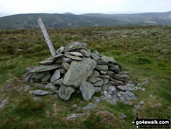
Moel y Cerrig Duon
625m (2051ft)
The Berwyns Area, Snowdonia, Gwynedd/Powys, Wales
Not familiar with this top?
   |
|---|
Vital Statistics:
| Length: | 11ml (17.5km) |
|---|---|
| Ascent: | 2,839ft (865m) |
| Time: | 6.75hrs |
| Grade: |  (Hard) (Hard) |
Route Summary:
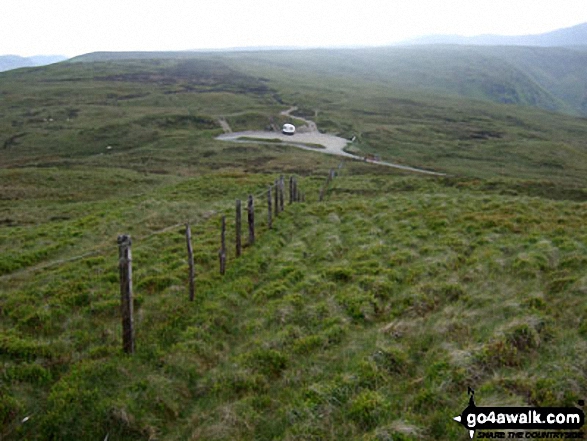
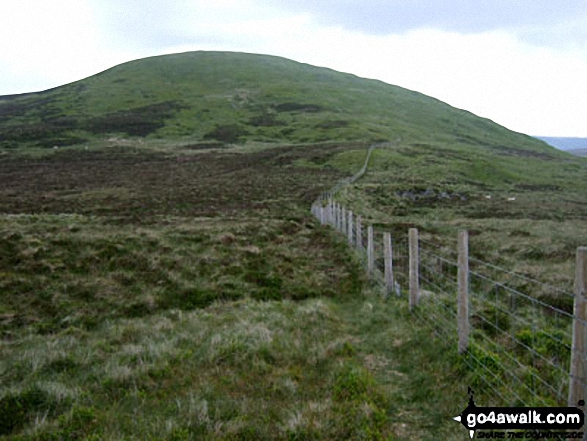
Bwlch y Groes - Gwaun Yr Hen-Luest - Clipiau-Duon - Llechwedd Du (Arans) - Afon Twrch - Foel Rhudd - Esgeiriau Gwynion - Bwlch Sirddyn - Foel Hafod-fynydd - Creiglyn Dyfi - Llaethnant - Ceunant y Briddell - Pen y Craig - Natn Llewlyn-goch - Blaen-pennant - Afon Rhiwlech - Foel y Groes - Moel y Cerrig Duon - Bwlch y Groes
See Moel y Cerrig Duon and the surrounding tops on our free-to-access 'Google Style' Peak Bagging Maps:
The Berwyns of Snowdonia National Park
Less data - quicker to download
The Whole of Snowdonia National Park
More data - might take a little longer to download
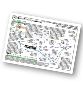
See Moel y Cerrig Duon and the surrounding tops on our downloadable Peak Bagging Map in PDF format:

NB: Whether you print off a copy or download it to your phone, this PDF Peak Baggers' Map might prove incredibly useful when your are up there on the tops and you cannot get a phone signal.
You can find Moel y Cerrig Duon & all the walks that climb it on these unique free-to-access Interactive Walk Planning Maps:
1:25,000 scale OS Explorer Map (orange/yellow covers):
1:50,000 scale OS Landranger Map (pink/magenta covers):
 Fellow go4awalkers who have already walked, climbed, summited & bagged Moel y Cerrig Duon
Christina Lander walked up Moel y Cerrig Duon on July 6th, 2024 [from/via/route] Bwlch y Groes - Foel y Groes - Moel y Cerrig Duon - Bwlch y Groes [with] Dick [weather] Partly sunny & quite windy
Donovan Suddell climbed Moel y Cerrig Duon on March 26th, 2022 [with] wife and grandson [weather] beautiful sunny morning.
Mark Davidson bagged Moel y Cerrig Duon on June 4th, 2009 [with] Alone [weather] Lovely & sunny - fantastic views
Robert Taylor-Marriott hiked Moel y Cerrig Duon on April 11th, 2014 [from/via/route] Route 56: Waun Camddwr. Gwaun Llwyni. Gwaun Lydon. Moel y Cerrig Duon. Aran Fawddwy. (WGA). [with] Vince Wetton, Adam and Robert Taylor-Marriott. [weather] Sunny.
Vince Wetton summited Moel y Cerrig Duon on April 25th, 2014 [from/via/route] GW157 [with] RTM [weather] Overcast turned to rain
Paul Booth and Trevor Williams have both walked, climbed & bagged Moel y Cerrig Duon.
To add (or remove) your name and experiences on this page - Log On and edit your Personal Mountain Bagging Record
More Photographs & Pictures of views from, on or of Moel y Cerrig Duon
Send us your photographs and pictures on, of, or from Moel y Cerrig Duon
If you would like to add your walk photographs and pictures featuring views from, on or of Moel y Cerrig Duon to this page, please send them as email attachments (configured for any computer) along with your name to:
and we shall do our best to publish them.
(Guide Resolution = 300dpi. At least = 660pixels (wide) x 440 pixels (high).)

You can also submit photos via our Facebook Page.
NB. Please indicate where each photo was taken and whether you wish us to credit your photos with a Username or your First Name/Last Name.
Not familiar with this top?


