
![]()
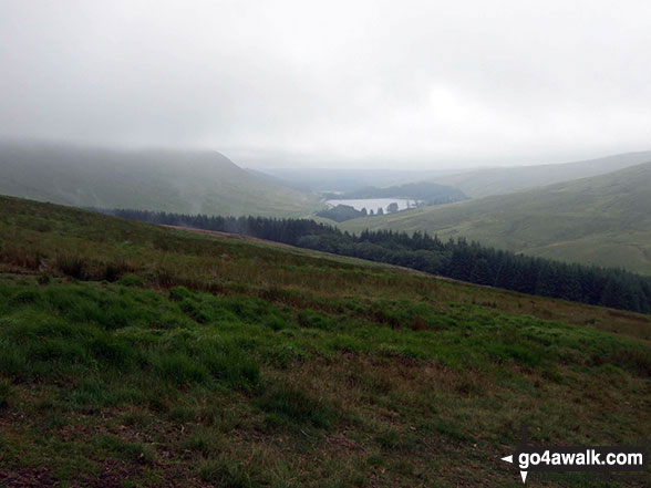
Y Gyrn
619m (2032ft)
The Brecon Beacons Area, The Brecon Beacons, Powys, Wales
Not familiar with this top?
   |
|---|
Vital Statistics:
| Length: | 5ml (8km) |
|---|---|
| Ascent: | 1,736ft (529m) |
| Time: | 3.75hrs |
| Grade: |  (Moderate) (Moderate) |
Route Summary:
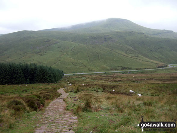
The Storey Arms Outdoor Centre - Y Gyrn - Tommy Jones Obelisk - Craig Cwm Llwch - Corn Du - Pen y Fan - (Penyfan) - Bwlch Duwynt - Craig Gwaun Taf (Bwlch Duwynt) - Blaen Taf Fawr - The Storey Arms Outdoor Centre
|
|---|
Vital Statistics:
| Length: | 5.25ml (8.5km) |
|---|---|
| Ascent: | 1,736ft (529m) |
| Time: | 3.75hrs |
| Grade: | (Moderate) |
Route Summary:
The Storey Arms Outdoor Centre - Y Gyrn - Tommy Jones Obelisk - Craig Cwm Llwch - Corn Du - Pen y Fan - (Penyfan) - Bwlch Duwynt - Craig Gwaun Taf (Bwlch Duwynt) - Blaen Taf Fawr - The Storey Arms Outdoor Centre
See Y Gyrn and the surrounding tops on our free-to-access 'Google Style' Peak Bagging Maps:
The Brecon Beacons Area of Bannau Brycheiniog (The Brecon Beacons National Park)
Less data - quicker to download
The Whole of Bannau Brycheiniog (The Brecon Beacons National Park)
More data - might take a little longer to download
See Y Gyrn and the surrounding tops on our downloadable Peak Bagging Map in PDF format:

NB: Whether you print off a copy or download it to your phone, this PDF Peak Baggers' Map might prove incredibly useful when your are up there on the tops and you cannot get a phone signal.
You can find Y Gyrn & all the walks that climb it on these unique free-to-access Interactive Walk Planning Maps:
1:25,000 scale OS Explorer Map (orange/yellow covers):
1:50,000 scale OS Landranger Map (pink/magenta covers):
 Fellow go4awalkers who have already walked, climbed, summited & bagged Y Gyrn
Melfyn Parry walked up Y Gyrn on September 12th, 2025 [from/via/route] Followed route PO112 & then rather than tab down the Taffs Trail I headed up to Y Gyrn (to bag another Nuttall) & then rejoined the Taffs Trail lower down to finish the route this extended the walk to 10 miles. [with] On my own [weather] Only one spell of heavy rain otherwise a dry, breezy day.
Mark Davidson climbed Y Gyrn on July 11th, 2009 [from/via/route] Walk po158 Pen y Fan from The Storey Arms Outdoor Centre [with] Alone [weather] Bit grey really
Sion Britton bagged Y Gyrn on April 29th, 2021 [from/via/route] O Maes Parcio Storey Arms [with] Solo [weather] Cymylog
David Buckley hiked Y Gyrn on June 20th, 1991 [with] Julie, Hayley & Carlie [weather] Sunny/Cloudy
Christina Lander summited Y Gyrn on March 12th, 2014 [from/via/route] Storey Arms - Corn Du - Pen y Fan - Y Gyrn - Storey Arms [with] Alethea [weather] Lovely sunny day
Tim Buckley conquered Y Gyrn on December 29th, 2013 [from/via/route] From Storey Arms left hand path en route to Corn Du & Pen y fan [with] Esther [weather] Cold, ice & snow on the ground at high level - Y Gyrn!!! Surprised its a named summit although it appears on the OS map. Most people including me walk through it on the way to Corn Du - anyway done!
Elen Newcombe-ling, Matthew Thomas, Michael Rygol, Richard Penney and Ray O'hara have all walked, climbed & bagged Y Gyrn.
To add (or remove) your name and experiences on this page - Log On and edit your Personal Mountain Bagging Record
More Photographs & Pictures of views from, on or of Y Gyrn
Send us your photographs and pictures on, of, or from Y Gyrn
If you would like to add your walk photographs and pictures featuring views from, on or of Y Gyrn to this page, please send them as email attachments (configured for any computer) along with your name to:
and we shall do our best to publish them.
(Guide Resolution = 300dpi. At least = 660pixels (wide) x 440 pixels (high).)

You can also submit photos via our Facebook Page.
NB. Please indicate where each photo was taken and whether you wish us to credit your photos with a Username or your First Name/Last Name.
Not familiar with this top?


