46 easy-to-follow circular walks in Highland

Forty-six easy-to-follow hand-crafted circular walks, routes & maps in Highland of all grades in Walk Grade Order


Not familiar with Highland?

See these 46 walks in Highland on an interactive Google Map


See this list of walks, routes & maps in:

Grade Order | Length Order | Time Order | Walk Number or Start Location Order
NB. To reverse (toggle) this order, click Grade Order again


Walk 1 Walking Bootprint Icon

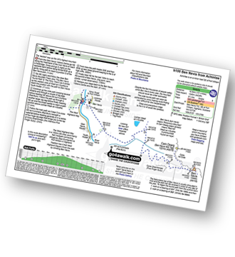
Walk h100 Ben Nevis via The Tourist Path from Achintee, Fort William

The tourist route up the UK's Highest Mountain

Vital Statistics:

Length:10.25 miles (16.5 km)
Ascent:4,424 ft (1,348 m)
Time:8½ hrs
Grade:(Hard)
Walk 2 Walking Bootprint Icon

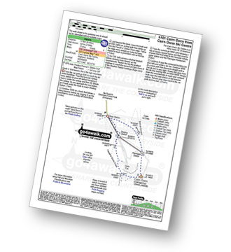
Walk h101 Cairn Gorm from Cairn Gorm Ski Centre

Grade 4. But beware, this is the high mountains

Vital Statistics:

Length:4 miles (6.5 km)
Ascent:2,104 ft (641 m)
Time:3.75hrs
Grade:(Moderate)
Walk 3 Walking Bootprint Icon

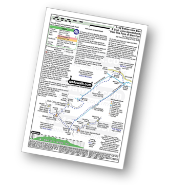
Walk h102 Bidean nam Bian and Stob Coire Sgreamhach

2 Munros and 4 Murdos (Munro Tops)

Vital Statistics:

Length:9.5 miles (15 km)
Ascent:6,173 ft (1,881 m)
Time:10 hrs
Grade:(Hard)
Walk 4 Walking Bootprint Icon

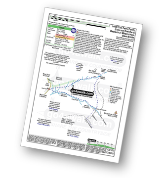
Walk h108 The Fairy Pools, Coire ba Creiche and Bealch a' Mhaim from Glen Brittle, Isle of Skye

A taste of the Cuillins

Vital Statistics:

Length:5 miles (8 km)
Ascent:1,089 ft (332 m)
Time:3 hrs
Grade:(Moderate)
Walk 5 Walking Bootprint Icon

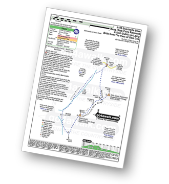
Walk h109 Stob Coire Raineach (Buachaille Etive Beag) and Buachaille Etive Beag (Stob Dubh) via Lairig Eilde from The Pass of Glencoe

Superb ridge walk

Vital Statistics:

Length:6.5 miles (10.5 km)
Ascent:3,318 ft (1,011 m)
Time:6 hrs
Grade:(Moderate)
Walk 6 Walking Bootprint Icon

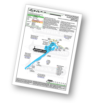
Walk h112 Torran Glubhals and Loch Shiel from Glenfinnan

Superb lake and mountain views

Vital Statistics:

Length:6 miles (9.5 km)
Ascent:712 ft (217 m)
Time:3 hrs
Grade:(Easy)
Walk 7 Walking Bootprint Icon

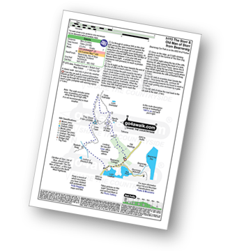
Walk h115 The Storr and Old Man of Storr from Bearreraig, Isle of Skye

A classic walk - but only in good weather

Vital Statistics:

Length:5 miles (8 km)
Ascent:2,310 ft (704 m)
Time:4.25hrs
Grade:(Hard)
Walk 8 Walking Bootprint Icon

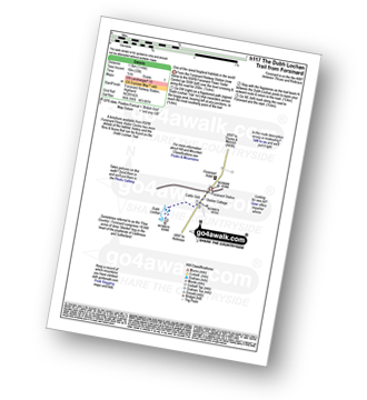
Walk h117 The Dubh Lochan Trail from Forsinard

One of the rarest bogland habitat in the world!

Vital Statistics:

Length:1 miles (1.5 km)
Ascent:33 ft (10 m)
Time:0½ hrs
Grade:(Easy)
Walk 9 Walking Bootprint Icon

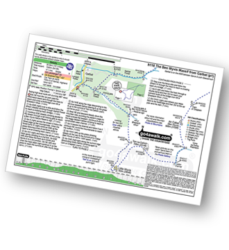
Walk h118 The Ben Wyvis Massif from Garbat

Testing high level route with stunning 360º views

Vital Statistics:

Length:16.5 miles (26.5 km)
Ascent:5,415 ft (1,045 m)
Time:11½ hrs
Grade:(Very Hard)

Not familiar with Highland?

See these 46 walks in Highland on an interactive Google Map


Walk 10 Walking Bootprint Icon

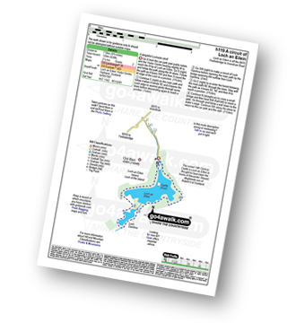
Walk h119 A circuit of Loch an Eilein, Rothiemurchus

A delightful Lochside stroll

Vital Statistics:

Length:4.75 miles (7.5 km)
Ascent:197 ft (60 m)
Time:2 hrs
Grade:(Easy)
Walk 11 Walking Bootprint Icon

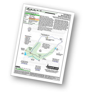
Walk h121 Meall a' Bhuachaille from Glenmore Forest Park Visitors Centre

Ascent to superb views

Vital Statistics:

Length:5.25 miles (8.5 km)
Ascent:1,666 ft (508 m)
Time:3.75hrs
Grade:(Moderate)
Walk 12 Walking Bootprint Icon

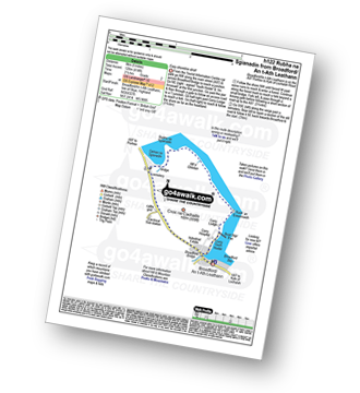
Walk h122 Rubha na Sgianadin from Broadford/ An t-Ath Leathann, Isle of Skye

Easy shoreside stroll

Vital Statistics:

Length:5 miles (8 km)
Ascent:414 ft (126 m)
Time:2½ hrs
Grade:(Easy)
Walk 13 Walking Bootprint Icon

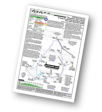
Walk h125 Stob Coire an t-Sneachda (Cairn Gorm), Cairn Lochan and Creag an Leth-choin (Lurcher's Crag) from Cairn Gorm Ski Centre

Superb views over the northern corries from Cairn Gorm Ski Centre

Vital Statistics:

Length:7.25 miles (11.5 km)
Ascent:2,609 ft (795 m)
Time:5.25hrs
Grade:(Moderate)
Walk 14 Walking Bootprint Icon

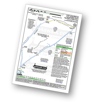
Walk h127 Lairig Eilde and Lairig Gartain from The Pass of Glencoe

Spectacular scenery without the climbs

Vital Statistics:

Length:9.25 miles (14.5 km)
Ascent:2,194 ft (669 m)
Time:5½ hrs
Grade:(Moderate)
Walk 15 Walking Bootprint Icon

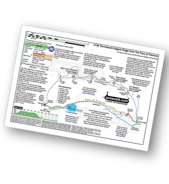
Walk h128 Aonach Eagach from Pass of Glen Coe

The finest ridge walk in mainland Britain - but not for the faint hearted

Vital Statistics:

Length:7.75 miles (12.5 km)
Ascent:4,270 ft (1,301 m)
Time:7.25hrs
Grade:(Hard)
Walk 16 Walking Bootprint Icon

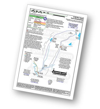
Walk h129 Ben Hope from Muiseal, Strath More

The ‘easiest' way up Scotland's most northerly Munro

Vital Statistics:

Length:7.25 miles (11.5 km)
Ascent:3,086 ft (941 m)
Time:5½ hrs
Grade:(Moderate)
Walk 17 Walking Bootprint Icon

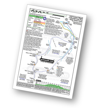
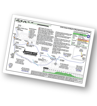
Walk h132 Creise and Meall a' Bhuiridh from The Kings House Hotel

Good navigation skills needed in mist

Vital Statistics:

Length:10.25 miles (16.5 km)
Ascent:3,929 ft (1,197 m)
Time:7.75hrs
Grade:(Hard)
Walk 18 Walking Bootprint Icon

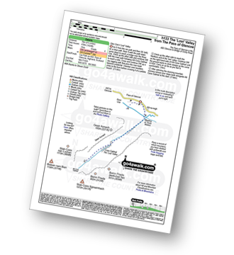
Walk h133 Coire Gabhail a.k.a. The 'Lost Valley' of Glen Coe

Glen Coe's 'Lost' Valley

Vital Statistics:

Length:5 miles (8 km)
Ascent:1,004 ft (306 m)
Time:3 hrs
Grade:(Easy)
Walk 19 Walking Bootprint Icon

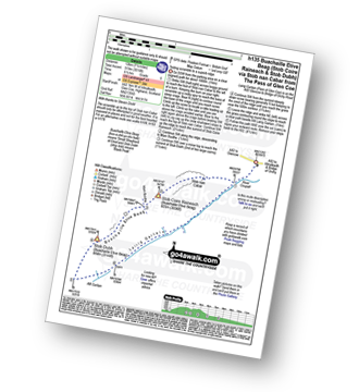
Walk h135 Stob Coire Raineach (Buachaille Etive Beag) and Buachaille Etive Beag (Stob Dubh) via Stob nan Cabar from The Pass of Glencoe

Testing scramble to a superb ridge

Vital Statistics:

Length:7.5 miles (12 km)
Ascent:3,016 ft (919 m)
Time:6½ hrs
Grade:(Moderate)

Not familiar with Highland?

See these 46 walks in Highland on an interactive Google Map


Walk 20 Walking Bootprint Icon

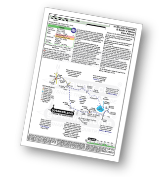
Walk h136 Loch Sneosdal and Suidh' a' Mhinn from Kilmuir, Isle of Skye

Superb views of The Outer Hebrides

Vital Statistics:

Length:5 miles (8 km)
Ascent:1,299 ft (396 m)
Time:3.25hrs
Grade:(Moderate)
Walk 21 Walking Bootprint Icon

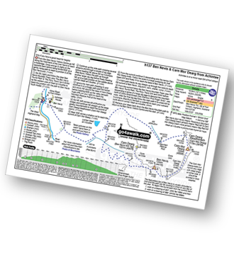
Walk h137 Ben Nevis and Carn Mor Dearg from Achintee, Fort William

A different side of the UK's Highest Mountain - not for the faint hearted

Vital Statistics:

Length:12.25 miles (19.5 km)
Ascent:5,333 ft (1,625 m)
Time:10 hrs
Grade:(Very Hard)
Walk 22 Walking Bootprint Icon

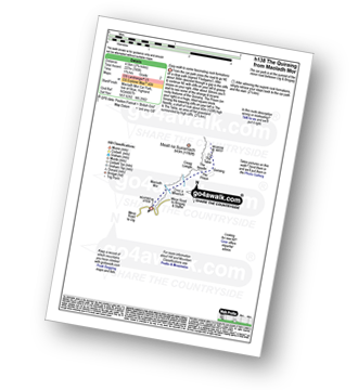
Walk h138 The Quiraing from Maoladh Mor, Isle of Skye

Easy walk to some fascinating rock formations

Vital Statistics:

Length:2.75 miles (4.5 km)
Ascent:745 ft (227 m)
Time:1.75hrs
Grade:(Easy)
Walk 23 Walking Bootprint Icon

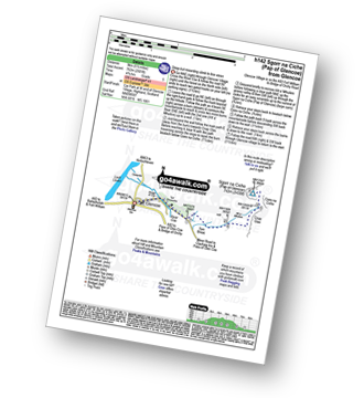
Walk h142 Sgorr na Ciche (Pap of Glencoe) from Glencoe Village

Steep but rewarding ascent to fine views

Vital Statistics:

Length:5.5 miles (9 km)
Ascent:2,501 ft (762 m)
Time:5.75hrs
Grade:(Moderate)
Walk 24 Walking Bootprint Icon

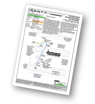
Walk h143 Buachaille Etive Mor (Stob Dearg) from Altnafeadh, The Pass of Glen Coe

Munro 109

Vital Statistics:

Length:4.25 miles (6.5 km)
Ascent:2,491 ft (759 m)
Time:4 hrs
Grade:(Moderate)
Walk 25 Walking Bootprint Icon

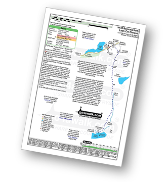
Walk h149 Boreraig from Loch Cill Chriosd, Isle of Skye

A walk to a 19th Century ruined village

Vital Statistics:

Length:6.25 miles (10 km)
Ascent:1,158 ft (353 m)
Time:3½ hrs
Grade:(Moderate)
Walk 26 Walking Bootprint Icon

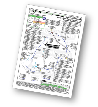
Walk h152 Cnap Coire na Spreidhe, Cairn Gorm and Creag an Leth-choin (Lurcher's Crag) from Cairn Gorm Ski Centre

Superb views over the northern corries from Cairn Gorm Ski Centre

Vital Statistics:

Length:8.75 miles (14 km)
Ascent:3,036 ft (925 m)
Time:6.25hrs
Grade:(Moderate)
Walk 27 Walking Bootprint Icon

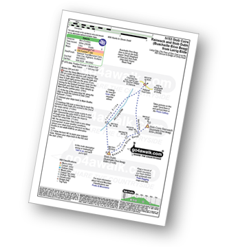
Walk h153 Stob Coire Raineach (Buachaille Etive Beag) and Buachaille Etive Beag (Stob Dubh) from the Pass of Glencoe

Munros 200 and 263

Vital Statistics:

Length:5 miles (8 km)
Ascent:2,983 ft (909 m)
Time:5 hrs
Grade:(Moderate)
Walk 28 Walking Bootprint Icon

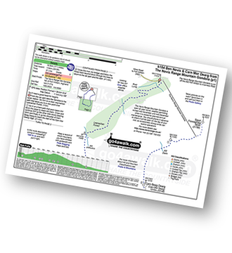
Walk h154 Ben Nevis and Carn Mor Dearg from The Nevis Range Mountain Gondola

You'll need a good head for heights on the CMD arete

Vital Statistics:

Length:11.5 miles (18.5 km)
Ascent:3,919 ft (1,194 m)
Time:8½ hrs
Grade:(Hard)
Walk 29 Walking Bootprint Icon

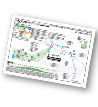
Walk h156 Bynack Mor and A' Choinneach from Glenmore Lodge

Munro 52 and The Cairngorms' most northerly

Vital Statistics:

Length:15 miles (24 km)
Ascent:3,052 ft (930 m)
Time:8½ hrs
Grade:(Hard)

Not familiar with Highland?

See these 46 walks in Highland on an interactive Google Map


Walk 30 Walking Bootprint Icon

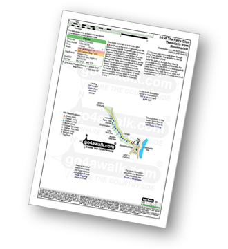
Walk h158 The Fairy Glen Waterfalls from Rosemarkie, The Black Isle

Two lovely waterfalls in a wooded glen

Vital Statistics:

Length:2.5 miles (4 km)
Ascent:407 ft (124 m)
Time:1½ hrs
Grade:(Easy)
Walk 31 Walking Bootprint Icon

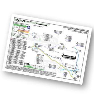
Walk h161 Beinn a' Chrulaiste from Altnafeadh, The Pass of Glen Coe

Straight forward walk to superb views

Vital Statistics:

Length:6.5 miles (10.5 km)
Ascent:2,227 ft (679 m)
Time:4½ hrs
Grade:(Moderate)
Walk 32 Walking Bootprint Icon

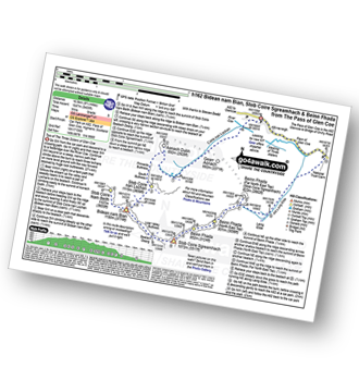
Walk h162 Bidean nam Bian, Stob Coire Sgreamhach and Bein Fhada

The highest point in what was 'Argyll'

Vital Statistics:

Length:9.75 miles (16.5 km)
Ascent:5,405 ft (1,647 m)
Time:9 hrs
Grade:(Hard)
Walk 33 Walking Bootprint Icon

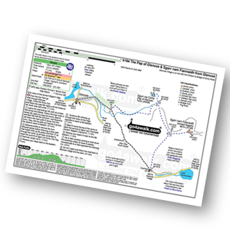
Walk h164 The Pap of Glencoe and Sgorr nam Fiannaidh from Glencoe Village

Fine views of the Aonach Eagach ridge

Vital Statistics:

Length:8.75 miles (14 km)
Ascent:4,040 ft (1,231 m)
Time:7.25hrs
Grade:(Hard)
Walk 34 Walking Bootprint Icon

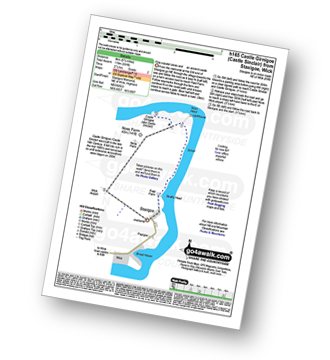
Walk h165 Castle Girnigoe (Castle Sinclair) from Staxigoe near Wick

Fine coastal views and an ancient castle

Vital Statistics:

Length:5.5 miles (9 km)
Ascent:391 ft (119 m)
Time:2½ hrs
Grade:(Easy)
Walk 35 Walking Bootprint Icon

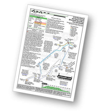
Walk h174 Buachaille Etive Mor (Stob Dearg) and Stob na Doire (Buachaille Etive Mor) from from Altnafeadh, The Pass of Glen Coe

One of the best walks you'll do this year

Vital Statistics:

Length:8.25 miles (13 km)
Ascent:3,814 ft (1,162 m)
Time:7 hrs
Grade:(Hard)
Walk 36 Walking Bootprint Icon

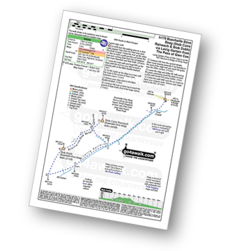
Walk h179 Stob Coire Raineach (Buachaille Etive Beag) and Buachaille Etive Beag (Stob Dubh) via Lairig Gartain from The Pass of Glencoe

Superb ridge walk

Vital Statistics:

Length:8.25 miles (13 km)
Ascent:2,993 ft (912 m)
Time:6 hrs
Grade:(Moderate)
Walk 37 Walking Bootprint Icon

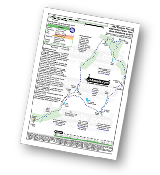
Walk h182 Ryvoan Pass and Abernethy Forest from Glenmore Lodge

Delightful Forest Circuit

Vital Statistics:

Length:11 miles (17.5 km)
Ascent:1,159 ft (353 m)
Time:5 hrs
Grade:(Moderate)
Walk 38 Walking Bootprint Icon

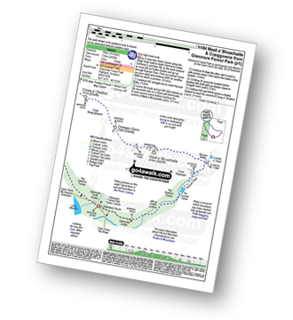
Walk h184 Meall a' Bhuachaille and Craiggowrie from Glenmore Forest Park

Fine high level route

Vital Statistics:

Length:10 miles (16 km)
Ascent:2,425 ft (739 m)
Time:6 hrs
Grade:(Moderate)
Walk 39 Walking Bootprint Icon

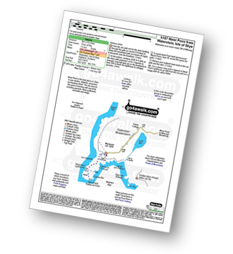
Walk h187 Neist Point from Waterstein, Isle of Skye

The best place on Skye to see whales, dolphins, porpoises and basking shark

Vital Statistics:

Length:1.75 miles (3 km)
Ascent:436 ft (133 m)
Time:1½ hrs
Grade:(Easy)

Not familiar with Highland?

See these 46 walks in Highland on an interactive Google Map


Walk 40 Walking Bootprint Icon

Walk h193 Creise and Meall a' Bhuiridh from A82 at Lochan na Stainge

Good navigation skills needed in mist

Vital Statistics:

Length:12.25 miles (19.5 km)
Ascent:4,322 ft (1,317 m)
Time:8.75hrs
Grade:(Hard)
Walk 41 Walking Bootprint Icon

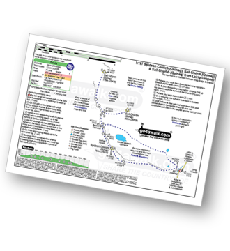
Walk h197 Spidean Coinich (Quinag), Sail Ghorm (Quinag) and Sail Gharbh (Quinag) from Lairig Unapool

Fantastic panoramic views

Vital Statistics:

Length:8.75 miles (14 km)
Ascent:4,050 ft (1,234 m)
Time:7½ hrs
Grade:(Hard)
Walk 42 Walking Bootprint Icon

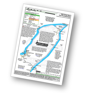
Walk h204 Tarbat Ness from Portmahomack

Fine, wild coastal walk

Vital Statistics:

Length:8.5 miles (13.5 km)
Ascent:571 ft (174 m)
Time:3.75hrs
Grade:(Easy)
Walk 43 Walking Bootprint Icon

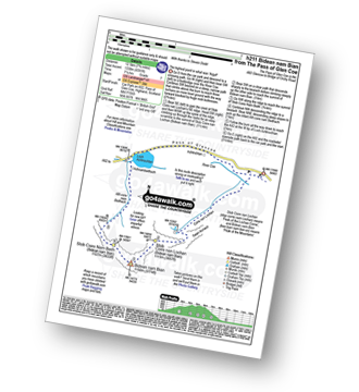
Walk h211 Bidean nam Bian from Pass of Glen Coe

The highest point in what was 'Argyll'

Vital Statistics:

Length:7.75 miles (12.5 km)
Ascent:4,391 ft (1,338 m)
Time:7.25hrs
Grade:(Hard)
Walk 44 Walking Bootprint Icon

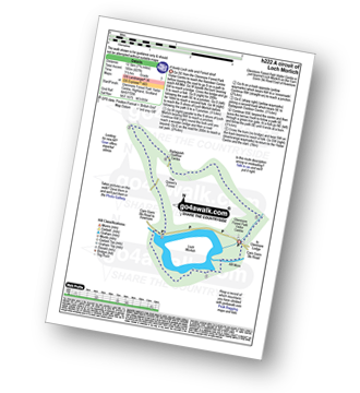
Walk h222 A circuit of Loch Morlich

A lovely Loch side and Forest stroll

Vital Statistics:

Length:8.25 miles (13 km)
Ascent:745 ft (244 m)
Time:3.75hrs
Grade:(Moderate)
Walk 45 Walking Bootprint Icon

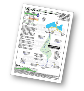
Walk h223 Sgorr Dhearg, The Beinn a' Bheithir Ridge and Sgorr Dhonuill from South Ballachulish

Superb views

Vital Statistics:

Length:7.75 miles (12.5 km)
Ascent:4,175 ft (1,272 m)
Time:7.25hrs
Grade:(Hard)
Walk 46 Walking Bootprint Icon

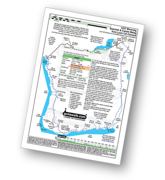
Walk h237 Boreraig, Suisnish and Camas Malag from Loch Cill Chriosd, Isle of Skye

Ruined villages & fine views of The Cuillin Hills

Vital Statistics:

Length:10.75 miles (17 km)
Ascent:4,398 ft (426 m)
Time:5.25hrs
Grade:(Moderate)

See this list of walks, routes & maps in:

Grade Order | Length Order | Time Order | Walk Number or Start Location Order
NB. To reverse (toggle) this order, click Grade Order again


Follow go4awalk.com on Twitter Follow go4awalk.com on Facebook


Home


Find new Friends to go walking with

Walk all 214 Wainwrights in just 59 Walks. Download GPS Waypoints - Great Walks you must not miss!

Walk The Yorkshire Three Peaks Challenge Walk - All the Latest Route Information, GPS Waypoints and Split Times to keep you on Schedule

Walk The British Three Peaks Challenge Walk - All the Latest Route Information and GPS Waypoints

See our pick of The Best Walks in The Lake District - Great Walks you must not miss!

Walk our pick of the Best Lake District Ridge Walks - Great Walks you must not miss!

Walk our pick of the Best Lake District Walks to do in the rain - Great Walks you must not miss!
Walk our pick of The Best Walks in Snowdonia - Great Walks you must not miss!
Walk our pick of The Best Ridge Walks in Wales - Walks you must not miss!
Walk our pick of The Best Walks in The Brecon Beacons - Great Walks you must not miss!

Walk our pick of The Best Walks in The Yorkshire Dales - Walks you must not miss!

Walk our pick of The Best Walks in The Peak District - Walks you must not miss!

Walk our pick of The Best Walks in The Forest of Bowland - Walks you must not miss!

Walk our pick of The Best Walks in Shropshire - Walks you must not miss!

Walk our pick of The Best Walks in Cheshire - Walks you must not miss!

Walk our pick of The Best Walks in Lancashire - Walks you must not miss!

Not sure where to walk next? Try Peak Bagging - Great Walks you must not miss!

Not sure where to walk next? Walk part of a National Trail - Great Walks you must not miss!

Walks with Downloadable and Uploadable GPS Waypoint Data

Walking Kit and Gear Tested by Walkers

Full Site Search