17 easy-to-follow circular walks in Gloucestershire
Seventeen easy-to-follow hand-crafted circular walks, routes & maps in Gloucestershire of all grades in Walk Grade Order
See this list of walks, routes & maps in:
Grade Order | Length Order | Time Order | Walk Number or Start Location Order
NB. To reverse (toggle) this order, click Grade Order again
   |
Vital Statistics:
| Length: | 10 miles (16 km) |
| Ascent: | 2,335ft (712m) |
| Time: | 6 hrs |
| Grade: |  |
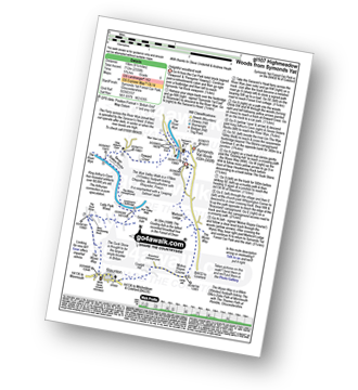
Route Summary:
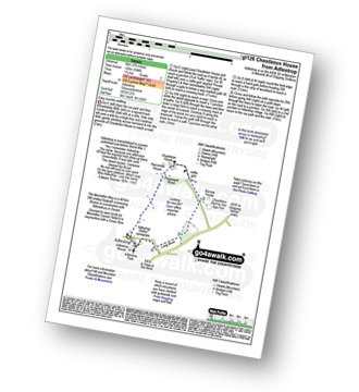
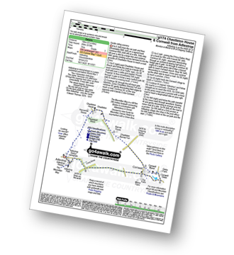
Symonds Yat - Symonds Yat Rock - Saracen's Head Ferry - The River Wye - King Arthur's Cave - Seven Sisters Rocks - The Wye Valley Walk - The Biblins - The Gosling Ash - Near Hearkening Rock - The Suck Stone - Staunton (Coleford) - Braceland - Motiva Ropes Course - Symonds Yat
|
Vital Statistics:
| Length: | 9 miles (14.5 km) |
| Ascent: | 801ft (244m) |
| Time: | 4.25hrs |
| Grade: |  |
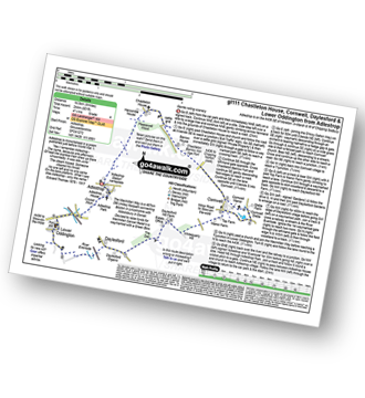
Route Summary:
Adlestrop - The Macmillan Way - Chastleton - Chastleton House - Chastleton Barrow Iron Age Fort - Cornwell - Daylesford - The Macmillan Way - Lower Oddington - Adlestrop Park - Adlestrop
|
Vital Statistics:
| Length: | 9 miles (14.5 km) |
| Ascent: | 754ft (230m) |
| Time: | 4 hrs |
| Grade: | |
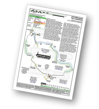
Route Summary:
Chedworth - Woodlands Farm - Postcombe - Withington Woods - Withington - River Coln - Woodbridge - Cassey Compton - Turpin's Green - Hutnage - Chedworth Roman Villa - The Monarch's Way - The Macmillan Way - Yanworth Mill - Chedworth Woods - Chedworth
|
Vital Statistics:
| Length: | 6.25 miles (10 km) |
| Ascent: | 1,847ft (563m) |
| Time: | 4 hrs |
| Grade: |  |
Route Summary:
Symonds Yat - Symonds Yat Rock - Saracen's Head Ferry - The River Wye - King Arthur's Cave - Seven Sisters Rocks - The Wye Valley Walk - The Biblins - The Gosling Ash - The Slaughter - Symonds Yat
|
Vital Statistics:
| Length: | 3.75 miles (6 km) |
| Ascent: | 394ft (120m) |
| Time: | 1.75hrs |
| Grade: |  |
Route Summary:
Adlestrop - The Macmillan Way - Chastleton - Chastleton House - Chastleton Barrow Iron Age Fort - Long Drive - Adlestrop
|
Vital Statistics:
| Length: | 8.25 miles (13 km) |
| Ascent: | 1,719ft (524m) |
| Time: | 4½ hrs |
| Grade: | |
Route Summary:
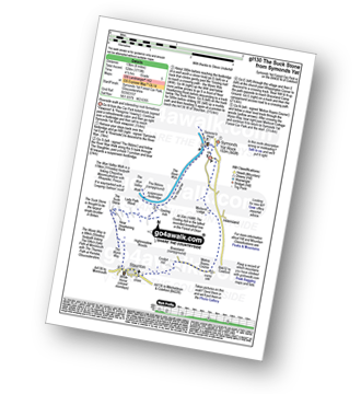
Symonds Yat - Symonds Yat Rock - The River Wye - The Slughter - The Wye Valley Walk - The Biblins - The Gosling Ash - Near Hearkening Rock - The Suck Stone - Staunton (Coleford) - Braceland - Motiva Ropes Course - Symonds Yat
|
Vital Statistics:
| Length: | 6 miles (9.5 km) |
| Ascent: | 508ft (155m) |
| Time: | 2½ hrs |
| Grade: |  |
Route Summary:
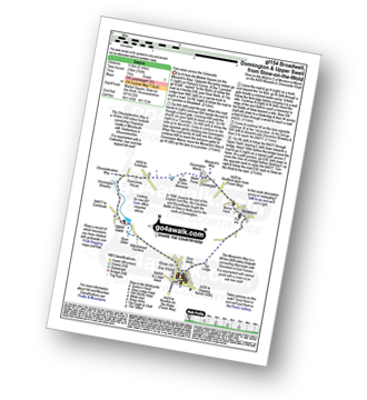
Stow-on-the-Wold - The Monarch's Way - Broadwell - Donnington - Battle of Stow Memorial - The Gloucestershire Way - Upper Swell - Stow-on-the-Wold
|
Vital Statistics:
| Length: | 6.75 miles (11 km) |
| Ascent: | 312ft (95m) |
| Time: | 3 hrs |
| Grade: | |
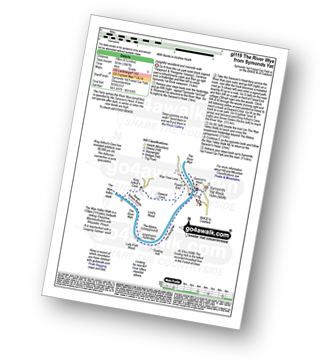
Route Summary:
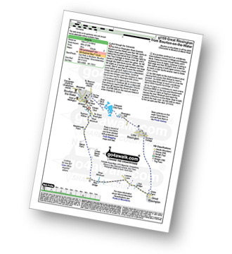
Bourton-on-the-Water - Little Rissington - Great Rissington - New Bridge - River Windrush - Bourton-on-the-Water
|
Vital Statistics:
| Length: | 8.5 miles (13.5 km) |
| Ascent: | 951ft (290m) |
| Time: | 4 hrs |
| Grade: | |
Route Summary:
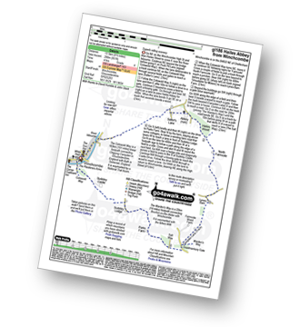
Winchcombe - River Isbourne - The Cotswold Way - Salter's Lane - Hailes Abbey - North Farmcote - Lynes Barn - Campden Lane (Track) - Deadmanbury Gate - Wardens' Way - Salt Way - The Warren - Parks Farm - Sudeley Lodge - Sudeley Castle - Winchcombe
|
Vital Statistics:
| Length: | 10.75 miles (17 km) |
| Ascent: | 689ft (210m) |
| Time: | 4.75hrs |
| Grade: | |
Route Summary:
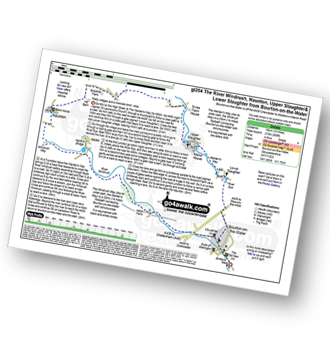
Bourton-on-the-Water - The Warden's Way - River Eye - Lower Slaughter - Upper Slaughter - Brockhill Farm - Naunton - The Windrush Way - River Windrush - Aston Farm - Bourton-on-the-Water
|
Vital Statistics:
| Length: | 8.25 miles (13 km) |
| Ascent: | 696ft (212m) |
| Time: | 3.75hrs |
| Grade: | |
|
Vital Statistics:
| Length: | 10.25 miles (16.5 km) |
| Ascent: | 463ft (141m) |
| Time: | 4.25hrs |
| Grade: | |
Route Summary:
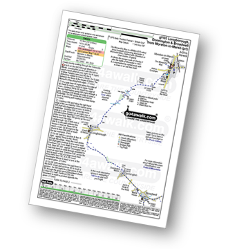
Moreton-in-Marsh - The Mornarch's Way - Upper Fields Farm - Longborough - Donnington - Broadwell - Quinmoor Far - River Evenlode - Evenlode - Codicote Farm - Moreton-in-Marsh
|
Vital Statistics:
| Length: | 6.25 miles (10 km) |
| Ascent: | 670ft (204m) |
| Time: | 3 hrs |
| Grade: | |
Route Summary:
Adlestrop - The Macmillan Way - Chastleton - Chastleton House - Chastleton Barrow Iron Age Fort - Cornwell - Adlestrop
|
Vital Statistics:
| Length: | 5.75 miles (9 km) |
| Ascent: | 571ft (174m) |
| Time: | 2.75hrs |
| Grade: | |
Route Summary:
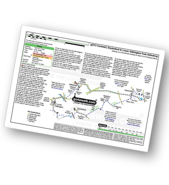
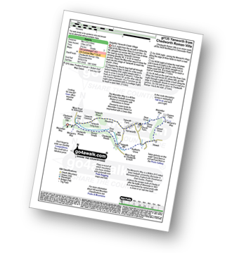
Chedworth Roman Villa - The Macmillan Way - River Coln - Yanworth Common - Yanworth Wood - Streetfold - Yanworth - Dean Grove - Sheep Wash - Oxpens Farm - The Monarch's Way - Stowell Grove - Budford's Grove - Yanworth Mill - River Coln - Chedworth Woods - Chedworth Roman Villa
|
Vital Statistics:
| Length: | 4.75 miles (7.5 km) |
| Ascent: | 1,405ft (428m) |
| Time: | 3.25hrs |
| Grade: | |
Route Summary:
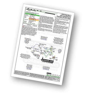
Uley - Uley Bury Hill Fort - Cliff Wood - Crawley Barns - The Cotswolds Way - Hodgecombe Farm - Cam Long Down - Peaked Down - Uleyfield - Downham Hill (Smallpox Hill) - Hydegate - Uley Bury Hill Fort - Uley
|
Vital Statistics:
| Length: | 8.25 miles (13 km) |
| Ascent: | 912ft (278m) |
| Time: | 4 hrs |
| Grade: | |
Route Summary:
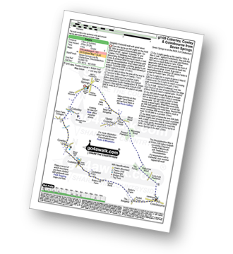
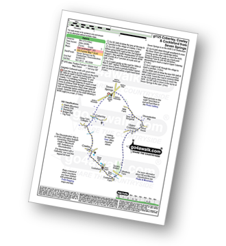
Seven Springs - Coberley - The Gloucestershire Way - Cowley - Cockleford - Butlers Hill Farm - Butler's Farm - Colesbourne - Forty Acre Plantation - Balbarrow Wood - The Forest - Pinswell Plantation - Mercombe Wood - Hilcot Wood - Upper Coberley - New Farm Bungalow - Seven Springs
|
Vital Statistics:
| Length: | 5.5 miles (9 km) |
| Ascent: | 669ft (204m) |
| Time: | 2.75hrs |
| Grade: | |
Route Summary:
Seven Springs - Coberley - The Gloucestershire Way - Cowley - Cockleford - Westbury Farm - Tomtit's Bottom - Upper Coberley - New Farm Bungalow - Seven Springs
See this list of walks, routes & maps in:
Grade Order | Length Order | Time Order | Walk Number or Start Location Order
NB. To reverse (toggle) this order, click Grade Order again


