   |
Vital Statistics:
| Length: | 5mls (8km) |
| Ascent: | 2,310ft (704m) |
| Time: | 4¼hrs |
| Grade: |  |
Route outline for walk h115:
Bearreraig - Isle of Skye - Tottrome - Old Man of Storr - Needle Rock - Coire Scamadal - The Storr - Coire Faoin - Bealach Beag - Loch Leathan - Bearreraig Cottage - Bearreraig
Points of Interest/Notes on this walk:
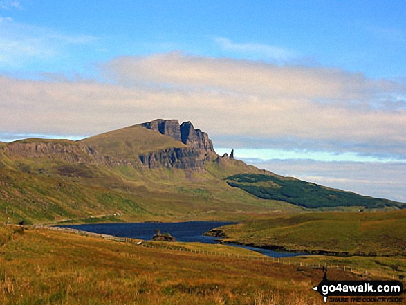
Old Man of Storr, Isle of Skye, should not be confused with 'The Old Man of Stoer', a 60m high sea stack in the North West Highlands.
Peaks, Summits and Tops reached on this walk:
 0 Munros |
 0 Corbetts |
 1 Graham |
 0 Murdos |
 0 Donalds |
 1 Scottish Marilyn |
 0 Bridgets |
Peak Bagging Statistics for this walk:
The highest point of this walk is The Storr at 719m (2360ft). The Storr is classified as a Graham (No. 67). and a Scottish Marilyn (493rd highest in Scotland, 550th highest in the UK). The summit of The Storr is marked by an Ordnance Survey Trig Point.
Free-to-access Interactive Walk Planning Maps:
1:25,000 scale OS Explorer Map (orange/yellow covers):
An Interactive Walk Planning Map for OS Explorer 408 Skye - Trotternish & The Storr is not currently available
1:50,000 scale OS Landranger Map (pink/magenta covers):
An Interactive Walk Planning Map for OS Landranger 23 North Skye, Dunvegan & Portree is not currently available
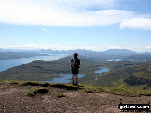
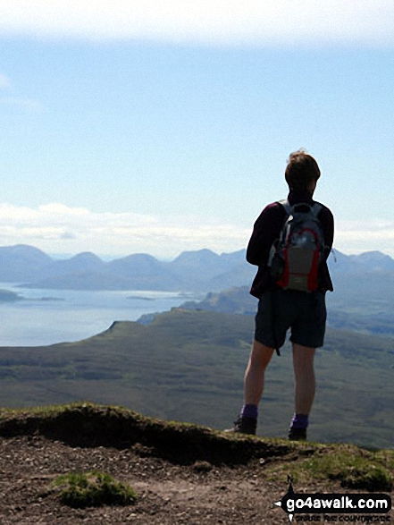
Some Photos and Pictures from Walk h115 The Storr and Old Man of Storr from Bearreraig, Isle of Skye
In no particular order . . .
Send us your photographs and pictures from your walks and hikes
We would love to see your photographs and pictures from walk h115 The Storr and Old Man of Storr from Bearreraig, Isle of Skye. Send them in to us as email attachments (configured for any computer) along with your name and where the picture was taken to:
and we shall do our best to publish them.
(Guide Resolution = 300dpi. At least = 660 pixels (wide) x 440 pixels (high).)

You can also submit photos from walk h115 The Storr and Old Man of Storr from Bearreraig, Isle of Skye via our Facebook Page.
NB. Please indicate where each photo was taken.


