   |
Vital Statistics:
| Length: | 2¾mls (4.5km) |
| Ascent: | 745ft (227m) |
| Time: | 1¾hrs |
| Grade: |  |
Route outline for walk h138:
Maoladh Mor - Isle of Skye - Cnoc A Mheirlich - Creag Loisgte - The Prison - The Needle - The Table - The Quiraing - The Table - The Needle - The Prison - Creag Loisgte - Cnoc A Mheirlich - Maoladh Mor - Isle of Skye.
Peaks, Summits and Tops reached on this walk:
 0 Munros |
 0 Corbetts |
 0 Grahams |
 0 Murdos |
 0 Donalds |
 1 Scottish Marilyn |
 0 Bridgets |
Peak Bagging Statistics for this walk:
The highest point of this walk is Creag Loisgte at 415m (1362ft). Creag Loisgte is classified as a Scottish Marilyn (971st highest in Scotland, 1175th highest in the UK).
Free-to-access Interactive Walk Planning Maps:
1:25,000 scale OS Explorer Map (orange/yellow covers):
An Interactive Walk Planning Map for OS Explorer 408 Skye - Trotternish & The Storr is not currently available
1:50,000 scale OS Landranger Map (pink/magenta covers):
An Interactive Walk Planning Map for OS Landranger 23 North Skye, Dunvegan & Portree is not currently available
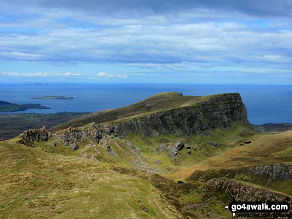
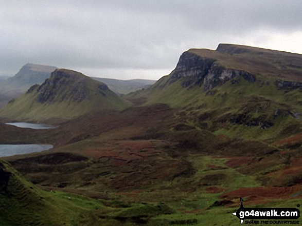
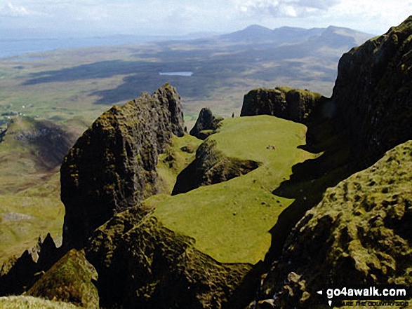
Some Photos and Pictures from Walk h138 The Quiraing from Maoladh Mor, Isle of Skye
In no particular order . . .
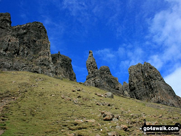
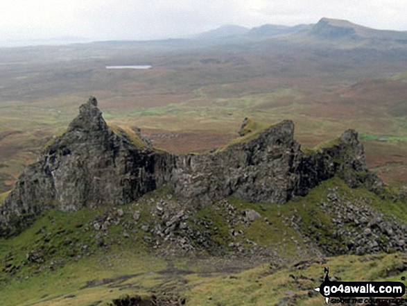
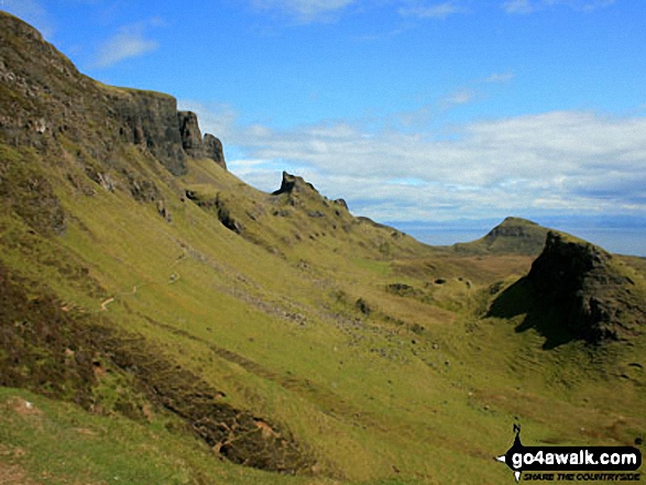
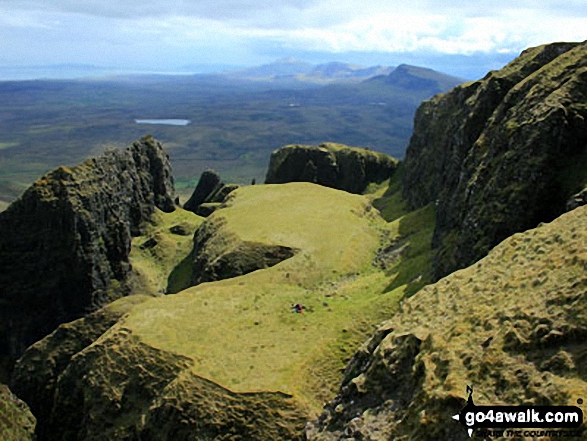
Looking down to The Table in The Quiraing on the lower slopes of Meall na Suiramach
A spectacular visita from The Quiraing on the lower slopes of Meall na Suiramach
Send us your photographs and pictures from your walks and hikes
We would love to see your photographs and pictures from walk h138 The Quiraing from Maoladh Mor, Isle of Skye. Send them in to us as email attachments (configured for any computer) along with your name and where the picture was taken to:
and we shall do our best to publish them.
(Guide Resolution = 300dpi. At least = 660 pixels (wide) x 440 pixels (high).)

You can also submit photos from walk h138 The Quiraing from Maoladh Mor, Isle of Skye via our Facebook Page.
NB. Please indicate where each photo was taken.


