   |
Vital Statistics:
| Length: | 7¾mls (12.5km) |
| Ascent: | 4,175ft (1,272m) |
| Time: | 7¼hrs |
| Grade: |  |
Route outline for walk h223:
South Ballachulish - Gleann a' Chaolais - Beinn a' Bheithir Ridge - Sgorr Dhearg (Beinn a' Bheithir) - Sgorr Dhonuill (Beinn a' Bheithir) - South Ballachulish - Glencoe.
Peaks, Summits and Tops reached on this walk:
 2 Munros |
 0 Corbetts |
 0 Grahams |
 2 Murdos |
 0 Donalds |
 2 Scottish Marilyns |
 0 Bridgets |
Peak Bagging Statistics for this walk:
The highest point of this walk is Sgorr Dhearg (Beinn a' Bheithir) at 1024m (3361ft). Sgorr Dhearg (Beinn a' Bheithir) is classified as a Munro (No. 107) and a Scottish Marilyn (86th highest in Scotland, 88th highest in the UK). Sgorr Dhearg (Beinn a' Bheithir) is also known as a Murdo (149th highest in Scotland). Sgorr Dhearg (Beinn a' Bheithir) means 'Red Peak (Hill of the Thunderbolt)' and is pronounced 'skoor djerrack (byn a vair)'.
The summit of Sgorr Dhearg (Beinn a' Bheithir) is marked by an Ordnance Survey Trig Point.
Completing this walk will also take you to the top of Sgorr Dhonuill (Beinn a' Bheithir) at 1001m (3285ft). Sgorr Dhonuill (Beinn a' Bheithir) is classified as a Munro (No. 137) and a Scottish Marilyn (108th highest in Scotland, 110th highest in the UK). Sgorr Dhonuill (Beinn a' Bheithir) is also known as a Murdo (192nd highest in Scotland). Sgorr Dhonuill (Beinn a' Bheithir) means 'Donald's Peak (Hill of the Thunderbolt)' and is pronounced 'skoor ghawil (byn a vair)'.
The summit of Sgorr Dhonuill (Beinn a' Bheithir) is marked by a cairn.
You can find this walk and other nearby walks on these unique free-to-access Interactive Walk Planning Maps:
1:25,000 scale OS Explorer Map (orange/yellow covers):
1:50,000 scale OS Landranger Map (pink/magenta covers):
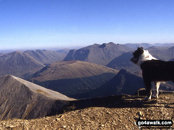
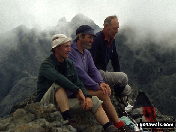
Some Photos and Pictures from Walk h223 Sgorr Dhearg, The Beinn a' Bheithir Ridge and Sgorr Dhonuill from South Ballachulish
In no particular order . . .
Send us your photographs and pictures from your walks and hikes
We would love to see your photographs and pictures from walk h223 Sgorr Dhearg, The Beinn a' Bheithir Ridge and Sgorr Dhonuill from South Ballachulish. Send them in to us as email attachments (configured for any computer) along with your name and where the picture was taken to:
and we shall do our best to publish them.
(Guide Resolution = 300dpi. At least = 660 pixels (wide) x 440 pixels (high).)

You can also submit photos from walk h223 Sgorr Dhearg, The Beinn a' Bheithir Ridge and Sgorr Dhonuill from South Ballachulish via our Facebook Page.
NB. Please indicate where each photo was taken.


