   |
Vital Statistics:
| Length: | 5½mls (9km) |
| Ascent: | 2,501ft (762m) |
| Time: | 5¾hrs |
| Grade: |  |
Route outline for walk h142:
Glencoe Village - The Pass of Glencoe - Sgorr na Ciche (Pap of Glencoe) - Glencoe Village
Peaks, Summits and Tops reached on this walk:
 0 Munros |
 0 Corbetts |
 1 Graham |
 0 Murdos |
 0 Donalds |
 1 Scottish Marilyn |
 0 Bridgets |
Peak Bagging Statistics for this walk:
The highest point of this walk is Sgorr na Ciche (Pap of Glencoe) at 742m (2435ft). Sgorr na Ciche (Pap of Glencoe) is classified as a Graham (No. 27). and a Scottish Marilyn (453rd highest in Scotland, 500th highest in the UK).
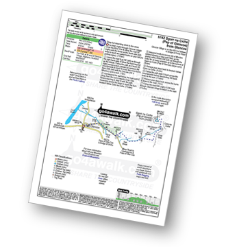
You can find this walk and other nearby walks on these unique free-to-access Interactive Walk Planning Maps:
1:25,000 scale OS Explorer Map (orange/yellow covers):
1:50,000 scale OS Landranger Map (pink/magenta covers):
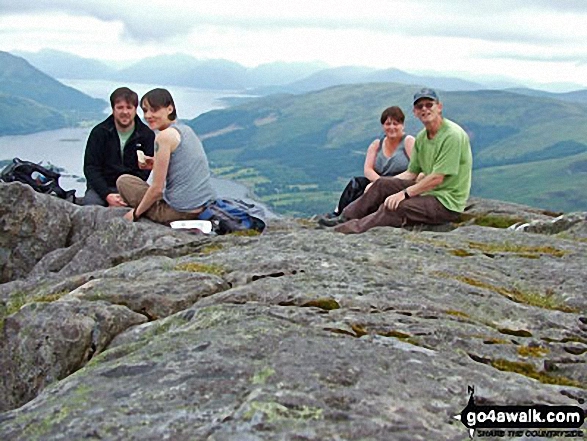
Some Photos and Pictures from Walk h142 Sgorr na Ciche (Pap of Glencoe) from Glencoe Village, The Pass of Glencoe
In no particular order . . .
Send us your photographs and pictures from your walks and hikes
We would love to see your photographs and pictures from walk h142 Sgorr na Ciche (Pap of Glencoe) from Glencoe Village, The Pass of Glencoe. Send them in to us as email attachments (configured for any computer) along with your name and where the picture was taken to:
and we shall do our best to publish them.
(Guide Resolution = 300dpi. At least = 660 pixels (wide) x 440 pixels (high).)

You can also submit photos from walk h142 Sgorr na Ciche (Pap of Glencoe) from Glencoe Village, The Pass of Glencoe via our Facebook Page.
NB. Please indicate where each photo was taken.


