The Arans area of Snowdonia National Park - a fully detailed list of all the Mountains, Peaks, Tops and Hills
The Arans area of Snowdonia National Park in Gwynedd is the area enclosed by:
- Afon Twrch and Cwm Cynllwyd from Llanuwchllyn to Bwlch y Groes to the North East
- The edge of the Snowdonia National Park from Bwlch y Groes to Mallwyd and then the A470 from Mallwyd to Dolgellau to the East & South
- The A494 from Dolgellau to Llanuwchllyn to the North West
If you include just the Mountains (Hewitts) and the Nuttalls there are 13 tops to climb, bag & conquer and the highest point is Aran Fawddwy at 905m (2,970ft).
To see these Mountains, Peaks, Tops and Hills displayed in different ways - see the options in the left-hand column and towards the bottom of this page.
![]() Your Personal Bagging Record for The Arans area of Snowdonia
Your Personal Bagging Record for The Arans area of Snowdonia
When logged on, you can mark each Mountain, Peak, Top or Hill as 'bagged' by either:
- if you opt to display the tops in this area using a google map, click or tap on its symbol on the map below. This will open a text window. Click or tap on the 'Record [mountain name] as Bagged, Climbed & Conquered' link towards the bottom of the text window, or
- if you opt to display the tops in this area as a list, click or tap on the red 'not yet' symbol to the right of the name of each 'top'
Either method will open a new page where you can complete all your details such as:
- when you bagged the Mountain, Peak, Top or Hill;
- which route you took
- who you went with
- what the weather was like
- any other comment that will remind you of the day
Once you have completed your details and click or tap the submit button, you will automatically return to this page and the top you bagged will show with a green tick.
NB. None of the above fields are 'mandatory' - you can leave them blank if you wish.
NNB. You also have the option whether to display your peak bagging exploits to other users of this site or keep them private so only you can see them when you are logged on.
Furthermore, since you can also access your Personal Mountain & Hill Bagging Record via go4awalk Mobile you can quickly & easily record, edit and view your achievements - whether you are at home/work on your desktop computer or in the pub/at the top of a mountain with your Mobile Phone. (You can even download your Personal Mountain & Hill Bagging Record as a .csv file for importing into and saving with spreadsheet software like Excel or NeoOffice!)
This facility costs one credit to initially access your personal bagging record. Once accessed, all other interactions, such as recording other Mountains, Peaks, Tops and Hills as 'bagged' or altering an existing bagging record, are free.
Click REGISTER to register and purchase credits.
LOG ON and RELOAD this page to show which Mountains, Peaks, Tops and Hills you have already climbed, bagged & conquered. [ . . . remove this text]
See this list in: Alphabetical Order
| Height Order‡
To reverse the order select the link again.
Mountain, Peak, Top or Hill:
Bagged

![]()
1. Aran Fawddwy
905m (2,970ft)
Aran Fawddwy is on interactive maps:
Aran Fawddwy is on downloadable PDF you can Print or Save to your Phone: |
![]()
2. Aran Benllyn
885m (2,905ft)
Aran Benllyn is on interactive maps:
Aran Benllyn is on downloadable PDF you can Print or Save to your Phone: |
![]()
3. Erw y Ddafad-ddu
872m (2,861ft)
Erw y Ddafad-ddu is on interactive maps:
Erw y Ddafad-ddu is on downloadable PDF you can Print or Save to your Phone: |
![]()
4. Glasgwm
779m (2,556ft)
Glasgwm is on interactive maps:
Glasgwm is on downloadable PDF you can Print or Save to your Phone: |
![]()
5. Foel Hafod-fynydd
689m (2,260ft)
Foel Hafod-fynydd is on interactive maps:
Foel Hafod-fynydd is on downloadable PDF you can Print or Save to your Phone: |
![]()
6. Gwaun y Llwyni
685m (2,247ft)
Gwaun y Llwyni is on interactive maps:
Gwaun y Llwyni is on downloadable PDF you can Print or Save to your Phone: |
![]()
7. Pen y Brynfforchog
685m (2,247ft)
Pen y Brynfforchog is on interactive maps:
Pen y Brynfforchog is on downloadable PDF you can Print or Save to your Phone: |
![]()
8. Esgeiriau Gwynion
671m (2,202ft)
Esgeiriau Gwynion is on interactive maps:
Esgeiriau Gwynion is on downloadable PDF you can Print or Save to your Phone: |

![]()
9. Foel Rhudd
659m (2,163ft)
Foel Rhudd is on interactive maps:
Foel Rhudd is on downloadable PDF you can Print or Save to your Phone: |
![]()
10. Gwaun Lydan
632m (2,074ft)
Gwaun Lydan is on interactive maps:
Gwaun Lydan is on downloadable PDF you can Print or Save to your Phone: |
![]()
11. Pen yr Allt Uchaf
630m (2,067ft)
Pen yr Allt Uchaf is on interactive maps:
Pen yr Allt Uchaf is on downloadable PDF you can Print or Save to your Phone: |
![]()
12. Waun Camddwr
621m (2,040ft)
Waun Camddwr is on interactive maps:
Waun Camddwr is on downloadable PDF you can Print or Save to your Phone: |
![]()
13. Llechwedd Du (Arans)
614m (2,015ft)
Llechwedd Du (Arans) is on interactive maps:
Llechwedd Du (Arans) is on downloadable PDF you can Print or Save to your Phone: |
View these 13 Mountains, Peaks, Tops and Hills:
- On a Downloadable PDF you can Print or Save to your Phone#
- On an Interactive Google Map (loads faster)
- On an Interactive Google Map with a list of tops below it.
(makes it easier to locate a particular top) - On a Detailed List in:
Alphabetical Order | Height Order - On one page with 'yet-to-be-bagged' listed 1st & then 'already-bagged' tops listed 2nd in:
Alphabetical Order | Height Order - On one page with 'already-bagged' tops listed 1st & then 'yet-to-be-bagged' tops listed 2nd in:
Alphabetical Order | Height Order
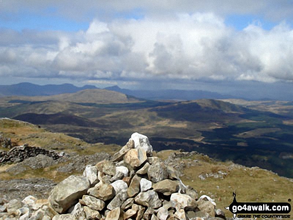
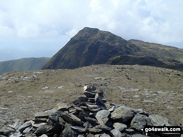
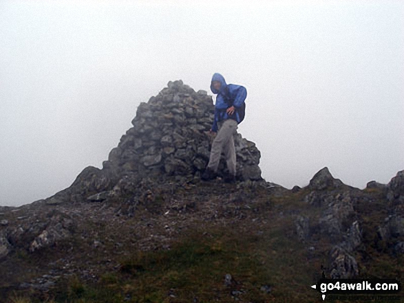
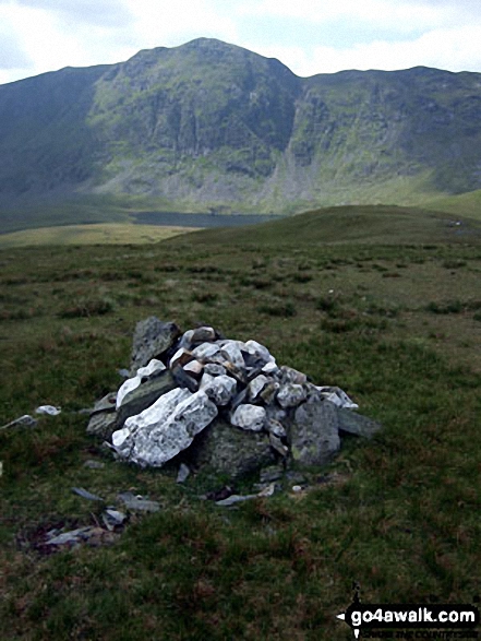
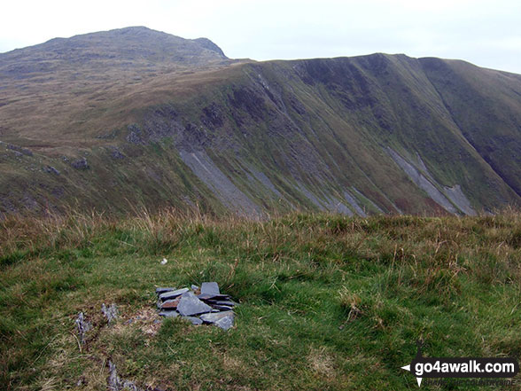
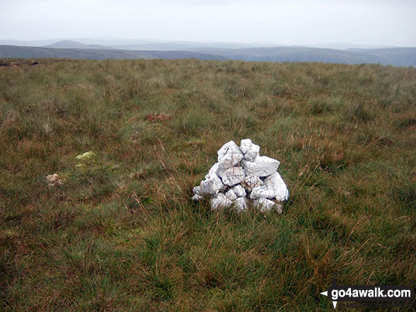
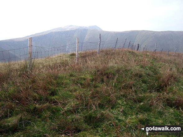
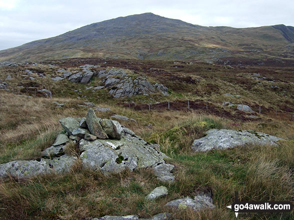
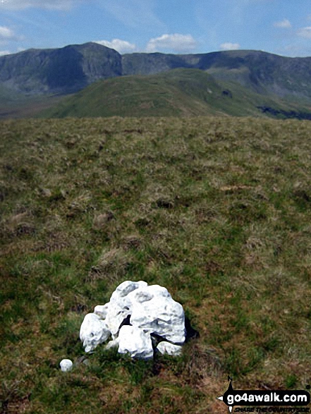
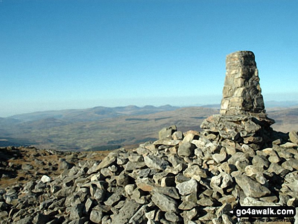 The summit of Aran Fawddwy in The Arans area of Snowdonia
Photo: Tony Statham
# Whether you print a copy or download it to your phone, this Peak Baggers' Map will prove incredibly useful if you want to know what's what when you are up in the mountains and cannot get a phone signal.
Is there a Mountain, Peak, Top or Hill missing from the above google map or list?
Let us know an we will add it to our database.

To contribute to go4awalk.com or to contact us about anything at all - see Talk To Us.
For help see Help.
go4awalk.com and go4awalk.co.uk are registered trademarks of TMDH Limited.
Copyright © 2000-2026 TMDH Limited. All rights reserved.
Copyright Terms & Conditions Privacy Statement
A - Z Walks Home Log On/Accounts Photo Gallery Walk Ideas and Collections Fell Facts Hill Skills Walking Questions and Answers Your Stories News Competitions Product Reviews/Gear Tests Walking Gear Guides Peaks and Mountains Peak Bagging Find New Walking Friends Camping GPS Waypoints for Walking Contents Walk Search Talk To Us go4awalk.com Help Free Example Walks Newsletter


