The Black Mountains Area of Bannau Brycheiniog (The Brecon Beacons National Park) - a fully detailed list of all the Mountains, Peaks, Tops and Hills
The Black Mountains Area of Bannau Brycheiniog (The Brecon Beacons National Park) is the Eastern half of the National Park. It is enclosed by:
- The Park Boundary to the North, East & South
- The B4558 from Brecon to Talybont-on-Usk and then a minor road south past Talybont Reservoir, Pentwyn Reservoir and Pontsticill Reservoir to Pontsticill to the West
If you include the Marilyns, the Bridgets (Hills) and all the Mountains, Tops, Peaks and Hills with a Trig Point on them there are 30 tops to climb, bag & conquer and the highest point is Waun Fach at 811m (2,662ft).
To see these Mountains, Peaks, Tops and Hills displayed in different ways - see the options in the left-hand column and towards the bottom of this page.
![]() Your Personal Bagging Record for The Black Mountains Area of Bannau Brycheiniog (The Brecon Beacons)
Your Personal Bagging Record for The Black Mountains Area of Bannau Brycheiniog (The Brecon Beacons)
LOG ON and RELOAD this page to show which Mountains, Peaks, Tops and Hills you have already climbed, bagged & conquered [. . . more details]
See this list in: Alphabetical Order‡
| Height Order
To reverse the order select the link again.
Mountain, Peak, Top or Hill:
Bagged

![]()
1. Allt yr Esgair
393m (1,290ft)
Allt yr Esgair is on interactive maps:
Allt yr Esgair is on downloadable PDF you can Print or Save to your Phone: |

![]()
2. Bal Mawr
607m (1,992ft)
Bal Mawr is on interactive maps:
|
![]()
3. Bal-Mawr
607m (1,992ft)
Bal-Mawr is on interactive maps:
Bal-Mawr is on downloadable PDF you can Print or Save to your Phone: |
![]()
4. Black Hill (Craswall)
641m (2,103ft)
Send it in and we'll publish it here.
Black Hill (Craswall) is on interactive maps:
|
![]()
5. Black Mountain
703m (2,307ft)
Black Mountain is on interactive maps:
Black Mountain is on downloadable PDF you can Print or Save to your Phone: |
![]()
6. Black Mountain (South Top)
637m (2,091ft)
Black Mountain (South Top) is on interactive maps:
Black Mountain (South Top) is on downloadable PDF you can Print or Save to your Phone: |

![]()
7. Blaen-yr-henbant
498m (1,634ft)
Blaen-yr-henbant is on interactive maps:
Blaen-yr-henbant is on downloadable PDF you can Print or Save to your Phone: |

![]()
8. Blorenge (Blorens)
561m (1,841ft)
Blorenge (Blorens) is on interactive maps:
Blorenge (Blorens) is on downloadable PDF you can Print or Save to your Phone: |
![]()
9. Bryn Arw
384m (1,260ft)
Bryn Arw is on interactive maps:
Bryn Arw is on downloadable PDF you can Print or Save to your Phone: |
![]()
10. Brynderwen
263m (863ft)
Brynderwen is on interactive maps:
Brynderwen is on downloadable PDF you can Print or Save to your Phone: |
![]()
11. Carreg Gywir (Gilwern Hill)
441m (1,447ft)
Send it in and we'll publish it here.
Carreg Gywir (Gilwern Hill) is on interactive maps:
Carreg Gywir (Gilwern Hill) is on downloadable PDF you can Print or Save to your Phone: |

![]()
12. Cefn yr Ystrad
617m (2,025ft)
Cefn yr Ystrad is on interactive maps:
Cefn yr Ystrad is on downloadable PDF you can Print or Save to your Phone: |
![]()
13. Crug Mawr
550m (1,805ft)
Crug Mawr is on interactive maps:
Crug Mawr is on downloadable PDF you can Print or Save to your Phone: |
![]()
14. Hay Bluff
677m (2,222ft)
Hay Bluff is on interactive maps:
Hay Bluff is on downloadable PDF you can Print or Save to your Phone: |
![]()
15. Myarth
292m (958ft)
Myarth is on interactive maps:
Myarth is on downloadable PDF you can Print or Save to your Phone: |
![]()
16. Mynydd Llangorse
515m (1,690ft)
Mynydd Llangorse is on interactive maps:
Mynydd Llangorse is on downloadable PDF you can Print or Save to your Phone: |
![]()
17. Mynydd Llangynidr (North East Top)
541m (1,775ft)
Send it in and we'll publish it here.
Mynydd Llangynidr (North East Top) is on interactive maps:
|
![]()
18. Mynydd Troed
609m (1,999ft)
Mynydd Troed is on interactive maps:
Mynydd Troed is on downloadable PDF you can Print or Save to your Phone: |
![]()
19. North Daren
610m (2,002ft)
North Daren is on interactive maps:
North Daren is on downloadable PDF you can Print or Save to your Phone: |
![]()
20. Pen Allt-mawr
719m (2,362ft)
Pen Allt-mawr is on interactive maps:
Pen Allt-mawr is on downloadable PDF you can Print or Save to your Phone: |
![]()
21. Pen Cerrig-calch
701m (2,300ft)
Pen Cerrig-calch is on interactive maps:
Pen Cerrig-calch is on downloadable PDF you can Print or Save to your Phone: |
![]()
22. Pen Tir
451m (1,480ft)
Pen Tir is on interactive maps:
Pen Tir is on downloadable PDF you can Print or Save to your Phone: |
![]()
23. Rhiw Arw
552m (1,812ft)
Rhiw Arw is on interactive maps:
Rhiw Arw is on downloadable PDF you can Print or Save to your Phone: |
![]()
24. Rhos Dirion
713m (2,340ft)
Rhos Dirion is on interactive maps:
Rhos Dirion is on downloadable PDF you can Print or Save to your Phone: |
![]()
25. Skirrid Fawr (Ysgyryd Fawr)
486m (1,595ft)
Skirrid Fawr (Ysgyryd Fawr) is on interactive maps:
Skirrid Fawr (Ysgyryd Fawr) is on downloadable PDF you can Print or Save to your Phone: |
![]()
26. Sugar Loaf (Y Fal)
596m (1,956ft)
Sugar Loaf (Y Fal) is on interactive maps:
Sugar Loaf (Y Fal) is on downloadable PDF you can Print or Save to your Phone: |
![]()
27. Tor y Foel
551m (1,808ft)
Tor y Foel is on interactive maps:
Tor y Foel is on downloadable PDF you can Print or Save to your Phone: |
![]()
28. Twr Pen-cyrn (Mynydd Llangattwg)
529m (1,736ft)
Twr Pen-cyrn (Mynydd Llangattwg) is on interactive maps:
Twr Pen-cyrn (Mynydd Llangattwg) is on downloadable PDF you can Print or Save to your Phone: |
![]()
29. Twyn y Gaer (Black Mountains)
427m (1,401ft)
Send it in and we'll publish it here.
Twyn y Gaer (Black Mountains) is on interactive maps:
Twyn y Gaer (Black Mountains) is on downloadable PDF you can Print or Save to your Phone: |
![]()
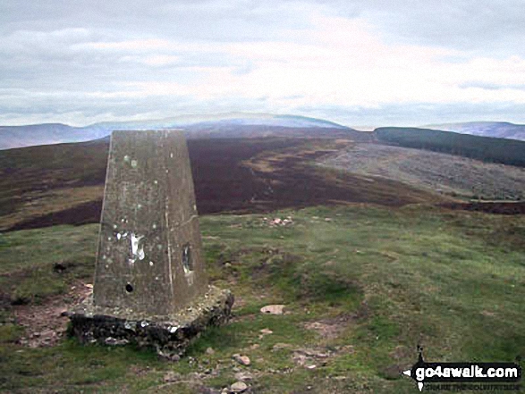
30. Waun Fach
811m (2,662ft)
Waun Fach is on interactive maps:
Waun Fach is on downloadable PDF you can Print or Save to your Phone: |
View these 30 Mountains, Peaks, Tops and Hills:
- On a Downloadable PDF you can Print or Save to your Phone#
- On an Interactive Google Map with a list of tops below it.
(makes it easier to locate a particular top) - On a Detailed List in:
Alphabetical Order | Height Order - On one page with 'yet-to-be-bagged' listed 1st
& then 'already-bagged' tops listed 2nd in:
Alphabetical Order | Height Order - On one page with 'already-bagged' tops listed 1st
& then 'yet-to-be-bagged' tops listed 2nd in:
Alphabetical Order | Height Order
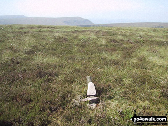
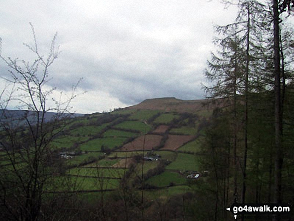
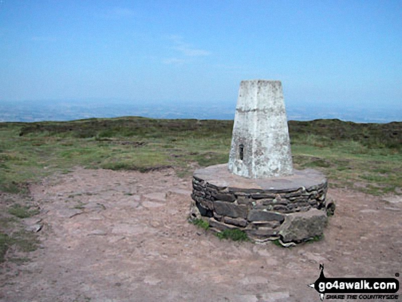
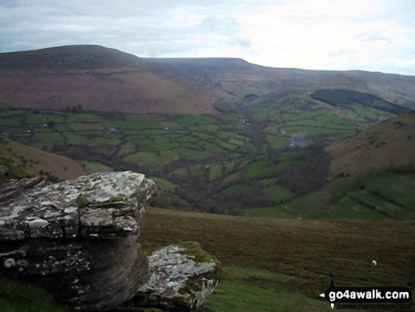
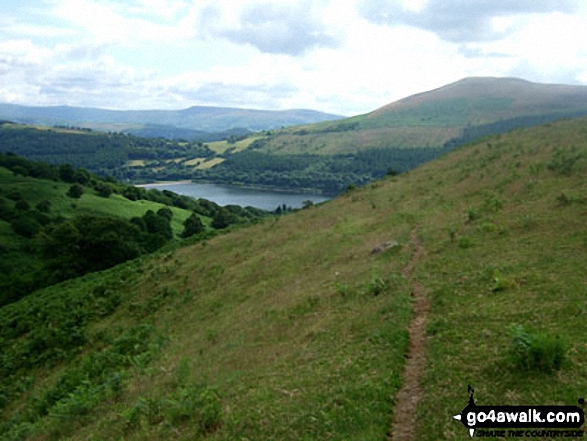
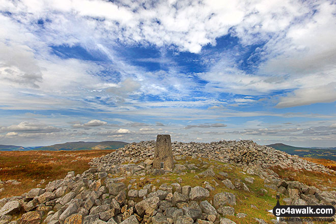
 Waun Fach in The Black Mountains Area of The Brecon Beacons
Photo: Jon Rimmer
Is there a Mountain, Peak, Top or Hill missing from the above google map or list?
Let us know an we will add it to our database.
To contribute to go4awalk.com or to contact us about anything at all - see Talk To Us.
For help see Help.
go4awalk.com and go4awalk.co.uk are registered trademarks of TMDH Limited.
Copyright © 2000-2026 TMDH Limited. All rights reserved.
Copyright Terms & Conditions Privacy Statement
A - Z Walks Home Log On/Accounts Photo Gallery Walk Ideas and Collections Fell Facts Hill Skills Walking Questions and Answers Your Stories News Competitions Product Reviews/Gear Tests Walking Gear Guides Peaks and Mountains Peak Bagging Find New Walking Friends Camping GPS Waypoints for Walking Contents Walk Search Talk To Us go4awalk.com Help Free Example Walks Newsletter