The Yorkshire Dales National Park - a fully detailed list of all the Mountains, Peaks, Tops and Hills (Page 1 of 3)
The Yorkshire Dales National Park, Cumbria, North Yorkshire includes The Howgills Fells, The Northern Dales and The Southern Dales areas of The Yorkshire Dales National Park.
If you include the Marilyns, the Bridgets (Hills) and all the Mountains, Tops, Peaks and Hills with a Trig Point on them there are 84 tops to climb, bag & conquer and the highest point is Whernside at 736m (2,416ft).
To see these Mountains, Peaks, Tops and Hills displayed in different ways - see the options in the left-hand column and towards the bottom of this page.
![]() Your Personal Bagging Record for The Yorkshire Dales
Your Personal Bagging Record for The Yorkshire Dales
LOG ON and RELOAD this page to show which Mountains, Peaks, Tops and Hills you have already climbed, bagged & conquered [. . . more details]
See this list in: Alphabetical Order
| Height Order‡
To reverse the order select the link again.
Mountain, Peak, Top or Hill:
Bagged

![]()
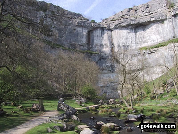
1. Malham Cove
319m (1,047ft)
Malham Cove is on interactive maps:
Malham Cove is on downloadable PDF you can Print or Save to your Phone: |

![]()
2. Sharp Haw
357m (1,171ft)
Sharp Haw is on interactive maps:
Sharp Haw is on downloadable PDF you can Print or Save to your Phone: |
![]()
3. Castley Knotts
361m (1,185ft)
Castley Knotts is on interactive maps:
Castley Knotts is on downloadable PDF you can Print or Save to your Phone: |

![]()
4. Smearsett Scar
363m (1,191ft)
Smearsett Scar is on interactive maps:
Smearsett Scar is on downloadable PDF you can Print or Save to your Phone: |
![]()
5. Embsay Crag
371m (1,217ft)
Embsay Crag is on interactive maps:
Embsay Crag is on downloadable PDF you can Print or Save to your Phone: |
![]()
6. Nettle Hill
382m (1,253ft)
Nettle Hill is on interactive maps:
Nettle Hill is on downloadable PDF you can Print or Save to your Phone: |
![]()
7. Beamsley Beacon (Howber Hill)
393m (1,290ft)
Beamsley Beacon (Howber Hill) is on interactive maps:
Beamsley Beacon (Howber Hill) is on downloadable PDF you can Print or Save to your Phone: |
![]()
8. Ravensworth Fell
401m (1,316ft)
Ravensworth Fell is on interactive maps:
Ravensworth Fell is on downloadable PDF you can Print or Save to your Phone: |
![]()
9. Thwaite Scars
408m (1,339ft)
Thwaite Scars is on interactive maps:
Thwaite Scars is on downloadable PDF you can Print or Save to your Phone: |
![]()
10. Round Hill (Bramberry Hill)
409m (1,342ft)
Round Hill (Bramberry Hill) is on interactive maps:
Round Hill (Bramberry Hill) is on downloadable PDF you can Print or Save to your Phone: |
![]()
11. Rylstone Fell
410m (1,345ft)
Rylstone Fell is on interactive maps:
Rylstone Fell is on downloadable PDF you can Print or Save to your Phone: |
![]()
12. Brown Bank Head
412m (1,352ft)
Brown Bank Head is on interactive maps:
Brown Bank Head is on downloadable PDF you can Print or Save to your Phone: |
![]()
13. Powson Knott (Great Asby Scar)
412m (1,352ft)
Send it in and we'll publish it here.
Powson Knott (Great Asby Scar) is on interactive maps:
Powson Knott (Great Asby Scar) is on downloadable PDF you can Print or Save to your Phone: |
![]()
14. Crookrise Crag Top
415m (1,362ft)
Crookrise Crag Top is on interactive maps:
Crookrise Crag Top is on downloadable PDF you can Print or Save to your Phone: |
![]()
15. Knott (Sedbergh)
429m (1,408ft)
Knott (Sedbergh) is on interactive maps:
Knott (Sedbergh) is on downloadable PDF you can Print or Save to your Phone: |
![]()
16. Barbon Low Fell
438m (1,437ft)
Barbon Low Fell is on interactive maps:
|
![]()
17. Langcliffe
440m (1,444ft)
Langcliffe is on interactive maps:
Langcliffe is on downloadable PDF you can Print or Save to your Phone: |
![]()
18. Carncliff Top (Earl Seat)
449m (1,473ft)
Carncliff Top (Earl Seat) is on interactive maps:
Carncliff Top (Earl Seat) is on downloadable PDF you can Print or Save to your Phone: |

![]()
19. Kilnsey Moor
450m (1,477ft)
Kilnsey Moor is on interactive maps:
Kilnsey Moor is on downloadable PDF you can Print or Save to your Phone: |
![]()
20. Rain Stang
453m (1,487ft)
Rain Stang is on interactive maps:
Rain Stang is on downloadable PDF you can Print or Save to your Phone: |
![]()
21. Crook (Howgills)
461m (1,513ft)
Crook (Howgills) is on interactive maps:
Crook (Howgills) is on downloadable PDF you can Print or Save to your Phone: |
![]()
22. Knott (Ravenstonedale)
465m (1,526ft)
Send it in and we'll publish it here.
Knott (Ravenstonedale) is on interactive maps:
Knott (Ravenstonedale) is on downloadable PDF you can Print or Save to your Phone: |
![]()
23. Fremington Edge
473m (1,552ft)
Fremington Edge is on interactive maps:
Fremington Edge is on downloadable PDF you can Print or Save to your Phone: |
![]()
24. Winder Hill
473m (1,552ft)
Winder Hill is on interactive maps:
Winder Hill is on downloadable PDF you can Print or Save to your Phone: |
![]()
25. Blease Fell (Howgills)
474m (1,556ft)
Blease Fell (Howgills) is on interactive maps:
Blease Fell (Howgills) is on downloadable PDF you can Print or Save to your Phone: |
![]()
26. Addlebrough
477m (1,565ft)
Addlebrough is on interactive maps:
A downloadable go4awalk.com PDF Peak Bagging Map featuring Addlebrough will be available soon. |
![]()
27. Langdale Knott
477m (1,566ft)
Langdale Knott is on interactive maps:
Langdale Knott is on downloadable PDF you can Print or Save to your Phone: |
![]()
28. Simon's Seat (Wharfedale)
485m (1,591ft)
Simon's Seat (Wharfedale) is on interactive maps:
Simon's Seat (Wharfedale) is on downloadable PDF you can Print or Save to your Phone: |
![]()
29. Middleton (Howgills)
486m (1,595ft)
Send it in and we'll publish it here.
Middleton (Howgills) is on interactive maps:
Middleton (Howgills) is on downloadable PDF you can Print or Save to your Phone: |
![]()
30. Calver Hill
487m (1,598ft)
Calver Hill is on interactive maps:
Calver Hill is on downloadable PDF you can Print or Save to your Phone: |
View these 84 Mountains, Peaks, Tops and Hills:
- On Three Downloadable PDFs you can print or save to your phone covering:
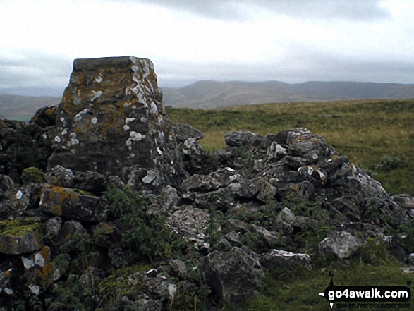
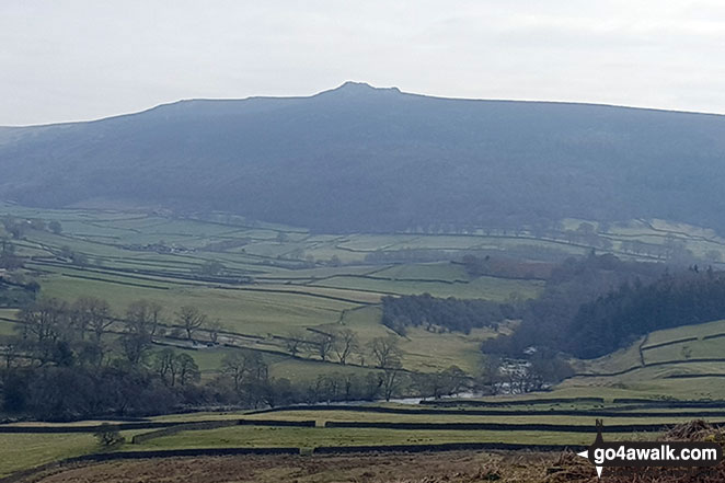
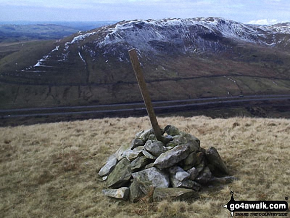
 Whernside in The Northern Dales AreaThe Yorkshire Dales
Photo: David Hayter
- On an Interactive Google Map (loads faster)
- On an Interactive Google Map with a list of tops below it.
(makes it easier to locate a particular top) - On a Detailed List in:
Alphabetical Order | Height Order - On one page with 'yet-to-be-bagged' listed 1st & then 'already-bagged' tops listed 2nd in:
Alphabetical Order | Height Order - On one page with 'already-bagged' tops listed 1st & then 'yet-to-be-bagged' tops listed 2nd in:
Alphabetical Order | Height Order
# Whether you print copies or download them to your phone, these Peak Baggers' Maps will prove incredibly useful if you want to know what's what when you are up in the mountains and cannot get a phone signal.
Is there a Mountain, Peak, Top or Hill missing from the above google map or list?
Let us know an we will add it to our database.
To contribute to go4awalk.com or to contact us about anything at all - see Talk To Us.
For help see Help.
go4awalk.com and go4awalk.co.uk are registered trademarks of TMDH Limited.
Copyright © 2000-2025 TMDH Limited. All rights reserved.
Copyright Terms & Conditions Privacy Statement
A - Z Walks Home Log On/Accounts Photo Gallery Walk Ideas and Collections Fell Facts Hill Skills Walking Questions and Answers Your Stories News Competitions Product Reviews/Gear Tests Walking Gear Guides Peaks and Mountains Peak Bagging Find New Walking Friends Camping GPS Waypoints for Walking Contents Walk Search Talk To Us go4awalk.com Help Free Example Walks Newsletter


