The Lake District National Park - a fully detailed list of all the Mountains, Peaks, Tops and Hills (Page of 4)
The Lake District National Park is located in North West England, wholly within the county of Cumbria.
If you count only the Wainwright Outlying Fells there are 116 tops to climb, bag & conquer and the highest point is Walna Scar at 621m (2,038ft).
To see these Mountains, Peaks, Tops and Hills displayed in different ways - see the options in the left-hand column and towards the bottom of this page.
![]() Your Personal Bagging Record for The Lake District National Park
Your Personal Bagging Record for The Lake District National Park
LOG ON and RELOAD this page to show which Mountains, Peaks, Tops and Hills you have already climbed, bagged & conquered [. . . more details]
See this list in: Alphabetical Order‡
| Height Order
To reverse the order select the link again.
Mountain, Peak, Top or Hill:
Bagged

![]()
1. Ancrow Brow (North East Top)
541m (1,775ft)
Ancrow Brow (North East Top) is on interactive maps:
A downloadable go4awalk.com PDF Peak Bagging Map featuring Ancrow Brow (North East Top) will be available soon. |
![]()
2. Ancrow Brow (Swinklebank Crag)
555m (1,822ft)
Ancrow Brow (Swinklebank Crag) is on interactive maps:
A downloadable go4awalk.com PDF Peak Bagging Map featuring Ancrow Brow (Swinklebank Crag) will be available soon. |
![]()
3. Beacon (Blawith Fells)
255m (836ft)
Beacon (Blawith Fells) is on interactive maps:
A downloadable go4awalk.com PDF Peak Bagging Map featuring Beacon (Blawith Fells) will be available soon. |
![]()
4. Bigland Barrow
183m (601ft)
Bigland Barrow is on interactive maps:
A downloadable go4awalk.com PDF Peak Bagging Map featuring Bigland Barrow will be available soon. |
![]()
5. Black Combe
600m (1,969ft)
Black Combe is on interactive maps:
A downloadable go4awalk.com PDF Peak Bagging Map featuring Black Combe will be available soon. |
![]()
6. Blawith Knott
246m (807ft)
Blawith Knott is on interactive maps:
A downloadable go4awalk.com PDF Peak Bagging Map featuring Blawith Knott will be available soon. |
![]()
7. Boat How
337m (1,106ft)
Boat How is on interactive maps:
Boat How is on downloadable PDF you can Print or Save to your Phone: *Version including the walk routes marked on it that you need to follow to Walk all 214 Wainwrights in just 59 walks. |
![]()
8. Brant Fell
191m (626ft)
Brant Fell is on interactive maps:
A downloadable go4awalk.com PDF Peak Bagging Map featuring Brant Fell will be available soon. |
![]()
9. Brock Barrow (Top o' Selside)
229m (752ft)
Brock Barrow (Top o' Selside) is on interactive maps:
A downloadable go4awalk.com PDF Peak Bagging Map featuring Brock Barrow (Top o' Selside) will be available soon. |
![]()
10. Brunt Knott (East Top)
390m (1,279ft)
Brunt Knott (East Top) is on interactive maps:
A downloadable go4awalk.com PDF Peak Bagging Map featuring Brunt Knott (East Top) will be available soon. |
![]()
11. Brunt Knott (Potter Fell)
427m (1,401ft)
Brunt Knott (Potter Fell) is on interactive maps:
A downloadable go4awalk.com PDF Peak Bagging Map featuring Brunt Knott (Potter Fell) will be available soon. |
![]()
12. Brunt Knott (South Top)
395m (1,296ft)
Brunt Knott (South Top) is on interactive maps:
A downloadable go4awalk.com PDF Peak Bagging Map featuring Brunt Knott (South Top) will be available soon. |
![]()
13. Buck Barrow
545m (1,788ft)
Buck Barrow is on interactive maps:
A downloadable go4awalk.com PDF Peak Bagging Map featuring Buck Barrow will be available soon. |
![]()
14. Burn Moor
543m (1,782ft)
Burn Moor is on interactive maps:
A downloadable go4awalk.com PDF Peak Bagging Map featuring Burn Moor will be available soon. |
![]()
15. Burney (Great Burney)
298m (978ft)
Burney (Great Burney) is on interactive maps:
A downloadable go4awalk.com PDF Peak Bagging Map featuring Burney (Great Burney) will be available soon. |
![]()
16. Caermote Hill
285m (935ft)
Caermote Hill is on interactive maps:
Caermote Hill is on downloadable PDF you can Print or Save to your Phone: *Version including the walk routes marked on it that you need to follow to Walk all 214 Wainwrights in just 59 walks. |
![]()
17. Capplebarrow
512m (1,680ft)
Capplebarrow is on interactive maps:
A downloadable go4awalk.com PDF Peak Bagging Map featuring Capplebarrow will be available soon. |
![]()
18. Carron Crag
314m (1,031ft)
Carron Crag is on interactive maps:
A downloadable go4awalk.com PDF Peak Bagging Map featuring Carron Crag will be available soon. |
![]()
19. Cartmel Fell (Raven's Barrow)
152m (499ft)
Cartmel Fell (Raven's Barrow) is on interactive maps:
A downloadable go4awalk.com PDF Peak Bagging Map featuring Cartmel Fell (Raven's Barrow) will be available soon. |
![]()
20. Caw (Dunnerdale Fells)
529m (1,736ft)
Caw (Dunnerdale Fells) is on interactive maps:
A downloadable go4awalk.com PDF Peak Bagging Map featuring Caw (Dunnerdale Fells) will be available soon. |
![]()
21. Claife Heights (High Blind How)
270m (886ft)
Claife Heights (High Blind How) is on interactive maps:
A downloadable go4awalk.com PDF Peak Bagging Map featuring Claife Heights (High Blind How) will be available soon. |
![]()
22. Clints Crags
245m (804ft)
Clints Crags is on interactive maps:
Clints Crags is on downloadable PDF you can Print or Save to your Phone: *Version including the walk routes marked on it that you need to follow to Walk all 214 Wainwrights in just 59 walks. |
![]()
23. Cold Fell (Cleator Moor)
293m (961ft)
Cold Fell (Cleator Moor) is on interactive maps:
Cold Fell (Cleator Moor) is on downloadable PDF you can Print or Save to your Phone: *Version including the walk routes marked on it that you need to follow to Walk all 214 Wainwrights in just 59 walks. |
![]()
24. Cunswick Scar
207m (679ft)
Cunswick Scar is on interactive maps:
A downloadable go4awalk.com PDF Peak Bagging Map featuring Cunswick Scar will be available soon. |
![]()
25. Dent (Long Barrow)
352m (1,155ft)
Dent (Long Barrow) is on interactive maps:
Dent (Long Barrow) is on downloadable PDF you can Print or Save to your Phone: *Version including the walk routes marked on it that you need to follow to Walk all 214 Wainwrights in just 59 walks. |
![]()
26. Dixon Heights (Newton Fell)
177m (581ft)
Dixon Heights (Newton Fell) is on interactive maps:
A downloadable go4awalk.com PDF Peak Bagging Map featuring Dixon Heights (Newton Fell) will be available soon. |
![]()
27. Dunmallard Hill (Dunmallet)
240m (788ft)
Dunmallard Hill (Dunmallet) is on interactive maps:
Dunmallard Hill (Dunmallet) is on downloadable PDF you can Print or Save to your Phone: *Version including the walk routes marked on it that you need to follow to Walk all 214 Wainwrights in just 59 walks. |
![]()
28. Dunnerdale Fell (Broughton Mills)
280m (919ft)
Dunnerdale Fell (Broughton Mills) is on interactive maps:
A downloadable go4awalk.com PDF Peak Bagging Map featuring Dunnerdale Fell (Broughton Mills) will be available soon. |
![]()
29. Faulds Brow
344m (1,129ft)
Faulds Brow is on interactive maps:
Faulds Brow is on downloadable PDF you can Print or Save to your Phone: *Version including the walk routes marked on it that you need to follow to Walk all 214 Wainwrights in just 59 walks. |
![]()
30. Fewling Stones
510m (1,674ft)
Fewling Stones is on interactive maps:
A downloadable go4awalk.com PDF Peak Bagging Map featuring Fewling Stones will be available soon. |
View these 116 Mountains, Peaks, Tops and Hills:
- On Seven Downloadable PDFs you can print or save to your phone covering:
- The Central Fells #
- The Eastern Fells #
- The Far Eastern Fells #
- The Northern Fells #
- The North Western Fells #
- The Southern Fells #
- The Western Fells #
- On Seven Special Wainwright Baggers' versions of the above Downloadable PDFs you can print or save to your phone detailing the routes that Bag All 214 Wainwrights in just 59 walks:
- The Wainwrights in the Central Fells Area #
- The Wainwrights in the The Eastern Fells Area #
- The Wainwrights in the The Far Eastern Fells Area #
- The Wainwrights in the The Northern Fells Area #
- The Wainwrights in the The North Western Fells Area #
- The Wainwrights in the The Southern Fells Area #
- The Wainwrights in the The Western Fells Area #
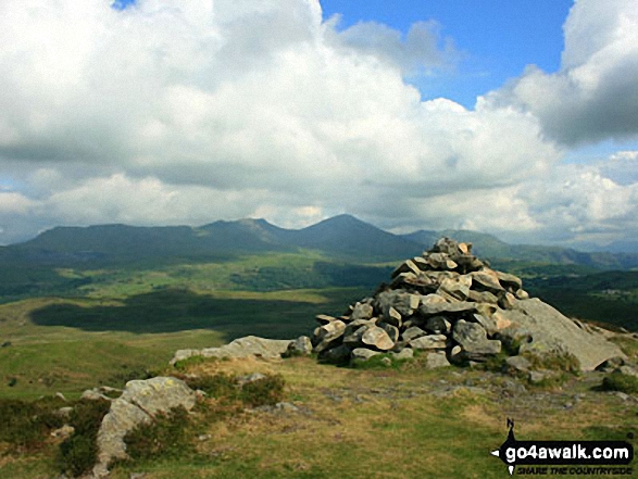
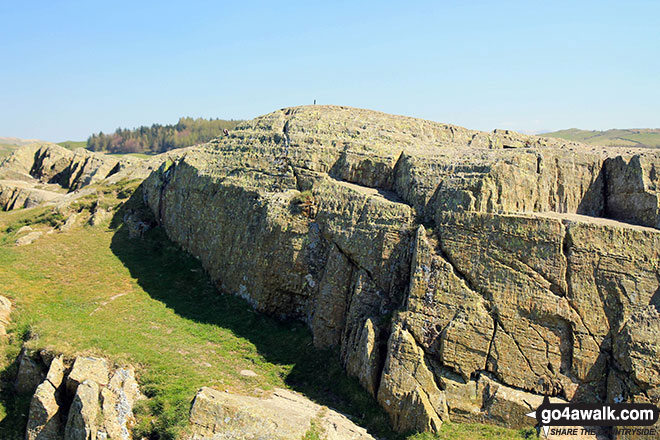
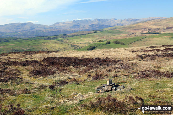
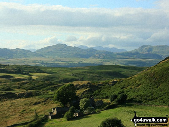
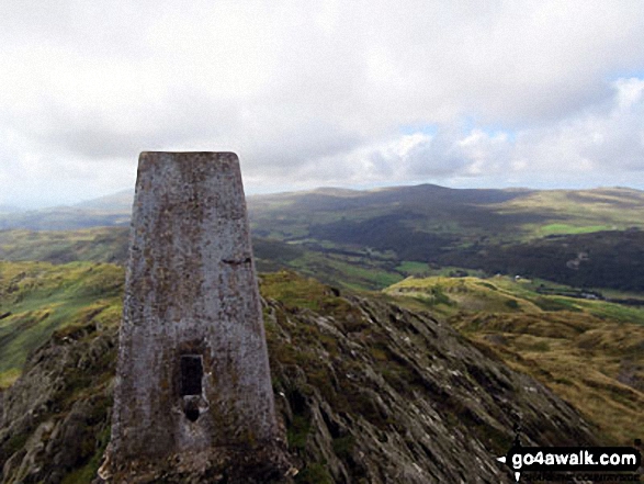
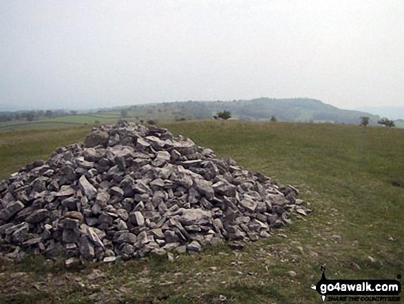
 The view from Scafell Pike in The Lake District
Photo: David Cochrane
- On an Interactive Google Map (loads faster)
- On an Interactive Google Map with a list of tops below it.
(makes it easier to locate a particular top) - On a Detailed List in:
Alphabetical Order | Height Order - On one page with 'yet-to-be-bagged' listed 1st & then 'already-bagged' tops listed 2nd in:
Alphabetical Order | Height Order - On one page with 'already-bagged' tops listed 1st & then 'yet-to-be-bagged' tops listed 2nd in:
Alphabetical Order | Height Order
# Whether you print copies or download them to your phone, these Peak Baggers' Maps will prove incredibly useful if you want to know what's what when you are up in the mountains and cannot get a phone signal.
Is there a Mountain, Peak, Top or Hill missing from the above google map or list?
Let us know an we will add it to our database.

To contribute to go4awalk.com or to contact us about anything at all - see Talk To Us.
For help see Help.
go4awalk.com and go4awalk.co.uk are registered trademarks of TMDH Limited.
Copyright © 2000-2026 TMDH Limited. All rights reserved.
Copyright Terms & Conditions Privacy Statement
A - Z Walks Home Log On/Accounts Photo Gallery Walk Ideas and Collections Fell Facts Hill Skills Walking Questions and Answers Your Stories News Competitions Product Reviews/Gear Tests Walking Gear Guides Peaks and Mountains Peak Bagging Find New Walking Friends Camping GPS Waypoints for Walking Contents Walk Search Talk To Us go4awalk.com Help Free Example Walks Newsletter


