   |
Vital Statistics:
| Length: | 4¾mls (7.5km) |
| Ascent: | 945ft (288m) |
| Time: | 2¾hrs |
| Grade: |  |
Route outline for walk c140:
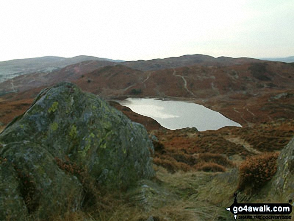
Brown Howe Car Park - Coniston Water - Beacon (Blawith Fells) - Beacon Tarn - Tarn Beck - Slaterstone Fell - Greenholme Farm - Water Yeat - Lake Bank - Fairholme Green - Brown Howe - Coniston Water.
Peaks, Summits and Tops reached on this walk:
 0 English Mountains |
 0 Wainwrights |
 0 English Nuttalls |
 0 English Deweys |
 1 Wainwright Outlying Fells |
 0 Marilyns |
 0 Bridgets |
Peak Bagging Statistics for this walk:
The highest point of this walk is Beacon (Blawith Fells) at 255m (836ft). Beacon (Blawith Fells) is also known as an Wainwright Outlying Fell (No. 87) Beacon (Blawith Fells) is called 'Beacon Fell' in Alfred Wainwright's 1974 book 'The Outlying Fells of Lakeland'.
You can find this walk and other nearby walks on these unique free-to-access Interactive Walk Planning Maps:
1:25,000 scale OS Explorer Map (orange/yellow covers):
1:50,000 scale OS Landranger Maps (pink/magenta covers):
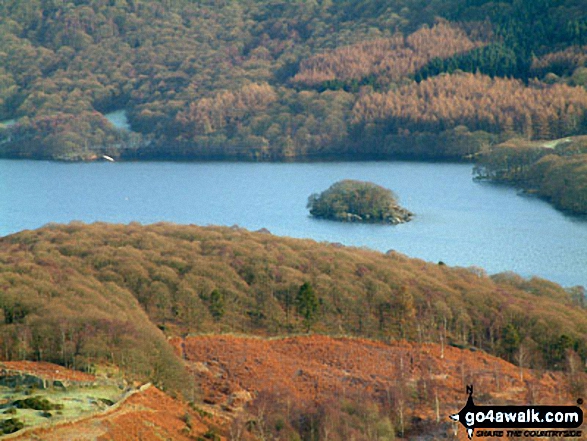
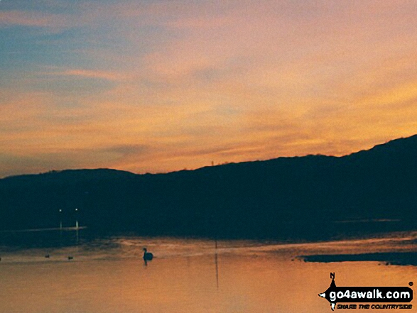
Some Photos and Pictures from Walk c140 Beacon (Blawith Fells) from Brown Howe
In no particular order . . .
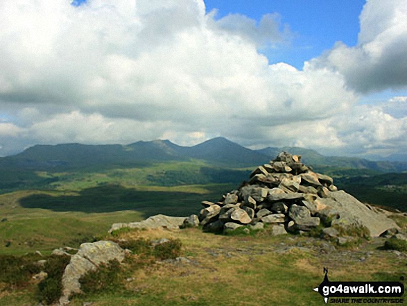
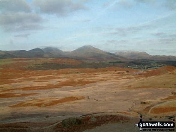
Walna Scar, Dow Crag and The Old Man of Coniston from Beacon (Blawith Fells)
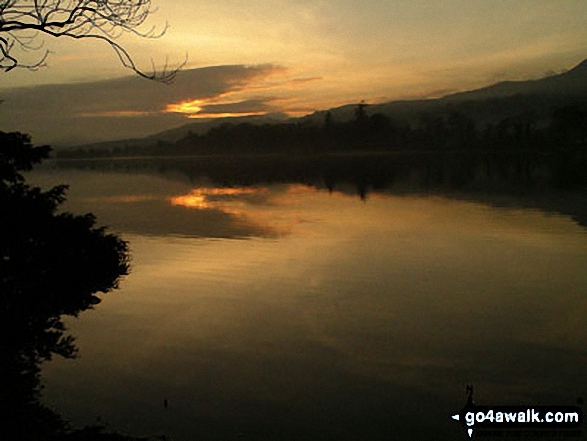
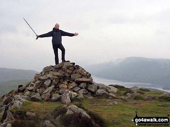
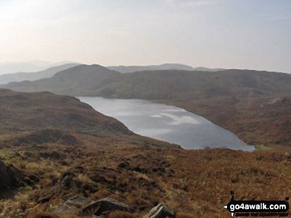
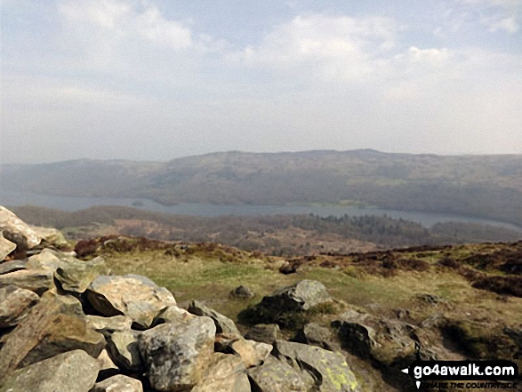
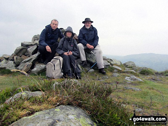
On the summit of Beacon (Blawith Fells) with Coniston Water and Carron Crag in the background
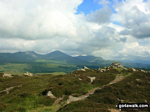
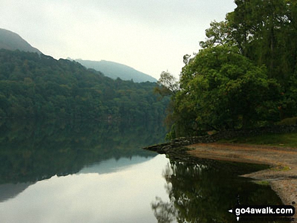
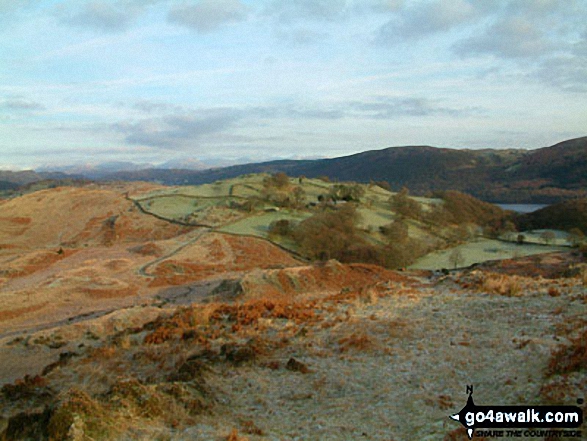
Blawith Common, Torver Low Common and The Coniston Fells from Beacon (Blawith Fells)
. . . load all 21 walk photos from Walk c140 Beacon (Blawith Fells) from Brown Howe
Send us your photographs and pictures from your walks and hikes
We would love to see your photographs and pictures from walk c140 Beacon (Blawith Fells) from Brown Howe. Send them in to us as email attachments (configured for any computer) along with your name and where the picture was taken to:
and we shall do our best to publish them.
(Guide Resolution = 300dpi. At least = 660 pixels (wide) x 440 pixels (high).)

You can also submit photos from walk c140 Beacon (Blawith Fells) from Brown Howe via our Facebook Page.
NB. Please indicate where each photo was taken.


