The South Western Marches area of The Lake District National Park - a fully detailed list of all the Mountains, Peaks, Tops and Hills
The South Western Marches area of The Lake District National Park, Cumbria is the area enclosed by:
- The Irish Sea to the South and West
- An imaginary line from Whitehaven to the Southern Tip of Wast Water and then Seathwaite (Duddon Valley) to the North East
- The River Duddon to the East
If you count only the Wainwright Outlying Fells there are 19 tops to climb, bag & conquer and the highest point is Black Combe at 600m (1,969ft).
To see these Mountains, Peaks, Tops and Hills displayed in different ways - see the options in the left-hand column and towards the bottom of this page.
![]() Your Personal Bagging Record for The South Western Marches area of The Lake District
Your Personal Bagging Record for The South Western Marches area of The Lake District
LOG ON and RELOAD this page to show which Mountains, Peaks, Tops and Hills you have already climbed, bagged & conquered [. . . more details]
See this list in: Alphabetical Order
| Height Order‡
To reverse the order select the link again.
Mountain, Peak, Top or Hill:
Bagged

![]()
1. Irton Pike
225m (738ft)
Irton Pike is on interactive maps:
A downloadable go4awalk.com PDF Peak Bagging Map featuring Irton Pike will be available soon. |
![]()
2. Muncaster Fell (Hooker Crag)
231m (758ft)
Muncaster Fell (Hooker Crag) is on interactive maps:
A downloadable go4awalk.com PDF Peak Bagging Map featuring Muncaster Fell (Hooker Crag) will be available soon. |
![]()
3. Water Crag (Birker Fell)
305m (1,001ft)
Water Crag (Birker Fell) is on interactive maps:
A downloadable go4awalk.com PDF Peak Bagging Map featuring Water Crag (Birker Fell) will be available soon. |
![]()
4. Seat How (Birker Fell)
311m (1,021ft)
Seat How (Birker Fell) is on interactive maps:
A downloadable go4awalk.com PDF Peak Bagging Map featuring Seat How (Birker Fell) will be available soon. |
![]()
5. Rough Crag (Birker Fell)
319m (1,047ft)
Rough Crag (Birker Fell) is on interactive maps:
A downloadable go4awalk.com PDF Peak Bagging Map featuring Rough Crag (Birker Fell) will be available soon. |
![]()
6. The Knott (Stainton Fell)
331m (1,086ft)
The Knott (Stainton Fell) is on interactive maps:
A downloadable go4awalk.com PDF Peak Bagging Map featuring The Knott (Stainton Fell) will be available soon. |
![]()
7. The Pike (Hesk Fell)
370m (1,214ft)
The Pike (Hesk Fell) is on interactive maps:
A downloadable go4awalk.com PDF Peak Bagging Map featuring The Pike (Hesk Fell) will be available soon. |
![]()
8. White Combe
415m (1,362ft)
White Combe is on interactive maps:
A downloadable go4awalk.com PDF Peak Bagging Map featuring White Combe will be available soon. |
![]()
9. White Pike (Birkby Fell)
442m (1,451ft)
White Pike (Birkby Fell) is on interactive maps:
A downloadable go4awalk.com PDF Peak Bagging Map featuring White Pike (Birkby Fell) will be available soon. |
![]()
10. Stoupdale Head
472m (1,549ft)
Stoupdale Head is on interactive maps:
A downloadable go4awalk.com PDF Peak Bagging Map featuring Stoupdale Head will be available soon. |
![]()
11. Hesk Fell (Ulpha Fell)
477m (1,565ft)
Hesk Fell (Ulpha Fell) is on interactive maps:
A downloadable go4awalk.com PDF Peak Bagging Map featuring Hesk Fell (Ulpha Fell) will be available soon. |
![]()
12. Woodend Height (Yoadcastle)
490m (1,608ft)
Woodend Height (Yoadcastle) is on interactive maps:
A downloadable go4awalk.com PDF Peak Bagging Map featuring Woodend Height (Yoadcastle) will be available soon. |
![]()
13. Yoadcastle
494m (1,621ft)
Yoadcastle is on interactive maps:
A downloadable go4awalk.com PDF Peak Bagging Map featuring Yoadcastle will be available soon. |
![]()
14. Stainton Pike
498m (1,634ft)
Stainton Pike is on interactive maps:
A downloadable go4awalk.com PDF Peak Bagging Map featuring Stainton Pike will be available soon. |
![]()
15. Kinmont Buck Barrow
535m (1,755ft)
Kinmont Buck Barrow is on interactive maps:
A downloadable go4awalk.com PDF Peak Bagging Map featuring Kinmont Buck Barrow will be available soon. |
![]()
16. Burn Moor
543m (1,782ft)
Burn Moor is on interactive maps:
A downloadable go4awalk.com PDF Peak Bagging Map featuring Burn Moor will be available soon. |
![]()
17. Buck Barrow
545m (1,788ft)
Buck Barrow is on interactive maps:
A downloadable go4awalk.com PDF Peak Bagging Map featuring Buck Barrow will be available soon. |
![]()
18. Whitfell (Whit Fell)
573m (1,880ft)
Whitfell (Whit Fell) is on interactive maps:
A downloadable go4awalk.com PDF Peak Bagging Map featuring Whitfell (Whit Fell) will be available soon. |
![]()
19. Black Combe
600m (1,969ft)
Black Combe is on interactive maps:
A downloadable go4awalk.com PDF Peak Bagging Map featuring Black Combe will be available soon. |
View these 19 Mountains, Peaks, Tops and Hills:
- On an Interactive Google Map (loads faster)
- On an Interactive Google Map with a list of tops below it.
(makes it easier to locate a particular top) - On a Detailed List in:
Alphabetical Order | Height Order - On one page with 'yet-to-be-bagged' listed 1st & then 'already-bagged' tops listed 2nd in:
Alphabetical Order | Height Order - On one page with 'already-bagged' tops listed 1st & then 'yet-to-be-bagged' tops listed 2nd in:
Alphabetical Order | Height Order
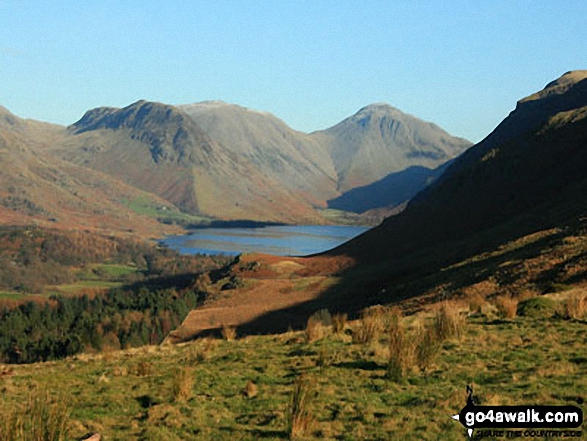
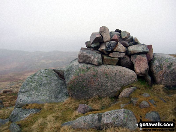
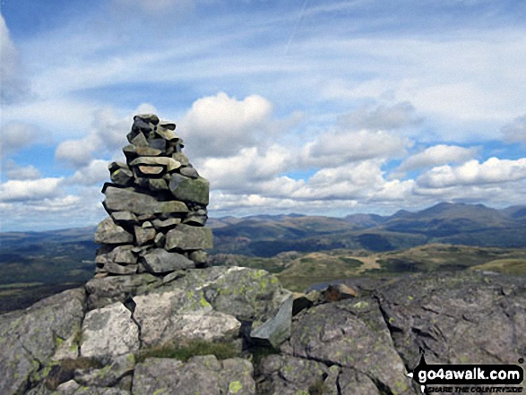
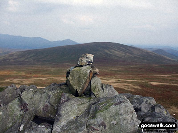
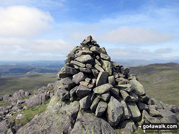
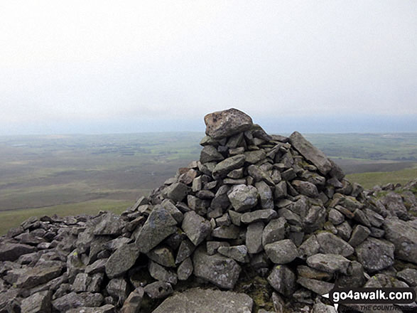
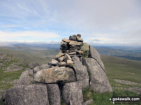
 Black Combe in The South Western Marches area of The Lake District
Photo: Nick Ford
Is there a Mountain, Peak, Top or Hill missing from the above google map or list?
Let us know an we will add it to our database.
To contribute to go4awalk.com or to contact us about anything at all - see Talk To Us.
For help see Help.
go4awalk.com and go4awalk.co.uk are registered trademarks of TMDH Limited.
Copyright © 2000-2025 TMDH Limited. All rights reserved.
Copyright Terms & Conditions Privacy Statement
A - Z Walks Home Log On/Accounts Photo Gallery Walk Ideas and Collections Fell Facts Hill Skills Walking Questions and Answers Your Stories News Competitions Product Reviews/Gear Tests Walking Gear Guides Peaks and Mountains Peak Bagging Find New Walking Friends Camping GPS Waypoints for Walking Contents Walk Search Talk To Us go4awalk.com Help Free Example Walks Newsletter


