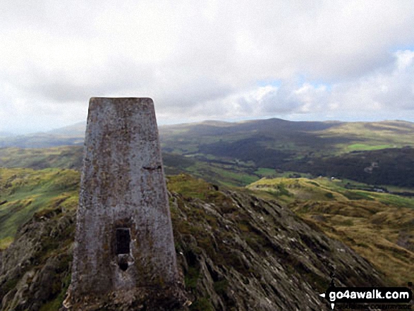
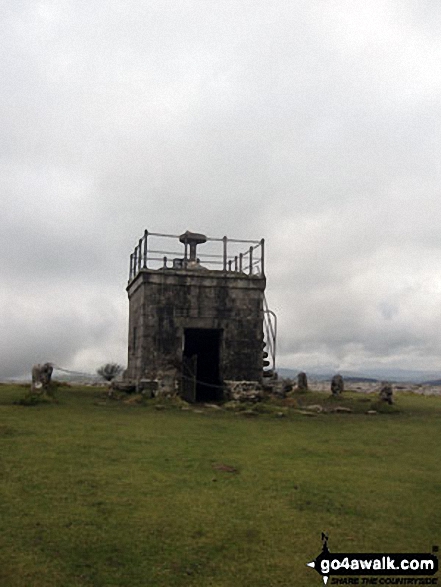
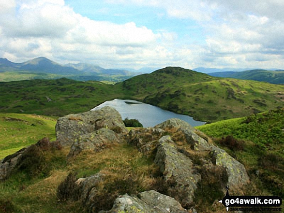
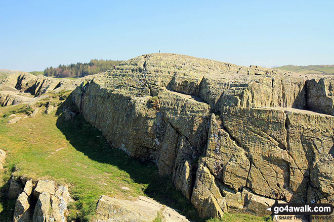
The Southern Marches area of The Lake District National Park - a fully detailed list of all the Mountains, Peaks, Tops and Hills
The Southern Marches area of The Lake District National Park, Cumbria is the area enclosed by:
- The Duddon Esturay to the West
- The River Duddon to Seathwaite (Duddon Valley), the Walna Scar Road to Coniston Village and then the A593 to Ambleside to the North West
- Lake Windermere & the A590 to Morecambe Bay to the East
- Then the Irish Sea to the South
If you count only the Wainwright Outlying Fells there are 34 tops to climb, bag & conquer and the highest point is Walna Scar at 621m (2,038ft).
To see these Mountains, Peaks, Tops and Hills displayed in different ways - see the options in the left-hand column and towards the bottom of this page.
LOG ON and RELOAD this page to show which Mountains, Peaks, Tops and Hills you have already climbed, bagged & conquered [. . . more details]
See this list in: Alphabetical Order
| Height Order‡
To reverse the order select the link again.
Mountain, Peak, Top or Hill:
Bagged
1. Walna Scar
621m (2,038ft)
See the location of Walna Scar and walks up it on a google Map Walna Scar is on interactive maps:
A downloadable go4awalk.com PDF Peak Bagging Map featuring Walna Scar will be available soon. |
2. Caw (Dunnerdale Fells)
529m (1,736ft)
See the location of Caw (Dunnerdale Fells) and walks up it on a google Map Caw (Dunnerdale Fells) is on interactive maps:
A downloadable go4awalk.com PDF Peak Bagging Map featuring Caw (Dunnerdale Fells) will be available soon. |
3. Pikes (Caw)
469m (1,539ft)
See the location of Pikes (Caw) and walks up it on a google Map Pikes (Caw) is on interactive maps:
A downloadable go4awalk.com PDF Peak Bagging Map featuring Pikes (Caw) will be available soon. |
4. Great Worm Crag
427m (1,401ft)
See the location of Great Worm Crag and walks up it on a google Map Great Worm Crag is on interactive maps:
A downloadable go4awalk.com PDF Peak Bagging Map featuring Great Worm Crag will be available soon. |
5. Green Pikes (Caw)
420m (1,378ft)
See the location of Green Pikes (Caw) and walks up it on a google Map Green Pikes (Caw) is on interactive maps:
A downloadable go4awalk.com PDF Peak Bagging Map featuring Green Pikes (Caw) will be available soon. |
6. Stickle Pike (Dunnerdale Fells)
375m (1,230ft)
See the location of Stickle Pike (Dunnerdale Fells) and walks up it on a google Map Stickle Pike (Dunnerdale Fells) is on interactive maps:
A downloadable go4awalk.com PDF Peak Bagging Map featuring Stickle Pike (Dunnerdale Fells) will be available soon. |
7. Raven's Crag (Stickle Pike)
361m (1,185ft)
See the location of Raven's Crag (Stickle Pike) and walks up it on a google Map Raven's Crag (Stickle Pike) is on interactive maps:
A downloadable go4awalk.com PDF Peak Bagging Map featuring Raven's Crag (Stickle Pike) will be available soon. |
8. Top o' Selside
335m (1,099ft)
Top o' Selside is on interactive maps:
A downloadable go4awalk.com PDF Peak Bagging Map featuring Top o' Selside will be available soon. |
9. Gummer's How
321m (1,054ft)
Gummer's How is on interactive maps:
A downloadable go4awalk.com PDF Peak Bagging Map featuring Gummer's How will be available soon. |
10. Carron Crag
314m (1,031ft)
See the location of Carron Crag and walks up it on a google Map Carron Crag is on interactive maps:
A downloadable go4awalk.com PDF Peak Bagging Map featuring Carron Crag will be available soon. |
11. Tarn Hill (Dunnerdale Fells)
311m (1,020ft)
Tarn Hill (Dunnerdale Fells) is on interactive maps:
A downloadable go4awalk.com PDF Peak Bagging Map featuring Tarn Hill (Dunnerdale Fells) will be available soon. |
12. Great Stickle (Dunnerdale Fells)
305m (1,001ft)
See the location of Great Stickle (Dunnerdale Fells) and walks up it on a google Map Great Stickle (Dunnerdale Fells) is on interactive maps:
A downloadable go4awalk.com PDF Peak Bagging Map featuring Great Stickle (Dunnerdale Fells) will be available soon. |
13. Burney (Great Burney)
298m (978ft)
Burney (Great Burney) is on interactive maps:
A downloadable go4awalk.com PDF Peak Bagging Map featuring Burney (Great Burney) will be available soon. |
14. The Knott (Dunnerdale Fells)
284m (932ft)
See the location of The Knott (Dunnerdale Fells) and walks up it on a google Map The Knott (Dunnerdale Fells) is on interactive maps:
A downloadable go4awalk.com PDF Peak Bagging Map featuring The Knott (Dunnerdale Fells) will be available soon. |
15. Dunnerdale Fell (Broughton Mills)
280m (919ft)
See the location of Dunnerdale Fell (Broughton Mills) and walks up it on a google Map Dunnerdale Fell (Broughton Mills) is on interactive maps:
A downloadable go4awalk.com PDF Peak Bagging Map featuring Dunnerdale Fell (Broughton Mills) will be available soon. |
16. Claife Heights (High Blind How)
270m (886ft)
See the location of Claife Heights (High Blind How) and walks up it on a google Map Claife Heights (High Blind How) is on interactive maps:
A downloadable go4awalk.com PDF Peak Bagging Map featuring Claife Heights (High Blind How) will be available soon. |
17. Staveley Fell
265m (870ft)
Staveley Fell is on interactive maps:
A downloadable go4awalk.com PDF Peak Bagging Map featuring Staveley Fell will be available soon. |
18. High Light Haw (Top o' Selside)
259m (850ft)
High Light Haw (Top o' Selside) is on interactive maps:
A downloadable go4awalk.com PDF Peak Bagging Map featuring High Light Haw (Top o' Selside) will be available soon. |
19. Beacon (Blawith Fells)
255m (836ft)
See the location of Beacon (Blawith Fells) and walks up it on a google Map Beacon (Blawith Fells) is on interactive maps:
A downloadable go4awalk.com PDF Peak Bagging Map featuring Beacon (Blawith Fells) will be available soon. |
20. Grandsire
251m (824ft)
Grandsire is on interactive maps:
A downloadable go4awalk.com PDF Peak Bagging Map featuring Grandsire will be available soon. |
21. Blawith Knott
246m (807ft)
Blawith Knott is on interactive maps:
A downloadable go4awalk.com PDF Peak Bagging Map featuring Blawith Knott will be available soon. |
22. Low Light Haw (Top o' Selside)
245m (804ft)
Low Light Haw (Top o' Selside) is on interactive maps:
A downloadable go4awalk.com PDF Peak Bagging Map featuring Low Light Haw (Top o' Selside) will be available soon. |
23. Latterbarrow
244m (801ft)
See the location of Latterbarrow and walks up it on a google Map Latterbarrow is on interactive maps:
A downloadable go4awalk.com PDF Peak Bagging Map featuring Latterbarrow will be available soon. |
24. School Knott
232m (761ft)
See the location of School Knott and walks up it on a google Map School Knott is on interactive maps:
A downloadable go4awalk.com PDF Peak Bagging Map featuring School Knott will be available soon. |
25. Brock Barrow (Top o' Selside)
229m (752ft)
Brock Barrow (Top o' Selside) is on interactive maps:
A downloadable go4awalk.com PDF Peak Bagging Map featuring Brock Barrow (Top o' Selside) will be available soon. |
26. Tottlebank Height
229m (752ft)
Tottlebank Height is on interactive maps:
A downloadable go4awalk.com PDF Peak Bagging Map featuring Tottlebank Height will be available soon. |
27. Hampsfell
221m (725ft)
See the location of Hampsfell and walks up it on a google Map Hampsfell is on interactive maps:
A downloadable go4awalk.com PDF Peak Bagging Map featuring Hampsfell will be available soon. |
28. Wool Knott (Woodland Fell)
213m (699ft)
Wool Knott (Woodland Fell) is on interactive maps:
A downloadable go4awalk.com PDF Peak Bagging Map featuring Wool Knott (Woodland Fell) will be available soon. |
29. Yew Bank (Blawith Fells)
207m (679ft)
See the location of Yew Bank (Blawith Fells) and walks up it on a google Map Yew Bank (Blawith Fells) is on interactive maps:
A downloadable go4awalk.com PDF Peak Bagging Map featuring Yew Bank (Blawith Fells) will be available soon. |
30. Brant Fell
191m (626ft)
Brant Fell is on interactive maps:
A downloadable go4awalk.com PDF Peak Bagging Map featuring Brant Fell will be available soon. |
31. Bigland Barrow
183m (601ft)
Bigland Barrow is on interactive maps:
A downloadable go4awalk.com PDF Peak Bagging Map featuring Bigland Barrow will be available soon. |
32. Finsthwaite Heights
170m (558ft)
Finsthwaite Heights is on interactive maps:
A downloadable go4awalk.com PDF Peak Bagging Map featuring Finsthwaite Heights will be available soon. |
33. Cartmel Fell (Raven's Barrow)
152m (499ft)
Cartmel Fell (Raven's Barrow) is on interactive maps:
A downloadable go4awalk.com PDF Peak Bagging Map featuring Cartmel Fell (Raven's Barrow) will be available soon. |
34. Humphrey Head
53m (173ft)
See the location of Humphrey Head and walks up it on a google Map Humphrey Head is on interactive maps:
A downloadable go4awalk.com PDF Peak Bagging Map featuring Humphrey Head will be available soon. |
View these 34 Mountains, Peaks, Tops and Hills:
- On an Interactive Google Map (loads faster)
- On an Interactive Google Map with a list of tops below it.
(makes it easier to locate a particular top) - On a Detailed List in:
Alphabetical Order | Height Order - On one page with 'yet-to-be-bagged' listed 1st & then 'already-bagged' tops listed 2nd in:
Alphabetical Order | Height Order - On one page with 'already-bagged' tops listed 1st & then 'yet-to-be-bagged' tops listed 2nd in:
Alphabetical Order | Height Order
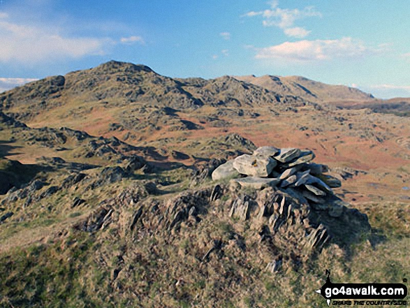
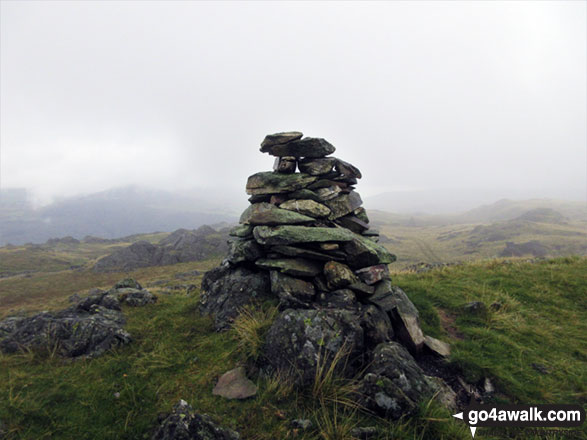
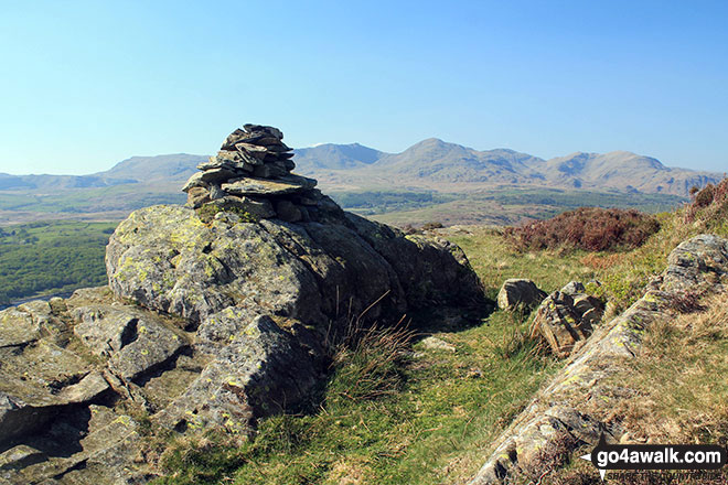
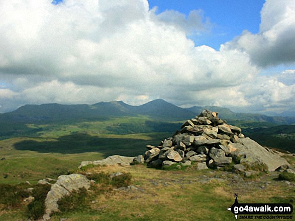
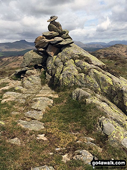
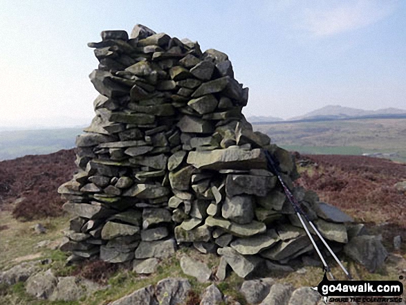
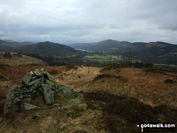
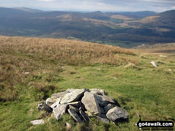 The summit of Walna Scar in The Southern Marches area of The Lake District
Photo: Christine Shepherd
Is there a Mountain, Peak, Top or Hill missing from the above google map or list?
Let us know an we will add it to our database.

