
![]()
Finsthwaite Heights
170m (558ft)
The Southern Marches, The Lake District, Cumbria, England
Not familiar with this top?
See Finsthwaite Heights and the surrounding tops on our free-to-access 'Google Style' Peak Bagging Maps:
The Southern Marches area of The Lake District National Park
Less data - quicker to download
The Whole of The Lake District National Park
More data - might take a little longer to download
A go4awalk.com downloadable Peak Bagging Map in PDF format featuring Finsthwaite Heights should be available soon.
You can find Finsthwaite Heights & all the walks that climb it on these unique free-to-access Interactive Walk Planning Maps:
1:25,000 scale OS Explorer Map (orange/yellow covers):
1:50,000 scale OS Landranger Maps (pink/magenta covers):
 Fellow go4awalkers who have already walked, climbed, summited & bagged Finsthwaite Heights
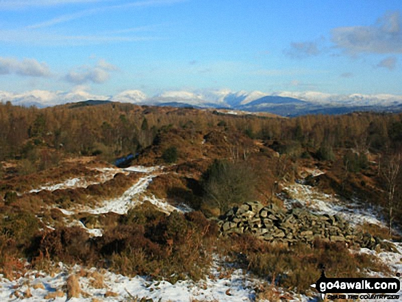
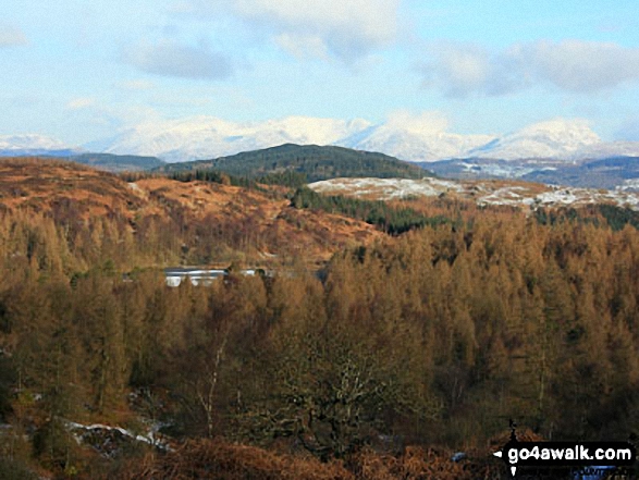
Trevor Williams walked up Finsthwaite Heights on December 15th, 2022 [with] Paul Booth [weather] Below freezing, snow, blue skies brilliant.
Adrian Howard climbed Finsthwaite Heights on November 8th, 2021 [from/via/route] From Finsthwaite, taking in High Dam, Rusland Heights, Yew Barrow, Boretree Tarn.
Mark Davidson bagged Finsthwaite Heights on September 19th, 2016 [with] Alone - Met an extremely rude & unpleasant farmer on the way down.
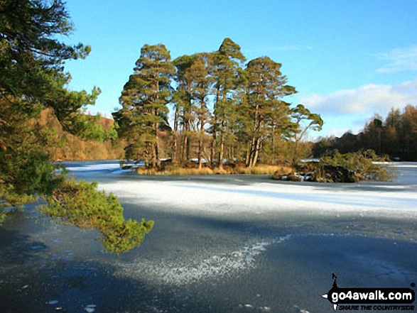
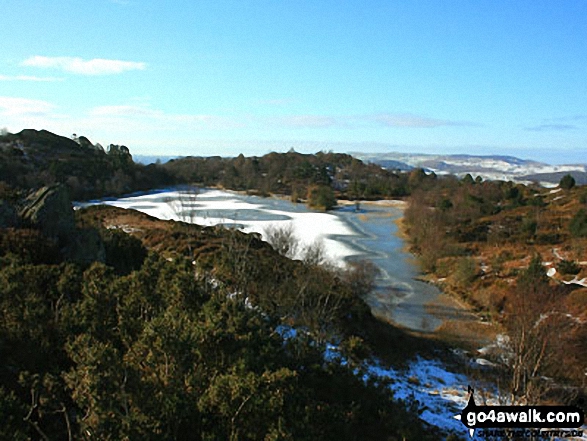
Christine Shepherd hiked Finsthwaite Heights on February 9th, 2015 [from/via/route] Walked from Newby Bridge using Wainwright Outlying Fells book [with] Jenny [weather] Climbed above the mist into glorious sunshine. - A sheer delight!
Paul Booth, Peter Thwaites, Louise Sandwith, David Preston and Jeanette Coward have all walked, climbed & bagged Finsthwaite Heights.
To add (or remove) your name and experiences on this page - Log On and edit your Personal Mountain Bagging Record
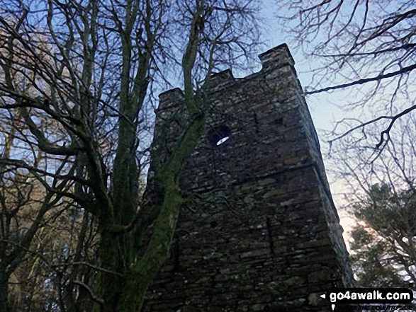
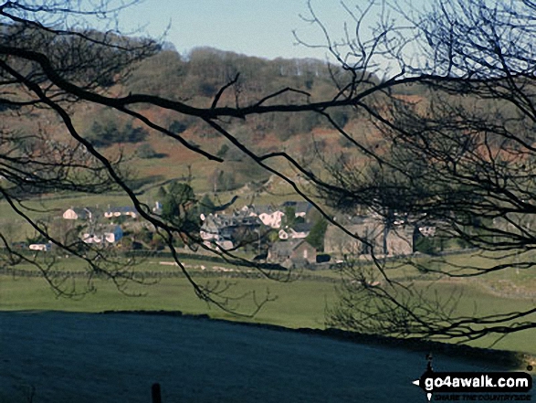
More Photographs & Pictures of views from, on or of Finsthwaite Heights
Send us your photographs and pictures on, of, or from Finsthwaite Heights
If you would like to add your walk photographs and pictures featuring views from, on or of Finsthwaite Heights to this page, please send them as email attachments (configured for any computer) along with your name to:
and we shall do our best to publish them.
(Guide Resolution = 300dpi. At least = 660pixels (wide) x 440 pixels (high).)

You can also submit photos via our Facebook Page.
NB. Please indicate where each photo was taken and whether you wish us to credit your photos with a Username or your First Name/Last Name.
Not familiar with this top?


