The North West region of England - a fully detailed list of all the Mountains, Peaks, Tops and Hills (Page 12 of 16)
The North West region of England comprises the traditional counties of Cheshire, Cumbria, Greater Manchester, Lancashire and Mersyside and includes The Lake District National Park, The Forest of Bowland, parts of The Yorkshire Dales National Park and parts of the Peak District National Park.
If you include all the Mountains (Hewitts), the Deweys, the Nuttalls, the Marilyns, the Bridgets (Hills) and all the Mountains, Tops, Peaks and Hills with a Trig Point on them there are 464 tops to climb, bag & conquer and the highest point is Scafell Pike at 978m (3,210ft).
To see these Mountains, Peaks, Tops and Hills displayed in different ways - see the options in the left-hand column and towards the bottom of this page.
![]() Your Personal Bagging Record for North West of
Your Personal Bagging Record for North West of
LOG ON and RELOAD this page to show which Mountains, Peaks, Tops and Hills you have already climbed, bagged & conquered [. . . more details]
See this list in: Alphabetical Order‡
| Height Order
To reverse the order select the link again.
Mountain, Peak, Top or Hill:
Bagged

![]()
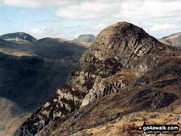
331. Pike of Stickle (Pike o' Stickle)
708m (2,324ft)
Pike of Stickle (Pike o' Stickle) is on interactive maps:
Pike of Stickle (Pike o' Stickle) is on downloadable PDF you can Print or Save to your Phone: *Version including the walk routes marked on it that you need to follow to Walk all 214 Wainwrights in just 59 walks. |

![]()
332. Pillar
892m (2,928ft)
Pillar is on interactive maps:
Pillar is on downloadable PDF you can Print or Save to your Phone: *Version including the walk routes marked on it that you need to follow to Walk all 214 Wainwrights in just 59 walks. |

![]()
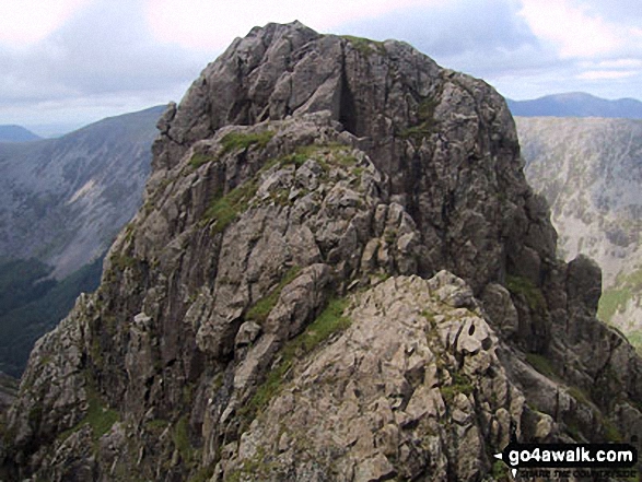
333. Pillar Rock
780m (2,559ft)
Pillar Rock is on interactive maps:
Pillar Rock is on downloadable PDF you can Print or Save to your Phone: *Version including the walk routes marked on it that you need to follow to Walk all 214 Wainwrights in just 59 walks. |
![]()
334. Place Fell
657m (2,156ft)
Place Fell is on interactive maps:
Place Fell is on downloadable PDF you can Print or Save to your Phone: *Version including the walk routes marked on it that you need to follow to Walk all 214 Wainwrights in just 59 walks. |

![]()
335. Powson Knott (Great Asby Scar)
412m (1,352ft)
Send it in and we'll publish it here.
Powson Knott (Great Asby Scar) is on interactive maps:
Powson Knott (Great Asby Scar) is on downloadable PDF you can Print or Save to your Phone: |
![]()
336. Quarrystone Bank (Whinfell Forest)
254m (833ft)
Send it in and we'll publish it here.
Quarrystone Bank (Whinfell Forest) is on interactive maps:
Quarrystone Bank (Whinfell Forest) is on downloadable PDF you can Print or Save to your Phone: |
![]()
337. Raise (Helvellyn)
883m (2,898ft)
Raise (Helvellyn) is on interactive maps:
Raise (Helvellyn) is on downloadable PDF you can Print or Save to your Phone: *Version including the walk routes marked on it that you need to follow to Walk all 214 Wainwrights in just 59 walks. |
![]()
338. Rampsgill Head
792m (2,600ft)
Rampsgill Head is on interactive maps:
Rampsgill Head is on downloadable PDF you can Print or Save to your Phone: *Version including the walk routes marked on it that you need to follow to Walk all 214 Wainwrights in just 59 walks. |

![]()
339. Randerside
722m (2,370ft)
Randerside is on interactive maps:
Randerside is on downloadable PDF you can Print or Save to your Phone: *Version including the walk routes marked on it that you need to follow to Walk all 214 Wainwrights in just 59 walks. |
![]()
340. Randygill Top
624m (2,047ft)
Randygill Top is on interactive maps:
Randygill Top is on downloadable PDF you can Print or Save to your Phone: |
![]()
341. Ravensworth Fell
401m (1,316ft)
Ravensworth Fell is on interactive maps:
Ravensworth Fell is on downloadable PDF you can Print or Save to your Phone: |
![]()
342. Raw Head (Rawhead)
227m (745ft)
Raw Head (Rawhead) is on interactive maps:
Raw Head (Rawhead) is on downloadable PDF you can Print or Save to your Phone: |
![]()
343. Red Beck Top
721m (2,366ft)
Red Beck Top is on interactive maps:
Red Beck Top is on downloadable PDF you can Print or Save to your Phone: *Version including the walk routes marked on it that you need to follow to Walk all 214 Wainwrights in just 59 walks. |
![]()
344. Red Pike (Buttermere)
755m (2,478ft)
Red Pike (Buttermere) is on interactive maps:
Red Pike (Buttermere) is on downloadable PDF you can Print or Save to your Phone: *Version including the walk routes marked on it that you need to follow to Walk all 214 Wainwrights in just 59 walks. |
![]()
345. Red Pike (Wasdale)
826m (2,711ft)
Red Pike (Wasdale) is on interactive maps:
Red Pike (Wasdale) is on downloadable PDF you can Print or Save to your Phone: *Version including the walk routes marked on it that you need to follow to Walk all 214 Wainwrights in just 59 walks. |
![]()
346. Red Screes
776m (2,547ft)
Red Screes is on interactive maps:
Red Screes is on downloadable PDF you can Print or Save to your Phone: *Version including the walk routes marked on it that you need to follow to Walk all 214 Wainwrights in just 59 walks. |

![]()
347. Renwick Fell (Thack Moor)
609m (2,000ft)
Renwick Fell (Thack Moor) is on interactive maps:
Renwick Fell (Thack Moor) is on downloadable PDF you can Print or Save to your Phone: |
![]()
348. Rest Dodd
696m (2,284ft)
Rest Dodd is on interactive maps:
Rest Dodd is on downloadable PDF you can Print or Save to your Phone: *Version including the walk routes marked on it that you need to follow to Walk all 214 Wainwrights in just 59 walks. |

![]()
349. Robinson
737m (2,419ft)
Robinson is on interactive maps:
Robinson is on downloadable PDF you can Print or Save to your Phone: *Version including the walk routes marked on it that you need to follow to Walk all 214 Wainwrights in just 59 walks. |

![]()
350. Roman Fell
594m (1,950ft)
Roman Fell is on interactive maps:
Roman Fell is on downloadable PDF you can Print or Save to your Phone: |
![]()
351. Rossett Pike
651m (2,136ft)
Rossett Pike is on interactive maps:
Rossett Pike is on downloadable PDF you can Print or Save to your Phone: *Version including the walk routes marked on it that you need to follow to Walk all 214 Wainwrights in just 59 walks. |
![]()
352. Rosthwaite Cam (Rosthwaite Fell)
612m (2,008ft)
Rosthwaite Cam (Rosthwaite Fell) is on interactive maps:
Rosthwaite Cam (Rosthwaite Fell) is on downloadable PDF you can Print or Save to your Phone: *Version including the walk routes marked on it that you need to follow to Walk all 214 Wainwrights in just 59 walks. |

![]()
353. Rosthwaite Fell (Bessyboot)
551m (1,808ft)
Rosthwaite Fell (Bessyboot) is on interactive maps:
Rosthwaite Fell (Bessyboot) is on downloadable PDF you can Print or Save to your Phone: *Version including the walk routes marked on it that you need to follow to Walk all 214 Wainwrights in just 59 walks. |
![]()
354. Rough Crag (Riggindale)
628m (2,060ft)
Rough Crag (Riggindale) is on interactive maps:
Rough Crag (Riggindale) is on downloadable PDF you can Print or Save to your Phone: *Version including the walk routes marked on it that you need to follow to Walk all 214 Wainwrights in just 59 walks. |
![]()
355. Rough Hill (Shore Moor)
434m (1,424ft)
Rough Hill (Shore Moor) is on interactive maps:
Rough Hill (Shore Moor) is on downloadable PDF you can Print or Save to your Phone: |
![]()
356. Round Hill (Tyne Head)
686m (2,251ft)
Round Hill (Tyne Head) is on interactive maps:
Round Hill (Tyne Head) is on downloadable PDF you can Print or Save to your Phone: |
![]()
357. Round How (Matterdale)
387m (1,270ft)
Send it in and we'll publish it here.
Round How (Matterdale) is on interactive maps:
Round How (Matterdale) is on downloadable PDF you can Print or Save to your Phone: *Version including the walk routes marked on it that you need to follow to Walk all 214 Wainwrights in just 59 walks. |
![]()
358. Round How (Scafell)
741m (2,432ft)
Round How (Scafell) is on interactive maps:
Round How (Scafell) is on downloadable PDF you can Print or Save to your Phone: *Version including the walk routes marked on it that you need to follow to Walk all 214 Wainwrights in just 59 walks. |
![]()
359. Rydal Fell (Heron Pike North Top)
621m (2,038ft)
Rydal Fell (Heron Pike North Top) is on interactive maps:
Rydal Fell (Heron Pike North Top) is on downloadable PDF you can Print or Save to your Phone: *Version including the walk routes marked on it that you need to follow to Walk all 214 Wainwrights in just 59 walks. |
![]()
360. Sail (Derwent Fells)
773m (2,536ft)
Sail (Derwent Fells) is on interactive maps:
Sail (Derwent Fells) is on downloadable PDF you can Print or Save to your Phone: *Version including the walk routes marked on it that you need to follow to Walk all 214 Wainwrights in just 59 walks. |
View these 464 Mountains, Peaks, Tops and Hills:
- On an Interactive Google Map with a list of tops below it.
(makes it easier to locate a particular top) - On a Detailed List in:
Alphabetical Order | Height Order - On one page with 'yet-to-be-bagged' listed 1st
& then 'already-bagged' tops listed 2nd in:
Alphabetical Order | Height Order - On one page with 'already-bagged' tops listed 1st
& then 'yet-to-be-bagged' tops listed 2nd in:
Alphabetical Order | Height Order
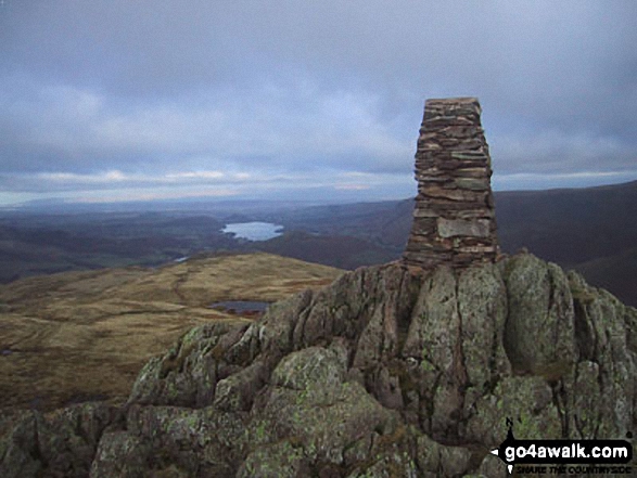
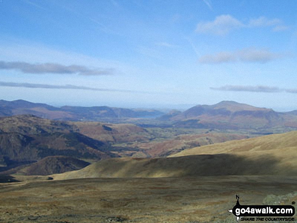
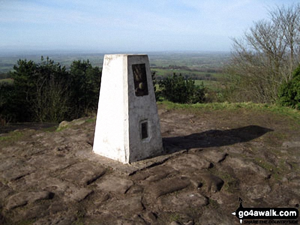
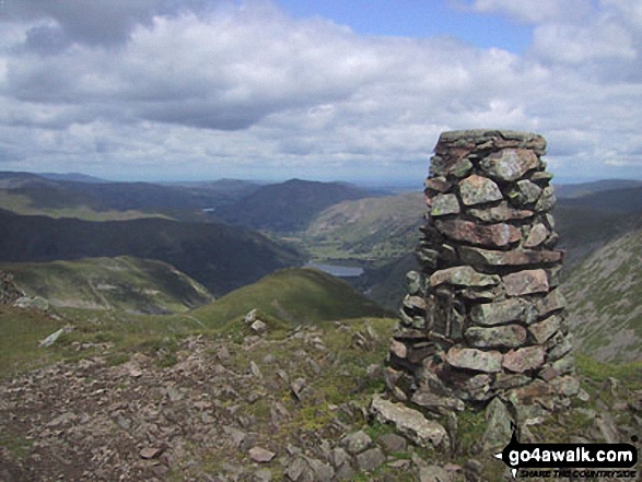
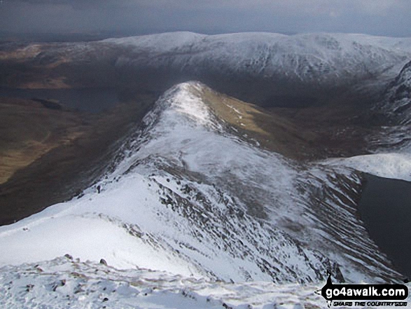
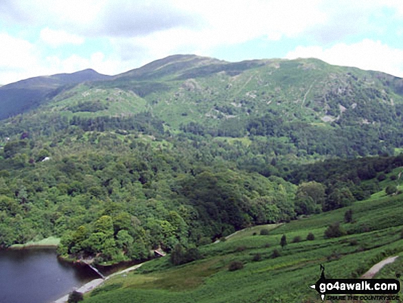
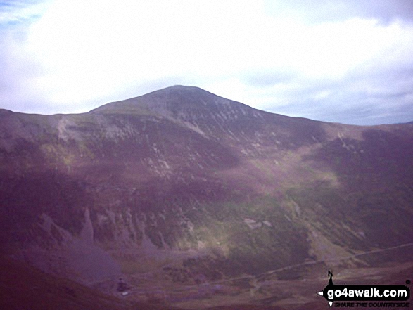
 The view from Scafell Pike in The North Western Fells area of The Lake District
Photo: David Cochrane
Is there a Mountain, Peak, Top or Hill missing from the above google map or list?
Let us know an we will add it to our database.
To contribute to go4awalk.com or to contact us about anything at all - see Talk To Us.
For help see Help.
go4awalk.com and go4awalk.co.uk are registered trademarks of TMDH Limited.
Copyright © 2000-2026 TMDH Limited. All rights reserved.
Copyright Terms & Conditions Privacy Statement
A - Z Walks Home Log On/Accounts Photo Gallery Walk Ideas and Collections Fell Facts Hill Skills Walking Questions and Answers Your Stories News Competitions Product Reviews/Gear Tests Walking Gear Guides Peaks and Mountains Peak Bagging Find New Walking Friends Camping GPS Waypoints for Walking Contents Walk Search Talk To Us go4awalk.com Help Free Example Walks Newsletter


