All the Mountains, Peaks, Tops and Hills in Snowdonia National Park, Clwyd, Conwy, Gwynedd and Powys, Wales as a detailed list

Snowdonia National Park, Clwyd, Conwy, Gwynedd and Powys is the area of Wales within the Snowdonia National Park boundary including the non-National Park 'island' around Blaenau Ffestiniog.


If you count only the Deweys there are 82 tops to climb, bag & conquer and the highest point is Craig Fach at 609m (1,999ft).

Wainwright
0/0
Wainwrights

Hewitt
88/0
Welsh
Mountains

Dewey
82/0
Welsh
Deweys

nuttall
121/0
Welsh
Nuttalls

Wainwright Outlying Fell
0/0
Wainwright
Outlying Fells

marilyn
47/0
Welsh
Marilyns

Bridget
32/0
Welsh
Bridgets

Trig Point
33/0
Trig
Points


To see all Mountains, Peaks, Tops and Hills displayed in different ways - see the options in the left-hand column and towards the bottom of this page.


LOG ON and RELOAD this page to show which Mountains, Peaks, Tops and Hills you have already climbed, bagged & conquered [. . . more]


Page 2 of 3    Go to page: 1 2 3


See this list in: Alphabetical Order | Height Order
To reverse the order select the link again.


Mountain, Peak, Top or Hill:

Bagged


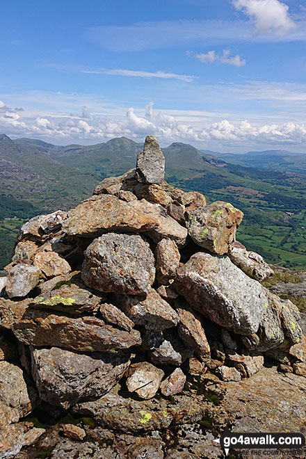
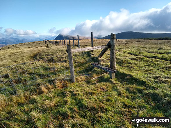
31. Graig Wen (Arenigs)

556m (1,825ft)

  • Dewey (78th in Wales, 138th in England & Wales)

  • We hope to have walks that climb & bag Graig Wen (Arenigs) very soon

    Google Maps Icon
    See the location of Graig Wen (Arenigs) and walks up it on a google Map

    Graig Wen (Arenigs) is on interactive maps:

  • OS Explorer (Orange Covers): OL18
  • OS Landranger (Pink Covers): 124

  • Graig Wen (Arenigs) is on Peak Bagging Map and Hill Tick List:


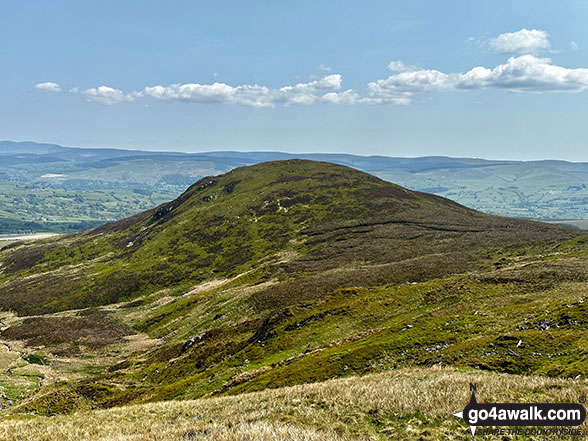
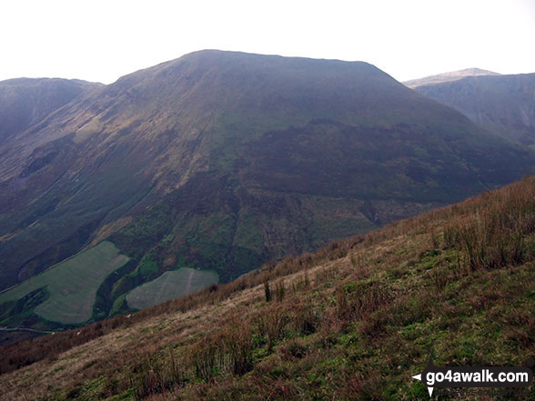
    32. Craig Nyth-y-gigfran

    554m (1,818ft)

  • Dewey (84th in Wales, 147th in England & Wales)

  • We hope to have walks that climb & bag Craig Nyth-y-gigfran very soon

    Google Maps Icon
    See the location of Craig Nyth-y-gigfran and walks up it on a google Map

    Craig Nyth-y-gigfran is on interactive maps:

  • OS Explorer (Orange Covers): OL17
  • OS Landranger (Pink Covers): 117

  • Craig Nyth-y-gigfran is on Peak Bagging Map and Hill Tick List:


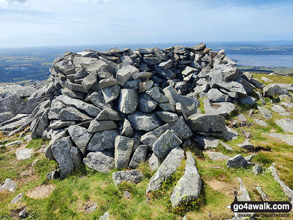
    33. Tarren Cwm-ffernol

    551m (1,818ft)

  • Dewey (83rd in Wales, 146th in England & Wales)

  • We hope to have walks that climb & bag Tarren Cwm-ffernol very soon

    Google Maps Icon
    See the location of Tarren Cwm-ffernol and walks up it on a google Map

    Tarren Cwm-ffernol is on interactive maps:

  • OS Explorer (Orange Covers): OL23
  • OS Landranger (Pink Covers): 135

  • Tarren Cwm-ffernol is on Peak Bagging Map and Hill Tick List:


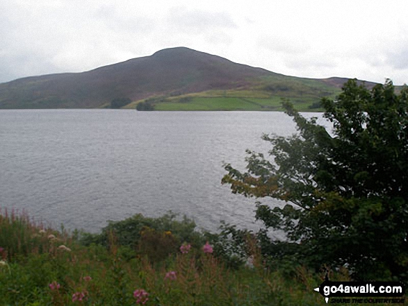
    34. Rhinog Fawr (North Top) (Craig Llyn Du)

    553m (1,815ft)

  • Dewey (85th in Wales, 149th in England & Wales)

  • We hope to have walks that climb & bag Rhinog Fawr (North Top) (Craig Llyn Du) very soon

    Google Maps Icon
    See the location of Rhinog Fawr (North Top) (Craig Llyn Du) and walks up it on a google Map

    Rhinog Fawr (North Top) (Craig Llyn Du) is on interactive maps:

  • OS Explorer (Orange Covers): OL18
  • OS Landranger (Pink Covers): 124

  • Rhinog Fawr (North Top) (Craig Llyn Du) is on Peak Bagging Map and Hill Tick List:


    35. Moel-ddu (Moel Hebog)

    553m (1,814ft)

  • Dewey (86th in Wales, 150th in England & Wales)
  • Marilyn (67th in Wales, 866th in GB)

  • We hope to have walks that climb & bag Moel-ddu (Moel Hebog) very soon

    Google Maps Icon
    See the location of Moel-ddu (Moel Hebog) and walks up it on a google Map

    Moel-ddu (Moel Hebog) is on interactive maps:

  • OS Explorer (Orange Covers): OL17
  • OS Landranger (Pink Covers): 124

  • Moel-ddu (Moel Hebog) is on Peak Bagging Map and Hill Tick List:


    36. Y Garnedd (Llyn Morwynion)

    552m (1,811ft)

  • Dewey (87th in Wales, 154th in England & Wales)

  • We hope to have walks that climb & bag Y Garnedd (Llyn Morwynion) very soon

    Google Maps Icon
    See the location of Y Garnedd (Llyn Morwynion) and walks up it on a google Map

    Y Garnedd (Llyn Morwynion) is on interactive maps:

  • OS Explorer (Orange Covers): OL18
  • OS Landranger (Pink Covers): 124

  • Y Garnedd (Llyn Morwynion) is on Peak Bagging Map and Hill Tick List:


    37. Moel Ymenyn

    550m (1,805ft)

  • Dewey (93rd in Wales, 165th in England & Wales)

  • We hope to have walks that climb & bag Moel Ymenyn very soon

    Google Maps Icon
    See the location of Moel Ymenyn and walks up it on a google Map

    Moel Ymenyn is on interactive maps:

  • OS Explorer (Orange Covers): OL18 and OL23
  • OS Landranger (Pink Covers): 124 and 125

  • Moel Ymenyn is on Peak Bagging Map and Hill Tick List:


    38. Craig Wen

    548m (1,799ft)

  • Dewey (98th in Wales, 172nd in England & Wales)

  • To walk, climb & bag Craig Wen use this easy to follow walk:

    Google Maps Icon
    See the location of Craig Wen and walks up it on a google Map

    Craig Wen is on interactive maps:

  • OS Explorer (Orange Covers): OL17
  • OS Landranger (Pink Covers): 115

  • Craig Wen is on Peak Bagging Map and Hill Tick List:


    39. Moel Eilio (Dolgarrog)

    546m (1,792ft)

  • Dewey (103rd in Wales, 181st in England & Wales)

  • We hope to have walks that climb & bag Moel Eilio (Dolgarrog) very soon

    Google Maps Icon
    See the location of Moel Eilio (Dolgarrog) and walks up it on a google Map

    Moel Eilio (Dolgarrog) is on interactive maps:

  • OS Explorer (Orange Covers): OL17
  • OS Landranger (Pink Covers): 117

  • Moel Eilio (Dolgarrog) is on Peak Bagging Map and Hill Tick List:


    40. Braich Ddu (Craig Cwm-llwyd)

    546m (1,791ft)

  • Dewey (104th in Wales, 185th in England & Wales)

  • We hope to have walks that climb & bag Braich Ddu (Craig Cwm-llwyd) very soon

    Google Maps Icon
    See the location of Braich Ddu (Craig Cwm-llwyd) and walks up it on a google Map

    Braich Ddu (Craig Cwm-llwyd) is on interactive maps:

  • OS Explorer (Orange Covers): OL23
  • OS Landranger (Pink Covers): 124

  • Braich Ddu (Craig Cwm-llwyd) is on Peak Bagging Map and Hill Tick List:


    41. Ceiswyn

    545m (1,789ft)

  • Dewey (107th in Wales, 189th in England & Wales)

  • We hope to have walks that climb & bag Ceiswyn very soon

    Google Maps Icon
    See the location of Ceiswyn and walks up it on a google Map

    Ceiswyn is on interactive maps:

  • OS Explorer (Orange Covers): OL23
  • OS Landranger (Pink Covers): 124

  • Ceiswyn is on Peak Bagging Map and Hill Tick List:


    42. Mynydd Bryn-llech

    545m (1,789ft)

  • Dewey (108th in Wales, 190th in England & Wales)

  • We hope to have walks that climb & bag Mynydd Bryn-llech very soon

    Google Maps Icon
    See the location of Mynydd Bryn-llech and walks up it on a google Map

    Mynydd Bryn-llech is on interactive maps:

  • OS Explorer (Orange Covers): OL23
  • OS Landranger (Pink Covers): 124 and 125

  • Mynydd Bryn-llech is on Peak Bagging Map and Hill Tick List:


    43. Foel Benddin

    543m (1,782ft)

  • Dewey (113th in Wales, 201st in England & Wales)

  • We hope to have walks that climb & bag Foel Benddin very soon

    Google Maps Icon
    See the location of Foel Benddin and walks up it on a google Map

    Foel Benddin is on interactive maps:

  • OS Explorer (Orange Covers): OL23
  • OS Landranger (Pink Covers): 124 and 125

  • Foel Benddin is on Peak Bagging Map and Hill Tick List:


    44. Gyrn (Llanllechid)

    542m (1,778ft)

  • Dewey (115th in Wales, 206th in England & Wales)

  • To walk, climb & bag Gyrn (Llanllechid) use either of these easy to follow walks:

    Google Maps Icon
    See the location of Gyrn (Llanllechid) and walks up it on a google Map

    Gyrn (Llanllechid) is on interactive maps:

  • OS Explorer (Orange Covers): OL17
  • OS Landranger (Pink Covers): 117

  • Gyrn (Llanllechid) is on Peak Bagging Map and Hill Tick List:


    45. Foel Boeth (Ffridd Trawsgoed)

    541m (1,776ft)

  • Dewey (116th in Wales, 207th in England & Wales)

  • We hope to have walks that climb & bag Foel Boeth (Ffridd Trawsgoed) very soon

    Google Maps Icon
    See the location of Foel Boeth (Ffridd Trawsgoed) and walks up it on a google Map

    Foel Boeth (Ffridd Trawsgoed) is on interactive maps:

  • OS Explorer (Orange Covers): OL18 and OL23
  • OS Landranger (Pink Covers): 124 and 125

  • Foel Boeth (Ffridd Trawsgoed) is on Peak Bagging Map and Hill Tick List:


    46. Mynydd Nodol

    539m (1,769ft)

  • Dewey (119th in Wales, 213th in England & Wales)
  • Marilyn (74th in Wales, 898th in GB)

  • We hope to have walks that climb & bag Mynydd Nodol very soon

    Google Maps Icon
    See the location of Mynydd Nodol and walks up it on a google Map

    Mynydd Nodol is on interactive maps:

  • OS Explorer (Orange Covers): OL18
  • OS Landranger (Pink Covers): 124 and 125

  • Mynydd Nodol is on Peak Bagging Map and Hill Tick List:


    47. Carnedd Iago

    538m (1,766ft)

  • Dewey (123rd in Wales, 220th in England & Wales)

  • We hope to have walks that climb & bag Carnedd Iago very soon

    Google Maps Icon
    See the location of Carnedd Iago and walks up it on a google Map

    Carnedd Iago is on interactive maps:

  • OS Explorer (Orange Covers): OL18
  • OS Landranger (Pink Covers): 124

  • Carnedd Iago is on Peak Bagging Map and Hill Tick List:


    48. Graig Ddu (Arenigs)

    537m (1,762ft)

  • Dewey (131st in Wales, 231st in England & Wales)

  • We hope to have walks that climb & bag Graig Ddu (Arenigs) very soon

    Google Maps Icon
    See the location of Graig Ddu (Arenigs) and walks up it on a google Map

    Graig Ddu (Arenigs) is on interactive maps:

  • OS Explorer (Orange Covers): OL18
  • OS Landranger (Pink Covers): 124 and 125

  • Graig Ddu (Arenigs) is on Peak Bagging Map and Hill Tick List:


    49. Foel-ganol

    536m (1,759ft)

  • Dewey (134th in Wales, 236th in England & Wales)

  • To walk, climb & bag Foel-ganol use this easy to follow walk:

    Google Maps Icon
    See the location of Foel-ganol and walks up it on a google Map

    Foel-ganol is on interactive maps:

  • OS Explorer (Orange Covers): OL17
  • OS Landranger (Pink Covers): 117

  • Foel-ganol is on Peak Bagging Map and Hill Tick List:


    50. Moel y Gyrafolen

    535m (1,756ft)

  • Dewey (136th in Wales, 241st in England & Wales)

  • We hope to have walks that climb & bag Moel y Gyrafolen very soon

    Google Maps Icon
    See the location of Moel y Gyrafolen and walks up it on a google Map

    Moel y Gyrafolen is on interactive maps:

  • OS Explorer (Orange Covers): OL18
  • OS Landranger (Pink Covers): 124

  • Moel y Gyrafolen is on Peak Bagging Map and Hill Tick List:


    51. Mynydd Maes-glas (Mynydd Clywedog)

    532m (1,746ft)

  • Dewey (146th in Wales, 255th in England & Wales)

  • We hope to have walks that climb & bag Mynydd Maes-glas (Mynydd Clywedog) very soon

    Google Maps Icon
    See the location of Mynydd Maes-glas (Mynydd Clywedog) and walks up it on a google Map

    Mynydd Maes-glas (Mynydd Clywedog) is on interactive maps:

  • OS Explorer (Orange Covers): OL23
  • OS Landranger (Pink Covers): 124 and 125

  • Mynydd Maes-glas (Mynydd Clywedog) is on Peak Bagging Map and Hill Tick List:


    52. Moel Cae'r-defaid

    531m (1,742ft)

  • Dewey (150th in Wales, 263rd in England & Wales)

  • We hope to have walks that climb & bag Moel Cae'r-defaid very soon

    Google Maps Icon
    See the location of Moel Cae'r-defaid and walks up it on a google Map

    Moel Cae'r-defaid is on interactive maps:

  • OS Explorer (Orange Covers): OL23
  • OS Landranger (Pink Covers): 124 and 125

  • Moel Cae'r-defaid is on Peak Bagging Map and Hill Tick List:


    53. Foel Fawr (Mynydd Maentwrog)

    528m (1,733ft)

  • Dewey (154th in Wales, 269th in England & Wales)

  • We hope to have walks that climb & bag Foel Fawr (Mynydd Maentwrog) very soon

    Google Maps Icon
    See the location of Foel Fawr (Mynydd Maentwrog) and walks up it on a google Map

    Foel Fawr (Mynydd Maentwrog) is on interactive maps:

  • OS Explorer (Orange Covers): OL18
  • OS Landranger (Pink Covers): 124

  • Foel Fawr (Mynydd Maentwrog) is on Peak Bagging Map and Hill Tick List:


    54. Pen y Bedw (East Top)

    528m (1,732ft)

  • Dewey (156th in Wales, 272nd in England & Wales)

  • We hope to have walks that climb & bag Pen y Bedw (East Top) very soon

    Google Maps Icon
    See the location of Pen y Bedw (East Top) and walks up it on a google Map

    Pen y Bedw (East Top) is on interactive maps:

  • OS Explorer (Orange Covers): OL18
  • OS Landranger (Pink Covers): 115

  • Pen y Bedw (East Top) is on Peak Bagging Map and Hill Tick List:


    55. Lledwyn Mawr

    527m (1,730ft)

  • Dewey (159th in Wales, 279th in England & Wales)

  • We hope to have walks that climb & bag Lledwyn Mawr very soon

    Google Maps Icon
    See the location of Lledwyn Mawr and walks up it on a google Map

    Lledwyn Mawr is on interactive maps:

  • OS Explorer (Orange Covers): OL23
  • OS Landranger (Pink Covers): 125

  • Lledwyn Mawr is on Peak Bagging Map and Hill Tick List:


    56. Craig y Benglog

    526m (1,726ft)

  • Dewey (162nd in Wales, 286th in England & Wales)

  • We hope to have walks that climb & bag Craig y Benglog very soon

    Google Maps Icon
    See the location of Craig y Benglog and walks up it on a google Map

    Craig y Benglog is on interactive maps:

  • OS Explorer (Orange Covers): OL23
  • OS Landranger (Pink Covers): 124 and 125

  • Craig y Benglog is on Peak Bagging Map and Hill Tick List:


    57. Moel Dyrnogydd

    524m (1,720ft)

  • Dewey (165th in Wales, 295th in England & Wales)

  • To walk, climb & bag Moel Dyrnogydd use this easy to follow walk:

    Google Maps Icon
    See the location of Moel Dyrnogydd and walks up it on a google Map

    Moel Dyrnogydd is on interactive maps:

  • OS Explorer (Orange Covers): OL17
  • OS Landranger (Pink Covers): 117

  • Moel Dyrnogydd is on Peak Bagging Map and Hill Tick List:


    58. Craig yr Hafod

    523m (1,716ft)

  • Dewey (168th in Wales, 300th in England & Wales)

  • We hope to have walks that climb & bag Craig yr Hafod very soon

    Google Maps Icon
    See the location of Craig yr Hafod and walks up it on a google Map

    Craig yr Hafod is on interactive maps:

  • OS Explorer (Orange Covers): OL18
  • OS Landranger (Pink Covers): 124

  • Craig yr Hafod is on Peak Bagging Map and Hill Tick List:


    59. Ffridd Wen (Bryn-pig)

    523m (1,716ft)

  • Dewey (169th in Wales, 301st in England & Wales)
  • OS Trig Point

  • We hope to have walks that climb & bag Ffridd Wen (Bryn-pig) very soon

    Google Maps Icon
    See the location of Ffridd Wen (Bryn-pig) and walks up it on a google Map

    Ffridd Wen (Bryn-pig) is on interactive maps:

  • OS Explorer (Orange Covers): OL18
  • OS Landranger (Pink Covers): 124

  • Ffridd Wen (Bryn-pig) is on Peak Bagging Map and Hill Tick List:


    60. Rhobell Ganol

    521m (1,710ft)

  • Dewey (174th in Wales, 311th in England & Wales)

  • We hope to have walks that climb & bag Rhobell Ganol very soon

    Google Maps Icon
    See the location of Rhobell Ganol and walks up it on a google Map

    Rhobell Ganol is on interactive maps:

  • OS Explorer (Orange Covers): OL23
  • OS Landranger (Pink Covers): 124

  • Rhobell Ganol is on Peak Bagging Map and Hill Tick List:


    Page 2 of 3    Go to page: 1 2 3


    View all 244 Mountains, Peaks, Tops and Hills in Snowdonia National Park:

    # Whether you print copies or download them to your phone, these Peak Baggers' Maps will prove incredibly useful if you want to know what's what when you are up in the mountains and cannot get a phone signal


    Is there a Mountain, Peak, Top or Hill missing from the above google map or list?

    Let us know an we will add it to our database.


    Follow go4awalk.com on Twitter Follow go4awalk.com on Facebook


    Home


    Find new Friends to go walking with

    Walk all 214 Wainwrights in just 59 Walks. Download GPS Waypoints - Great Walks you must not miss!

    Walk The Yorkshire Three Peaks Challenge Walk - All the Latest Route Information, GPS Waypoints and Split Times to keep you on Schedule

    Walk The British Three Peaks Challenge Walk - All the Latest Route Information and GPS Waypoints

    See our pick of The Best Walks in The Lake District - Great Walks you must not miss!

    Walk our pick of the Best Lake District Ridge Walks - Great Walks you must not miss!

    Walk our pick of the Best Lake District Walks to do in the rain - Great Walks you must not miss!

    Walk our pick of The Best Walks in Snowdonia - Great Walks you must not miss!

    Walk our pick of The Best Ridge Walks in Wales - Walks you must not miss!

    Walk our pick of The Best Walks in The Brecon Beacons - Great Walks you must not miss!

    Walk our pick of The Best Walks in The Yorkshire Dales - Walks you must not miss!

    Walk our pick of The Best Walks in The Peak District - Walks you must not miss!

    Walk our pick of The Best Walks in The Forest of Bowland - Walks you must not miss!

    Walk our pick of The Best Walks in Shropshire - Walks you must not miss!

    Walk our pick of The Best Walks in Cheshire - Walks you must not miss!

    Walk our pick of The Best Walks in Lancashire - Walks you must not miss!

    Not sure where to walk next? Try Peak Bagging - Great Walks you must not miss!

    Not sure where to walk next? Walk part of a National Trail - Great Walks you must not miss!

    Walks with Downloadable and Uploadable GPS Waypoint Data

    Walking Kit and Gear Tested by Walkers

    Full Site Search
    Do not miss our pick of the Best Walks in Britain