![]()
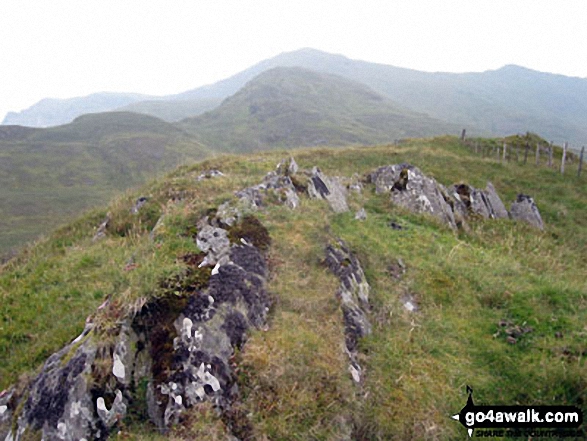
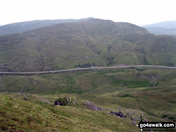
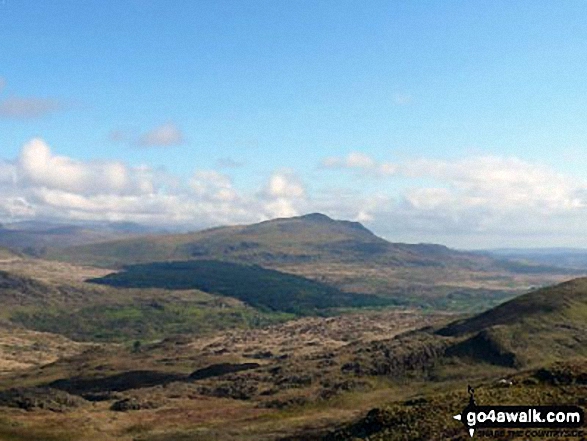
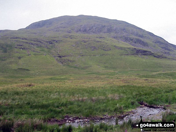
Moel Dyrnogydd
524m (1720ft)
The Molewyns Area, Snowdonia, Conwy, Wales
Not familiar with this top?
   |
|---|
Vital Statistics:
| Length: | 6.5mls (10.5km) |
|---|---|
| Ascent: | 2,422ft (738m) |
| Time: | 5 hrs |
| Grade: |  (Moderate) (Moderate) |
Route Summary:
Crimea Pass (Bwlch y Gorddinan) - Iwerddon (Allt-fawr) - Allt-fawr (Moelwyns) - Llyn Conglog - Moel Druman - Llyn Coch - Llyn Terfyn - Ysgafell Wen - Ysgafell Wen (North Top) - Llynnau'r Cwn - Ysgafell Wen (Far North Top) - Afon Lledr - Moel Fleiddiau - Moel Lledr - Moel Dyrnogydd - Crimea Pass (Bwlch y Gorddinan)
See Moel Dyrnogydd and the surrounding tops on our free-to-access 'Google Style' Peak Bagging Maps:
The Moelwyns area of Snowdonia National Park
Less data - quicker to download
The Whole of Snowdonia National Park
More data - might take a little longer to download
See Moel Dyrnogydd and the surrounding tops on our downloadable Peak Bagging Map in PDF format:

NB: Whether you print off a copy or download it to your phone, this PDF Peak Baggers' Map might prove incredibly useful when your are up there on the tops and you cannot get a phone signal.
You can find Moel Dyrnogydd & all the walks that climb it on these unique free-to-access Interactive Walk Planning Maps:
1:25,000 scale OS Explorer Map (orange/yellow covers):
1:50,000 scale OS Landranger Map (pink/magenta covers):
 Fellow go4awalkers who have already walked, climbed, summited & bagged Moel Dyrnogydd
Mark Davidson walked up it on July 13th, 2011 [from/via/route] Walk cw115 Allt-fawr, Moel Druman & Ysgafell Wen from Crimea Pass (Bwlch y Gorddinan) [with] Alone [weather] Rather cloudy - Quite a lot of walking across rough grass on this one
Paul Booth has walked, climbed & bagged Moel Dyrnogydd.
To add (or remove) your name and experiences on this page - Log On and edit your Personal Mountain Bagging Record
More Photographs & Pictures of views from, on or of Moel Dyrnogydd
Send us your photographs and pictures on, of, or from Moel Dyrnogydd
If you would like to add your walk photographs and pictures to this page, please send them as email attachments (configured for any computer) along with your name to:
and we shall do our best to publish them.
(Guide Resolution = 300dpi. At least = 660pixels (wide) x 440 pixels (high).)

You can also submit photos via our Facebook Page.
NB. Please indicate where each photo was taken and whether you wish us to credit your photos with a Username or your First Name/Last Name.
Not familiar with this top?