The Far Eastern Marches area of The Lake District National Park - a fully detailed list of all the Mountains, Peaks, Tops and Hills
The Far Eastern Marches area of The Lake District National Park, Cumbria is the area enclosed by:
- An imaginary line from Ambleside through Troutbeck, Kentmere and Sadgill to the Eastern tip of Haweswater Reservoir and then Pooley Bridge to the West
- The A592 to Penrith to the North
- The M6 South & then the A684 to Kendal to the East
- The A591 from Kendal to Ambleside to the South
If you include the Marilyns, the Bridgets (Hills) and all the Mountains, Tops, Peaks and Hills with a Trig Point on them there are 13 tops to climb, bag & conquer and the highest point is White Howe (Bannisdale) at 530m (1,739ft).
To see these Mountains, Peaks, Tops and Hills displayed in different ways - see the options in the left-hand column and towards the bottom of this page.
![]() Your Personal Bagging Record for The Far Eastern Marches area of The Lake District
Your Personal Bagging Record for The Far Eastern Marches area of The Lake District
LOG ON and RELOAD this page to show which Mountains, Peaks, Tops and Hills you have already climbed, bagged & conquered [. . . more details]
See this list in: Alphabetical Order‡
| Height Order
To reverse the order select the link again.
Mountain, Peak, Top or Hill:
Bagged

![]()
1. Ashstead Fell
469m (1,539ft)
Ashstead Fell is on interactive maps:
A downloadable go4awalk.com PDF Peak Bagging Map featuring Ashstead Fell will be available soon. |

![]()
2. Brunt Knott (Potter Fell)
427m (1,401ft)
Brunt Knott (Potter Fell) is on interactive maps:
A downloadable go4awalk.com PDF Peak Bagging Map featuring Brunt Knott (Potter Fell) will be available soon. |
![]()
3. Castle Fell
478m (1,568ft)
Castle Fell is on interactive maps:
A downloadable go4awalk.com PDF Peak Bagging Map featuring Castle Fell will be available soon. |

![]()
4. Grayrigg Forest
494m (1,621ft)
Grayrigg Forest is on interactive maps:
A downloadable go4awalk.com PDF Peak Bagging Map featuring Grayrigg Forest will be available soon. |
![]()
5. Heughscar Hill
375m (1,231ft)
Heughscar Hill is on interactive maps:
A downloadable go4awalk.com PDF Peak Bagging Map featuring Heughscar Hill will be available soon. |
![]()
6. Jeffrey's Mount
378m (1,240ft)
Jeffrey's Mount is on interactive maps:
A downloadable go4awalk.com PDF Peak Bagging Map featuring Jeffrey's Mount will be available soon. |

![]()
7. Lambrigg Fell
339m (1,112ft)
Lambrigg Fell is on interactive maps:
A downloadable go4awalk.com PDF Peak Bagging Map featuring Lambrigg Fell will be available soon. |
![]()
8. Mabbin Crag
482m (1,581ft)
Mabbin Crag is on interactive maps:
A downloadable go4awalk.com PDF Peak Bagging Map featuring Mabbin Crag will be available soon. |
![]()
9. Seat Robert
515m (1,690ft)
Seat Robert is on interactive maps:
A downloadable go4awalk.com PDF Peak Bagging Map featuring Seat Robert will be available soon. |
![]()
10. Whinash
471m (1,545ft)
Whinash is on interactive maps:
|
![]()
11. Whinfell Beacon
472m (1,549ft)
Whinfell Beacon is on interactive maps:
A downloadable go4awalk.com PDF Peak Bagging Map featuring Whinfell Beacon will be available soon. |
![]()
12. White Howe (Bannisdale)
530m (1,739ft)
White Howe (Bannisdale) is on interactive maps:
A downloadable go4awalk.com PDF Peak Bagging Map featuring White Howe (Bannisdale) will be available soon. |
![]()
13. Winterscleugh
464m (1,522ft)
Winterscleugh is on interactive maps:
A downloadable go4awalk.com PDF Peak Bagging Map featuring Winterscleugh will be available soon. |
View these 13 Mountains, Peaks, Tops and Hills:
- On an Interactive Google Map (loads faster)
- On an Interactive Google Map with a list of tops below it.
(makes it easier to locate a particular top) - On a Detailed List in:
Alphabetical Order | Height Order - On one page with 'yet-to-be-bagged' listed 1st & then 'already-bagged' tops listed 2nd in:
Alphabetical Order | Height Order - On one page with 'already-bagged' tops listed 1st & then 'yet-to-be-bagged' tops listed 2nd in:
Alphabetical Order | Height Order
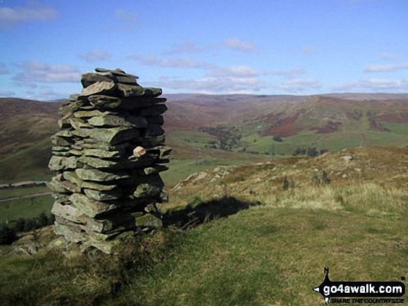
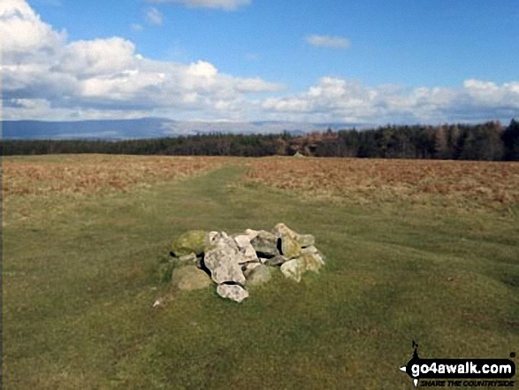
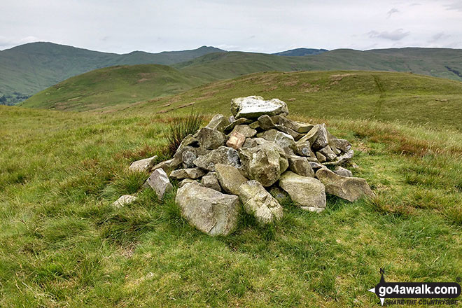
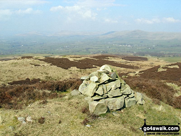
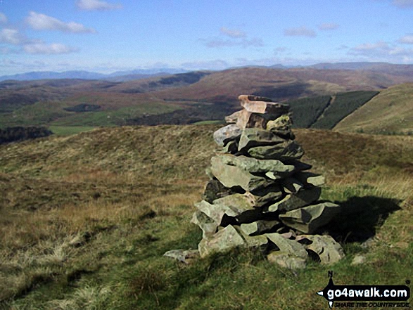
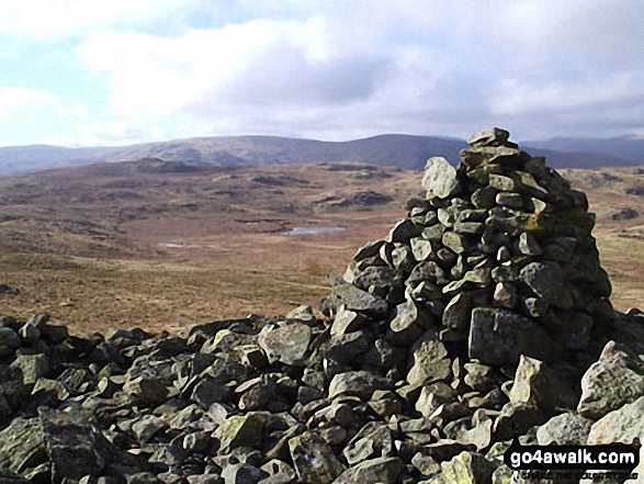
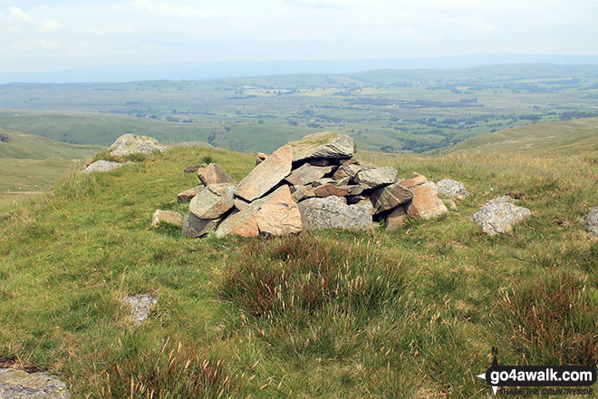
 The summit of Great Yarlside in The Far Eastern Marches area of The Lake District
Photo: Paul Gibson
Is there a Mountain, Peak, Top or Hill missing from the above google map or list?
Let us know an we will add it to our database.
To contribute to go4awalk.com or to contact us about anything at all - see Talk To Us.
For help see Help.
go4awalk.com and go4awalk.co.uk are registered trademarks of TMDH Limited.
Copyright © 2000-2025 TMDH Limited. All rights reserved.
Copyright Terms & Conditions Privacy Statement
A - Z Walks Home Log On/Accounts Photo Gallery Walk Ideas and Collections Fell Facts Hill Skills Walking Questions and Answers Your Stories News Competitions Product Reviews/Gear Tests Walking Gear Guides Peaks and Mountains Peak Bagging Find New Walking Friends Camping GPS Waypoints for Walking Contents Walk Search Talk To Us go4awalk.com Help Free Example Walks Newsletter


