The North West region of England - a fully detailed list of all the Mountains, Peaks, Tops and Hills (Page 3 of 16)
The North West region of England comprises the traditional counties of Cheshire, Cumbria, Greater Manchester, Lancashire and Mersyside and includes The Lake District National Park, The Forest of Bowland, parts of The Yorkshire Dales National Park and parts of the Peak District National Park.
If you include all the Mountains (Hewitts), the Deweys, the Nuttalls, the Marilyns, the Bridgets (Hills) and all the Mountains, Tops, Peaks and Hills with a Trig Point on them there are 464 tops to climb, bag & conquer and the highest point is Scafell Pike at 978m (3,210ft).
To see these Mountains, Peaks, Tops and Hills displayed in different ways - see the options in the left-hand column and towards the bottom of this page.
![]() Your Personal Bagging Record for North West of
Your Personal Bagging Record for North West of
LOG ON and RELOAD this page to show which Mountains, Peaks, Tops and Hills you have already climbed, bagged & conquered [. . . more details]
See this list in: Alphabetical Order
| Height Order‡
To reverse the order select the link again.
Mountain, Peak, Top or Hill:
Bagged

![]()
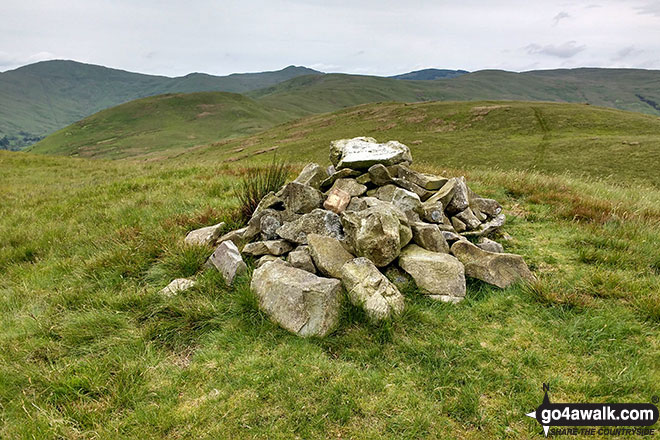
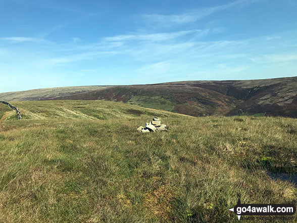
61. Jeffrey's Mount
378m (1,240ft)
Jeffrey's Mount is on interactive maps:
A downloadable go4awalk.com PDF Peak Bagging Map featuring Jeffrey's Mount will be available soon. |
![]()
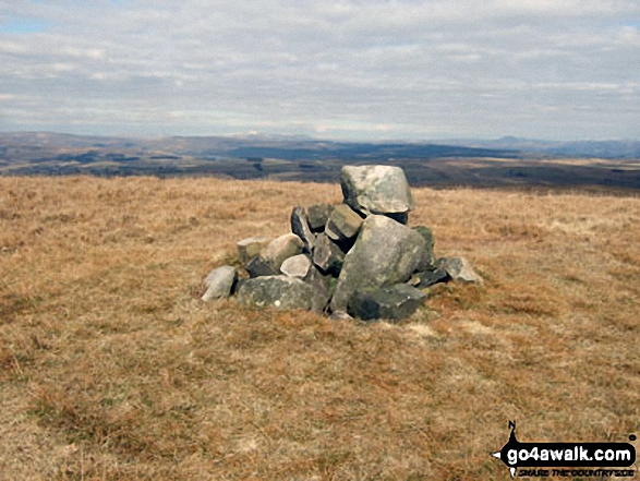
62. Tegg's Nose
380m (1,247ft)
Tegg's Nose is on interactive maps:
Tegg's Nose is on downloadable PDF you can Print or Save to your Phone: |
![]()
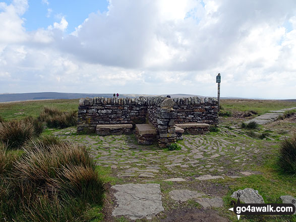
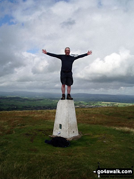
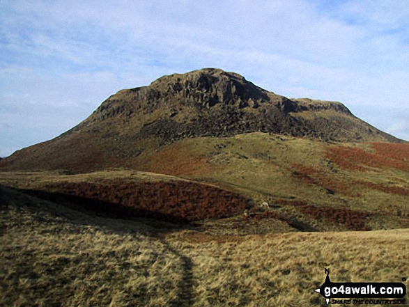
63. Great Hill
381m (1,250ft)
Great Hill is on interactive maps:
Great Hill is on downloadable PDF you can Print or Save to your Phone: |

![]()
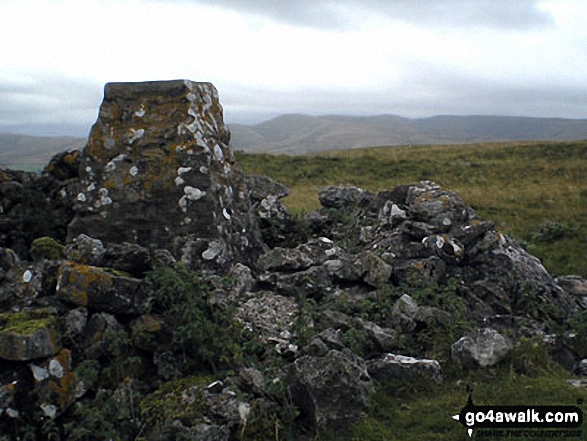
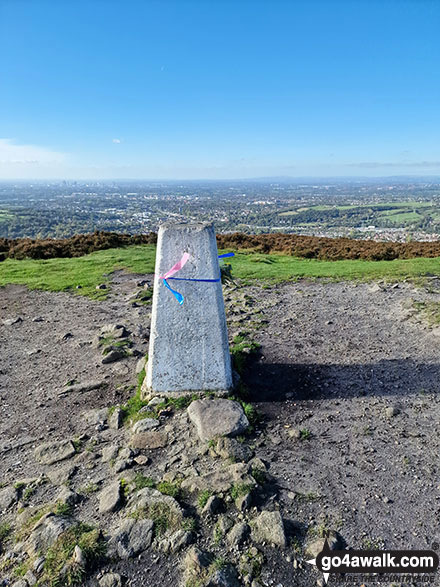
64. Talkin Fell (Kelky Fell)
381m (1,250ft)
Send it in and we'll publish it here.
Talkin Fell (Kelky Fell) is on interactive maps:
Talkin Fell (Kelky Fell) is on downloadable PDF you can Print or Save to your Phone: |
![]()
65. Nettle Hill
382m (1,253ft)
Nettle Hill is on interactive maps:
Nettle Hill is on downloadable PDF you can Print or Save to your Phone: |
![]()
66. Hog Lowe Pike
383m (1,257ft)
Hog Lowe Pike is on interactive maps:
|
![]()
67. Wincle Minn
384m (1,260ft)
Wincle Minn is on interactive maps:
Wincle Minn is on downloadable PDF you can Print or Save to your Phone: |
![]()
68. Round How (Matterdale)
387m (1,270ft)
Send it in and we'll publish it here.
Round How (Matterdale) is on interactive maps:
Round How (Matterdale) is on downloadable PDF you can Print or Save to your Phone: *Version including the walk routes marked on it that you need to follow to Walk all 214 Wainwrights in just 59 walks. |

![]()
69. Hallin Fell
388m (1,273ft)
Hallin Fell is on interactive maps:
Hallin Fell is on downloadable PDF you can Print or Save to your Phone: *Version including the walk routes marked on it that you need to follow to Walk all 214 Wainwrights in just 59 walks. |
![]()
70. King's How
392m (1,286ft)
King's How is on interactive maps:
King's How is on downloadable PDF you can Print or Save to your Phone: *Version including the walk routes marked on it that you need to follow to Walk all 214 Wainwrights in just 59 walks. |
![]()
71. Spitlers Edge
392m (1,286ft)
Spitlers Edge is on interactive maps:
Spitlers Edge is on downloadable PDF you can Print or Save to your Phone: |
![]()
72. Harridge Pike
395m (1,296ft)
Harridge Pike is on interactive maps:
Harridge Pike is on downloadable PDF you can Print or Save to your Phone: |
![]()
73. Middle Knoll
395m (1,296ft)
Middle Knoll is on interactive maps:
Middle Knoll is on downloadable PDF you can Print or Save to your Phone: |
![]()
74. Easington Fell
396m (1,300ft)
Easington Fell is on interactive maps:
Easington Fell is on downloadable PDF you can Print or Save to your Phone: |
![]()
75. Weets Hill
397m (1,303ft)
Weets Hill is on interactive maps:
Weets Hill is on downloadable PDF you can Print or Save to your Phone: |
![]()
76. Knock Pike (Dufton)
398m (1,306ft)
Send it in and we'll publish it here.
Knock Pike (Dufton) is on interactive maps:
Knock Pike (Dufton) is on downloadable PDF you can Print or Save to your Phone: |
![]()
77. Wild Bank Hill (Hollingworthhall Moor)
399m (1,309ft)
Wild Bank Hill (Hollingworthhall Moor) is on interactive maps:
Wild Bank Hill (Hollingworthhall Moor) is on downloadable PDF you can Print or Save to your Phone: |
![]()
78. Cribden Hill
401m (1,316ft)
Cribden Hill is on interactive maps:
Cribden Hill is on downloadable PDF you can Print or Save to your Phone: |
![]()
79. Ravensworth Fell
401m (1,316ft)
Ravensworth Fell is on interactive maps:
Ravensworth Fell is on downloadable PDF you can Print or Save to your Phone: |
![]()
80. Brown Wardle Hill
402m (1,319ft)
Brown Wardle Hill is on interactive maps:
Brown Wardle Hill is on downloadable PDF you can Print or Save to your Phone: |
![]()
81. Burn Moor Fell (Forest of Bowland)
402m (1,319ft)
Send it in and we'll publish it here.
Burn Moor Fell (Forest of Bowland) is on interactive maps:
Burn Moor Fell (Forest of Bowland) is on downloadable PDF you can Print or Save to your Phone: |
![]()
82. Cartridge Hill
402m (1,319ft)
Cartridge Hill is on interactive maps:
|
![]()
83. Croker Hill
402m (1,319ft)
Croker Hill is on interactive maps:
Croker Hill is on downloadable PDF you can Print or Save to your Phone: |
![]()
84. Thwaite Scars
408m (1,339ft)
Thwaite Scars is on interactive maps:
Thwaite Scars is on downloadable PDF you can Print or Save to your Phone: |
![]()
85. Great Hameldon
409m (1,342ft)
Great Hameldon is on interactive maps:
Great Hameldon is on downloadable PDF you can Print or Save to your Phone: |
![]()
86. Sponds Hill
410m (1,346ft)
Sponds Hill is on interactive maps:
Sponds Hill is on downloadable PDF you can Print or Save to your Phone: |
![]()
87. Black Hill (Whaley Moor)
411m (1,348ft)
Send it in and we'll publish it here.
Black Hill (Whaley Moor) is on interactive maps:
Black Hill (Whaley Moor) is on downloadable PDF you can Print or Save to your Phone: |
![]()
88. Powson Knott (Great Asby Scar)
412m (1,352ft)
Send it in and we'll publish it here.
Powson Knott (Great Asby Scar) is on interactive maps:
Powson Knott (Great Asby Scar) is on downloadable PDF you can Print or Save to your Phone: |
![]()
89. Clougha Pike
413m (1,355ft)
Clougha Pike is on interactive maps:
|
![]()
90. Lang How
414m (1,359ft)
Lang How is on interactive maps:
Lang How is on downloadable PDF you can Print or Save to your Phone: *Version including the walk routes marked on it that you need to follow to Walk all 214 Wainwrights in just 59 walks. |
View these 464 Mountains, Peaks, Tops and Hills:
- On an Interactive Google Map with a list of tops below it.
(makes it easier to locate a particular top) - On a Detailed List in:
Alphabetical Order | Height Order - On one page with 'yet-to-be-bagged' listed 1st
& then 'already-bagged' tops listed 2nd in:
Alphabetical Order | Height Order - On one page with 'already-bagged' tops listed 1st
& then 'yet-to-be-bagged' tops listed 2nd in:
Alphabetical Order | Height Order
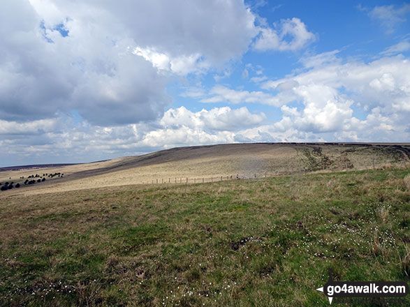
 The view from Scafell Pike in The Central Fells area of The Lake District
Photo: David Cochrane
Is there a Mountain, Peak, Top or Hill missing from the above google map or list?
Let us know an we will add it to our database.
To contribute to go4awalk.com or to contact us about anything at all - see Talk To Us.
For help see Help.
go4awalk.com and go4awalk.co.uk are registered trademarks of TMDH Limited.
Copyright © 2000-2026 TMDH Limited. All rights reserved.
Copyright Terms & Conditions Privacy Statement
A - Z Walks Home Log On/Accounts Photo Gallery Walk Ideas and Collections Fell Facts Hill Skills Walking Questions and Answers Your Stories News Competitions Product Reviews/Gear Tests Walking Gear Guides Peaks and Mountains Peak Bagging Find New Walking Friends Camping GPS Waypoints for Walking Contents Walk Search Talk To Us go4awalk.com Help Free Example Walks Newsletter


