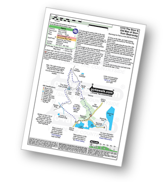
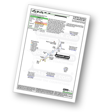
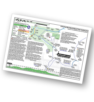
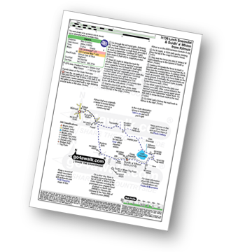
UK Postcode IV22 - The 30 nearest easy-to-follow, circular walk route maps to you
The thirty nearest easy-to-follow, circular walk route maps to you in UK Postcode IV22 in Walk Grade Order
The UK cities, towns and villages in Highland, Scotland that have IV22 in their UK Postcode include:
• Achgarve • Achnasheen • Alligin Shuas • Annat • Aultbea • Badavanich • Boor • Bualnaluib • Coast • Cove • Diabaig • Drumchork • Fasag • Inveralligan • Inverasdale • Kinlochewe • Laide • Little Gruinard • Londubh • Lubmore • Mellon Charles • Mellon Udrigle • Midtown • Mungasdale • Naast • Opinan • Ormiscaig • Poolewe • Second Coast • Slattadale • Taagan • Talladale • Torridon • Tuirnaig • Upper Diabaig •
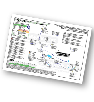
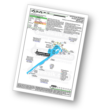
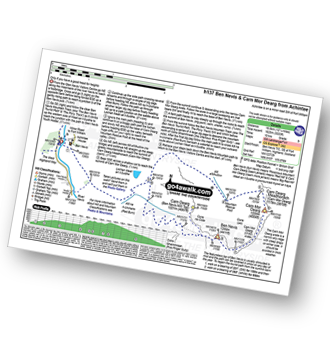
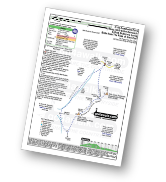
Vital Statistics:
| Length: | 5 miles (8 km) |
| Ascent: | 2,310ft (704m) |
| Time: | 4.25hrs |
| Grade: |  |
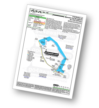
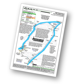
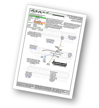
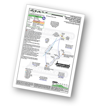
Vital Statistics:
| Length: | 2.75 miles (4.5 km) |
| Ascent: | 745ft (227m) |
| Time: | 1.75hrs |
| Grade: |  |
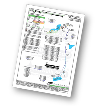
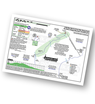
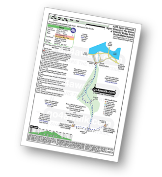
Vital Statistics:
| Length: | 16.5 miles (26.5 km) |
| Ascent: | 5,415ft (1,045m) |
| Time: | 11½ hrs |
| Grade: |  |
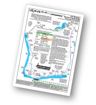
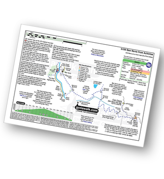
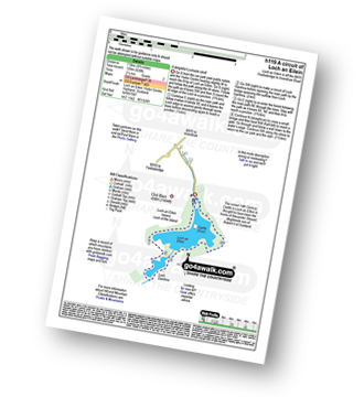
Vital Statistics:
| Length: | 5 miles (8 km) |
| Ascent: | 1,299ft (396m) |
| Time: | 3.25hrs |
| Grade: |  |
Vital Statistics:
| Length: | 8.75 miles (14 km) |
| Ascent: | 4,050ft (1,234m) |
| Time: | 7½ hrs |
| Grade: |  |
Vital Statistics:
| Length: | 5 miles (8 km) |
| Ascent: | 414ft (126m) |
| Time: | 2½ hrs |
| Grade: |  |
Vital Statistics:
| Length: | 6.25 miles (10 km) |
| Ascent: | 1,158ft (353m) |
| Time: | 3½ hrs |
| Grade: |  |
Vital Statistics:
| Length: | 10.75 miles (17 km) |
| Ascent: | 4,398ft (426m) |
| Time: | 5.25hrs |
| Grade: |  |
Vital Statistics:
| Length: | 5 miles (8 km) |
| Ascent: | 1,089ft (332m) |
| Time: | 3 hrs |
| Grade: |  |
Vital Statistics:
| Length: | 1.75 miles (3 km) |
| Ascent: | 436ft (133m) |
| Time: | 1½ hrs |
| Grade: |  |
Vital Statistics:
| Length: | 2.5 miles (4 km) |
| Ascent: | 407ft (124m) |
| Time: | 1½ hrs |
| Grade: |  |
Vital Statistics:
| Length: | 7.25 miles (11.5 km) |
| Ascent: | 3,086ft (941m) |
| Time: | 5½ hrs |
| Grade: |  |
Vital Statistics:
| Length: | 6 miles (9.5 km) |
| Ascent: | 712ft (217m) |
| Time: | 3 hrs |
| Grade: |  |
Vital Statistics:
| Length: | 8.5 miles (13.5 km) |
| Ascent: | 571ft (174m) |
| Time: | 3.75hrs |
| Grade: |  |
Vital Statistics:
| Length: | 11.5 miles (18.5 km) |
| Ascent: | 3,919ft (1,194m) |
| Time: | 8½ hrs |
| Grade: |  |
Vital Statistics:
| Length: | 10.25 miles (16.5 km) |
| Ascent: | 4,424ft (1,348m) |
| Time: | 8½ hrs |
| Grade: |  |
Vital Statistics:
| Length: | 12.25 miles (19.5 km) |
| Ascent: | 5,333ft (1,625m) |
| Time: | 10 hrs |
| Grade: |  |
Vital Statistics:
| Length: | 1 miles (1.5 km) |
| Ascent: | 33ft (10m) |
| Time: | 0½ hrs |
| Grade: |  |
Vital Statistics:
| Length: | 7.75 miles (12.5 km) |
| Ascent: | 4,175ft (1,272m) |
| Time: | 7.25hrs |
| Grade: |  |
Vital Statistics:
| Length: | 4.75 miles (7.5 km) |
| Ascent: | 197ft (60m) |
| Time: | 2 hrs |
| Grade: |  |
Vital Statistics:
| Length: | 5.5 miles (9 km) |
| Ascent: | 2,501ft (762m) |
| Time: | 5.75hrs |
| Grade: |  |
Vital Statistics:
| Length: | 8.75 miles (14 km) |
| Ascent: | 4,040ft (1,231m) |
| Time: | 7.25hrs |
| Grade: |  |
Vital Statistics:
| Length: | 7.75 miles (12.5 km) |
| Ascent: | 4,391ft (1,338m) |
| Time: | 7.25hrs |
| Grade: |  |
Vital Statistics:
| Length: | 9.75 miles (16.5 km) |
| Ascent: | 5,405ft (1,647m) |
| Time: | 9 hrs |
| Grade: |  |
Vital Statistics:
| Length: | 7.75 miles (12.5 km) |
| Ascent: | 4,270ft (1,301m) |
| Time: | 7.25hrs |
| Grade: |  |
Vital Statistics:
| Length: | 9.5 miles (15 km) |
| Ascent: | 6,173ft (1,881m) |
| Time: | 10 hrs |
| Grade: |  |
Vital Statistics:
| Length: | 5 miles (8 km) |
| Ascent: | 1,004ft (306m) |
| Time: | 3 hrs |
| Grade: |  |
Vital Statistics:
| Length: | 9.25 miles (14.5 km) |
| Ascent: | 2,194ft (669m) |
| Time: | 5½ hrs |
| Grade: |  |
Vital Statistics:
| Length: | 6.5 miles (10.5 km) |
| Ascent: | 3,318ft (1,011m) |
| Time: | 6 hrs |
| Grade: |  |
Vital Statistics:
| Length: | 5 miles (8 km) |
| Ascent: | 2,983ft (909m) |
| Time: | 5 hrs |
| Grade: |  |


