Peak Bagging The Moel Hebog area area of Snowdonia National Park in Wales - all the Mountains, Tops, Peaks and Hills
The Moel Hebog area area of Snowdonia National Park is enclosed by:
- Llanberis the A4085 via Nant y Betws, Llyn Cwellyn & Nant Conwyn to the North East
- Beddgelert, the A498 and Prenteg to the East
- Trenlog to the South
- The edge of the Snowdonia National Park to the West
There are 16 'tops' to walk up, bag and conquer, the highest point is Moel Hebog and the area includes:
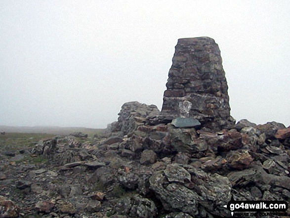 The summit of Moel Hebog, the highest point in The Moel Hebog area of Snowdonia
Photo: Paul Latham
| 0 | Wainwrights | |
| 9 | Mountains (aka Hewitts) | |
| 2 | Deweys | |
| 11 | Nuttalls | |
| 0 | Wainwright Outlying Fells | |
| 5 | Marilyns | |
| 3 | Hills (aka Bridgets) and | |
| 3 | Mountains, Tops, Peaks or Hills with a Trig Point on or near the top |
You can see all of these 16 Mountains, Peaks, Tops and Hills in The Moel Hebog area area of Snowdonia:-
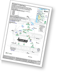 Downloadable Peak Baggers Map you can Print or Save to your Phone detailing the The Moel Hebog area area of Snowdonia
# Whether you print a copy or download it to your phone, this Peak Baggers' Map will prove incredibly useful if you want to know what's what when you are up in the mountains and cannot get a phone signal.
- On an Interactive Google Map (loads faster)
- On an Interactive Google Map with a list of tops below it.
(makes it easier to locate a particular top) - On a Detailed List in:
Alphabetical Order | Height Order - On one page with 'yet-to-be-bagged' listed 1st & then 'already-bagged' tops listed 2nd in:
Alphabetical Order | Height Order - On one page with 'already-bagged' tops listed 1st & then 'yet-to-be-bagged' tops listed 2nd in:
Alphabetical Order | Height Order


