All the Mountains, Peaks, Tops and Hills in The South Western Marches area of The Lake District, Cumbria, England on a Google Map
The South Western Marches area of The Lake District National Park, Cumbria is the area enclosed by:
- The Irish Sea to the South and West
- An imaginary line from Whitehaven to the Southern Tip of Wast Water and then Seathwaite (Duddon Valley) to the North East
- The River Duddon to the East
If you include the Marilyns, the Bridgets (Hills) and all the Mountains, Tops, Peaks and Hills with a Trig Point on them there are 4 tops to climb, bag & conquer and the highest point is Black Combe at 600m (1,969ft).
To see these Mountains, Peaks, Tops and Hills displayed in different ways - see the options in the left-hand column and towards the bottom of this page.
![]() Your Personal Bagging Record for The South Western Marches area of The Lake District
Your Personal Bagging Record for The South Western Marches area of The Lake District
LOG ON and RELOAD this page to show which Mountains, Peaks, Tops and Hills you have already climbed, bagged & conquered [. . . more details]
NB. If a Google Map does not appear below, or the icons do not respond, click here to refresh the page. If that doesn't work, try deleting your browser's cache.
View these 4 Mountains, Peaks, Tops and Hills:
- On an Interactive Google Map (loads faster)
- On an Interactive Google Map with a list of tops below it.
(makes it easier to locate a particular top) - On a Detailed List in:
Alphabetical Order | Height Order - On one page with 'yet-to-be-bagged' listed 1st & then 'already-bagged' tops listed 2nd in:
Alphabetical Order | Height Order - On one page with 'already-bagged' tops listed 1st & then 'yet-to-be-bagged' tops listed 2nd in:
Alphabetical Order | Height Order
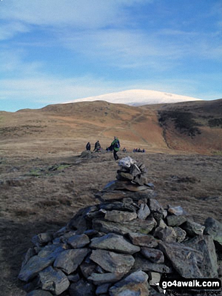 Black Combe in The South Western Marches area of The Lake District
Photo: Nick Ford
Is there a Mountain, Peak, Top or Hill missing from the above google map or list?


