Peak Bagging the Mountains, Tops, Peaks and Hills in The Far Eastern Marches area of The Lake District National Park, England
The Far Eastern Marches area of The Lake District National Park is the area enclosed by:
- An imaginary line from Ambleside through Troutbeck, Kentmere and Sadgill to the Eastern tip of Haweswater Reservoir and then Pooley Bridge to the West
- The A592 to Penrith to the North
- The M6 South & then the A684 to Kendal to the East
- The A591 from Kendal to Ambleside to the South
There are 42 'tops' to walk up, bag and conquer, the highest point is Great Yarlside and the area includes:
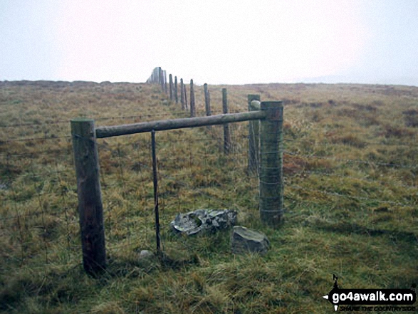 The summit of Great Yarlside, the highest point in The Far Eastern Marches area of The Lake District
Photo: Paul Gibson
| 0 | Wainwrights | |
| 0 | Mountains (aka Hewitts) | |
| 6 | Deweys | |
| 0 | Nuttalls | |
| 33 | Wainwright Outlying Fells | |
| 2 | Marilyns | |
| 7 | Hills (aka Bridgets) and | |
| 5 | Mountains, Tops, Peaks or Hills with a Trig Point on or near the top |
See these 42 Mountains, Peaks, Tops and Hills in The Far Eastern Marches area of The Lake District:
- On an Interactive Google Map (loads faster)
- On an Interactive Google Map with a list of tops below it.
(makes it easier to locate a particular top) - On a Detailed List in:
Alphabetical Order | Height Order - On one page with 'yet-to-be-bagged' listed 1st & then 'already-bagged' tops listed 2nd in:
Alphabetical Order | Height Order - On one page with 'already-bagged' tops listed 1st & then 'yet-to-be-bagged' tops listed 2nd in:
Alphabetical Order | Height Order


