All the Mountains, Peaks, Tops and Hills in The Black Mountains Area of Bannau Brycheiniog (The Brecon Beacons), Wales on a Google Map
The Black Mountains Area of Bannau Brycheiniog (The Brecon Beacons National Park) is the Eastern half of the National Park. It is enclosed by:
- The Park Boundary to the North, East & South
- The B4558 from Brecon to Talybont-on-Usk and then a minor road south past Talybont Reservoir, Pentwyn Reservoir and Pontsticill Reservoir to Pontsticill to the West
If you count only the Mountains (Hewitts) there are 9 tops to climb, bag & conquer and the highest point is Waun Fach at 811m (2,662ft).
To see these Mountains, Peaks, Tops and Hills displayed in different ways - see the options in the left-hand column and towards the bottom of this page.
![]() Your Personal Bagging Record for The Black Mountains Area of Bannau Brycheiniog (The Brecon Beacons)
Your Personal Bagging Record for The Black Mountains Area of Bannau Brycheiniog (The Brecon Beacons)
LOG ON and RELOAD this page to show which Mountains, Peaks, Tops and Hills you have already climbed, bagged & conquered [. . . more details]
NB. If a Google Map does not appear below, or the icons do not respond, click here to refresh the page. If that doesn't work, try deleting your browser's cache.
View these 9 Mountains, Peaks, Tops and Hills:
- On a Downloadable PDF you can Print or Save to your Phone#
- On an Interactive Google Map (loads faster)
- On an Interactive Google Map with a list of tops below it.
(makes it easier to locate a particular top) - On a Detailed List in:
Alphabetical Order | Height Order - On one page with 'yet-to-be-bagged' listed 1st & then 'already-bagged' tops listed 2nd in:
Alphabetical Order | Height Order - On one page with 'already-bagged' tops listed 1st & then 'yet-to-be-bagged' tops listed 2nd in:
Alphabetical Order | Height Order
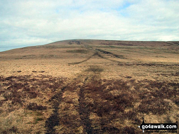 Waun Fach in The Black Mountains Area of Bannau Brycheiniog (The Brecon Beacons)
Photo: Jon Rimmer
Is there a Mountain, Peak, Top or Hill missing from the above google map or list?


