All the Mountains, Peaks, Tops and Hills in Yorkshire Area, England as a detailed list

Yorkshire Area area of England comprises the traditional counties of East Riding of Yorkshire, North Yorkshire, South Yorkshire and West Yorkshire.


If you count only the Marilyns there are 20 tops to climb, bag & conquer and the highest point is Whernside at 736m (2,416ft).

Wainwright
0/0
Wainwrights

Hewitt
17/0
English
Mountains

Dewey
29/0
English
Deweys

nuttall
19/0
English
Nuttalls

Wainwright Outlying Fell
0/0
Wainwright
Outlying Fells

marilyn
20/0
English
Marilyns

Bridget
61/0
English
Bridgets

Trig Point
62/0
Trig
Points


To see all Mountains, Peaks, Tops and Hills displayed in different ways - see the options in the left-hand column and towards the bottom of this page.


LOG ON and RELOAD this page to show which Mountains, Peaks, Tops and Hills you have already climbed, bagged & conquered [. . . more]


See this list in: Alphabetical Order | Height Order
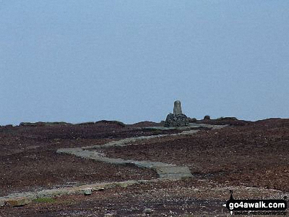
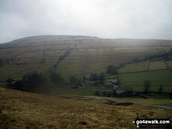
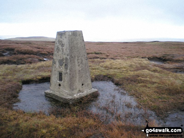
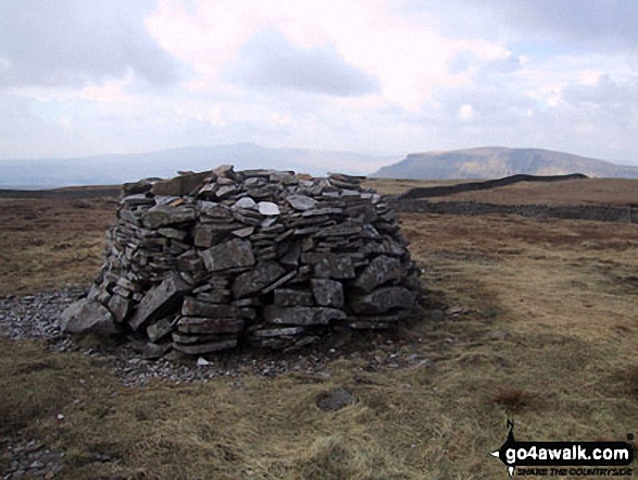
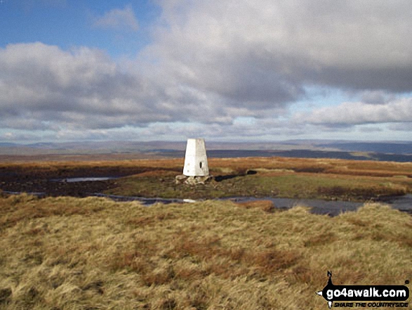
To reverse the order select the link again.


Mountain, Peak, Top or Hill:

Bagged


1. Bishop Wilton Wold (South Wold)

246m (807ft)

  • Marilyn (157th in England, 1475th in GB)
  • OS Trig Point
  • Bishop Wilton Wold (South Wold) is the highest point in The East Riding of Yorkshire.


    We hope to have walks that climb & bag Bishop Wilton Wold (South Wold) very soon

    Google Maps Icon
    See the location of Bishop Wilton Wold (South Wold) and walks up it on a google Map

    Bishop Wilton Wold (South Wold) is on interactive maps:

  • OS Explorer (Orange Covers): 294
  • OS Landranger (Pink Covers): 106

  • 2. Gisborough Moor

    328m (1,076ft)

  • Marilyn (119th in England, 1334th in GB)
  • Gisborough Moor is the highest point in the county of Redcar and Cleveland.


    We hope to have walks that climb & bag Gisborough Moor very soon

    Google Maps Icon
    See the location of Gisborough Moor and walks up it on a google Map

    Gisborough Moor is on interactive maps:

  • OS Explorer (Orange Covers): OL26
  • OS Landranger (Pink Covers): 94

  • A go4awalk.com Peak Bagging Map and Hill Tick List featuring Gisborough Moor will be available soon.


    3. Sharp Haw

    357m (1,171ft)

  • Marilyn (107th in England, 1291st in GB)
  • OS Trig Point

  • To walk, climb & bag Sharp Haw use this easy to follow walk:

    Google Maps Icon
    See the location of Sharp Haw and walks up it on a google Map

    Sharp Haw is on interactive maps:

  • OS Explorer (Orange Covers): OL2
  • OS Landranger (Pink Covers): 103

  • Sharp Haw is on Peak Bagging Map and Hill Tick List:


    4. Rombalds Moor (Ilkley Moor)

    402m (1,319ft)

  • Marilyn (97th in England, 1203rd in GB)
  • OS Trig Point

  • To walk, climb & bag Rombalds Moor (Ilkley Moor) use either of these easy to follow walks:

    Google Maps Icon
    See the location of Rombalds Moor (Ilkley Moor) and walks up it on a google Map

    Rombalds Moor (Ilkley Moor) is on interactive maps:

  • OS Explorer (Orange Covers): 297
  • OS Landranger (Pink Covers): 104

  • Rombalds Moor (Ilkley Moor) is on Peak Bagging Map and Hill Tick List:


    5. Cringle Moor (Drake Howe)

    434m (1,424ft)

  • Marilyn (91st in England, 1138th in GB)

  • We hope to have walks that climb & bag Cringle Moor (Drake Howe) very soon

    Google Maps Icon
    See the location of Cringle Moor (Drake Howe) and walks up it on a google Map

    Cringle Moor (Drake Howe) is on interactive maps:

  • OS Explorer (Orange Covers): OL26
  • OS Landranger (Pink Covers): 93

  • A go4awalk.com Peak Bagging Map and Hill Tick List featuring Cringle Moor (Drake Howe) will be available soon.


    6. Urra Moor (Round Hill)

    454m (1,490ft)

  • Marilyn (87th in England, 1097th in GB)
  • OS Trig Point

  • We hope to have walks that climb & bag Urra Moor (Round Hill) very soon

    Google Maps Icon
    See the location of Urra Moor (Round Hill) and walks up it on a google Map

    Urra Moor (Round Hill) is on interactive maps:

  • OS Explorer (Orange Covers): OL26
  • OS Landranger (Pink Covers): 93

  • A go4awalk.com Peak Bagging Map and Hill Tick List featuring Urra Moor (Round Hill) will be available soon.


    7. Kisdon

    499m (1,638ft)

  • Marilyn (79th in England, 986th in GB)

  • To walk, climb & bag Kisdon use this easy to follow walk:

    Google Maps Icon
    See the location of Kisdon and walks up it on a google Map

    Kisdon is on interactive maps:

  • OS Explorer (Orange Covers): OL30
  • OS Landranger (Pink Covers): 98

  • Kisdon is on Peak Bagging Map and Hill Tick List:


    8. Cracoe Fell

    507m (1,663ft)

  • Dewey (168th in England, 390th in England & Wales)
  • Marilyn (76th in England, 977th in GB)
  • OS Trig Point

  • To walk, climb & bag Cracoe Fell use this easy to follow walk:

    Google Maps Icon
    See the location of Cracoe Fell and walks up it on a google Map

    Cracoe Fell is on interactive maps:

  • OS Explorer (Orange Covers): OL2
  • OS Landranger (Pink Covers): 103

  • Cracoe Fell is on Peak Bagging Map and Hill Tick List:


    9. Hoove Faggergill

    554m (1,818ft)

  • Dewey (62nd in England, 145th in England & Wales)
  • Marilyn (62nd in England, 862nd in GB)
  • OS Trig Point

  • We hope to have walks that climb & bag Hoove Faggergill very soon

    Google Maps Icon
    See the location of Hoove Faggergill and walks up it on a google Map

    Hoove Faggergill is on interactive maps:

  • OS Explorer (Orange Covers): OL30
  • OS Landranger (Pink Covers): 92

  • Hoove Faggergill is on Peak Bagging Map and Hill Tick List:


    10. Black Hill (Soldier's Lump)

    582m (1,910ft)

  • Dewey (28th in England, 66th in England & Wales)
  • Marilyn (55th in England, 795th in GB)
  • OS Trig Point
  • Black Hill (Soldier's Lump) is the highest point in the county of West Yorkshire.


    To walk, climb & bag Black Hill (Soldier's Lump) use this easy to follow walk:

    Google Maps Icon
    See the location of Black Hill (Soldier's Lump) and walks up it on a google Map

    Black Hill (Soldier's Lump) is on interactive maps:

  • OS Explorer (Orange Covers): OL1
  • OS Landranger (Pink Covers): 110

  • Black Hill (Soldier's Lump) is on Peak Bagging Map and Hill Tick List:


    11. Birks Fell

    610m (2,002ft)

  • Mountain (177th in England, 312th in England & Wales)
  • Nuttall (249th in England, 435th in England & Wales)
  • Marilyn (50th in England, 749th in GB)

  • To walk, climb & bag Birks Fell use this easy to follow walk:

    Google Maps Icon
    See the location of Birks Fell and walks up it on a google Map

    Birks Fell is on interactive maps:

  • OS Explorer (Orange Covers): OL30
  • OS Landranger (Pink Covers): 98

  • Birks Fell is on Peak Bagging Map and Hill Tick List:


    12. Dodd Fell Hill

    668m (2,192ft)

  • Mountain (128th in England, 218th in England & Wales)
  • Nuttall (171st in England, 289th in England & Wales)
  • Marilyn (40th in England, 655th in GB)
  • OS Trig Point

  • To walk, climb & bag Dodd Fell Hill use this easy to follow walk:

    Google Maps Icon
    See the location of Dodd Fell Hill and walks up it on a google Map

    Dodd Fell Hill is on interactive maps:

  • OS Explorer (Orange Covers): OL2 and OL30
  • OS Landranger (Pink Covers): 98

  • Dodd Fell Hill is on Peak Bagging Map and Hill Tick List:


    13. Fountains Fell

    668m (2,192ft)

  • Mountain (129th in England, 220th in England & Wales)
  • Nuttall (172nd in England, 292nd in England & Wales)
  • Marilyn (41st in England, 657th in GB)

  • To walk, climb & bag Fountains Fell use this easy to follow walk:

    Google Maps Icon
    See the location of Fountains Fell and walks up it on a google Map

    Fountains Fell is on interactive maps:

  • OS Explorer (Orange Covers): OL2
  • OS Landranger (Pink Covers): 98

  • Fountains Fell is on Peak Bagging Map and Hill Tick List:


    14. Rogan's Seat

    672m (2,205ft)

  • Mountain (126th in England, 211th in England & Wales)
  • Nuttall (168th in England, 282nd in England & Wales)
  • Marilyn (39th in England, 648th in GB)

  • To walk, climb & bag Rogan's Seat use this easy to follow walk:

    Google Maps Icon
    See the location of Rogan's Seat and walks up it on a google Map

    Rogan's Seat is on interactive maps:

  • OS Explorer (Orange Covers): OL30
  • OS Landranger (Pink Covers): 91 and 92

  • Rogan's Seat is on Peak Bagging Map and Hill Tick List:


    15. Pen-y-ghent

    694m (2,277ft)

  • Mountain (108th in England, 179th in England & Wales)
  • Nuttall (142nd in England, 233rd in England & Wales)
  • Marilyn (33rd in England, 606th in GB)
  • OS Trig Point

  • To walk, climb & bag Pen-y-ghent use any of these easy to follow walks:

    Google Maps Icon
    See the location of Pen-y-ghent and walks up it on a google Map

    Pen-y-ghent is on interactive maps:

  • OS Explorer (Orange Covers): OL2
  • OS Landranger (Pink Covers): 98

  • Pen-y-ghent is on Peak Bagging Map and Hill Tick List:


    16. Buckden Pike

    702m (2,303ft)

  • Mountain (104th in England, 171st in England & Wales)
  • Nuttall (131st in England, 216th in England & Wales)
  • Marilyn (32nd in England, 592nd in GB)
  • OS Trig Point

  • To walk, climb & bag Buckden Pike use either of these easy to follow walks:

    Google Maps Icon
    See the location of Buckden Pike and walks up it on a google Map

    Buckden Pike is on interactive maps:

  • OS Explorer (Orange Covers): OL30
  • OS Landranger (Pink Covers): 98

  • Buckden Pike is on Peak Bagging Map and Hill Tick List:


    17. Great Whernside

    704m (2,310ft)

  • Mountain (102nd in England, 168th in England & Wales)
  • Nuttall (127th in England, 211th in England & Wales)
  • Marilyn (31st in England, 584th in GB)
  • OS Trig Point

  • To walk, climb & bag Great Whernside use either of these easy to follow walks:

    Google Maps Icon
    See the location of Great Whernside and walks up it on a google Map

    Great Whernside is on interactive maps:

  • OS Explorer (Orange Covers): OL30
  • OS Landranger (Pink Covers): 98

  • Great Whernside is on Peak Bagging Map and Hill Tick List:


    18. Great Shunner Fell

    716m (2,349ft)

  • Mountain (88th in England, 151st in England & Wales)
  • Nuttall (111th in England, 190th in England & Wales)
  • Marilyn (27th in England, 554th in GB)
  • OS Trig Point

  • To walk, climb & bag Great Shunner Fell use this easy to follow walk:

    Google Maps Icon
    See the location of Great Shunner Fell and walks up it on a google Map

    Great Shunner Fell is on interactive maps:

  • OS Explorer (Orange Covers): OL30
  • OS Landranger (Pink Covers): 98

  • Great Shunner Fell is on Peak Bagging Map and Hill Tick List:


    19. Ingleborough

    724m (2,375ft)

  • Mountain (83rd in England, 144th in England & Wales)
  • Nuttall (104th in England, 178th in England & Wales)
  • Marilyn (26th in England, 540th in GB)
  • OS Trig Point

  • To walk, climb & bag Ingleborough use any of these easy to follow walks:

    Google Maps Icon
    See the location of Ingleborough and walks up it on a google Map

    Ingleborough is on interactive maps:

  • OS Explorer (Orange Covers): OL2
  • OS Landranger (Pink Covers): 98

  • Ingleborough is on Peak Bagging Map and Hill Tick List:


    20. Whernside

    736m (2,416ft)

  • Mountain (76th in England, 131st in England & Wales)
  • Nuttall (95th in England, 162nd in England & Wales)
  • Marilyn (25th in England, 513th in GB)
  • OS Trig Point
  • Whernside is the highest point in The Yorkshire Dales National Park and the highest point in the county of North Yorkshire.


    To walk, climb & bag Whernside use any of these easy to follow walks:

    Google Maps Icon
    See the location of Whernside and walks up it on a google Map

    Whernside is on interactive maps:

  • OS Explorer (Orange Covers): OL2
  • OS Landranger (Pink Covers): 98

  • Whernside is on Peak Bagging Map and Hill Tick List:


    View all 117 Mountains, Peaks, Tops and Hills in Yorkshire AreaThe Yorkshire Dales:


    Is there a Mountain, Peak, Top or Hill missing from the above google map or list?

    Let us know an we will add it to our database.


    Follow go4awalk.com on Twitter Follow go4awalk.com on Facebook


    Home


    Find new Friends to go walking with

    Walk all 214 Wainwrights in just 59 Walks. Download GPS Waypoints - Great Walks you must not miss!

    Walk The Yorkshire Three Peaks Challenge Walk - All the Latest Route Information, GPS Waypoints and Split Times to keep you on Schedule

    Walk The British Three Peaks Challenge Walk - All the Latest Route Information and GPS Waypoints

    See our pick of The Best Walks in The Lake District - Great Walks you must not miss!

    Walk our pick of the Best Lake District Ridge Walks - Great Walks you must not miss!

    Walk our pick of the Best Lake District Walks to do in the rain - Great Walks you must not miss!

    Walk our pick of The Best Walks in Snowdonia - Great Walks you must not miss!

    Walk our pick of The Best Ridge Walks in Wales - Walks you must not miss!

    Walk our pick of The Best Walks in The Brecon Beacons - Great Walks you must not miss!

    Walk our pick of The Best Walks in The Yorkshire Dales - Walks you must not miss!

    Walk our pick of The Best Walks in The Peak District - Walks you must not miss!

    Walk our pick of The Best Walks in The Forest of Bowland - Walks you must not miss!

    Walk our pick of The Best Walks in Shropshire - Walks you must not miss!

    Walk our pick of The Best Walks in Cheshire - Walks you must not miss!

    Walk our pick of The Best Walks in Lancashire - Walks you must not miss!

    Not sure where to walk next? Try Peak Bagging - Great Walks you must not miss!

    Not sure where to walk next? Walk part of a National Trail - Great Walks you must not miss!

    Walks with Downloadable and Uploadable GPS Waypoint Data

    Walking Kit and Gear Tested by Walkers

    Full Site Search
    Do not miss our pick of the Best Walks in Britain