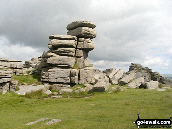
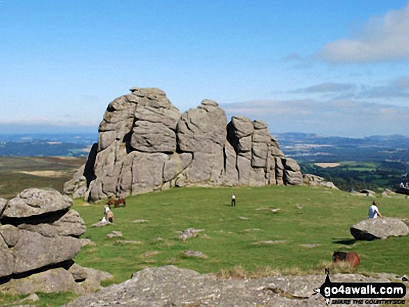
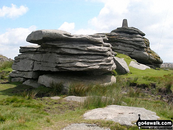
The South West region of England - a fully detailed list of all the Mountains, Peaks, Tops and Hills (Page 2 of 3)
The South West region of England comprises the traditional counties of Cornwall, Devon, Somerset and Dorset and includes Dartmoor National Park and Exmoor National Park.
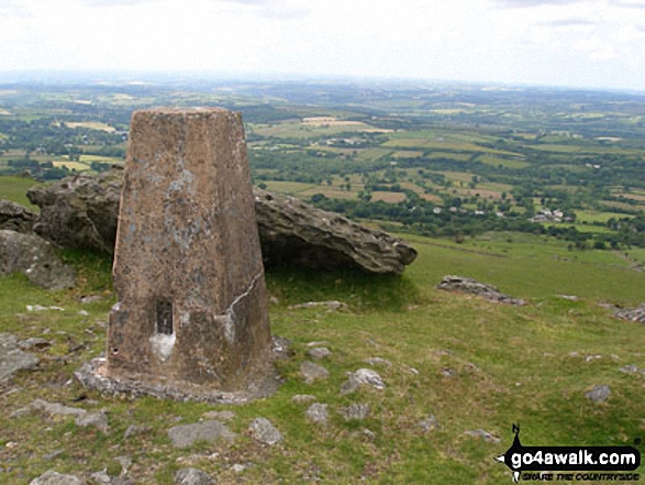
If you include all the Mountains (Hewitts), the Deweys, the Nuttalls, the Marilyns, the Bridgets (Hills) and all the Mountains, Tops, Peaks and Hills with a Trig Point on them there are 123 tops to climb, bag & conquer and the highest point is High Willhays at 622m (2,041ft).
To see these Mountains, Peaks, Tops and Hills displayed in different ways - see the options in the left-hand column and towards the bottom of this page.
LOG ON and RELOAD this page to show which Mountains, Peaks, Tops and Hills you have already climbed, bagged & conquered [. . . more details]
Page 2 of 3 Go to page:
1 2 3 |
See this list in: Alphabetical Order
| Height Order‡
To reverse the order select the link again.
Mountain, Peak, Top or Hill:
Bagged
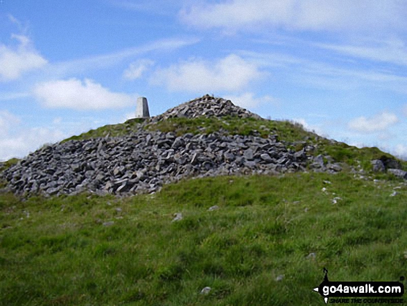
31. Kit Hill
334m (1,096ft)
Marilyn (116th in England, 1324th in GB)
OS Trig Point
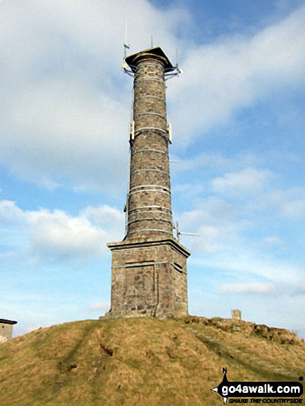
Prince Charles gave Kit Hill to the people of Cornwall in 1982 for their enjoyment to celebrate the birth of Prince William.
To walk, climb & bag Kit Hill use this easy-to-follow walk:
See the location of Kit Hill and walks up it on a google MapKit Hill is on interactive maps:
OS Explorer (Orange Covers): 108
OS Landranger (Pink Covers): 201
A downloadable go4awalk.com PDF Peak Bagging Map featuring Kit Hill will be available soon. |
32. Cranbook Castle (Uppacott Down)
337m (1,106ft)
Bridget
We hope to have walks that climb & bag Cranbook Castle (Uppacott Down) very soon
See the location of Cranbook Castle (Uppacott Down) and walks up it on a google MapCranbook Castle (Uppacott Down) is on interactive maps:
OS Explorer (Orange Covers): OL28
OS Landranger (Pink Covers): 191
Cranbook Castle (Uppacott Down) is on downloadable PDF you can Print or Save to your Phone:
|
33. Gutter Tor (Ringmoor Down)
350m (1,148ft)
Bridget
OS Trig Point
We hope to have walks that climb & bag Gutter Tor (Ringmoor Down) very soon
See the location of Gutter Tor (Ringmoor Down) and walks up it on a google MapGutter Tor (Ringmoor Down) is on interactive maps:
OS Explorer (Orange Covers): OL28
OS Landranger (Pink Covers): 191
|
34. Butterdon Down
351m (1,151ft)
Bridget
We hope to have walks that climb & bag Butterdon Down very soon
See the location of Butterdon Down and walks up it on a google MapButterdon Down is on interactive maps:
OS Explorer (Orange Covers): OL28
OS Landranger (Pink Covers): 191
Butterdon Down is on downloadable PDF you can Print or Save to your Phone:
|
35. Gibbet Hill (Dartmoor)
353m (1,158ft)
Bridget
OS Trig Point
We hope to have walks that climb & bag Gibbet Hill (Dartmoor) very soon
See the location of Gibbet Hill (Dartmoor) and walks up it on a google MapGibbet Hill (Dartmoor) is on interactive maps:
OS Explorer (Orange Covers): OL28
OS Landranger (Pink Covers): 191
|
36. Pepperdon Down
353m (1,158ft)
Bridget
We hope to have walks that climb & bag Pepperdon Down very soon
See the location of Pepperdon Down and walks up it on a google MapPepperdon Down is on interactive maps:
OS Explorer (Orange Covers): OL28
OS Landranger (Pink Covers): 191
Pepperdon Down is on downloadable PDF you can Print or Save to your Phone:
|
37. Blackingstone Rock
355m (1,165ft)
Bridget
We hope to have walks that climb & bag Blackingstone Rock very soon
See the location of Blackingstone Rock and walks up it on a google MapBlackingstone Rock is on interactive maps:
OS Explorer (Orange Covers): OL28
OS Landranger (Pink Covers): 191
Blackingstone Rock is on downloadable PDF you can Print or Save to your Phone:
|
38. Hadborough (Haddon Hill)
355m (1,165ft)
Bridget
OS Trig Point
To walk, climb & bag Hadborough (Haddon Hill) use this easy-to-follow walk:
See the location of Hadborough (Haddon Hill) and walks up it on a google MapHadborough (Haddon Hill) is on interactive maps:
OS Explorer (Orange Covers): OL9
OS Landranger (Pink Covers): 181
A downloadable go4awalk.com PDF Peak Bagging Map featuring Hadborough (Haddon Hill) will be available soon. |
39. Mardon Down
356m (1,168ft)
Bridget
We hope to have walks that climb & bag Mardon Down very soon
See the location of Mardon Down and walks up it on a google MapMardon Down is on interactive maps:
OS Explorer (Orange Covers): OL28
OS Landranger (Pink Covers): 191
Mardon Down is on downloadable PDF you can Print or Save to your Phone:
|
40. Black Hill (Quantocks)
358m (1,174ft)
Bridget
OS Trig Point
To walk, climb & bag Black Hill (Quantocks) use this easy-to-follow walk:
See the location of Black Hill (Quantocks) and walks up it on a google MapBlack Hill (Quantocks) is on interactive maps:
OS Explorer (Orange Covers): 140
OS Landranger (Pink Covers): 181
A downloadable go4awalk.com PDF Peak Bagging Map featuring Black Hill (Quantocks) will be available soon. |
41. Butterdon Hill
365m (1,197ft)
Bridget
OS Trig Point
We hope to have walks that climb & bag Butterdon Hill very soon
See the location of Butterdon Hill and walks up it on a google MapButterdon Hill is on interactive maps:
OS Explorer (Orange Covers): OL28
OS Landranger (Pink Covers): 191
|
42. Sheeps Tor (Yellowmead Down)
369m (1,211ft)
Bridget
We hope to have walks that climb & bag Sheeps Tor (Yellowmead Down) very soon
See the location of Sheeps Tor (Yellowmead Down) and walks up it on a google MapSheeps Tor (Yellowmead Down) is on interactive maps:
OS Explorer (Orange Covers): OL28
OS Landranger (Pink Covers): 191 and
192
|
43. Ugborough Beacon
378m (1,240ft)
Bridget
We hope to have walks that climb & bag Ugborough Beacon very soon
See the location of Ugborough Beacon and walks up it on a google MapUgborough Beacon is on interactive maps:
OS Explorer (Orange Covers): OL28
OS Landranger (Pink Covers): 191
Ugborough Beacon is on downloadable PDF you can Print or Save to your Phone:
|
44. Riddon Ridge
380m (1,247ft)
Bridget
We hope to have walks that climb & bag Riddon Ridge very soon
See the location of Riddon Ridge and walks up it on a google MapRiddon Ridge is on interactive maps:
OS Explorer (Orange Covers): OL28
OS Landranger (Pink Covers): 191
|
45. Sharp Tor
380m (1,247ft)
Bridget
To walk, climb & bag Sharp Tor use this easy-to-follow walk:
See the location of Sharp Tor and walks up it on a google MapSharp Tor is on interactive maps:
OS Explorer (Orange Covers): OL28
OS Landranger (Pink Covers): 191
Sharp Tor is on downloadable PDF you can Print or Save to your Phone:
|
46. Monkham Hill (Withycombe Common)
382m (1,253ft)
Bridget
OS Trig Point
We hope to have walks that climb & bag Monkham Hill (Withycombe Common) very soon
See the location of Monkham Hill (Withycombe Common) and walks up it on a google MapMonkham Hill (Withycombe Common) is on interactive maps:
OS Explorer (Orange Covers): OL9
OS Landranger (Pink Covers): 181
|
47. Wills Neck (Bagborough Hill)
386m (1,266ft)
Marilyn (101st in England, 1231st in GB)
OS Trig Point
We hope to have walks that climb & bag Wills Neck (Bagborough Hill) very soon
See the location of Wills Neck (Bagborough Hill) and walks up it on a google MapWills Neck (Bagborough Hill) is on interactive maps:
OS Explorer (Orange Covers): 140
OS Landranger (Pink Covers): 181
A downloadable go4awalk.com PDF Peak Bagging Map featuring Wills Neck (Bagborough Hill) will be available soon. |
48. Leedon Tor
389m (1,276ft)
Bridget
We hope to have walks that climb & bag Leedon Tor very soon
See the location of Leedon Tor and walks up it on a google MapLeedon Tor is on interactive maps:
OS Explorer (Orange Covers): OL28
OS Landranger (Pink Covers): 191
Leedon Tor is on downloadable PDF you can Print or Save to your Phone:
|
49. Kilmar Tor (Twelve Men's Moor)
390m (1,279ft)
Bridget
OS Trig Point
We hope to have walks that climb & bag Kilmar Tor (Twelve Men's Moor) very soon
See the location of Kilmar Tor (Twelve Men's Moor) and walks up it on a google MapKilmar Tor (Twelve Men's Moor) is on interactive maps:
OS Explorer (Orange Covers): 109
OS Landranger (Pink Covers): 201
|
50. Meldon Hill (Dartmoor)
390m (1,279ft)
Bridget
OS Trig Point
We hope to have walks that climb & bag Meldon Hill (Dartmoor) very soon
See the location of Meldon Hill (Dartmoor) and walks up it on a google MapMeldon Hill (Dartmoor) is on interactive maps:
OS Explorer (Orange Covers): OL28
OS Landranger (Pink Covers): 191
|
51. Hayne Down (Bowerman's Nose)
391m (1,283ft)
Bridget
We hope to have walks that climb & bag Hayne Down (Bowerman's Nose) very soon
See the location of Hayne Down (Bowerman's Nose) and walks up it on a google MapHayne Down (Bowerman's Nose) is on interactive maps:
OS Explorer (Orange Covers): OL28
OS Landranger (Pink Covers): 191
Hayne Down (Bowerman's Nose) is on downloadable PDF you can Print or Save to your Phone:
|
52. Gripper's Hill
398m (1,306ft)
Bridget
We hope to have walks that climb & bag Gripper's Hill very soon
See the location of Gripper's Hill and walks up it on a google MapGripper's Hill is on interactive maps:
OS Explorer (Orange Covers): OL28
OS Landranger (Pink Covers): 191
Gripper's Hill is on downloadable PDF you can Print or Save to your Phone:
|
53. Sharpitor (Peek Hill)
401m (1,316ft)
Bridget
We hope to have walks that climb & bag Sharpitor (Peek Hill) very soon
See the location of Sharpitor (Peek Hill) and walks up it on a google MapSharpitor (Peek Hill) is on interactive maps:
OS Explorer (Orange Covers): OL28
OS Landranger (Pink Covers): 191
|
54. Black Hill (Dartmoor)
412m (1,352ft)
Bridget
We hope to have walks that climb & bag Black Hill (Dartmoor) very soon
See the location of Black Hill (Dartmoor) and walks up it on a google MapBlack Hill (Dartmoor) is on interactive maps:
OS Explorer (Orange Covers): OL28
OS Landranger (Pink Covers): 191
Black Hill (Dartmoor) is on downloadable PDF you can Print or Save to your Phone:
|
55. Hound Tor (Bonehill Down)
414m (1,358ft)
Bridget
To walk, climb & bag Hound Tor (Bonehill Down) use this easy-to-follow walk:
See the location of Hound Tor (Bonehill Down) and walks up it on a google MapHound Tor (Bonehill Down) is on interactive maps:
OS Explorer (Orange Covers): OL28
OS Landranger (Pink Covers): 191
Hound Tor (Bonehill Down) is on downloadable PDF you can Print or Save to your Phone:
|
56. Stalldown Barrow
415m (1,362ft)
Bridget
We hope to have walks that climb & bag Stalldown Barrow very soon
See the location of Stalldown Barrow and walks up it on a google MapStalldown Barrow is on interactive maps:
OS Explorer (Orange Covers): OL28
OS Landranger (Pink Covers): 191
|
57. Brown Willy
420m (1,378ft)
Marilyn (95th in England, 1166th in GB)
OS Trig Point
Brown Willy is the highest point in the county of Cornwall.
To walk, climb & bag Brown Willy use this easy-to-follow walk:
See the location of Brown Willy and walks up it on a google MapBrown Willy is on interactive maps:
OS Explorer (Orange Covers): 109
OS Landranger (Pink Covers): 200 and
201
A downloadable go4awalk.com PDF Peak Bagging Map featuring Brown Willy will be available soon. |
58. Lype Hill
423m (1,388ft)
Bridget
OS Trig Point
We hope to have walks that climb & bag Lype Hill very soon
See the location of Lype Hill and walks up it on a google MapLype Hill is on interactive maps:
OS Explorer (Orange Covers): OL9
OS Landranger (Pink Covers): 181
|
59. Top Tor
432m (1,417ft)
Bridget
We hope to have walks that climb & bag Top Tor very soon
See the location of Top Tor and walks up it on a google MapTop Tor is on interactive maps:
OS Explorer (Orange Covers): OL28
OS Landranger (Pink Covers): 191
Top Tor is on downloadable PDF you can Print or Save to your Phone:
|
60. Corndon Tor
434m (1,424ft)
Bridget
We hope to have walks that climb & bag Corndon Tor very soon
See the location of Corndon Tor and walks up it on a google MapCorndon Tor is on interactive maps:
OS Explorer (Orange Covers): OL28
OS Landranger (Pink Covers): 191
|
61. Kestor Rock (Changford Common)
437m (1,434ft)
Bridget
We hope to have walks that climb & bag Kestor Rock (Changford Common) very soon
See the location of Kestor Rock (Changford Common) and walks up it on a google MapKestor Rock (Changford Common) is on interactive maps:
OS Explorer (Orange Covers): Ol28
OS Landranger (Pink Covers): 191
|
62. Easdon Tor
439m (1,440ft)
Bridget
OS Trig Point
We hope to have walks that climb & bag Easdon Tor very soon
See the location of Easdon Tor and walks up it on a google MapEasdon Tor is on interactive maps:
OS Explorer (Orange Covers): OL28
OS Landranger (Pink Covers): 191
|
63. Sourton Tors
440m (1,444ft)
Bridget
OS Trig Point
To walk, climb & bag Sourton Tors use any of these easy-to-follow walks:
See the location of Sourton Tors and walks up it on a google MapSourton Tors is on interactive maps:
OS Explorer (Orange Covers): OL28
OS Landranger (Pink Covers): 191
|
64. Cox Tor
442m (1,450ft)
Bridget
OS Trig Point
We hope to have walks that climb & bag Cox Tor very soon
See the location of Cox Tor and walks up it on a google MapCox Tor is on interactive maps:
OS Explorer (Orange Covers): OL28
OS Landranger (Pink Covers): 191
Cox Tor is on downloadable PDF you can Print or Save to your Phone:
|
65. Bellever Tor
443m (1,453ft)
Bridget
OS Trig Point
To walk, climb & bag Bellever Tor use either of these easy-to-follow walks:
See the location of Bellever Tor and walks up it on a google MapBellever Tor is on interactive maps:
OS Explorer (Orange Covers): OL28
OS Landranger (Pink Covers): 191
|
66. South Hessary Tor
450m (1,476ft)
Bridget
To walk, climb & bag South Hessary Tor use this easy-to-follow walk:
See the location of South Hessary Tor and walks up it on a google MapSouth Hessary Tor is on interactive maps:
OS Explorer (Orange Covers): OL28
OS Landranger (Pink Covers): 191
South Hessary Tor is on downloadable PDF you can Print or Save to your Phone:
|
67. Chinkwell Tor
452m (1,483ft)
Bridget
We hope to have walks that climb & bag Chinkwell Tor very soon
See the location of Chinkwell Tor and walks up it on a google MapChinkwell Tor is on interactive maps:
OS Explorer (Orange Covers): OL28
OS Landranger (Pink Covers): 191
|
68. Roos Tor
454m (1,490ft)
Bridget
To walk, climb & bag Roos Tor use either of these easy-to-follow walks:
See the location of Roos Tor and walks up it on a google MapRoos Tor is on interactive maps:
OS Explorer (Orange Covers): OL28
OS Landranger (Pink Covers): 191
Roos Tor is on downloadable PDF you can Print or Save to your Phone:
|
69. Great Staple Tor
455m (1,493ft)
Bridget
To walk, climb & bag Great Staple Tor use either of these easy-to-follow walks:
See the location of Great Staple Tor and walks up it on a google MapGreat Staple Tor is on interactive maps:
OS Explorer (Orange Covers): OL28
OS Landranger (Pink Covers): 191
Great Staple Tor is on downloadable PDF you can Print or Save to your Phone:
|
70. Haytor Rocks
457m (1,499ft)
Bridget
We hope to have walks that climb & bag Haytor Rocks very soon
See the location of Haytor Rocks and walks up it on a google MapHaytor Rocks is on interactive maps:
OS Explorer (Orange Covers): OL28
OS Landranger (Pink Covers): 191
|
71. Three Barrows (Ugborough Moor)
464m (1,522ft)
Bridget
OS Trig Point
We hope to have walks that climb & bag Three Barrows (Ugborough Moor) very soon
See the location of Three Barrows (Ugborough Moor) and walks up it on a google MapThree Barrows (Ugborough Moor) is on interactive maps:
OS Explorer (Orange Covers): OL28
OS Landranger (Pink Covers): 191
|
72. White Tor
468m (1,535ft)
Bridget
We hope to have walks that climb & bag White Tor very soon
See the location of White Tor and walks up it on a google MapWhite Tor is on interactive maps:
OS Explorer (Orange Covers): OL28
OS Landranger (Pink Covers): 191
White Tor is on downloadable PDF you can Print or Save to your Phone:
|
73. Rippon Tor
473m (1,552ft)
Bridget
OS Trig Point
We hope to have walks that climb & bag Rippon Tor very soon
See the location of Rippon Tor and walks up it on a google MapRippon Tor is on interactive maps:
OS Explorer (Orange Covers): OL28
OS Landranger (Pink Covers): 191
|
74. Belstone Tor
479m (1,572ft)
Bridget
To walk, climb & bag Belstone Tor use any of these easy-to-follow walks:
See the location of Belstone Tor and walks up it on a google MapBelstone Tor is on interactive maps:
OS Explorer (Orange Covers): OL28
OS Landranger (Pink Covers): 191
|
75. Quickbeam Hill
481m (1,578ft)
Bridget
We hope to have walks that climb & bag Quickbeam Hill very soon
See the location of Quickbeam Hill and walks up it on a google MapQuickbeam Hill is on interactive maps:
OS Explorer (Orange Covers): OL28
OS Landranger (Pink Covers): 191
Quickbeam Hill is on downloadable PDF you can Print or Save to your Phone:
|
76. Lee Moor (Penn Moor)
492m (1,614ft)
Bridget
OS Trig Point
We hope to have walks that climb & bag Lee Moor (Penn Moor) very soon
See the location of Lee Moor (Penn Moor) and walks up it on a google MapLee Moor (Penn Moor) is on interactive maps:
OS Explorer (Orange Covers): OL28
OS Landranger (Pink Covers): 191
|
77. White Ridge
506m (1,660ft)
Dewey (171st in England, 395th in England & Wales)
We hope to have walks that climb & bag White Ridge very soon
See the location of White Ridge and walks up it on a google MapWhite Ridge is on interactive maps:
OS Explorer (Orange Covers): OL28
OS Landranger (Pink Covers): 191
White Ridge is on downloadable PDF you can Print or Save to your Phone:
|
78. Beardown Tors
512m (1,680ft)
Dewey (157th in England, 360th in England & Wales)
To walk, climb & bag Beardown Tors use this easy-to-follow walk:
See the location of Beardown Tors and walks up it on a google MapBeardown Tors is on interactive maps:
OS Explorer (Orange Covers): OL28
OS Landranger (Pink Covers): 191
Beardown Tors is on downloadable PDF you can Print or Save to your Phone:
|
79. Ryder's Hill
515m (1,690ft)
Dewey (152nd in England, 348th in England & Wales)
OS Trig Point
We hope to have walks that climb & bag Ryder's Hill very soon
See the location of Ryder's Hill and walks up it on a google MapRyder's Hill is on interactive maps:
OS Explorer (Orange Covers): OL28
OS Landranger (Pink Covers): 191
Ryder's Hill is on downloadable PDF you can Print or Save to your Phone:
|
80. North Hessary Tor
517m (1,696ft)
Dewey (147th in England, 336th in England & Wales)
OS Trig Point
To walk, climb & bag North Hessary Tor use either of these easy-to-follow walks:
See the location of North Hessary Tor and walks up it on a google MapNorth Hessary Tor is on interactive maps:
OS Explorer (Orange Covers): OL28
OS Landranger (Pink Covers): 191
North Hessary Tor is on downloadable PDF you can Print or Save to your Phone:
|
81. Dunkery Beacon
519m (1,703ft)
Dewey (140th in England, 319th in England & Wales)
Marilyn (72nd in England, 940th in GB)
OS Trig Point
Dunkery Beacon is the highest point in the county of Somerset.
To walk, climb & bag Dunkery Beacon use either of these easy-to-follow walks:
See the location of Dunkery Beacon and walks up it on a google MapDunkery Beacon is on interactive maps:
OS Explorer (Orange Covers): OL9
OS Landranger (Pink Covers): 181
A downloadable go4awalk.com PDF Peak Bagging Map featuring Dunkery Beacon will be available soon. |
82. Higher White Tor
525m (1,723ft)
Dewey (127th in England, 291st in England & Wales)
To walk, climb & bag Higher White Tor use either of these easy-to-follow walks:
See the location of Higher White Tor and walks up it on a google MapHigher White Tor is on interactive maps:
OS Explorer (Orange Covers): OL28
OS Landranger (Pink Covers): 191
Higher White Tor is on downloadable PDF you can Print or Save to your Phone:
|
83. Hameldown Tor (Hamel Down)
532m (1,746ft)
Dewey (109th in England, 257th in England & Wales)
OS Trig Point
We hope to have walks that climb & bag Hameldown Tor (Hamel Down) very soon
See the location of Hameldown Tor (Hamel Down) and walks up it on a google MapHameldown Tor (Hamel Down) is on interactive maps:
OS Explorer (Orange Covers): OL28
OS Landranger (Pink Covers): 191
Hameldown Tor (Hamel Down) is on downloadable PDF you can Print or Save to your Phone:
|
84. Steeperton Tor
532m (1,746ft)
Dewey (110th in England, 258th in England & Wales)
To walk, climb & bag Steeperton Tor use either of these easy-to-follow walks:
See the location of Steeperton Tor and walks up it on a google MapSteeperton Tor is on interactive maps:
OS Explorer (Orange Covers): OL28
OS Landranger (Pink Covers): 191
Steeperton Tor is on downloadable PDF you can Print or Save to your Phone:
|
85. Sittaford Tor
538m (1,765ft)
Bridget
We hope to have walks that climb & bag Sittaford Tor very soon
See the location of Sittaford Tor and walks up it on a google MapSittaford Tor is on interactive maps:
OS Explorer (Orange Covers): OL28
OS Landranger (Pink Covers): 191
|
86. Great Mis Tor
539m (1,768ft)
Dewey (95th in England, 216th in England & Wales)
To walk, climb & bag Great Mis Tor use any of these easy-to-follow walks:
See the location of Great Mis Tor and walks up it on a google MapGreat Mis Tor is on interactive maps:
OS Explorer (Orange Covers): OL28
OS Landranger (Pink Covers): 191
Great Mis Tor is on downloadable PDF you can Print or Save to your Phone:
|
87. Cosdon Hill (Cawsand Hill)
551m (1,808ft)
Dewey (70th in England, 160th in England & Wales)
OS Trig Point
To walk, climb & bag Cosdon Hill (Cawsand Hill) use this easy-to-follow walk:
See the location of Cosdon Hill (Cawsand Hill) and walks up it on a google MapCosdon Hill (Cawsand Hill) is on interactive maps:
OS Explorer (Orange Covers): OL28
OS Landranger (Pink Covers): 191
Cosdon Hill (Cawsand Hill) is on downloadable PDF you can Print or Save to your Phone:
|
88. Kitty Tor (Amicombe Hill)
585m (1,919ft)
Dewey (24th in England, 61st in England & Wales)
To walk, climb & bag Kitty Tor (Amicombe Hill) use either of these easy-to-follow walks:
See the location of Kitty Tor (Amicombe Hill) and walks up it on a google MapKitty Tor (Amicombe Hill) is on interactive maps:
OS Explorer (Orange Covers): OL28
OS Landranger (Pink Covers): 191
Kitty Tor (Amicombe Hill) is on downloadable PDF you can Print or Save to your Phone:
|
89. Great Links Tor
587m (1,926ft)
Dewey (22nd in England, 56th in England & Wales)
OS Trig Point
To walk, climb & bag Great Links Tor use this easy-to-follow walk:
See the location of Great Links Tor and walks up it on a google MapGreat Links Tor is on interactive maps:
OS Explorer (Orange Covers): OL28
OS Landranger (Pink Covers): 191
Great Links Tor is on downloadable PDF you can Print or Save to your Phone:
|
90. Cut Hill
603m (1,979ft)
Dewey (7th in England, 17th in England & Wales)
OS Trig Point
We hope to have walks that climb & bag Cut Hill very soon
See the location of Cut Hill and walks up it on a google MapCut Hill is on interactive maps:
OS Explorer (Orange Covers): OL28
OS Landranger (Pink Covers): 191
Cut Hill is on downloadable PDF you can Print or Save to your Phone:
|
Page 2 of 3 Go to page:
1 2 3 |
View these 123 Mountains, Peaks, Tops and Hills:
Is there a Mountain, Peak, Top or Hill missing from the above google map or list?
Let us know an we will add it to our database.


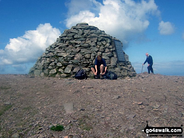
 The summit of High Willhays in


