   |
Vital Statistics:
| Length: | 5¾mls (9km) |
| Ascent: | 1,083ft (330m) |
| Time: | 3¼hrs |
| Grade: |  |
Route outline for walk so106:
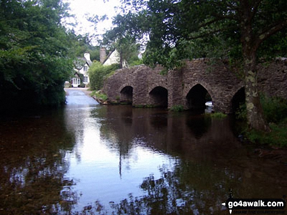
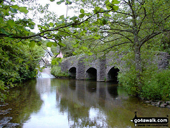
Bury - River Haddeo - Hartford Bottom - Hartford Lodge - Pulham River - Upton Dam - Wimbleball Lake - Haddon Hill - Hadborough (Haddon Hill) - Hadborough Plantation - Haddon Farm - Bury
Points of Interest/Notes on this walk:
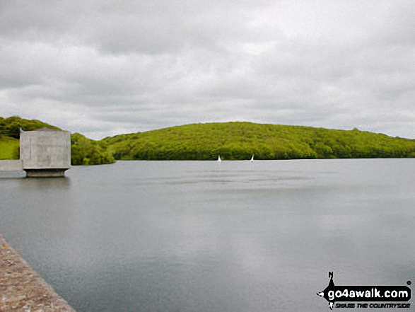
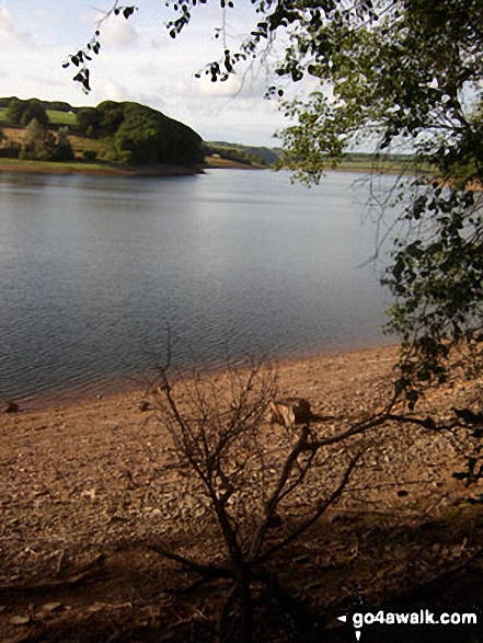
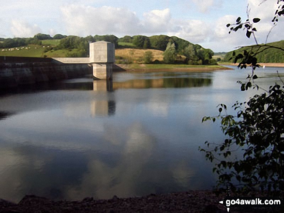
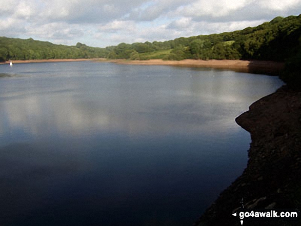
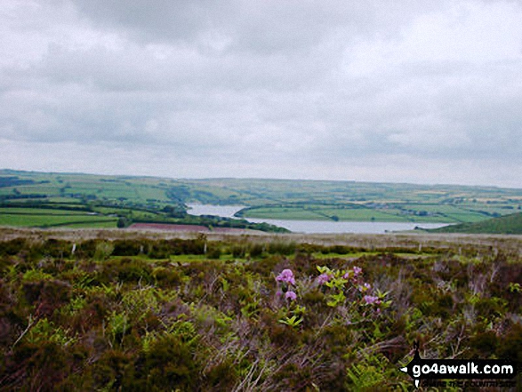
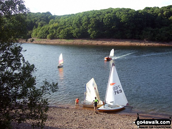
Wimbleball Lake is in fact a reservoir built in the 1970's. Exmoor has no natural lakes.
Peaks, Summits and Tops reached on this walk:
 0 English Mountains |
 0 Wainwrights |
 0 English Nuttalls |
 0 English Deweys |
 0 Wainwright Outlying Fells |
 0 Marilyns |
 1 Bridget |
Peak Bagging Statistics for this walk:
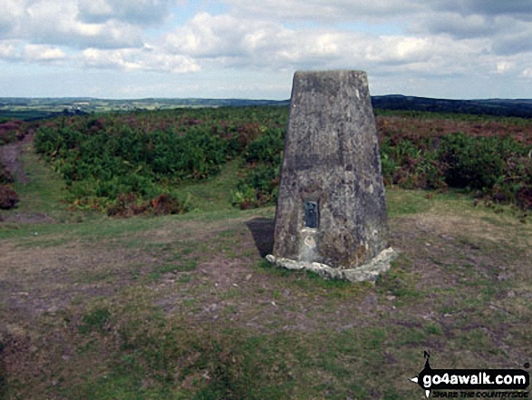
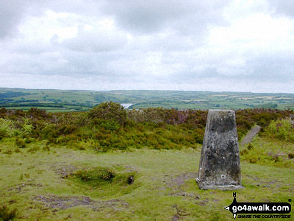
The highest point of this walk is Hadborough (Haddon Hill) at 355m (1165ft). Hadborough (Haddon Hill) is known as an English Bridget. The summit of Hadborough (Haddon Hill) is marked by an Ordnance Survey Trig Point.
You can find this walk and other nearby walks on these unique free-to-access Interactive Walk Planning Maps:
1:25,000 scale OS Explorer Map (orange/yellow covers):
1:50,000 scale OS Landranger Map (pink/magenta covers):
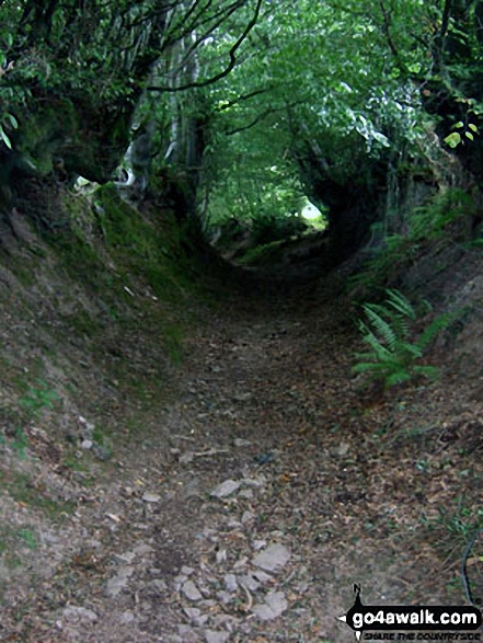
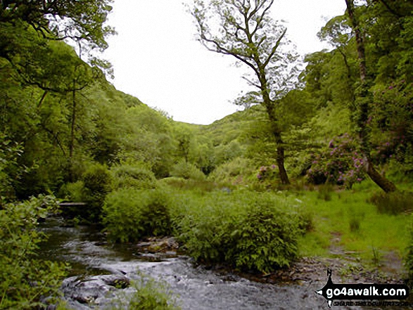
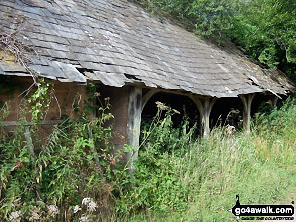
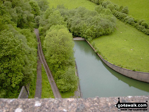
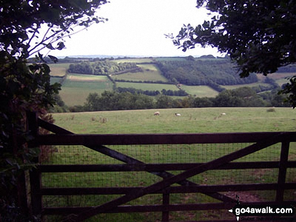
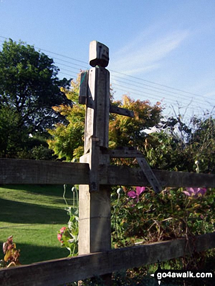
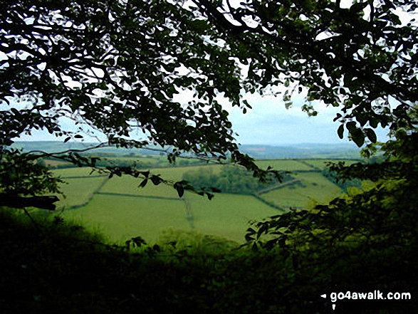
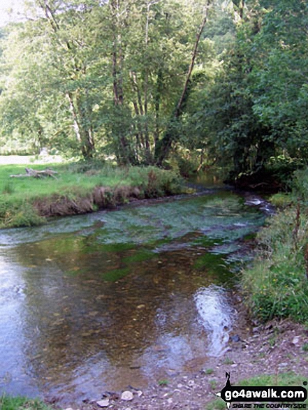
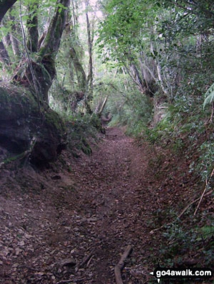
Some Photos and Pictures from Walk so106 Haddon Hill and Wimbleball Lake from Bury
In no particular order . . .
Send us your photographs and pictures from your walks and hikes
We would love to see your photographs and pictures from walk so106 Haddon Hill and Wimbleball Lake from Bury. Send them in to us as email attachments (configured for any computer) along with your name and where the picture was taken to:
and we shall do our best to publish them.
(Guide Resolution = 300dpi. At least = 660 pixels (wide) x 440 pixels (high).)

You can also submit photos from walk so106 Haddon Hill and Wimbleball Lake from Bury via our Facebook Page.
NB. Please indicate where each photo was taken.


