
![]()
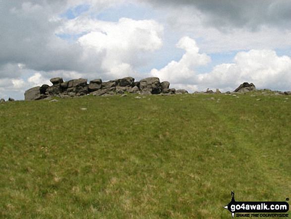
Sourton Tors
440m (1444ft)
Dartmoor, Devon, England
The summit of Sourton Tors is marked by an Ordnance Survey Trig Point.

Not familiar with this top?
You can walk/hike to the top of Sourton Tors by using any of these 3 easy‑to‑follow route maps:
Walk de123 Sourton Tors and Meldon Reservoir from Sourton
High moorland walk to superb views
   |
|---|
Vital Statistics:
| Length: | 6.5ml (10.5km) |
|---|---|
| Ascent: | 1,188ft (362m) |
| Time: | 3.75hrs |
| Grade: |  (Moderate) (Moderate) |
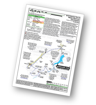
Route Summary:
Sourton - Sourton Church - Two Castles Trail - The West Devon Way - Sourton Tors - Vellake Brook - West Okement River - Vellake Weir - Meldon Reservoir - Downside - The Granite Way - Prewley Moor - Sourton Church.
Walk de145 Kitty Tor and Sourton Tor from Sourton
High moorland walk to superb views
|
|---|
Vital Statistics:
| Length: | 8.25ml (13km) |
|---|---|
| Ascent: | 1,375ft (419m) |
| Time: | 4½ hrs |
| Grade: |  (Moderate) (Moderate) |
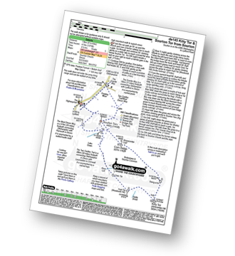
Route Summary:
Sourton - Sourton Church - River Lyd - Gren Tor - Hunt Tor - Woodcock Hill - Rattle Brook - Kitty Tor (Amicombe Hill) - Amicombe Hill - Sten-a-tor - Corn Ridge - Sourton Tors - Two Castles Trail - The West Devon Way - Prewley Moor - The Granite Way - Sourton Church.
Walk de110 Great Links Tor and Kitty Tor from Sourton
High moorland walk to superb views
|
|---|
Vital Statistics:
| Length: | 9.5ml (15.5km) |
|---|---|
| Ascent: | 1,638ft (499m) |
| Time: | 5.25hrs |
| Grade: |  (Moderate) (Moderate) |

Route Summary:
Sourton - Sourton Church - River Lyd - Gren Tor - Hunt Tor - Woodcock Hill - Great Links Tor - Higher Dunna Goat - Lower Dunna Goat - Rattle Brook - Green Tor - Kitty Tor (Amicombe Hill) - Amicombe Hill - Steng-a-tor - Corn Ridge - Branscombe Loaf - Sourton Tors - Two Castles Trail - The West Devon Way - Prewley Moor - The Granite Way - Sourton Church.
See Sourton Tors and the surrounding tops on our free-to-access 'Google Style' Peak Bagging Map:
See Sourton Tors and the surrounding tops on our unique, downloadable, PDF Peak Bagging Map:

NB: Whether you print off a copy or download it to your phone, this PDF Peak Baggers' Map might prove incredibly useful when your are up there on the tops and you cannot get a phone signal.
You can find Sourton Tors & all the walks that climb it on these unique free-to-access Interactive Walk Planning Maps:
1:25,000 scale OS Explorer Map (orange/yellow covers):
1:50,000 scale OS Landranger Map (pink/magenta covers):
 Fellow go4awalkers who have already walked, climbed, scaled, summited, hiked & bagged Sourton Tors
To add (or remove) your name and experiences on this page - Log On and edit your Personal Mountain Bagging Record
More Photographs & Pictures of views from, on, or of, Sourton Tors
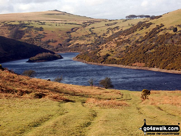
Ascending Longstone Hill from Meldon Reservoir with Sourton Tors on the horizon

Send us your photographs and pictures on, of, or from Sourton Tors
If you would like to add your walk photographs and pictures to this page, please send them as email attachments (configured for any computer) along with your name to:
and we shall do our best to publish them.
(Guide Resolution = 300dpi. At least = 660pixels (wide) x 440 pixels (high).)

You can also submit photos via our Facebook Page.
NB. Please indicate where each photo was taken and whether you wish us to credit your photos with a Username or your First Name/Last Name.


