   |
Vital Statistics:
| Length: | 6½mls (10.5km) |
| Ascent: | 1,188ft (362m) |
| Time: | 3¾hrs |
| Grade: |  |
Route outline for walk de123:
Sourton - Sourton Church - Two Castles Trail - The West Devon Way - Sourton Tors - Vellake Brook - West Okement River - Vellake Weir - Meldon Reservoir - Downside - The Granite Way - Prewley Moor - Sourton Church.
Peaks, Summits and Tops reached on this walk:
 0 English Mountains |
 0 Wainwrights |
 0 English Nuttalls |
 0 English Deweys |
 0 Wainwright Outlying Fells |
 0 Marilyns |
 1 Bridget |
Peak Bagging Statistics for this walk:
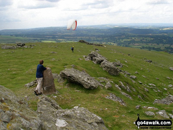
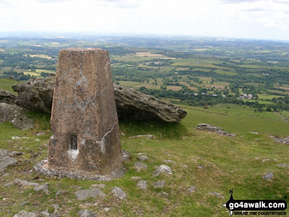
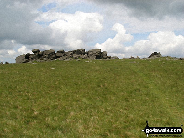
The highest point of this walk is Sourton Tors at 440m (1444ft). Sourton Tors is known as an English Bridget. The summit of Sourton Tors is marked by an Ordnance Survey Trig Point.
National Trails & Long Paths included on this walk:
Part of this walk follows a section of The Granite Way, an 18km (11 miles) linear footpath connecting Okehampton in Devon, England with Lydford in Devon, England. The Granite Way is waymarked by named posts. For more walks that include a section of this trail see The Granite Way.
Part of this walk also follows a section of The West Devon Way, a 57km (35 miles) linear footpath connecting Okehampton in Devon, England with Plymouth in Devon, England. The West Devon Way is waymarked by a walker/castle motif. For more walks that include a section of this trail see The West Devon Way.
You can find this walk and other nearby walks on these unique free-to-access Interactive Walk Planning Maps:
1:25,000 scale OS Explorer Map (orange/yellow covers):
1:50,000 scale OS Landranger Map (pink/magenta covers):
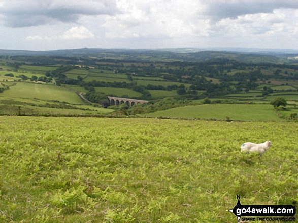
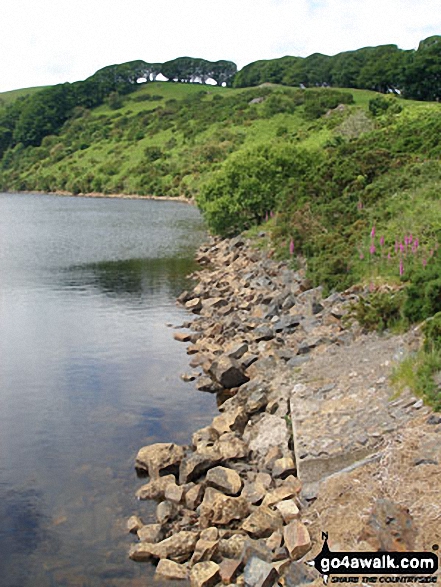
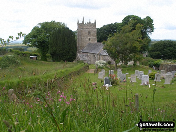
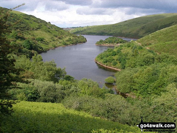
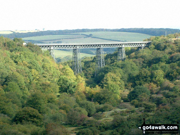
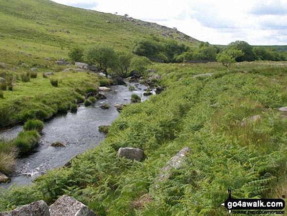
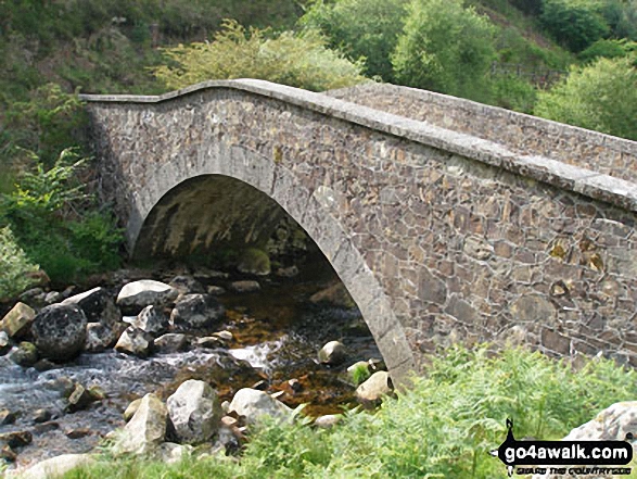
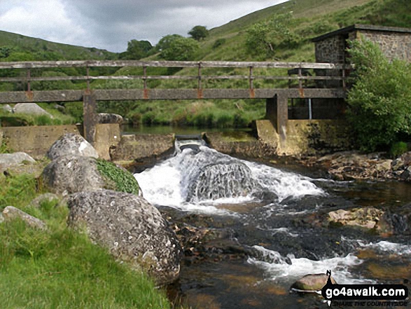
Some Photos and Pictures from Walk de123 Sourton Tors and Meldon Reservoir from Sourton
In no particular order . . .
Send us your photographs and pictures from your walks and hikes
We would love to see your photographs and pictures from walk de123 Sourton Tors and Meldon Reservoir from Sourton. Send them in to us as email attachments (configured for any computer) along with your name and where the picture was taken to:
and we shall do our best to publish them.
(Guide Resolution = 300dpi. At least = 660 pixels (wide) x 440 pixels (high).)

You can also submit photos from walk de123 Sourton Tors and Meldon Reservoir from Sourton via our Facebook Page.
NB. Please indicate where each photo was taken.


