Walk de104 South Hessary Tor and Black Tor from Princetown
This 7¾ mile, Grade 3 (Easy), easy-to-follow, hand-crafted walk, complete with GPS Waypoints, starts at Princetown & will take about 3½ hrs to complete.
   |
Vital Statistics:
| Length: | 7¾mls (12.5km) |
| Ascent: | 643ft (196m) |
| Time: | 3½hrs |
| Grade: |  |
Route outline for walk de104:
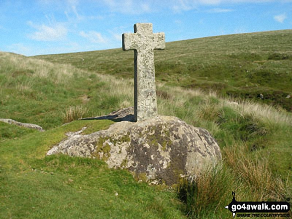
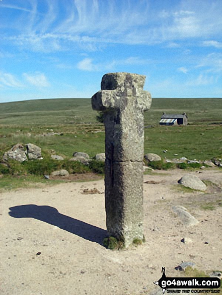
Princetown - South Hessary Tor - Siward's Cross - Nun's Cross - Devonport Leat - Raddick Hill - River Meavey - Black Tor (Walkhampton Common) - The Dartmoor Way - Princetown
Points of Interest/Notes on this walk:
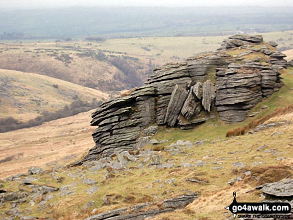
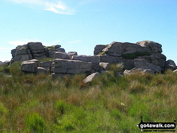
The odd shaped lumps of rock strewn across so many of the South West's tors are collectively known as 'clitter'.
Peaks, Summits and Tops reached on this walk:
 0 English Mountains |
 0 Wainwrights |
 0 English Nuttalls |
 0 English Deweys |
 0 Wainwright Outlying Fells |
 0 Marilyns |
 1 Bridget |
Peak Bagging Statistics for this walk:
The highest point of this walk is South Hessary Tor at 450m (1476ft). South Hessary Tor is known as an English Bridget. The summit of South Hessary Tor is marked by a rocky outcrop.
National Trails & Long Paths included on this walk:
Part of this walk follows a section of The Dartmoor Way, a 138km (86 miles) circular footpath starting and finishing in Buckfastleigh in Devon, England. The Dartmoor Way is waymarked by occasional signs. For more walks that include a section of this trail see The Dartmoor Way.
Free-to-access Interactive Walk Planning Maps:
1:25,000 scale OS Explorer Map (orange/yellow covers):
1:50,000 scale OS Landranger Maps (pink/magenta covers):
An Interactive Walk Planning Map for OS Landranger 202 Torbay & South Dartmoor, Totnes & Salcombe is not currently available
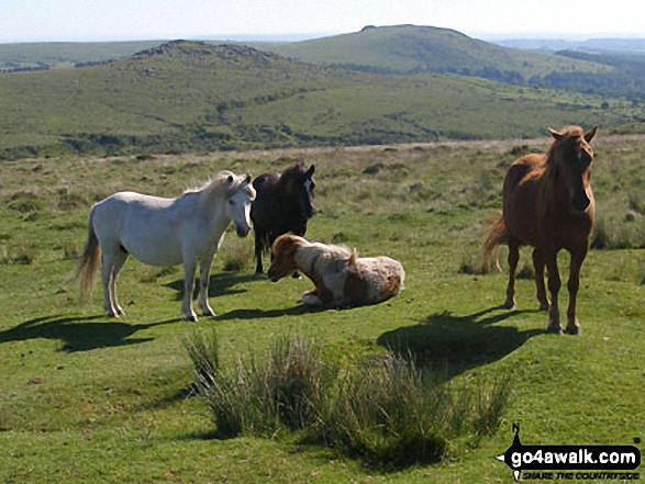
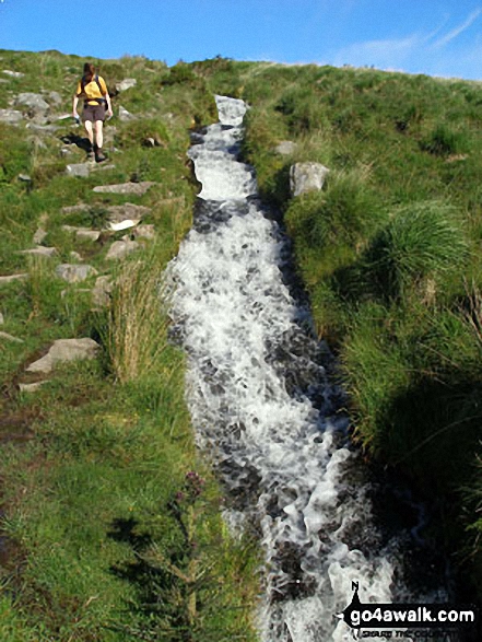
Some Photos and Pictures from Walk de104 South Hessary Tor and Black Tor from Princetown
In no particular order . . .


Princetown from the path to South Hessary Tor with North Hessary Tor beyond
. . . load all 18 walk photos from Walk de104 South Hessary Tor and Black Tor from Princetown
Send us your photographs and pictures from your walks and hikes
We would love to see your photographs and pictures from walk de104 South Hessary Tor and Black Tor from Princetown. Send them in to us as email attachments (configured for any computer) along with your name and where the picture was taken to:
and we shall do our best to publish them.
(Guide Resolution = 300dpi. At least = 660 pixels (wide) x 440 pixels (high).)

You can also submit photos from walk de104 South Hessary Tor and Black Tor from Princetown via our Facebook Page.
NB. Please indicate where each photo was taken.
To contribute to go4awalk.com or to contact us about anything at all - see Talk To Us.
For help see Help.
go4awalk.com and go4awalk.co.uk are registered trademarks of TMDH Limited.
Copyright © 2000-2026 TMDH Limited. All rights reserved.
Copyright Terms & Conditions Privacy Statement
A - Z Walks Home Log On/Accounts Photo Gallery Walk Ideas and Collections Fell Facts Hill Skills Walking Questions and Answers Your Stories News Competitions Product Reviews/Gear Tests Walking Gear Guides Peaks and Mountains Peak Bagging Find New Walking Friends Camping GPS Waypoints for Walking Contents Walk Search Talk To Us go4awalk.com Help Free Example Walks Newsletter


