The 30 nearest, easy-to-follow, circular walks, routes & maps to UK Postcode TD2

The thirty nearest, easy-to-follow, circular walks, routes & maps to UK Postcode TD2 in Walk Grade Order


Not familiar with the area around TD2?

See these 30 nearest walks to UK Postcode TD2 on a google map


Walk 1 Walking Bootprint Icon

Walk bo124 Hownam Law from Morebattle

Superb, extensive views over the Merse of Scotland and the Border hills

Download GPS Waypoint Data for walk bo124
Download GPX Waypoint Data for walk bo124
Download Map and Route Details for walk bo124

Vital Statistics:

Length:8.75 miles (14 km)
Ascent:1,260ft (384m)
Time:4½ hrs
Grade:Grade 5 Walking Moderate
Walk 2 Walking Bootprint Icon

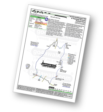
Walk bo143 Humblemoor Hill from Tow Ford

Easy walking in wild country

Download GPS Waypoint Data for walk bo143
Download GPX Waypoint Data for walk bo143
Download Map and Route Details for walk bo143

Vital Statistics:

Length:7 miles (11 km)
Ascent:1,408ft (429m)
Time:4 hrs
Grade:Grade 5 Walking Moderate
Walk 3 Walking Bootprint Icon

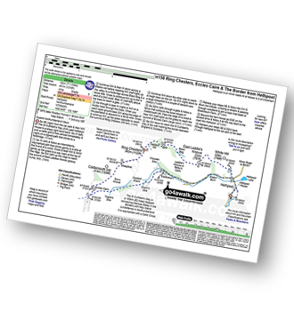
Walk n158 Ring Chesters, Eccles Cairn and The Border from Hethpool

Superb Northumberland Views

Download GPS Waypoint Data for walk n158
Download GPX Waypoint Data for walk n158
Download Map and Route Details for walk n158

Vital Statistics:

Length:7.5 miles (12 km)
Ascent:1,316ft (401m)
Time:4 hrs
Grade:Grade 5 Walking Moderate
Walk 4 Walking Bootprint Icon

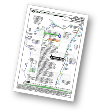
Walk n200 The Schil from Hethpool

Superb High Level Northumberland Mountain Walk

Download GPS Waypoint Data for walk n200
Download GPX Waypoint Data for walk n200
Download Map and Route Details for walk n200

Vital Statistics:

Length:13.75 miles (22 km)
Ascent:2,665ft (812m)
Time:7.75hrs
Grade:Grade 7 Walking Hard
Walk 5 Walking Bootprint Icon

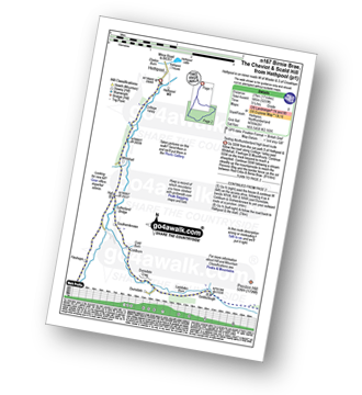
Walk n167 The Cheviot from Hethpool

Testing Northumberland High Level Route

Download GPS Waypoint Data for walk n167
Download GPX Waypoint Data for walk n167
Download Map and Route Details for walk n167

Vital Statistics:

Length:16.5 miles (26.5 km)
Ascent:3,144ft (958m)
Time:9.25hrs
Grade:Grade 8 Walking Hard
Walk 6 Walking Bootprint Icon

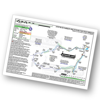
Walk n110 The St Cuthbert's Way and Eccles Cairn from Hethpool

Superb Northumberland Views

Download GPS Waypoint Data for walk n110
Download GPX Waypoint Data for walk n110
Download Map and Route Details for walk n110

Vital Statistics:

Length:7.25 miles (11.5 km)
Ascent:1,165ft (355m)
Time:3.75hrs
Grade:Grade 4 Walking Moderate
Walk 7 Walking Bootprint Icon

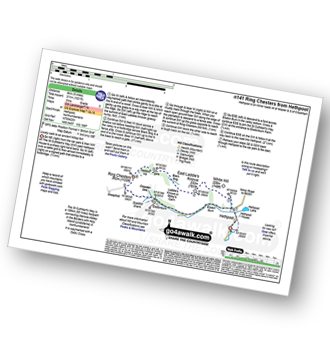
Walk n141 Ring Chesters from Hethpool

Lovely walk to an ancient hilltop fort

Download GPS Waypoint Data for walk n141
Download GPX Waypoint Data for walk n141
Download Map and Route Details for walk n141

Vital Statistics:

Length:5 miles (8 km)
Ascent:1,021ft (311m)
Time:3 hrs
Grade:Grade 3 Walking Easy
Walk 8 Walking Bootprint Icon

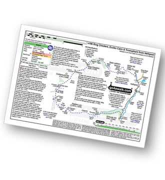
Walk n196 Ring Chesters, Eccles Cairn and Trowupburn from Hethpool

Superb Northumberland views and ancient forts

Download GPS Waypoint Data for walk n196
Download GPX Waypoint Data for walk n196
Download Map and Route Details for walk n196

Vital Statistics:

Length:8.25 miles (13 km)
Ascent:1,483ft (452m)
Time:4½ hrs
Grade:Grade 5 Walking Moderate
Walk 9 Walking Bootprint Icon

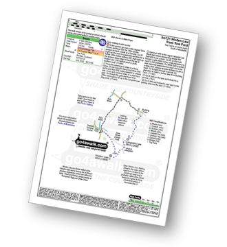
Walk bo131 Woden Law from Tow Ford

Easy walking on quiet lonely fells

Download GPS Waypoint Data for walk bo131
Download GPX Waypoint Data for walk bo131
Download Map and Route Details for walk bo131

Vital Statistics:

Length:4 miles (6.5 km)
Ascent:1,057ft (322m)
Time:2.75hrs
Grade:Grade 3 Walking Easy
Walk 10 Walking Bootprint Icon

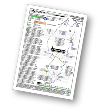
Walk bo119 Woden Law and Humblemoor Hill from Tow Ford

Easy walking on quiet lonely fells

Download GPS Waypoint Data for walk bo119
Download GPX Waypoint Data for walk bo119
Download Map and Route Details for walk bo119

Vital Statistics:

Length:10 miles (16 km)
Ascent:2,238ft (682m)
Time:6 hrs
Grade:Grade 6 Walking Moderate
Walk 11 Walking Bootprint Icon

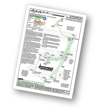
Walk bo104 Skelfhill Pen from Buccleuch Estates (Teviothead)

Quiet lonely fells

Download GPS Waypoint Data for walk bo104
Download GPX Waypoint Data for walk bo104
Download Map and Route Details for walk bo104

Vital Statistics:

Length:8.25 miles (13 km)
Ascent:1,520ft (463m)
Time:4½ hrs
Grade:Grade 5 Walking Moderate
Walk 12 Walking Bootprint Icon

Walk bo128 Dod Hill (Teviothead) from Linhope Farm

Superb views on quiet peaceful fells

Download GPS Waypoint Data for walk bo128
Download GPX Waypoint Data for walk bo128
Download Map and Route Details for walk bo128

Vital Statistics:

Length:4.5 miles (7 km)
Ascent:1,503ft (458m)
Time:3.25hrs
Grade:Grade 4 Walking Moderate
Walk 13 Walking Bootprint Icon

Walk bo114 Lightning Hill, Wether Law (Teviothead), Tudhope Hill and Dod Hill from Linhope Farm

Superb views on quiet peaceful fells

Download GPS Waypoint Data for walk bo114
Download GPX Waypoint Data for walk bo114
Download Map and Route Details for walk bo114

Vital Statistics:

Length:8.75 miles (14 km)
Ascent:2,793ft (851m)
Time:6 hrs
Grade:Grade 6 Walking Moderate
Walk 14 Walking Bootprint Icon

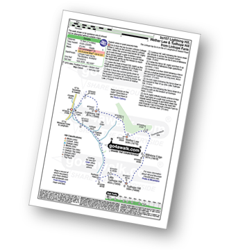
Walk bo107 Lightning Hill, Wether Law (Teviothead) and Tudhope Hill from Linhope Farm

Superb views on quiet peaceful fells

Download GPS Waypoint Data for walk bo107
Download GPX Waypoint Data for walk bo107
Download Map and Route Details for walk bo107

Vital Statistics:

Length:7.25 miles (11.5 km)
Ascent:2,009ft (612m)
Time:4.75hrs
Grade:Grade 5 Walking Moderate
Walk 15 Walking Bootprint Icon

Walk n109 Windy Gyle from Rowhope Bridge

Wild walking on the Scotland/England border

Download GPS Waypoint Data for walk n109
Download GPX Waypoint Data for walk n109
Download Map and Route Details for walk n109

Vital Statistics:

Length:7.5 miles (12 km)
Ascent:1,753ft (534m)
Time:4½ hrs
Grade:Grade 5 Walking Moderate

Not familiar with the area around TD2?

See these 30 nearest walks to UK Postcode TD2 on a google map


Walk 16 Walking Bootprint Icon

Walk n132 The Cheviot, Comb Fell and Hedgehope Hill from Harthope Burn Valley

Fabulous high level walk

Download GPS Waypoint Data for walk n132
Download GPX Waypoint Data for walk n132
Download Map and Route Details for walk n132

Vital Statistics:

Length:9.5 miles (15.5 km)
Ascent:2,800ft (853m)
Time:6½ hrs
Grade:Grade 7 Walking Hard
Walk 17 Walking Bootprint Icon

Walk n101 The Cheviot from Harthope Burn Valley

Up and down Northumberland's biggest

Download GPS Waypoint Data for walk n101
Download GPX Waypoint Data for walk n101
Download Map and Route Details for walk n101

Vital Statistics:

Length:7 miles (11 km)
Ascent:2,022ft (616m)
Time:4½ hrs
Grade:Grade 5 Walking Moderate
Walk 18 Walking Bootprint Icon

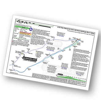
Walk n119 The Cheviot and Cairn Hill from Harthope Burn Velley

Circular walk up Northumberlands highest

Download GPS Waypoint Data for walk n119
Download GPX Waypoint Data for walk n119
Download Map and Route Details for walk n119

Vital Statistics:

Length:8.5 miles (13.5 km)
Ascent:2,114ft (644m)
Time:5½ hrs
Grade:Grade 6 Walking Moderate
Walk 19 Walking Bootprint Icon

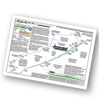
Walk n111 The Cheviot and Cold Law from Harthope Burn Valley

Fabulous views of the Northumberland coast

Download GPS Waypoint Data for walk n111
Download GPX Waypoint Data for walk n111
Download Map and Route Details for walk n111

Vital Statistics:

Length:10.5 miles (17 km)
Ascent:2,614ft (797m)
Time:6½ hrs
Grade:Grade 7 Walking Hard
Walk 20 Walking Bootprint Icon

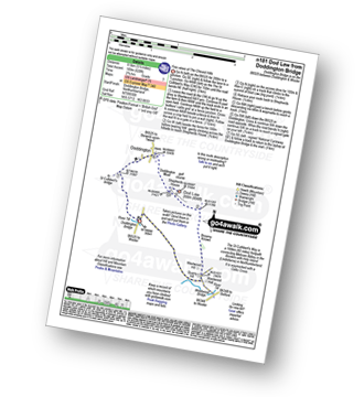
Walk n181 Dod Law from Doddington Bridge

Fine views of The Cheviot Hills

Download GPS Waypoint Data for walk n181
Download GPX Waypoint Data for walk n181
Download Map and Route Details for walk n181

Vital Statistics:

Length:5.5 miles (8.5 km)
Ascent:620ft (189m)
Time:2.75hrs
Grade:Grade 3 Walking Easy
Walk 21 Walking Bootprint Icon

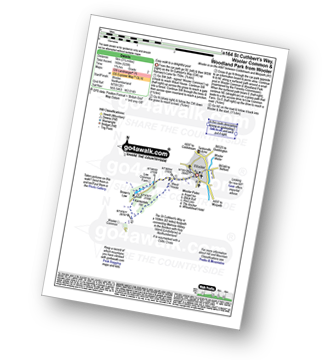
Walk n164 St Cuthbert's Way, Wooler Common and Woodland Park from Wooler

Easy walk to a delightful pool

Download GPS Waypoint Data for walk n164
Download GPX Waypoint Data for walk n164
Download Map and Route Details for walk n164

Vital Statistics:

Length:3.25 miles (5 km)
Ascent:525ft (160m)
Time:1.75hrs
Grade:Grade 2 Walking Easy
Walk 22 Walking Bootprint Icon

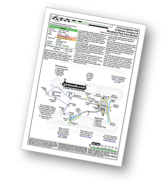
Walk n112 Humbleton Hill and Wooler Common and Woodland Park from Wooler

Steep but short climb to superb views

Download GPS Waypoint Data for walk n112
Download GPX Waypoint Data for walk n112
Download Map and Route Details for walk n112

Vital Statistics:

Length:4.75 miles (7.5 km)
Ascent:985ft (300m)
Time:2.75hrs
Grade:Grade 3 Walking Easy
Walk 23 Walking Bootprint Icon

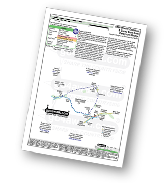
Walk n126 Wooler Common and Carey Burn from Careyburn Bridge

Superb gorge walk

Download GPS Waypoint Data for walk n126
Download GPX Waypoint Data for walk n126
Download Map and Route Details for walk n126

Vital Statistics:

Length:3.75 miles (6 km)
Ascent:700ft (213m)
Time:2.25hrs
Grade:Grade 3 Walking Easy
Walk 24 Walking Bootprint Icon

Walk n143 Humbleton Hill and The St Cuthbert's Way from Wooler

Steep but short climb to superb views

Download GPS Waypoint Data for walk n143
Download GPX Waypoint Data for walk n143
Download Map and Route Details for walk n143

Vital Statistics:

Length:5.75 miles (9 km)
Ascent:1,214ft (370m)
Time:3½ hrs
Grade:Grade 4 Walking Moderate
Walk 25 Walking Bootprint Icon

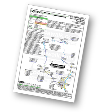
Walk n156 The Milfield Plain and St Cuthbert's Bridge from Wooler

Level field walk across the Milfield Plain

Download GPS Waypoint Data for walk n156
Download GPX Waypoint Data for walk n156
Download Map and Route Details for walk n156

Vital Statistics:

Length:6.5 miles (10.5 km)
Ascent:240ft (73m)
Time:2.75hrs
Grade:Grade 2 Walking Easy
Walk 26 Walking Bootprint Icon

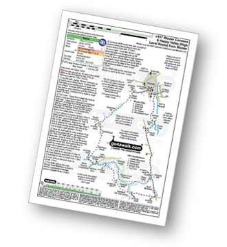
Walk n107 Wooler Common and Happy Valley (High Level Route) from Wooler

Fine views down into Happy Valley

Download GPS Waypoint Data for walk n107
Download GPX Waypoint Data for walk n107
Download Map and Route Details for walk n107

Vital Statistics:

Length:7.5 miles (12 km)
Ascent:1,257ft (383m)
Time:4½ hrs
Grade:Grade 5 Walking Moderate
Walk 27 Walking Bootprint Icon

Walk n216 Happy Valley from Careyburn Bridge

Extensive views followed by a river side stroll

Download GPS Waypoint Data for walk n216
Download GPX Waypoint Data for walk n216
Download Map and Route Details for walk n216

Vital Statistics:

Length:4.5 miles (7 km)
Ascent:781ft (238m)
Time:2½ hrs
Grade:Grade 3 Walking Easy
Walk 28 Walking Bootprint Icon

Walk n204 Commonburn House from Wooler

Fine wild walk in the Cheviot foothills

Download GPS Waypoint Data for walk n204
Download GPX Waypoint Data for walk n204
Download Map and Route Details for walk n204

Vital Statistics:

Length:10.75 miles (17 km)
Ascent:1,746ft (532m)
Time:5.75hrs
Grade:Grade 6 Walking Moderate
Walk 29 Walking Bootprint Icon

Walk n135 Weetwood Moor, Dod Law and Doddington from Wooler

Fine views of The Cheviot Hills

Download GPS Waypoint Data for walk n135
Download GPX Waypoint Data for walk n135
Download Map and Route Details for walk n135

Vital Statistics:

Length:8.5 miles (13.5 km)
Ascent:1,093ft (333m)
Time:4.25hrs
Grade:Grade 4 Walking Moderate
Walk 30 Walking Bootprint Icon

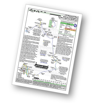
Walk n170 Weetwood Moor, Dod Law, Doddington and The River Glen from Wooler

Fine views of The Cheviot Hills

Download GPS Waypoint Data for walk n170
Download GPX Waypoint Data for walk n170
Download Map and Route Details for walk n170

Vital Statistics:

Length:10.25 miles (16.5 km)
Ascent:1,182ft (360m)
Time:5 hrs
Grade:Grade 5 Walking Moderate

Not familiar with the area around TD2?

See these 30 nearest walks to UK Postcode TD2 on a google map


Do not miss our pick of the Best Walks in the UK


Follow go4awalk.com on Twitter Follow go4awalk.com on Facebook